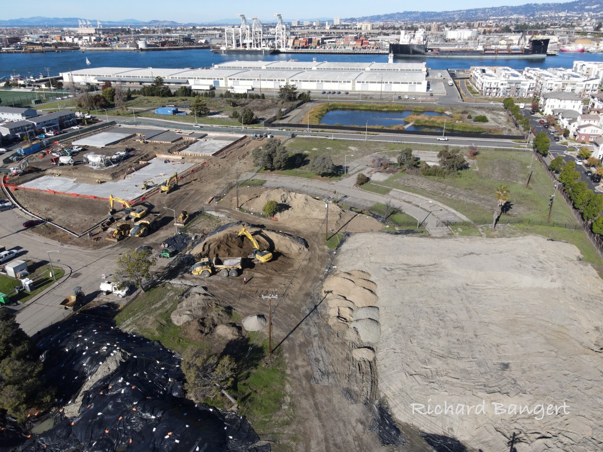
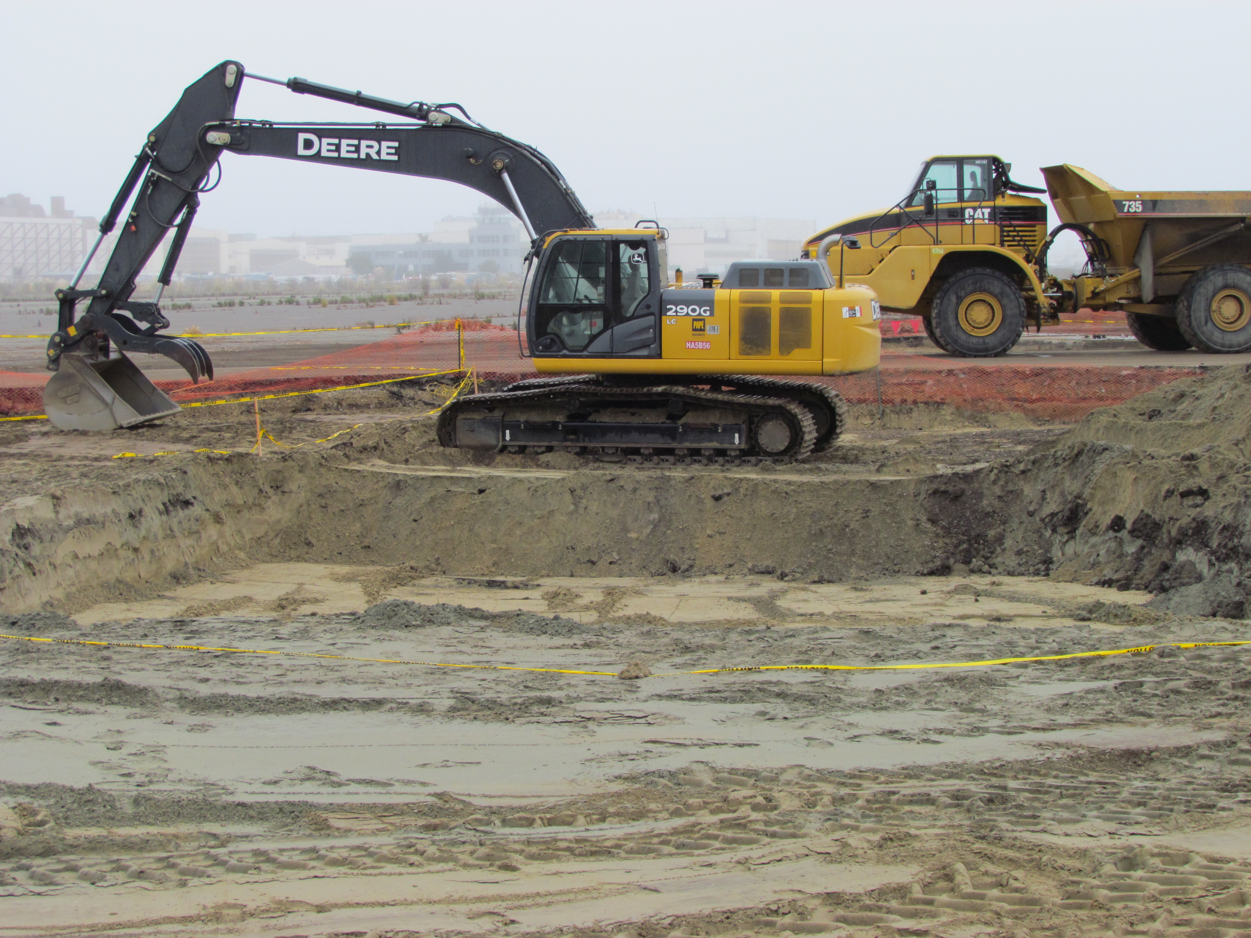
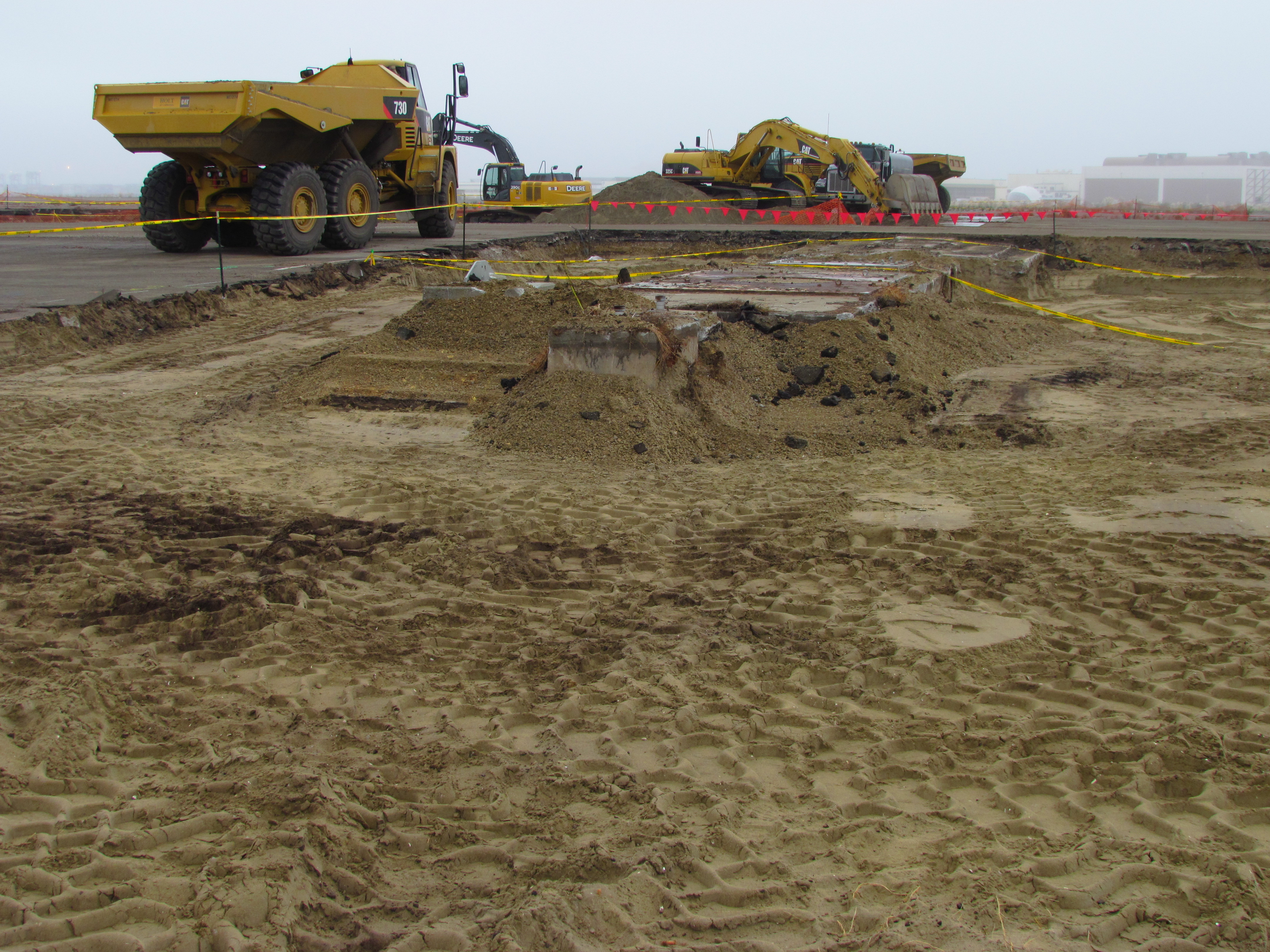
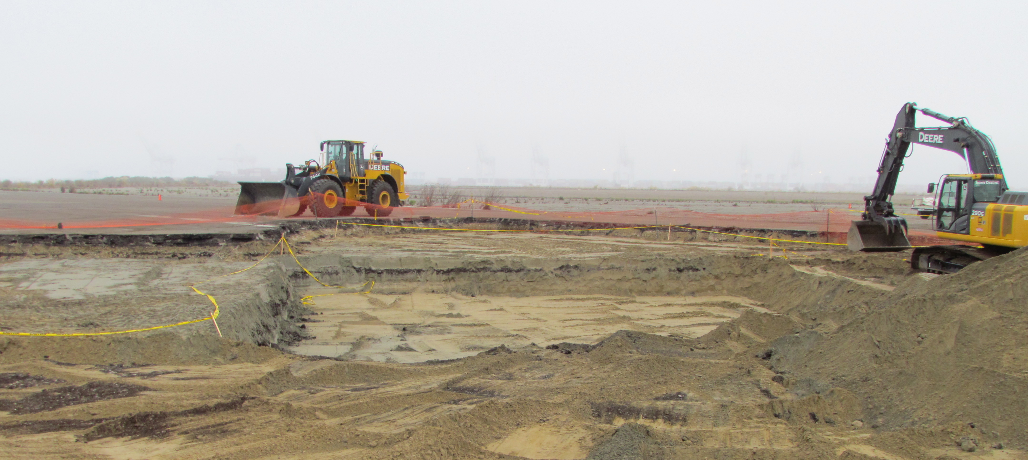
Heavy equipment arrived in early November at the corner of Lakehurst Circle and Mosley Avenue, two blocks away from Target, to begin construction of the first block of North Housing, a planned 12-acre affordable housing site owned by the City of Alameda Housing Authority.
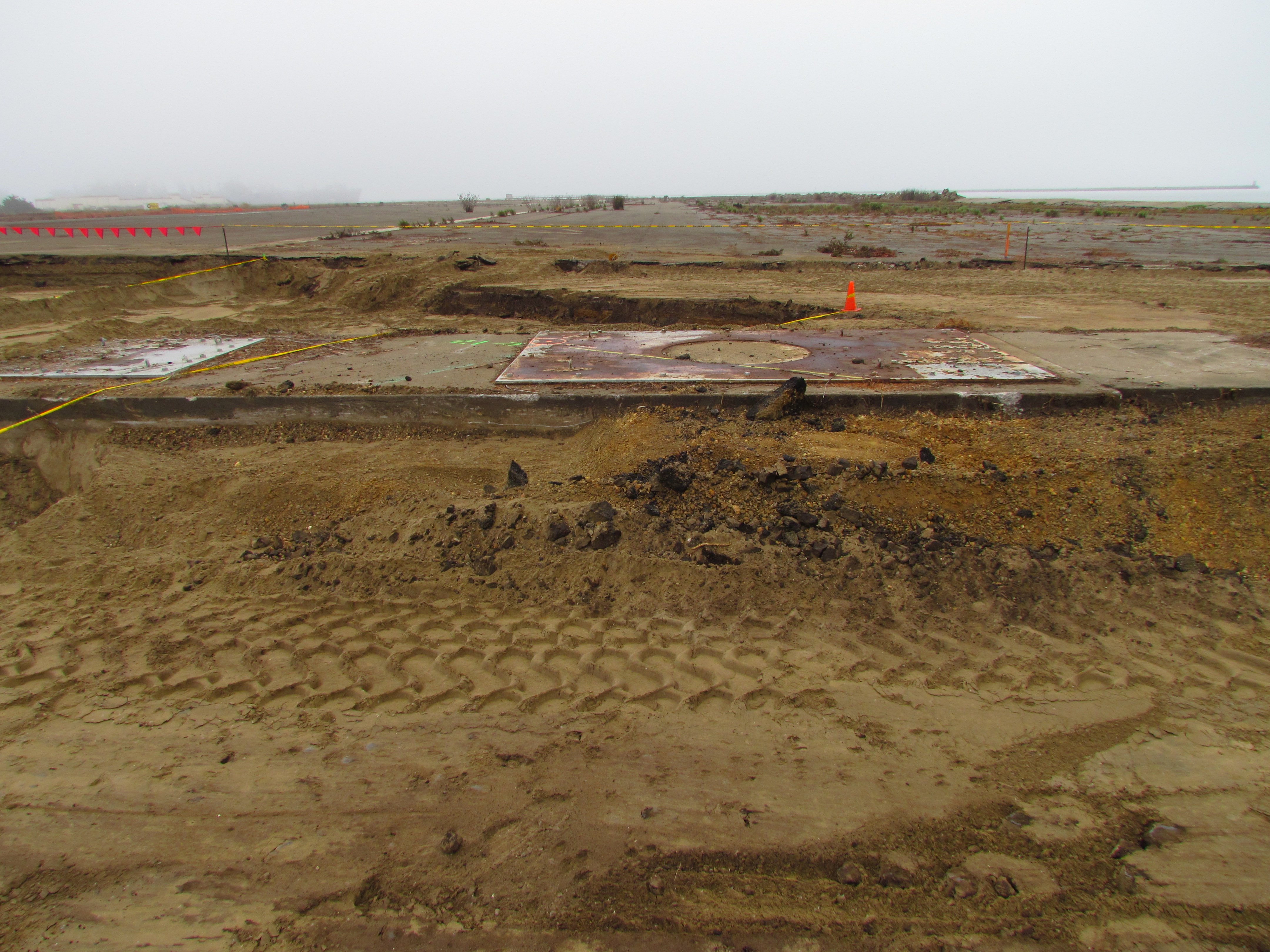
The massive 10.5-foot-thick concrete base of the building, though dramatic in scale and ready for earthquakes and groundwater rise, is only part of the story. The excavation and exposure of 13 feet of soil layers is a reminder, both figuratively and literally, of the 200 years of social, political, and geographical events that directly influenced what is happening here today.
This article highlights the history:
The days when the whole area was marshland;
Industrialization that brought pollution;
Filling in the marshland;
Navy ownership; and
National priorities and a social movement that laid the groundwork for today’s affordable housing plans.
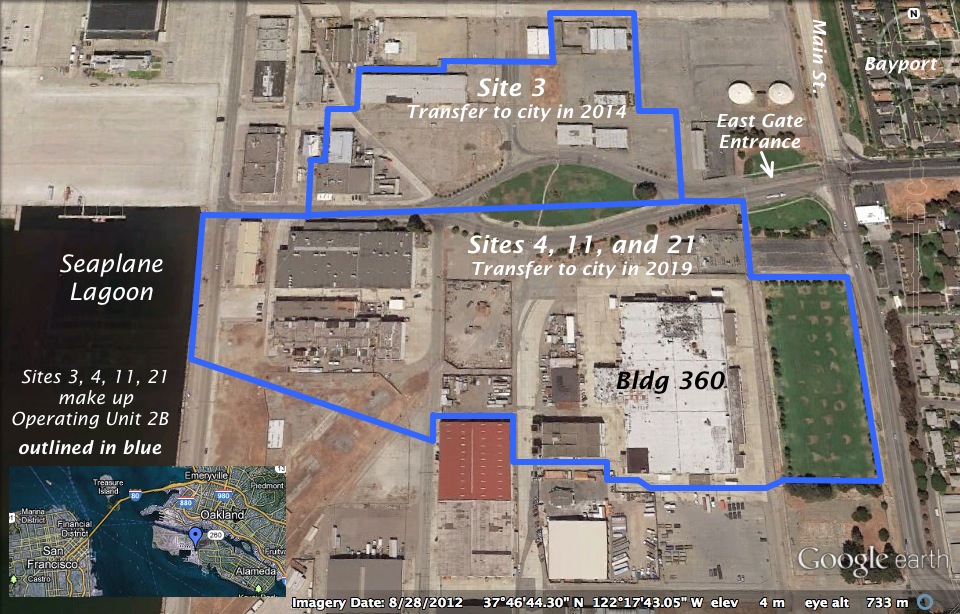
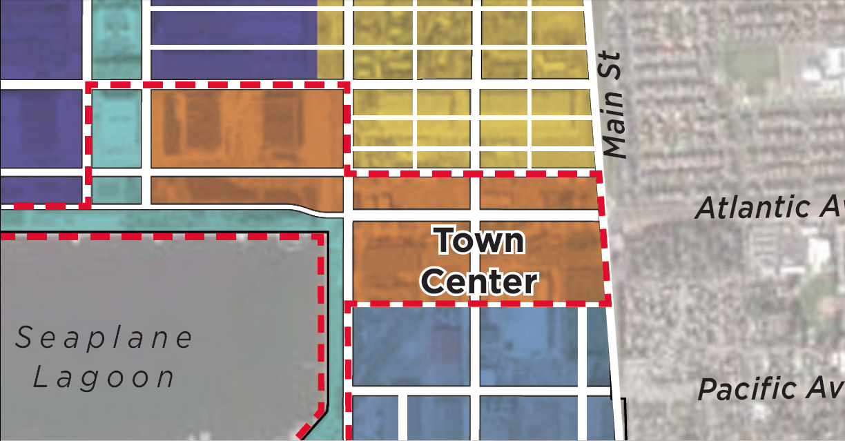
The city has announced that over 500 acres of land will be transferred from the Navy to the city on June 4, 2013. It will be the first – and largest – of a four-phase schedule of land transfers to the city. One of the areas that won’t be transferred this year is located at the main entryway into the future Town Center currently being designed.
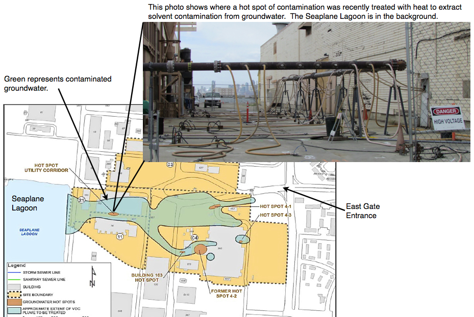
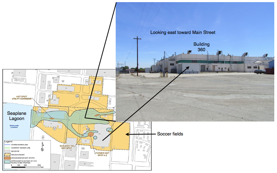
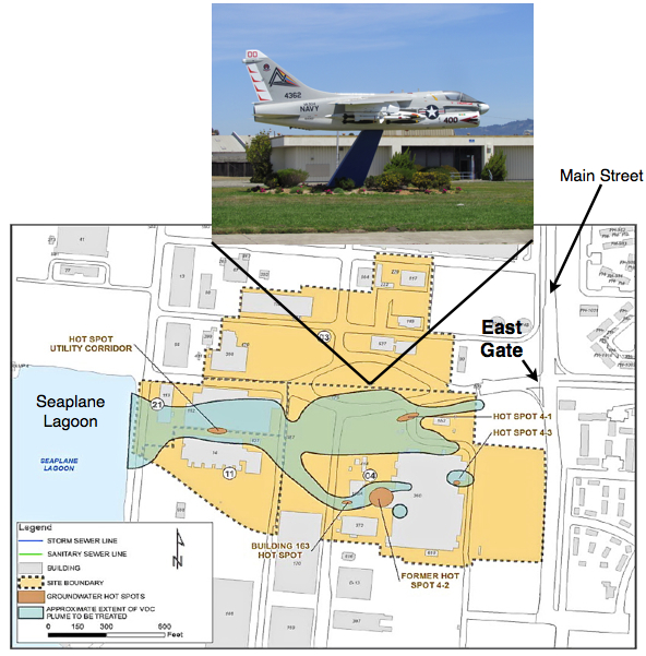
Illustrations on map by Richard Bangert. Click on map to enlarge.
Driving into the “East Gate” on West Atlantic Avenue to Ferry Point Road at the Seaplane Lagoon takes you through part of the future Town Center – and through a major environmental cleanup area called Operating Unit (OU) 2B.
Plans for a vibrant mixed-use Town Center to kick off redevelopment are now in the design stage, but 33 acres on the south side of West Atlantic Avenue won’t be transferred to the city until 2019. That’s when contaminated groundwater is expected to be cleaned up to commercial standards, allowing the Navy to turn over the land.
The overhaul of aircraft and ship engines in this area led to major contamination of groundwater with trichloroethane and vinyl chloride, as well as pockets of soil contamination. After testing various cleanup methods on the contaminated groundwater area – called a plume – the Navy and regulatory agencies have decided to rely mainly on bioremediation – natural bacteria – to degrade the contamination.
Soil hot spots will be removed, except under buildings. Future developers will be responsible for soil under buildings once they are demolished.
One of the groundwater hot spots close to the Seaplane Lagoon was successfully treated last year with a heat and vapor extraction system. Some of the other hot spots are impossible to treat with electrical heating because of underground power lines nearby.
Click on image to enlarge
The Navy has found bioremediation to be the most practical method to finish the job. Work details will be finalized later this year. Bioremediation can involve injecting new bacteria, but here it will likely mean injecting oxygen to spur the growth of existing bacteria. It’s the carbon atoms in the chemical contaminants that are attractive to bacteria, allowing them to naturally disassemble a chemical compound.
Someday, decades from now, the danger from vapors entering buildings will be low enough to permit ground floor residential use. Current restrictions imposed under the Navy’s cleanup plan will prohibit ground floor residential, but will allow residential use above the first floor, provided an approved vapor barrier and venting system is installed under any new construction. First floors will be allowed to have commercial uses once the city receives the land in 2019. Groundwater monitoring wells around the cleanup area will remain usable and accessible for regular monitoring for at least 20 years.
The cleanup area north of West Atlantic – 13 acres called Site 3 – will be turned over to the city next year following removal of several contaminated soil hot spots containing lead and other contaminants. Some of the contaminated soil areas are under building slabs on Site 3 and will be the responsibility of a future developer. All of the buildings in the East Gate cleanup area called Operating Unit (OU) 2B – 46 acres – are expected to be demolished rather than reused.
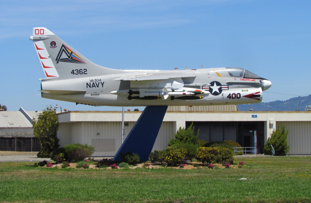
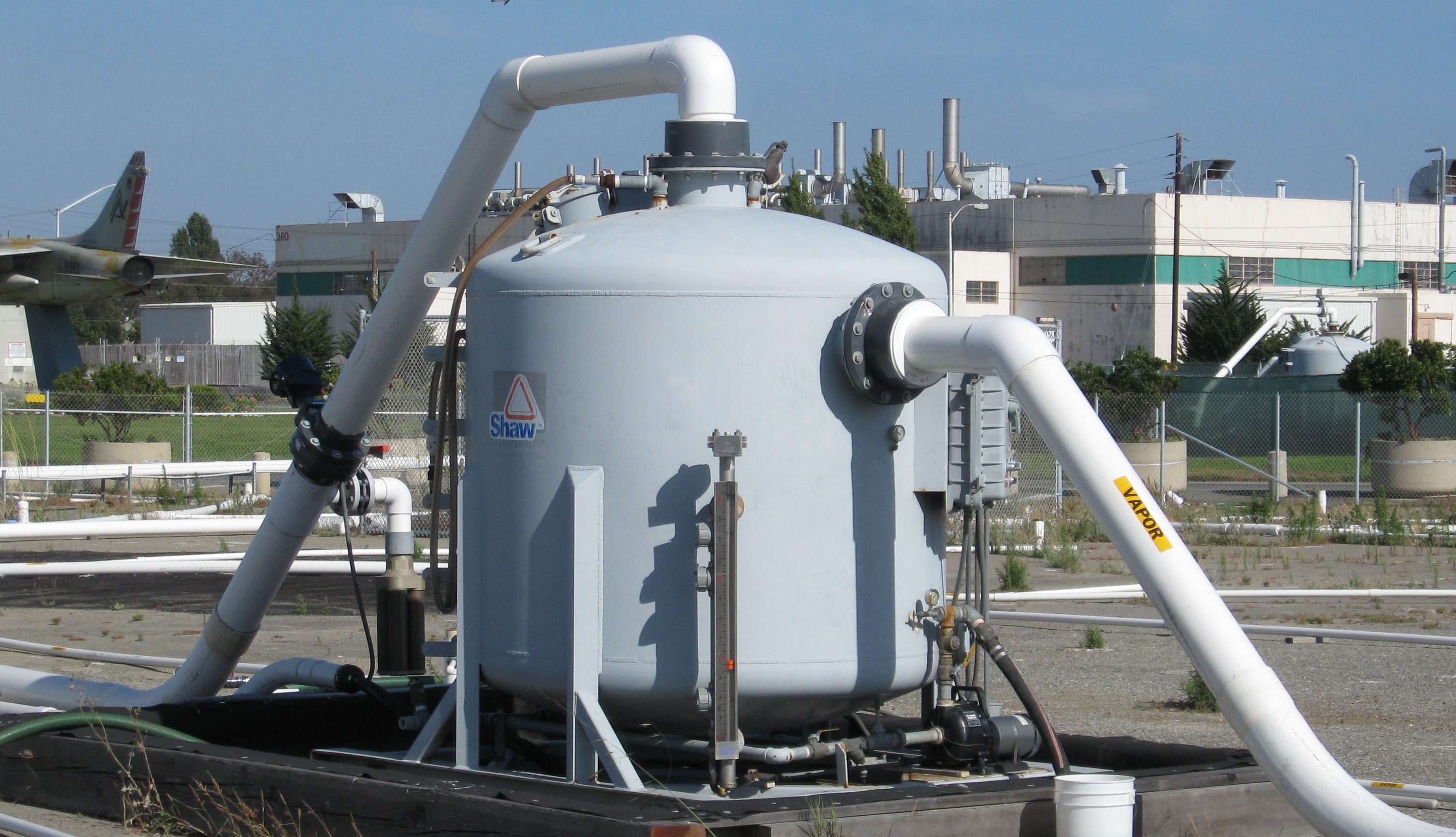
Site 3 north of West Atlantic was also heavily contaminated with jet fuel around an area where underground fuel storage tanks were once located. The former storage tank area is west of the jet monument and is still dotted with white pipe stubs once connected to a maze of cleanup pipes. The jet fuel cleanup was completed two years ago under the Navy’s Petroleum Program using a vapor extraction system. Removal of underground tanks and fuel lines was completed in 1999.
Vapor extraction system that operated for several years to clean up jet fuel in the ground on Site 3. Charcoal filter tank has been removed. Jet monument and Building 360 are in the background.
Click on image to enlarge.
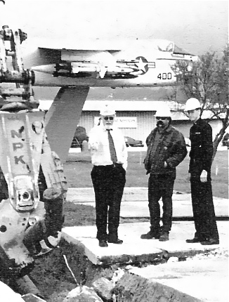
Removing jet fuel line in OU-2B cleanup area in 1999. Jet monument is in background. Source: Navy environmental newsletter, Winter 1999.
Some of the toxic contamination at Alameda Point is not the result of Naval operations.
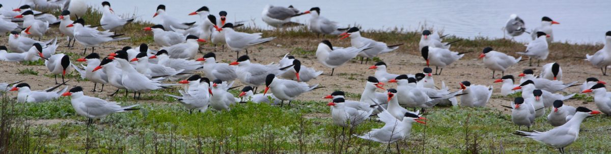
The Navy began cleaning up contaminated soil at five hot spots in the airplane runway area of Alameda Point in October. Cleanup Site 33 – on the area commonly referred to as the wildlife refuge – encompasses the southern end of the main north-south runway and adjacent tarmac, and is near the Least Tern nesting site and a wetland area.
The soil here became contaminated with PAHs (polycyclic aromatic hydrocarbons) before it ever became part of Alameda Point. The fill material used for creating this land mass was dredged from the Oakland Estuary primarily between 1936 and 1941 by means of a pumping system. It was contaminated by a coal gasification plant, which operated in Oakland around 100 years ago that disposed of waste into the waterway. Some of the sediment contamination may also have originated at the Pacific Coast Oil Refinery that once operated on the west end of Alameda.
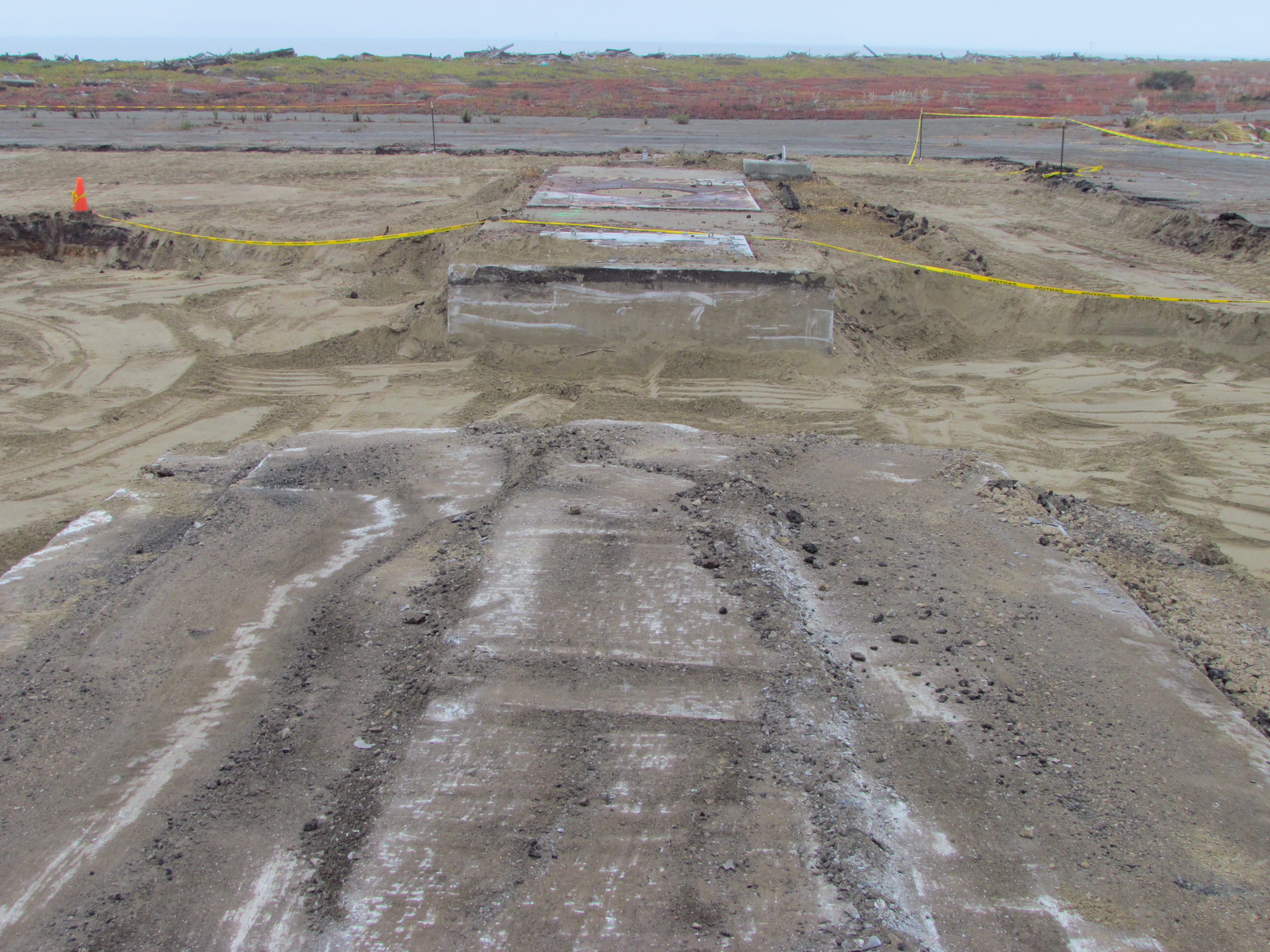
Site 33 arresting gear structure remnant
The potential health risk from PAHs, normally through ingestion of dust, has been part of cleanup evaluations for over a decade. The Navy and regulatory agencies agreed to the EPA’s residential soil standard in 2001.
PAH soil sampling began in 2002 at 300 locations throughout Alameda Point, including Site 33, producing over 1,200 samples. The 500-plus acre wildlife refuge parcel had 79 soil borings that produced 316 samples. Five boreholes exceeded residential use standards.
A 2008 report recommended additional testing at Site 33 that was done in 2010, leading to the current cleanup work at the five hot spot areas.
Over the past 22 years, more than 28 environmental studies have been conducted on the “refuge parcel,” looking at everything from volatile organic compounds, petroleum byproducts, PAHs, pesticides, PCBs, dioxins, explosives, metals, and radium. They analyzed surface sediment, soil, surface water, underground water, manhole sediment, and animal and plant tissue samples. Aerial photographs were also reviewed.
Talks between the Navy and US Fish & Wildlife Service for establishing a national wildlife refuge reached an impasse a decade ago, before many of these studies were completed, due to Fish & Wildlife’s concerns about liability for unforeseen cleanup expenses.
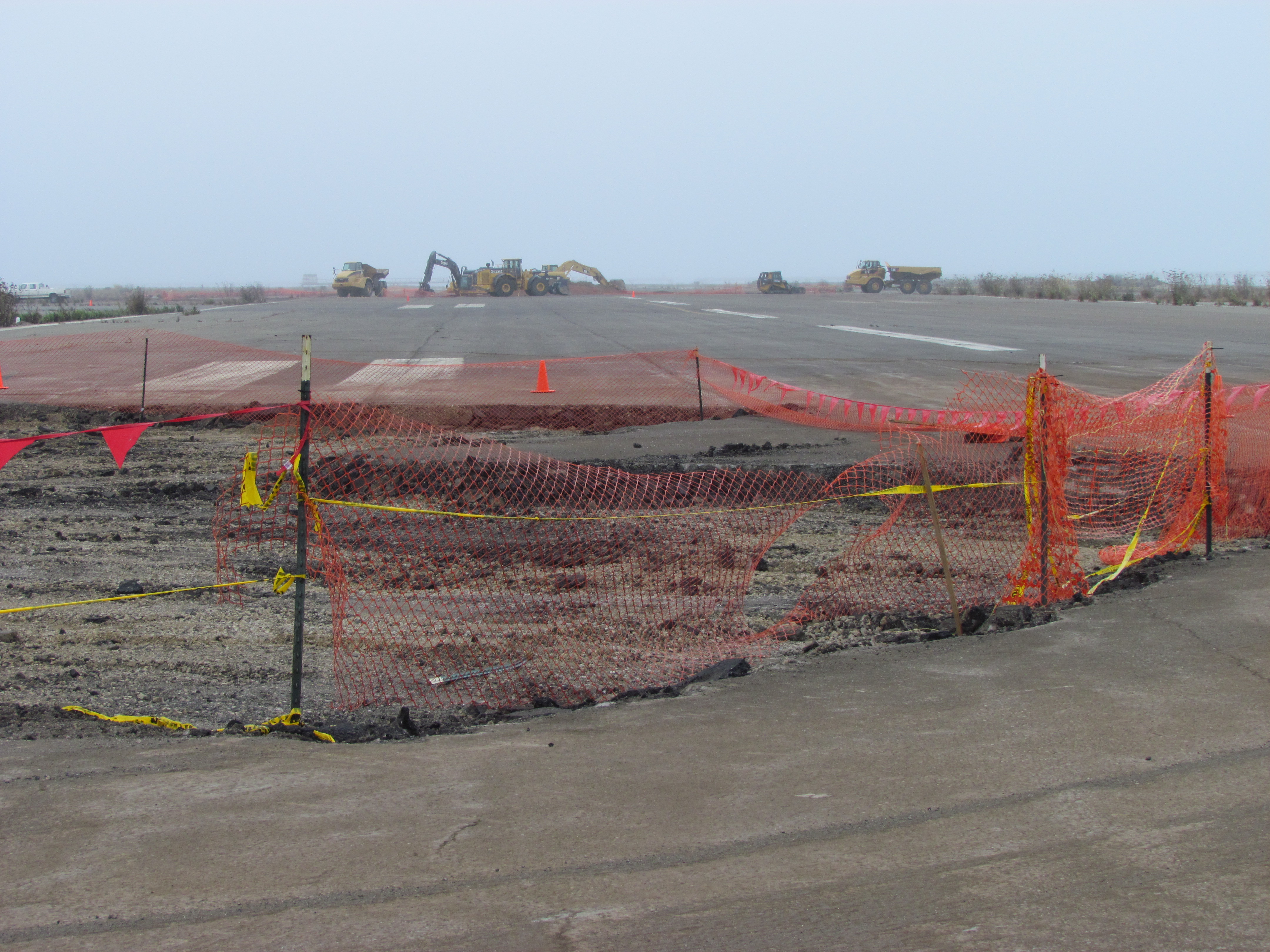
Refuge runway – Site 33 – one of five soil excavation areas
Today, the refuge parcel is slated to be transferred to the US Department of Veterans Affairs. Only about 40 acres of the refuge will be needed for their national cemetery and clinic if plans are approved to move most of the project northward onto the city’s Northwest Territories parcel.
The Navy will present an update on Site 33’s soil cleanup at the next Restoration Advisory Board meeting, 6:30 PM, Thursday, Nov. 8 at 950 West Mall Square, Community Conference Room at rear of building.
Site 33 arresting gear structure remnant
Refuge runway – Site 33 – one of five soil excavation areas
The 4.18-acre cleanup Site 34 in the old runway area next to the Oakland estuary looks barren from a distance. But up close there are concrete slabs and pavement, reminders of its bygone days as a bustling workshop area.
This area was once part of the division known as the Naval Air Rework Facility (NARF). Everything from sandblasting and painting, to metal working, woodworking, and scaffold maintenance went on out there. More than 40 years of activity left soil around buildings contaminated with lead, arsenic, pesticides, PCBs, and aircraft and diesel fuel. Above ground fuel storage tanks and electrical transformers contributed to the contamination.
The Navy will clean up the soil in this area next year. Their draft work plan, which will be released on July 31, was discussed during a Navy presentation at the July 2012 Restoration Advisory Board (RAB) meeting.
Site 34 aerial view. Old fuel dock to left of site. Runway at bottom is part of area where antiques faire is held. Navy photo/graphic.
Based on more than 200 soil samples taken in prior years and this year, the contractor created the draft work plan. Separate groundwater samples indicate contamination from the solvent trichloroethane. No remedial action is being taken on the trichloroethane, however, because 1) vapor intrusion into residences is not a factor, as this land will become Public Trust Land on which housing is not permitted; and 2) water monitoring has shown that the chemical is not migrating toward the estuary.
The northern edge of this site is part of the early westward land extension of Alameda, which allowed trains carrying freight and passengers to get out to a point where the water was deep enough for ferry connections. More fill was later added to the area. According to the Navy’s Remedial Investigation report, “In the 1920s, most of IR Site 34 was filled with estuary dredging material during construction of the Posey Tube.”
Site 34 starts at concrete slab on far side of tree. Port of Oakland on right. In late 1800s and early 1900s, trains travelled on tracks along the estuary where tree and slab are.
By the time the closure of the Navy base was announced in 1993, this workshop area had 12 buildings, 7 aboveground storage tanks, 2 “generator accumulation points” (waste storage), 15 transformers, and over 7,000 feet of aviation fuel line. Between 1996 and 2000 everything except the concrete pads and pavement was removed.
Building demolitions ended shortly after Alameda Point became a Superfund site in July 1999. The Superfund program, officially called the Comprehensive Environmental Response, Compensation, and Liability Act (CERCLA), does not allow for land improvements such as building demolition.
Most of the soil cleanup locations are adjacent to the exterior edges of old building slabs. Much of the lead in the soil came from sandblasting lead-based paint. Other contamination came from lubricants used for metals fabrications, and the use of oils and solvents for woodwork and metal work. In addition to removing soil next to the slabs, the contractor will dig under the slabs at the hot spots to take what is called a sidewall sample to confirm that all contaminated soil is removed. They have to keep digging as long as contamination is found. Clean soil will be brought in to the areas where soil is removed.
A strip of coastal marshland running along the Oakland Estuary on the north end of the site has no contamination. Its habitat quality, however, is marred by discarded concrete, wood, and trash. It will be up to the city to initiate wetlands restoration efforts there.
Coastal marsh on Oakland estuary at Alameda Point Site 34. Port of Oakland on left. Old runway area on right. Looking east toward Alameda Main Ferry Terminal.
A 60-day public comment period on the work plan begins when it’s released on July 31. The work plan will be finalized in January 2013. Fieldwork is anticipated to take place January through April 2013.
Site 34, located in the Northwest Territories, is expected to be given to the City of Alameda in 2014.
Todd Shipyards/Site 28. Dog Park to left of fence, Port of Oakland on right.
Right next to the Main Street Ferry Terminal, between the Oakland Estuary and the Dog Park, is the Navy’s cleanup Site 28, also known as the Todd Shipyards site. The contamination at this site — copper and arsenic, and to a lesser extent lead and hydrocarbons — was not the result of Navy activities, even though the Navy owns the property.
Background
Filling in the land with estuary dredge soil contaminated with hydrocarbons from the coal gasification plant that once operated in Oakland was likely responsible for the petroleum-related hydrocarbons in the ground. The Alameda Mole Railroad operated along this route from 1883 until 1939 and was also a possible contributor to the hydrocarbon residue in the soil. Non-Navy shipbuilding and repair between 1941 and the 1980s was responsible for lead, arsenic, and copper contamination.
According to the Navy fact sheet, “The property was leased to various entities for non-Navy shipbuilding and repair between 1941 and 1970. The property was purchased from the Navy in 1970 by the Todd Shipyards Corporation, which used the land as an extension of its adjoining shipyard property until 1983, when the property was then sold to Alameda Gateway Limited. The IR Site 28 portion of the former shipyard reverted to Navy ownership in 1995.”
Paint used on ships
The copper contamination came from paint used on the bottoms of ships. The paint was an anti-fouling paint that served to prevent the growth of barnacles. Copper in the paint acted as the biocide, which is why possible leaching into the estuary is a big concern.
Emerging cleanup technology
Todd Shipyard/Site 28 groundwater monitoring well. Alameda Main Street Ferry Terminal in background.
Even though the Navy did not cause the contamination, they are responsible for the cleanup, which it performed in 2010. They are also responsible for monitoring the groundwater for 10 years to make sure their methods are permanent. Some of the methods used here were straightforward: Digging up soil and replacing with new soil.
The copper at groundwater level, however, is being dealt with by an emerging technology called metals immobilization. In this process a proprietary non-toxic compound is injected into the ground to bind to the copper and cause it to be absorbed into soil particles, which will prevent it from leaching into the estuary and harming aquatic life. Hence, the term immobilization – the copper is no longer mobile, or able to move. Water and natural microbes in the ground are what activates this immobilization compound. A helpful byproduct of this reaction is that food (carbon) for natural microbes is released, further enhancing the effectiveness of this process.
So-called emerging cleanup technologies are halfway between experimental and mainstream. They have been proven effective in the short term, or in some locations, but have not been in widespread use long enough to be considered 100% effective in every soil type. No one knows for certain if the binding effect will hold, but pilot lab tests were done on soil from Site 28, and the Navy and regulators fully expect it will work. If groundwater monitoring indicates that it’s not working, the Navy will have to come up with another plan since there is no statute of limitations on their responsibility for cleanup.
The past year had some high points and low points in the cleanup process at Alameda Point. Added delays, including a pile-driving surprise, were balanced out by steady progress.
The year saw, among other things, completion of a second Point-wide radiological survey of buildings and structures that identified two building interiors needing radium remediation, a new soil scan for radium on a section of the western runway area, replacement of a storm drain segment next to the Seaplane Lagoon, and preparation of the environmental document for the Berkeley Lab site, which will be useful whether we get the Lab or not.
Northwest Territories - Site 1 dump area, partly covered by runway
The contractor preparing to cover the old dump with rocks and soil at the northwest tip of Alameda Point delivered some embarrassing news to the Navy. In the normal course of their duties, work-plan design testing revealed that the shape of part of the contamination did not match the official description. You would think they could just process a work-order change. But the Superfund law requires an additional two-year review process, which will push the completion of this open space opportunity to 2015.
At another cleanup project, the Navy drove over four dozen 30-foot steel electrodes into the ground to heat up the toxins and capture the vapor. But before turning on the electricity, the contractor discovered they had hit a sewer line. The project has since been idle for months awaiting a decision on how to proceed.
Seaplane Lagoon dredge dewatering pad - northwest corner
The big Seaplane Lagoon dredging project that began in January is certainly one of the most dramatic displays of cleanup. Both the northeast and northwest corners of the lagoon were supposed to have been dredged by April and final soil disposal completed by year’s end. But the contractor failed to meet the deadline and was let go. A new contractor has been testing and removing existing soil, as well as doing extensive set-up over the past two months for the dredging of the northwest corner that will begin in January.
Another dredging project has just begun under the dock area next to the maritime ships. They’re removing mud contaminated from two storm drain lines. That project is on schedule. It’s worth visiting the area to get a glimpse of the elaborate engineering needed to capture and clean water runoff from the mud.
Shinsei Gardens low-income housing located above ongoing groundwater cleanup
Less dramatic and seldom seen work is always ongoing. Groundwater is monitored at cleanup sites to ensure cleanup goals are being met. One example is the monitoring of the removal of benzene and naphthalene under Shinsei Gardens and vicinity.
Evidence of the Petroleum Program is also seldom seen, other than some white PVC pipes in the ground. But besides the big fuel extraction projects, there is ongoing testing of pipelines and oil/water separators in order to develop a remedial plan.
Finally, and perhaps most important, getting the first, very large, no-cost land conveyance from the Navy next year appears to be on schedule. To help make it happen, the Navy and regulators are planning on modifying cleanup goals by enacting restrictions against future ground-floor residential development near the east entrance to Alameda Point.
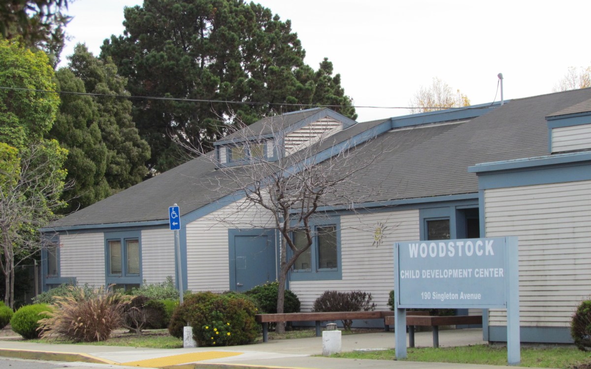
In November of 2008, after years of testing, evaluation, and one emergency soil removal action, the Navy issued the final report on what to do in the area where Island High School and Woodstock Child Development Center are located. The area is designated Installation Restoration (IR) Site 30. The Navy’s conclusion, or proposed plan, was that no further action is required.