Alameda could find itself back at square one, or at least close to it.
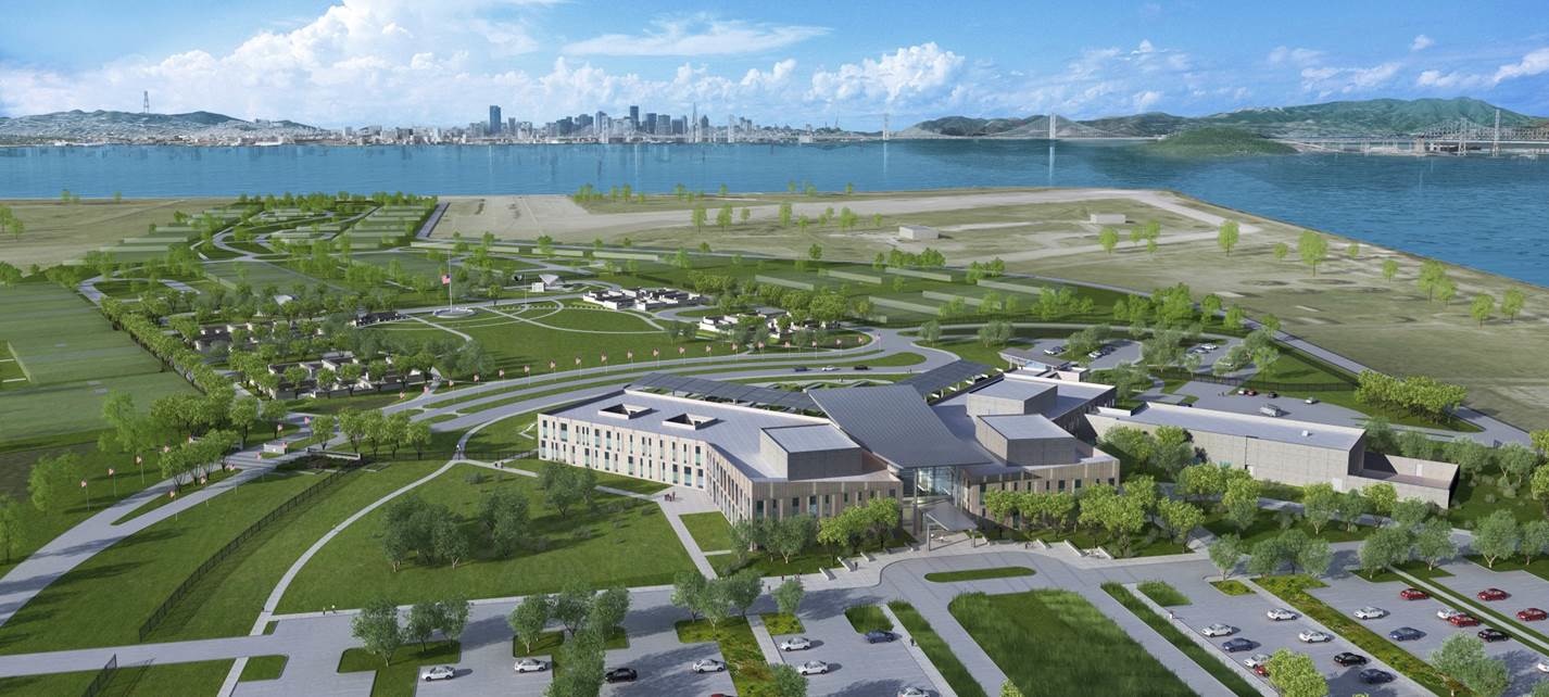
In September 2025, Representative Lateefah Simon informed city officials that the U.S. Department of Veterans Affairs (VA) had decided to cancel plans for a clinic and columbarium cemetery at Alameda Point. The news became public when a letter to the VA from Congresswomen Lateefah Simon and Nancy Pelosi and Senators Adam Schiff and Alex Padilla was released on December 12, 2025.
The congressional delegation urged the VA to reconsider its decision to terminate the project. On December 15, 2025, public officials and representatives of veterans organizations made a similar plea on the steps of Alameda’s Veterans Memorial Building.
If the VA sticks to its decision to terminate the project, it is unclear what will happen next. But two land-disposal processes are on the table.
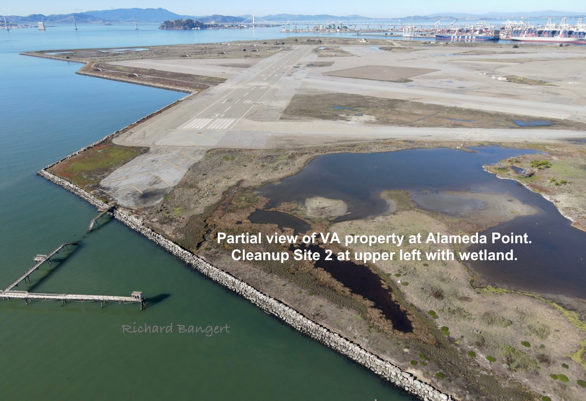
The delegation’s letter to the VA questioned why the agency plans to turn over the land to the federal General Services Administration (GSA), which handles disposing of real estate. The congressional delegation pointed out that the land could go back to the Navy, according to the VA/Navy land transfer agreement. The letter explained that the “VA and the Navy have a binding agreement that requires VA to notify the Navy of its decision to terminate the project within 30 days of its determination, and permits the Navy to receive the property if VA makes such a decision within fifteen years of this 2014 agreement.”
This means either the GSA or the Navy will dispose of the federal land. History and current events will likely play a role in both scenarios.
Continue reading “Two possibilities for Alameda Point VA property following veterans project cancellation”