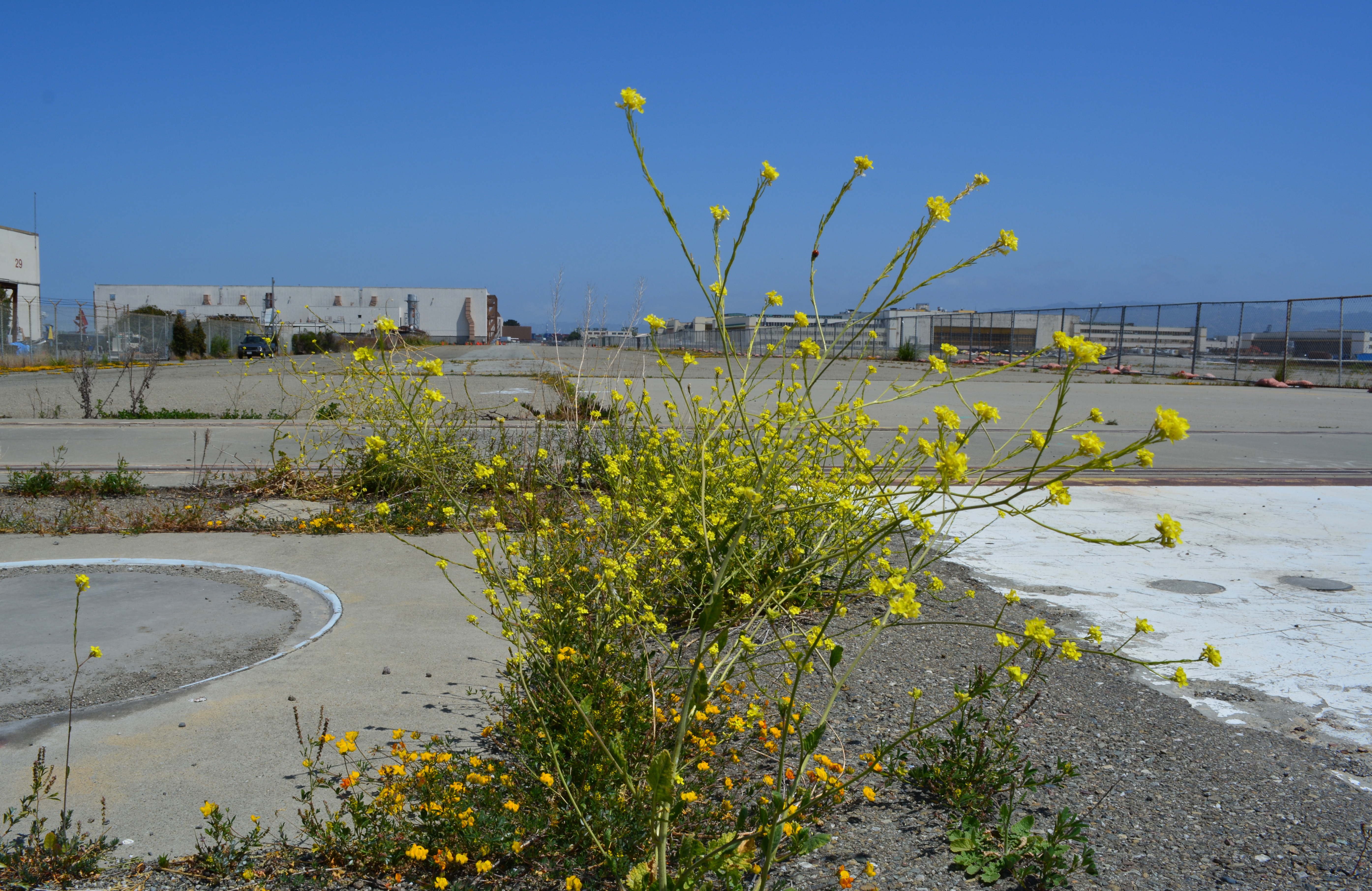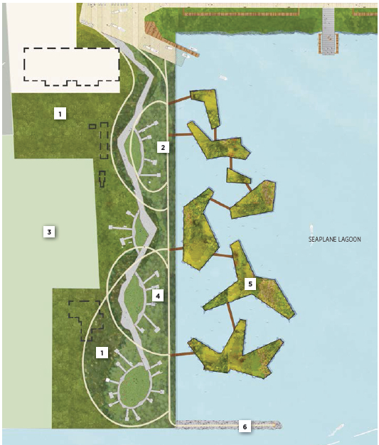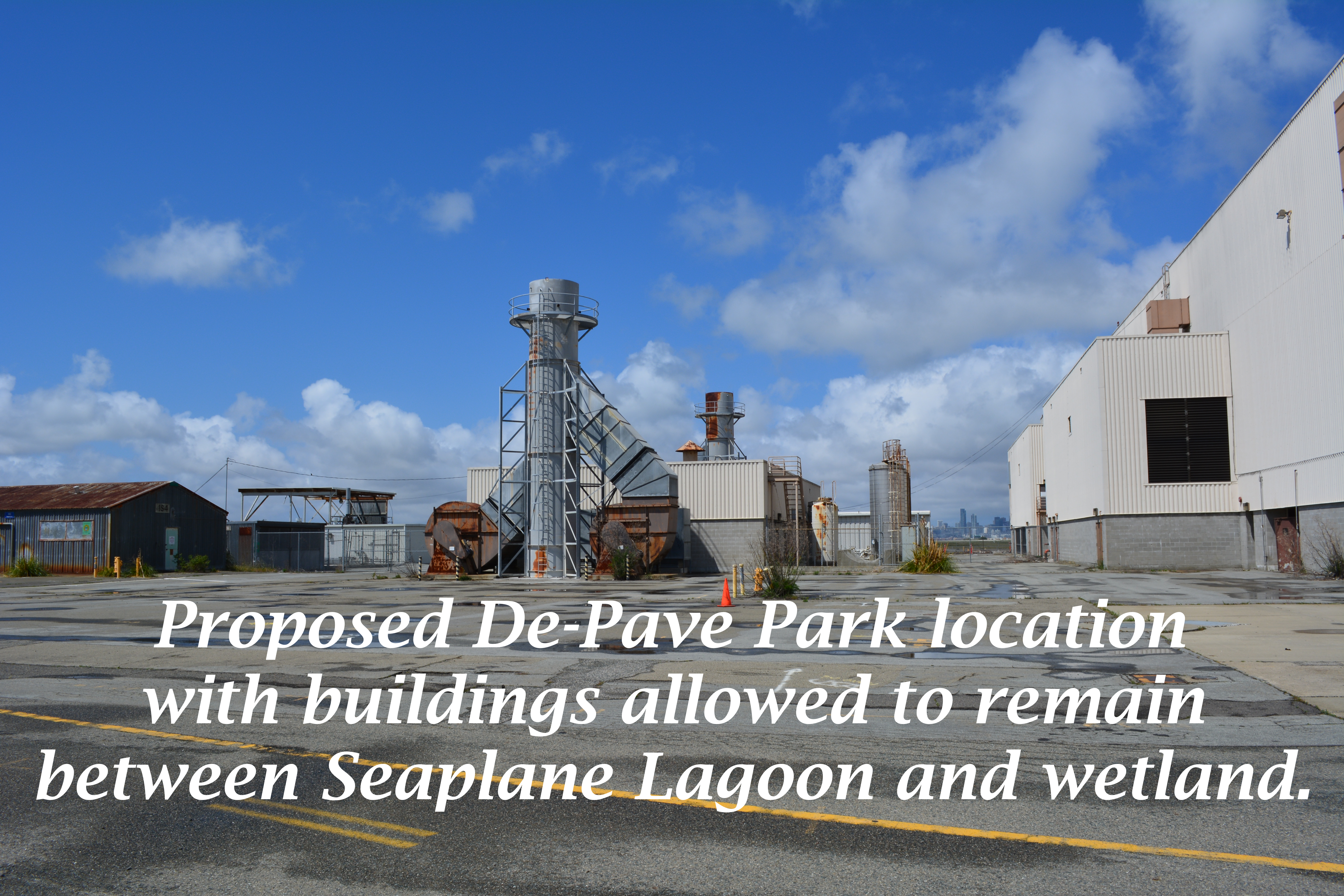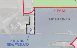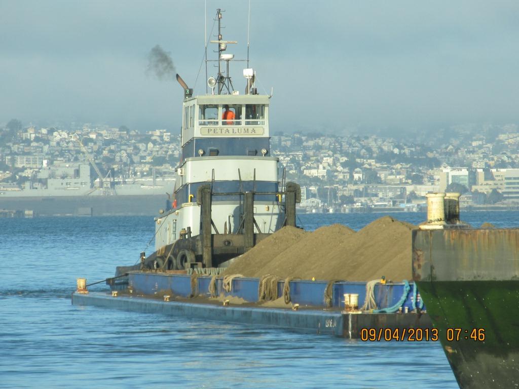
The Seaplane Lagoon’s north side will be looking like its old self in a few months. The Navy has begun dismantling the waterproof concrete-walled containment system that was used for three years for dewatering and testing of soil dredged from the Seaplane Lagoon, marking a major cleanup milestone. Prior to that dredging work, much of the lagoon’s north frontage served as a staging area for replacement of storm drain lines contaminated with radium-226.
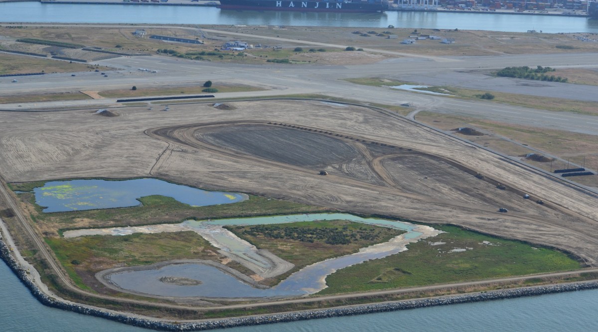
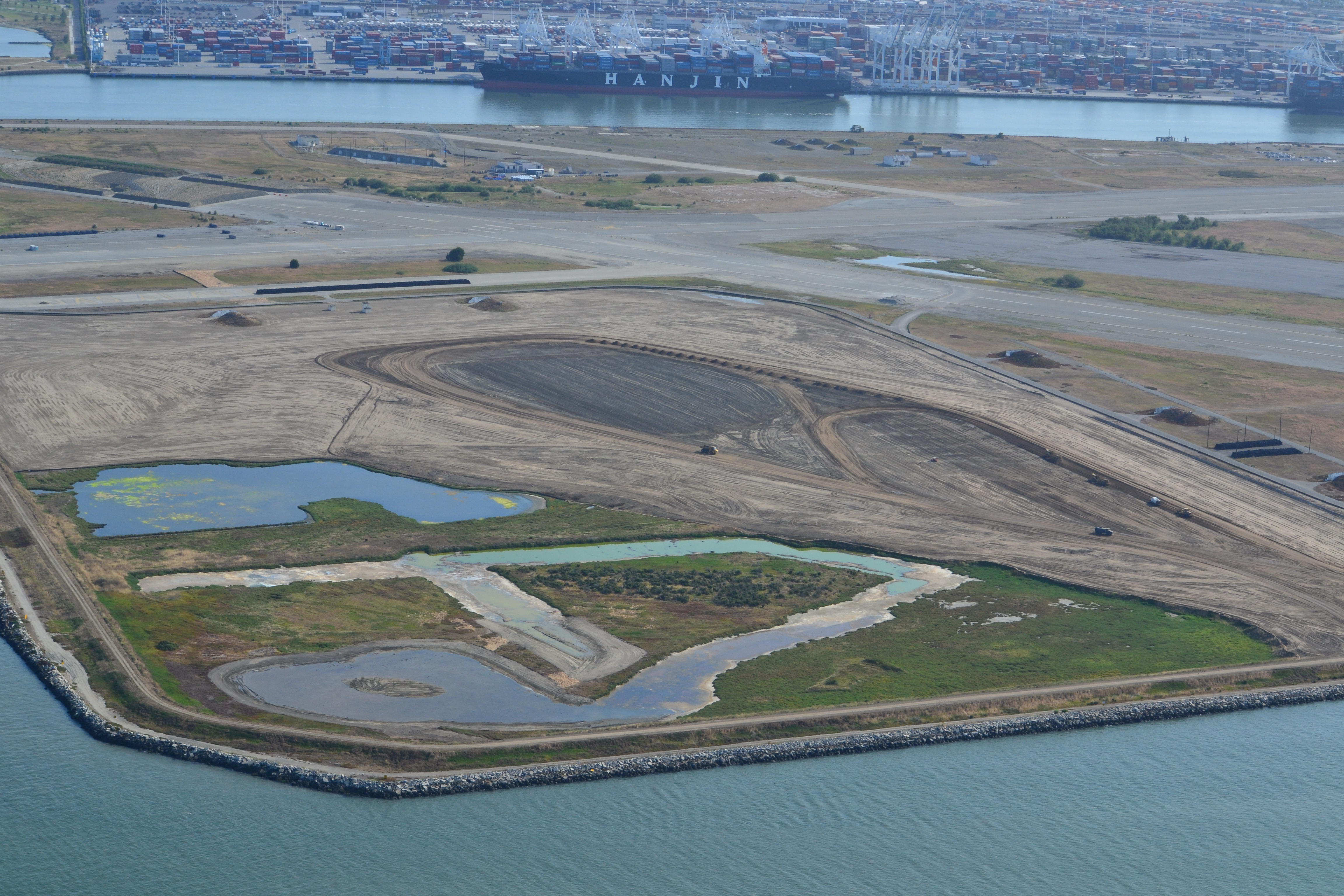
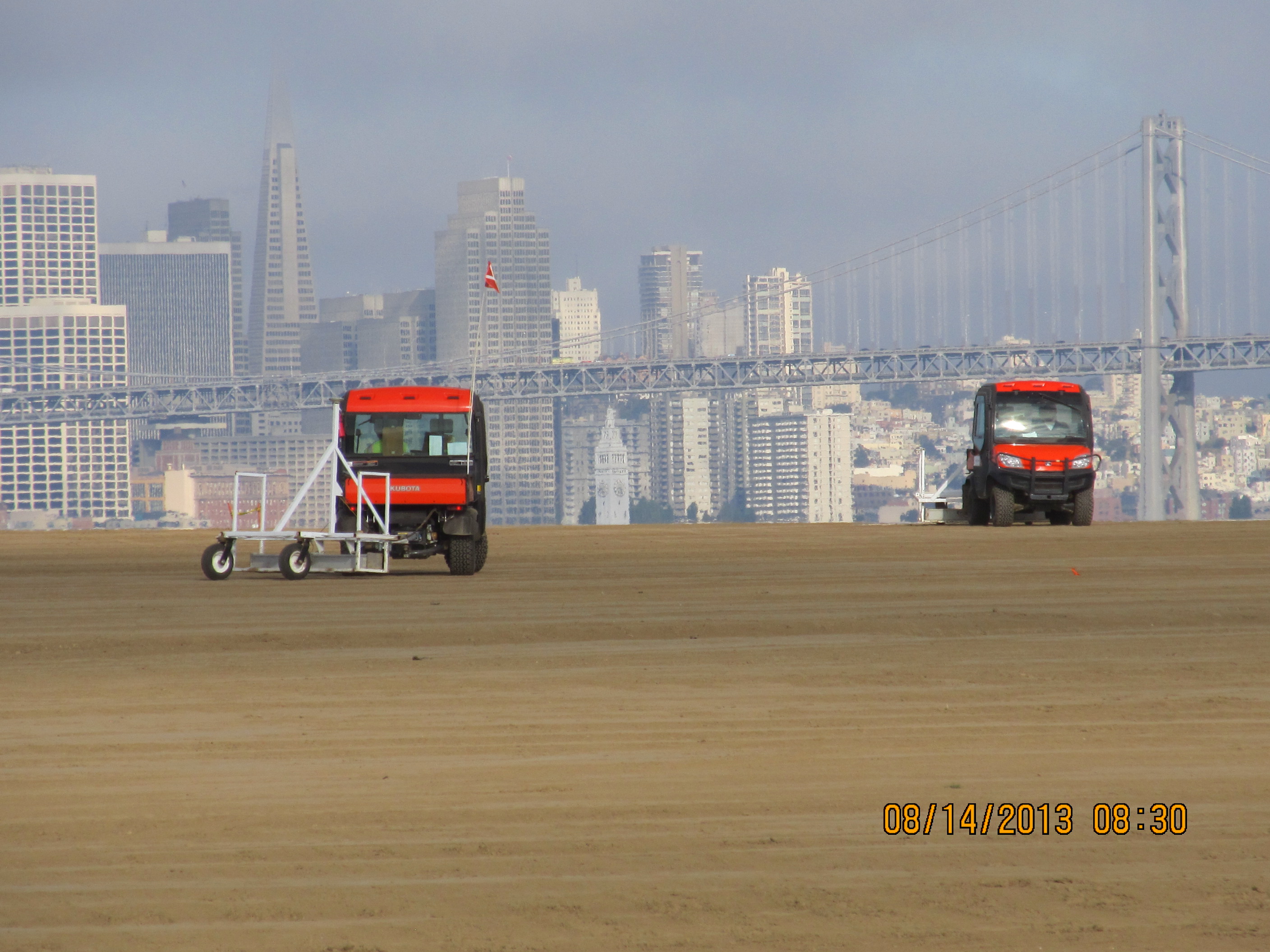
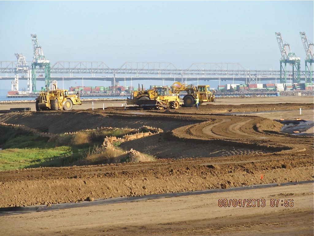
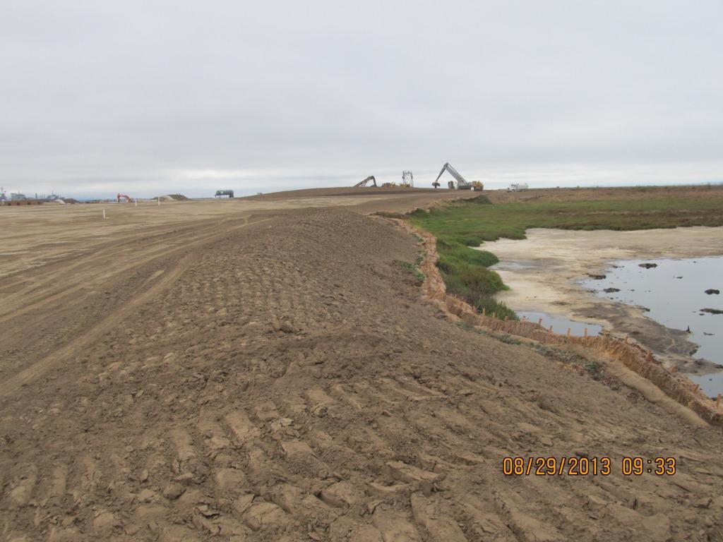
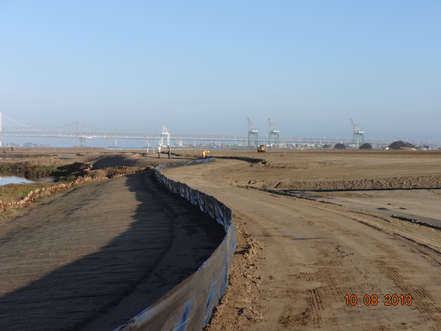
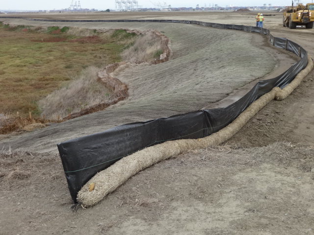
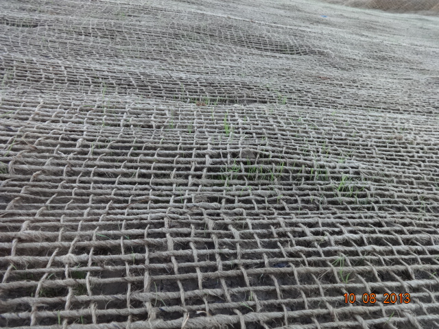
Construction of a new and improved soil cover over a waste disposal site concluded this spring, marking another milestone. The 110-acre site on the southwest corner of Alameda Point took 10 years of haggling about potential environmental impacts before a cleanup plan was adopted in 2010. Work began in early 2013. The dome-shaped soil cover required 500,000 cubic yards of barged-in soil to complete.
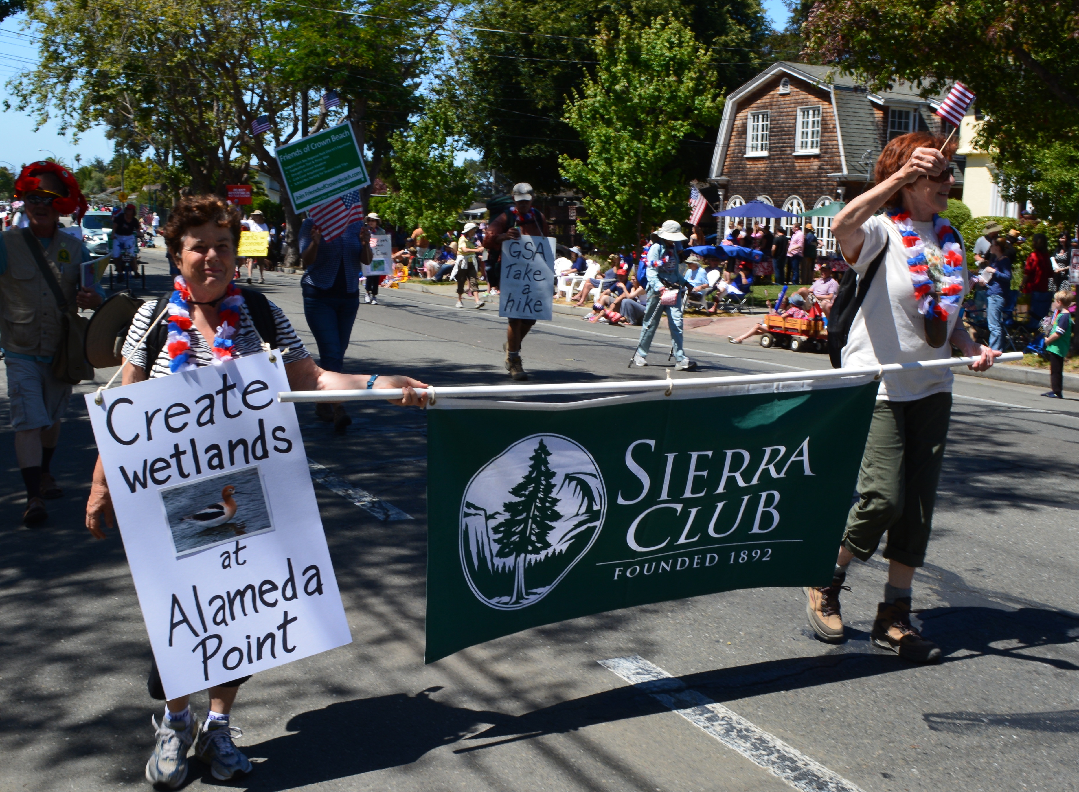
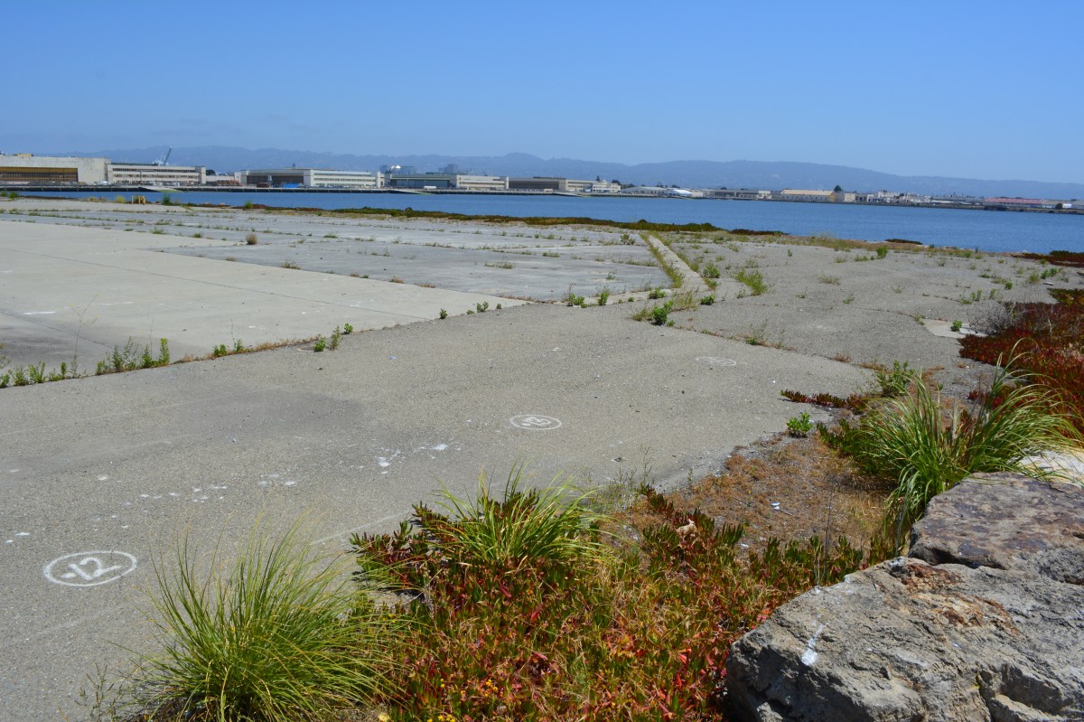
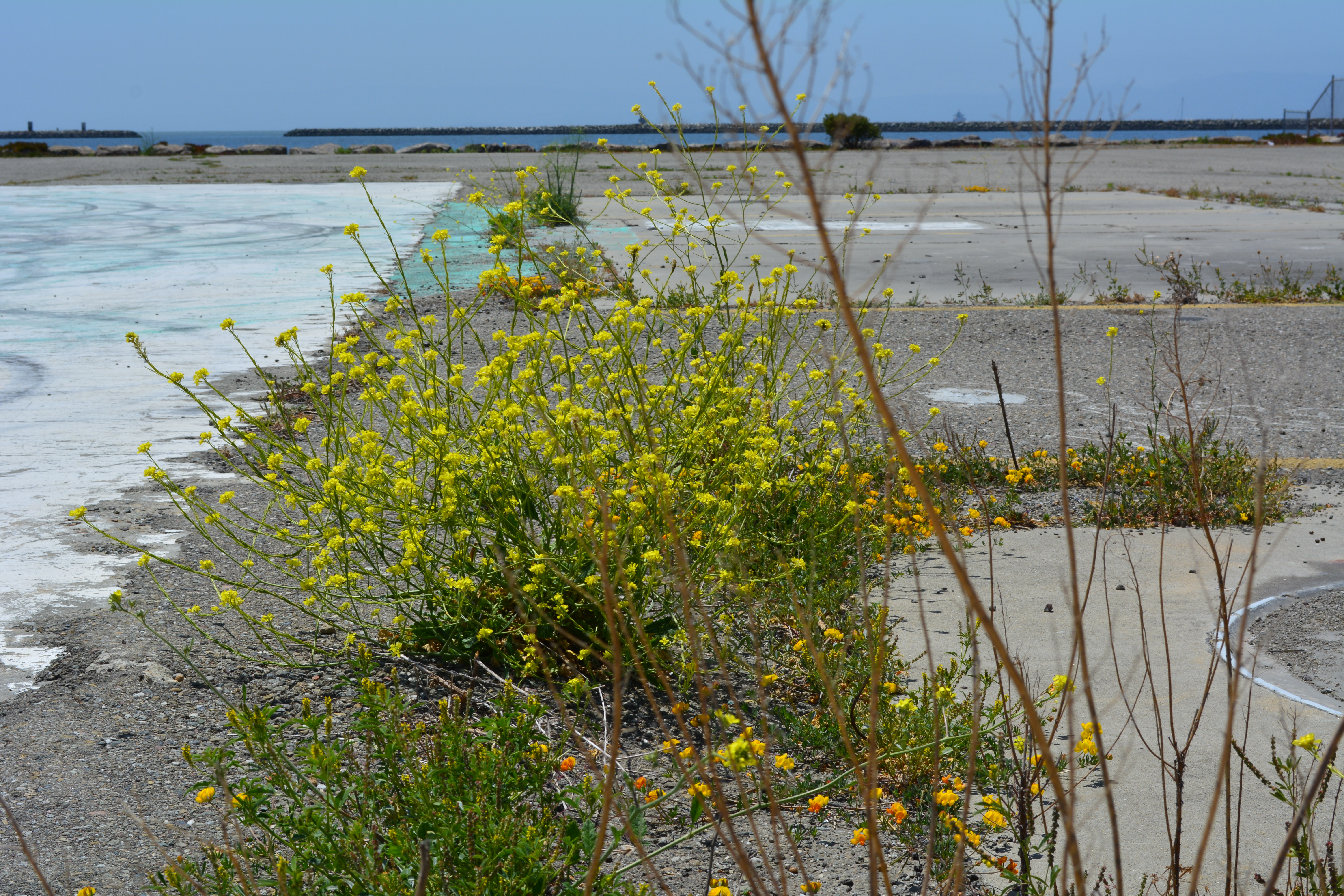
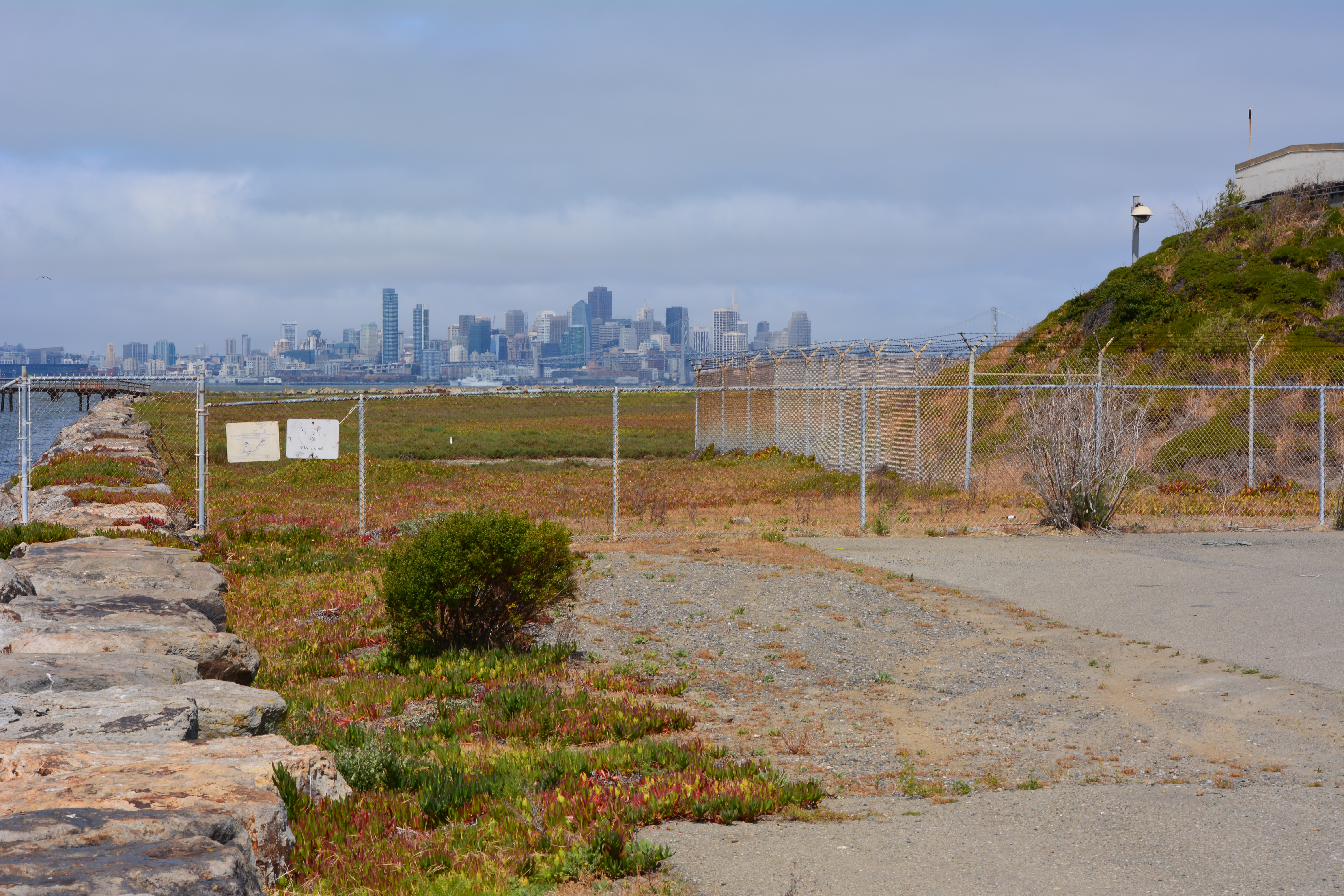
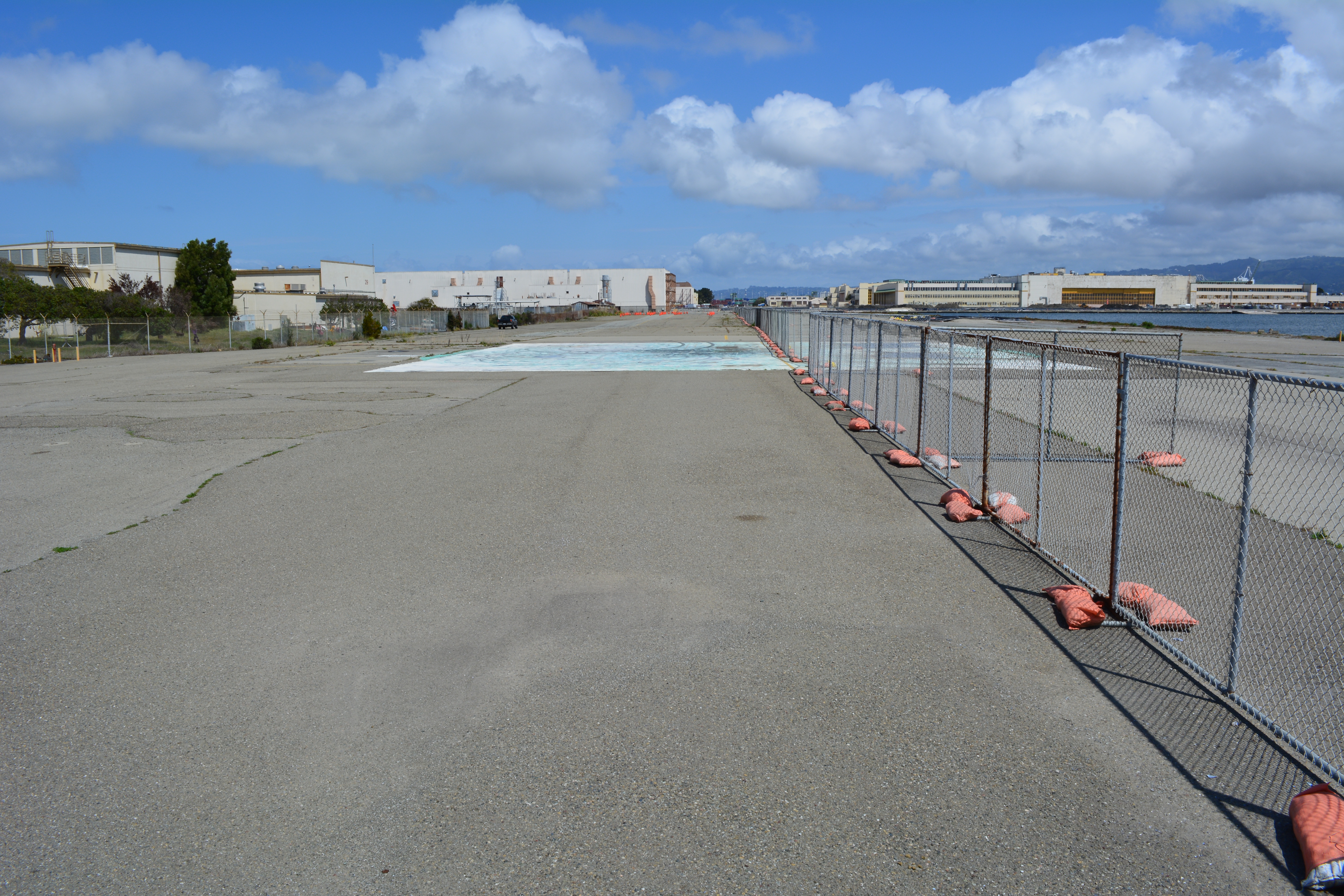
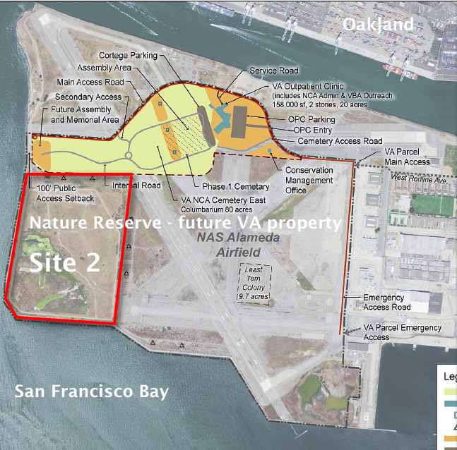
At the far northwestern corner of the Point, work is about to begin on another long studied and analyzed waste disposal site. In a few months, the Navy will be installing an interlocking steel retaining wall along 200 yards of the Bay shoreline to contain contaminated burned waste material that was bulldozed into the Bay more than a half century ago. Water dye tests showed no toxics are leaching into the Bay, but members of the Restoration Advisory Board (RAB) questioned whether the barrier would withstand a catastrophic earthquake. Partially covered by runway pavement, the entire 30-acre site will receive a three-foot soil cover. The work is expected to be completed in 2015. The area will be available for passive recreational use such as hiking trails when the city receives the land.
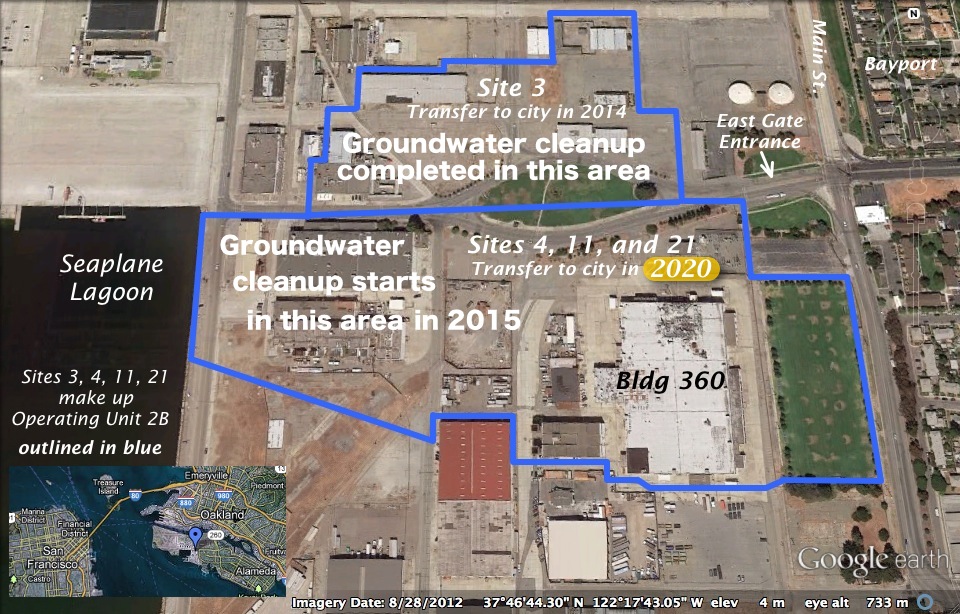
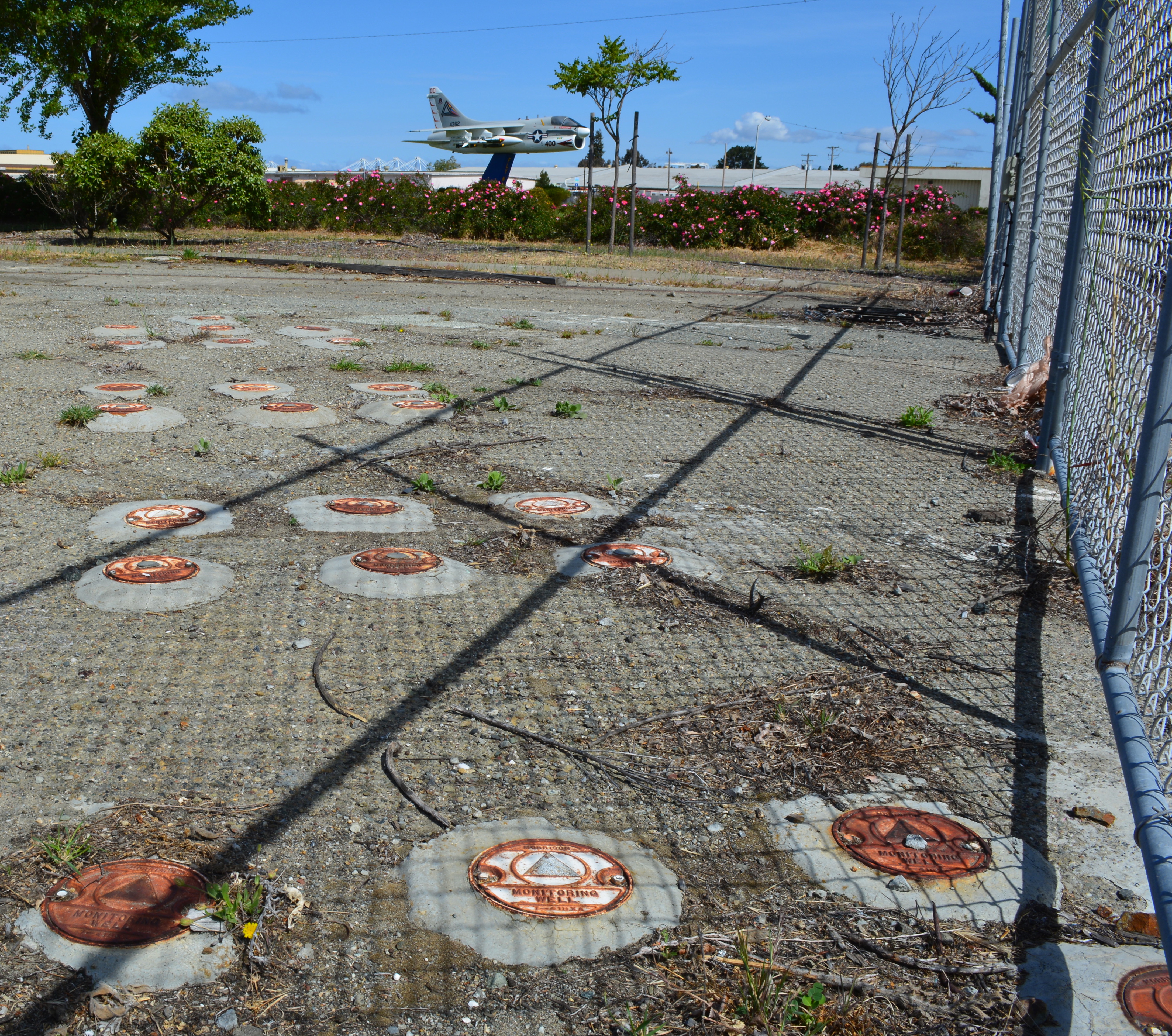
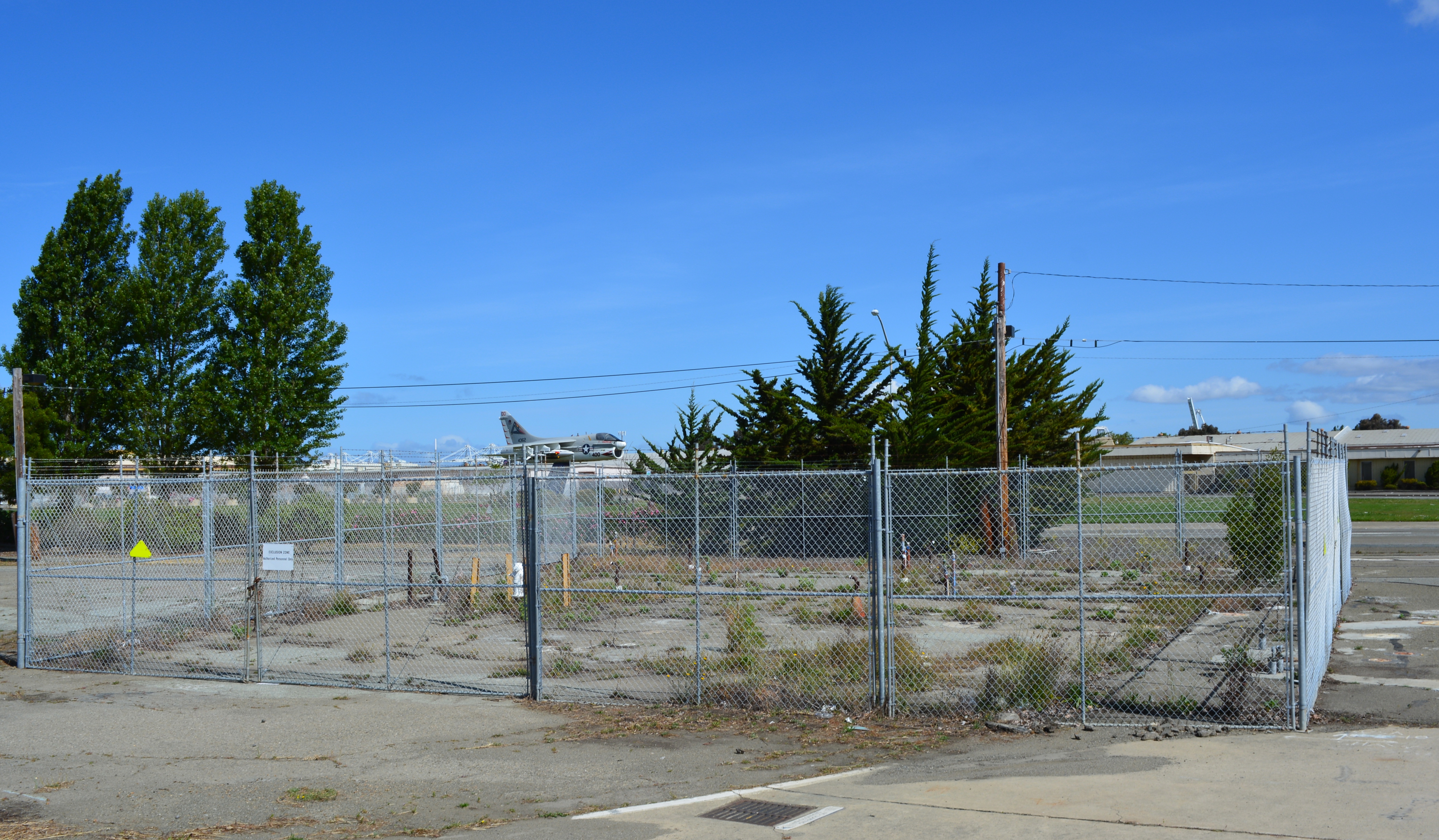
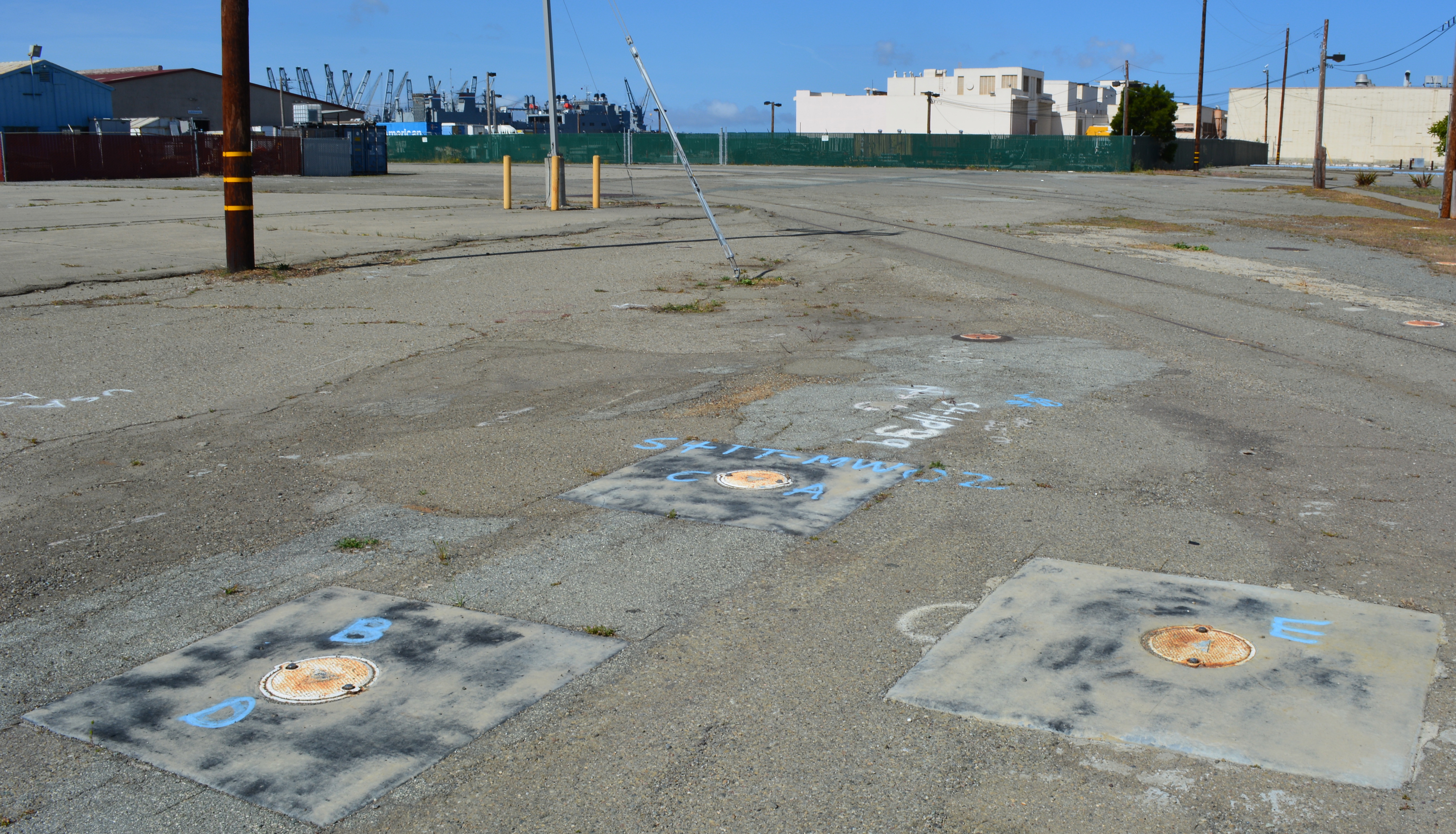
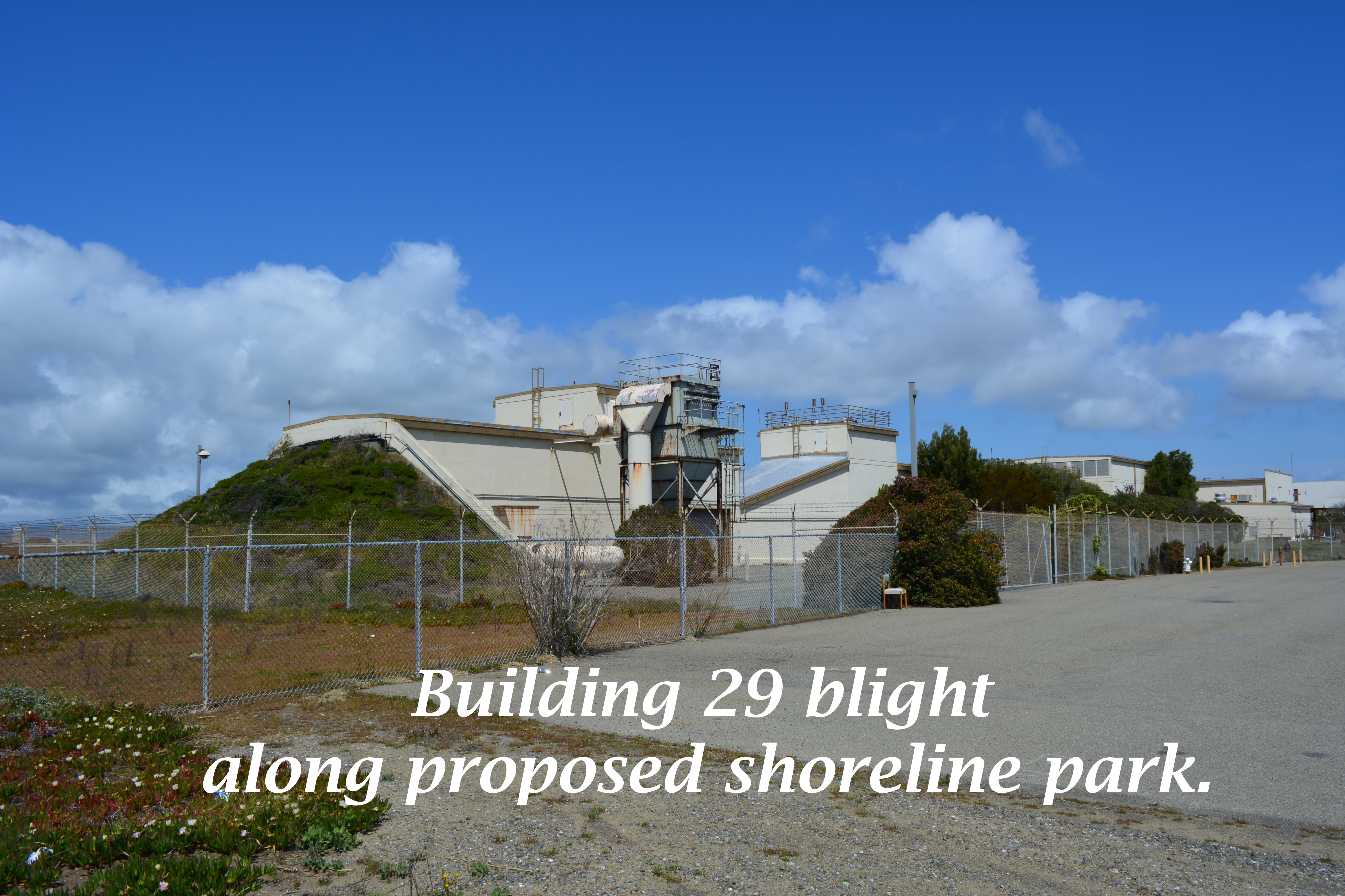
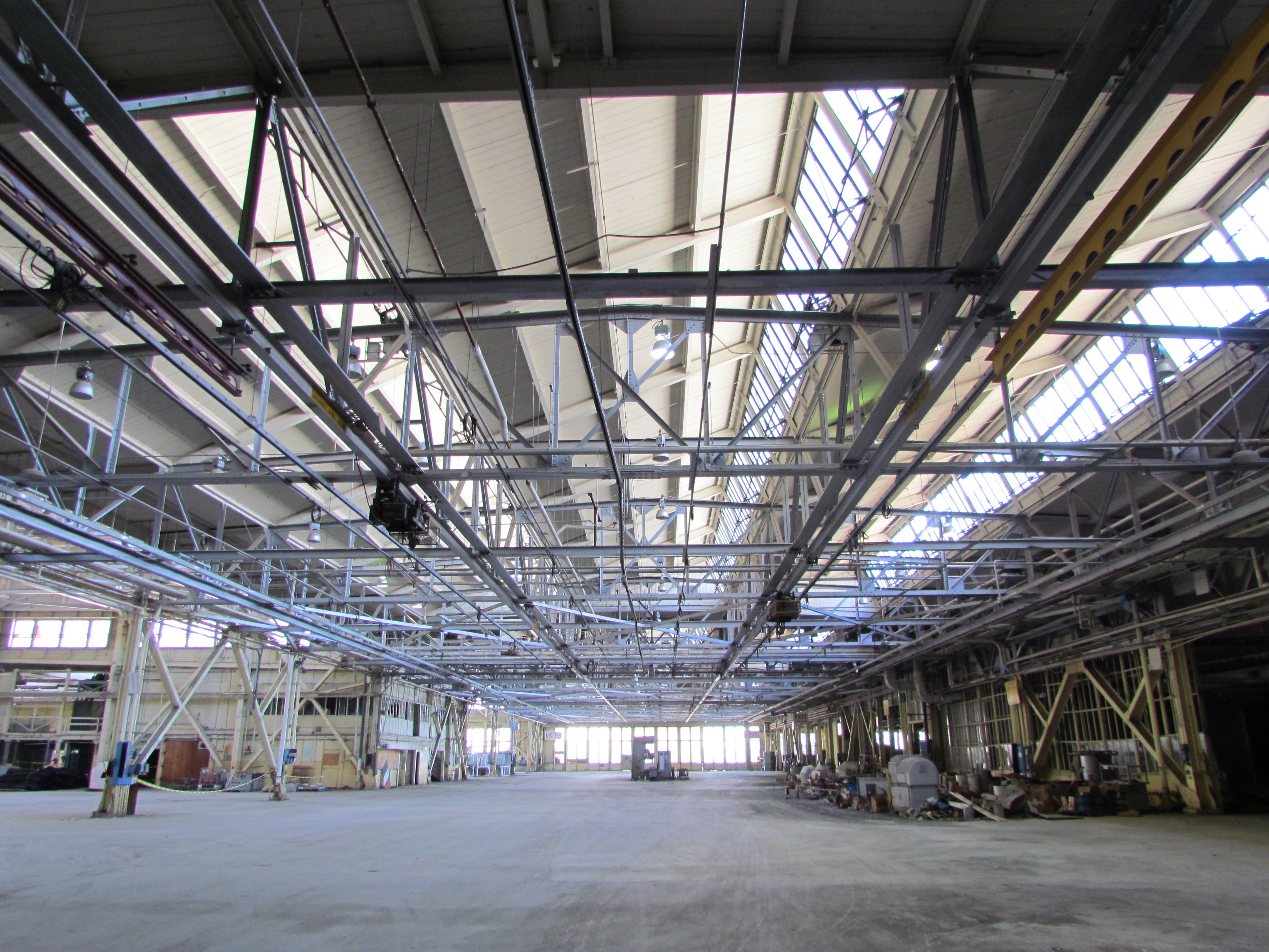
One of the longest-running and most problematic cleanup sites is at the old Naval Air Rework Facility (NARF), also known as Building 5, covering nearly one million square feet. Radium paint used for aircraft dial painting, and chemicals associated with engine repair work led to contamination that is still being remediated. The entire floor area will be scanned again for radiation in 2015, following up on at least three prior scanning surveys of walls, ceilings, pipes, and ducts. The year 2015 will also see the Navy returning to the site for a final round of groundwater cleanup treatments targeting contamination remaining after an intensive cleanup effort a decade ago.
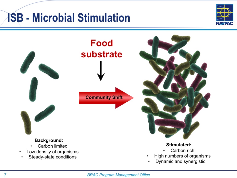
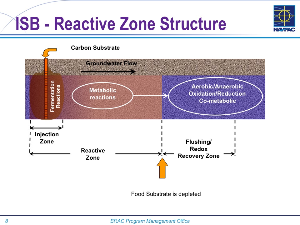
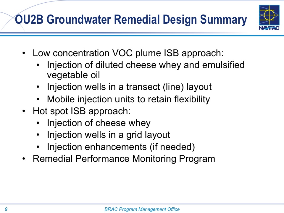
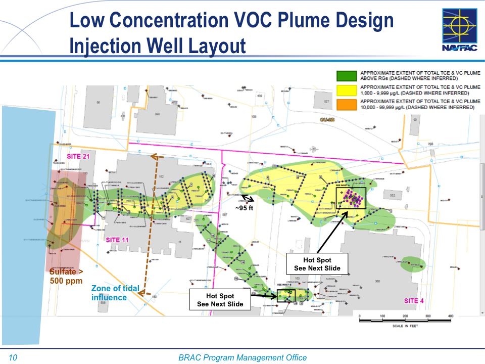
Next door to the Bladium Sports Club on West Tower Avenue, another previously treated groundwater cleanup site will be treated again. Workers have already begun boring holes in the pavement for a network of hoses that will be used for introducing contaminant-eating bacteria into groundwater along with a bacteria food source.
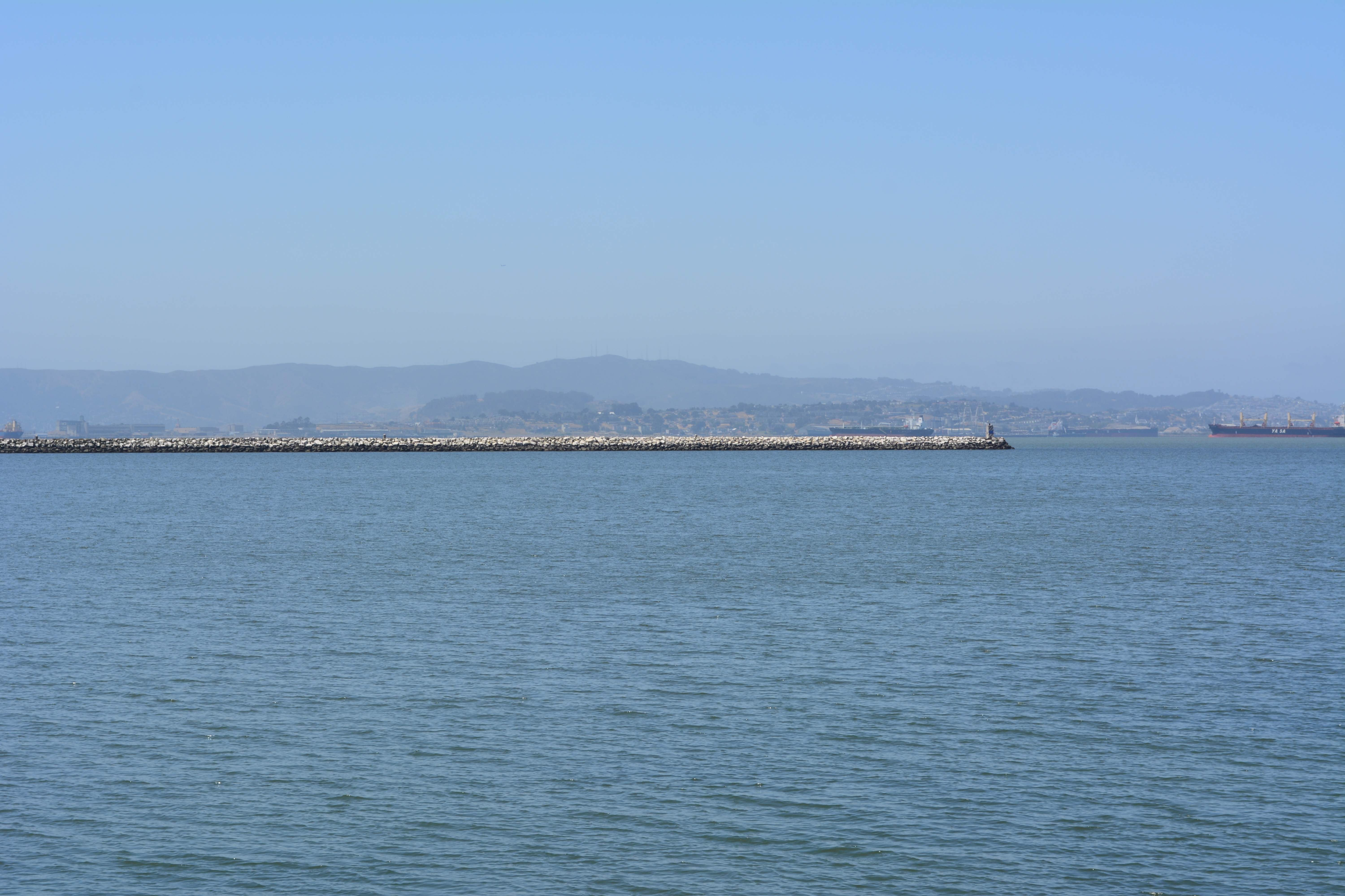
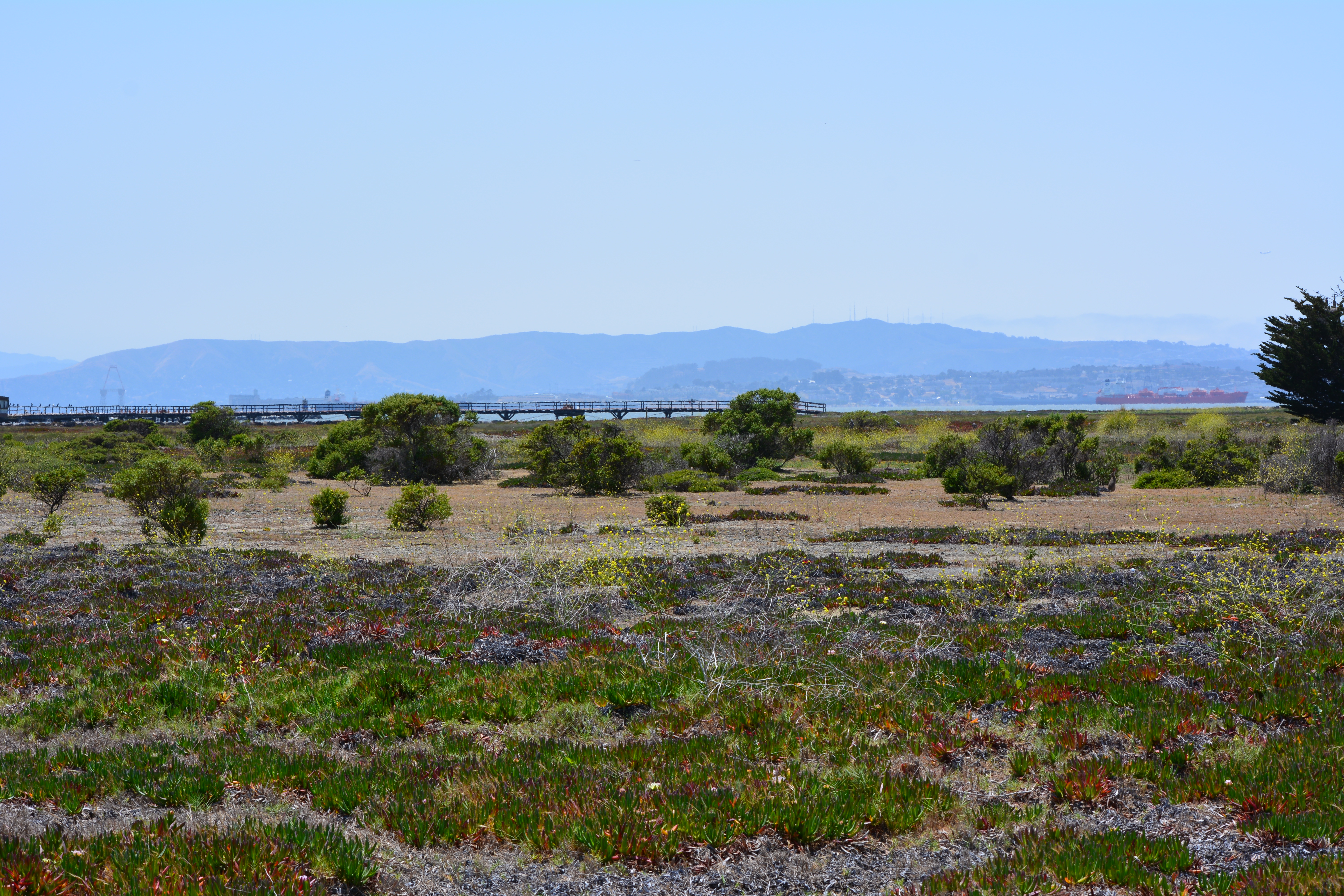
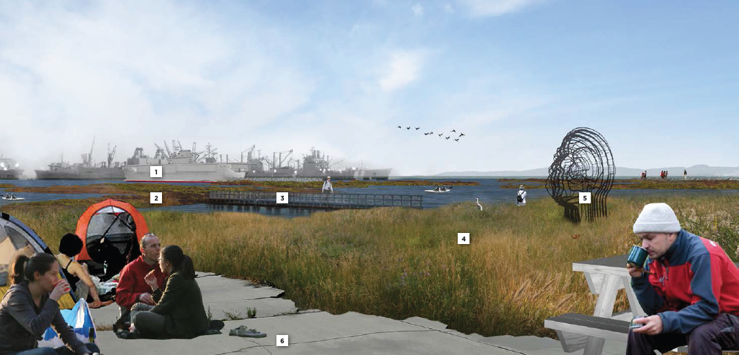
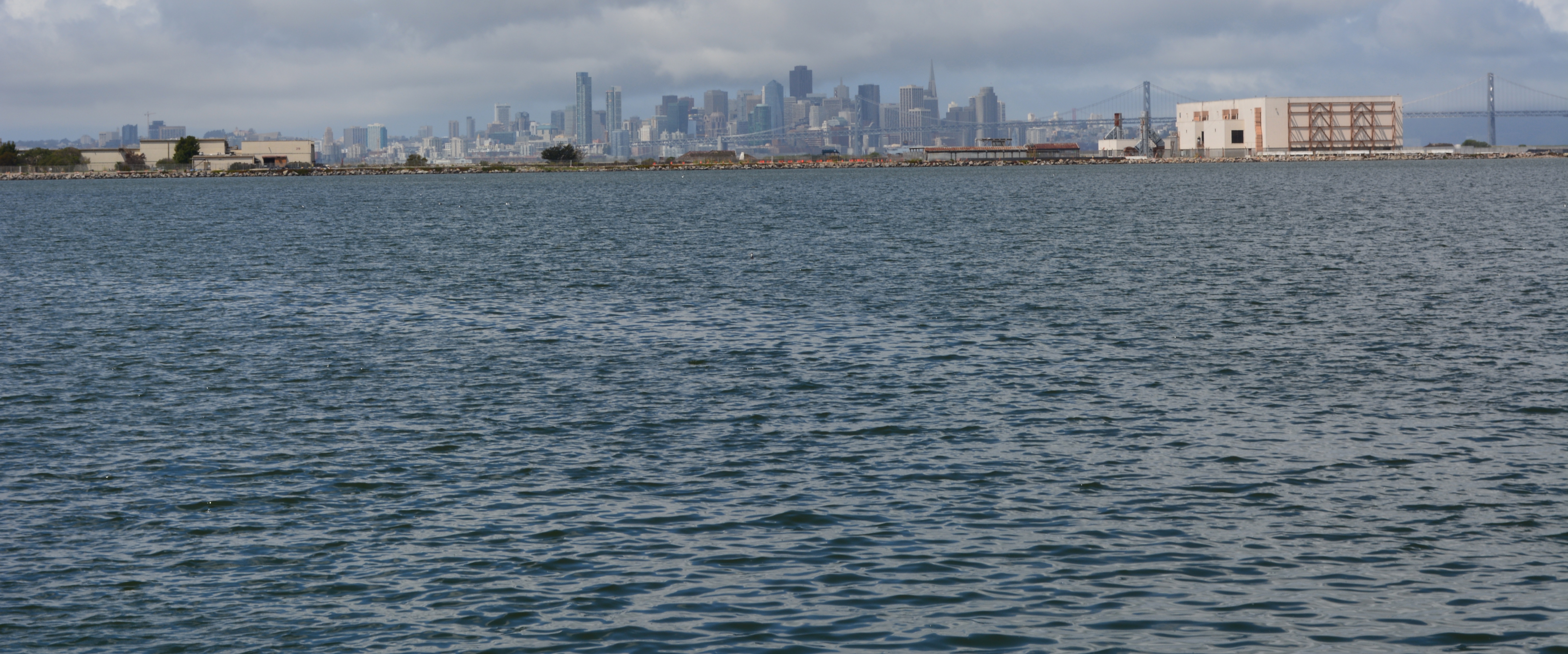
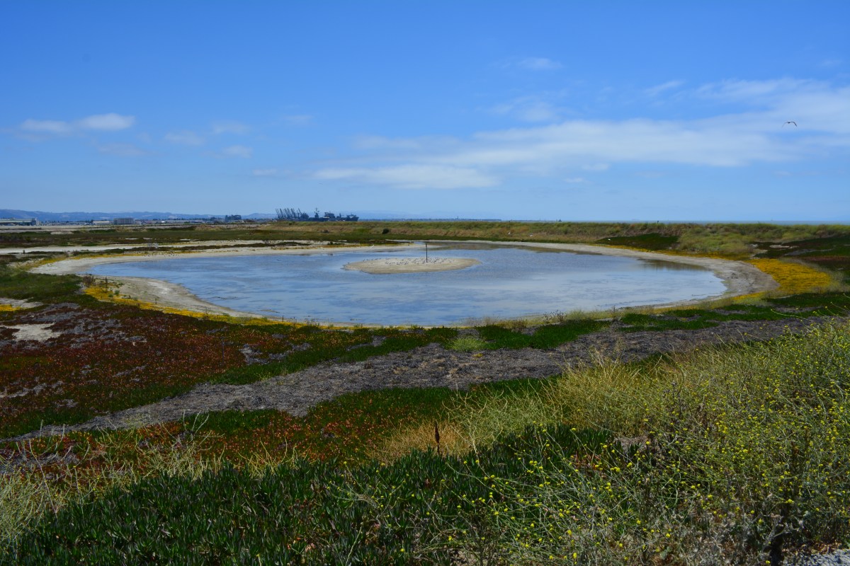
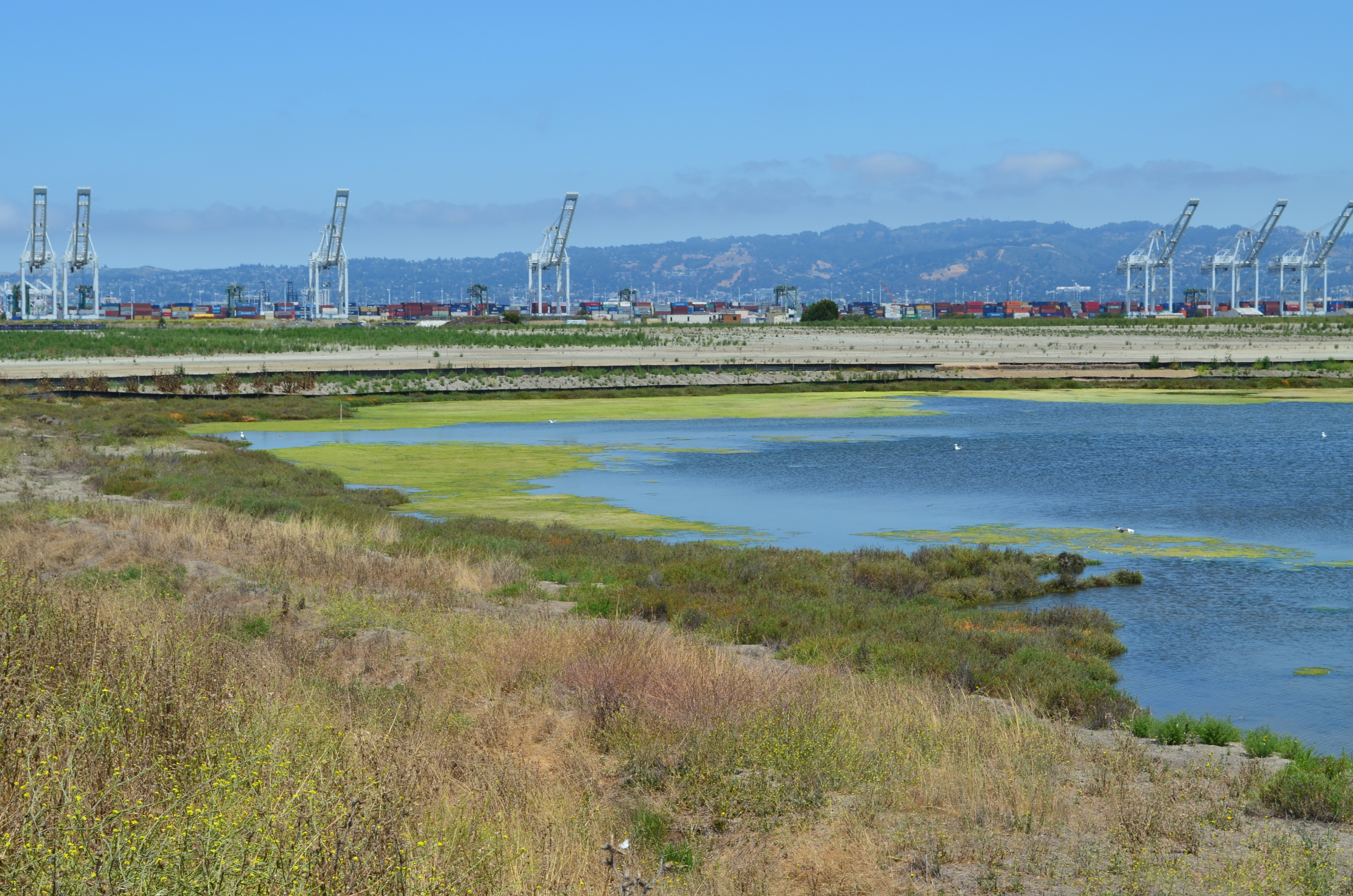
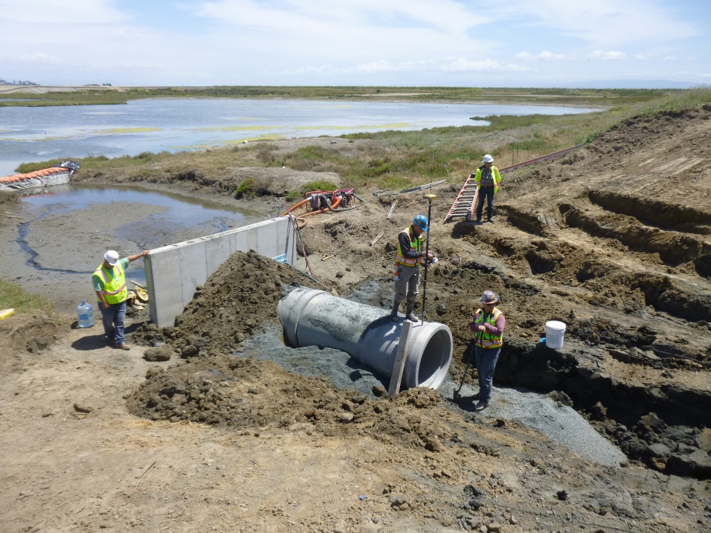
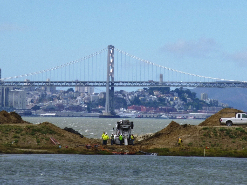
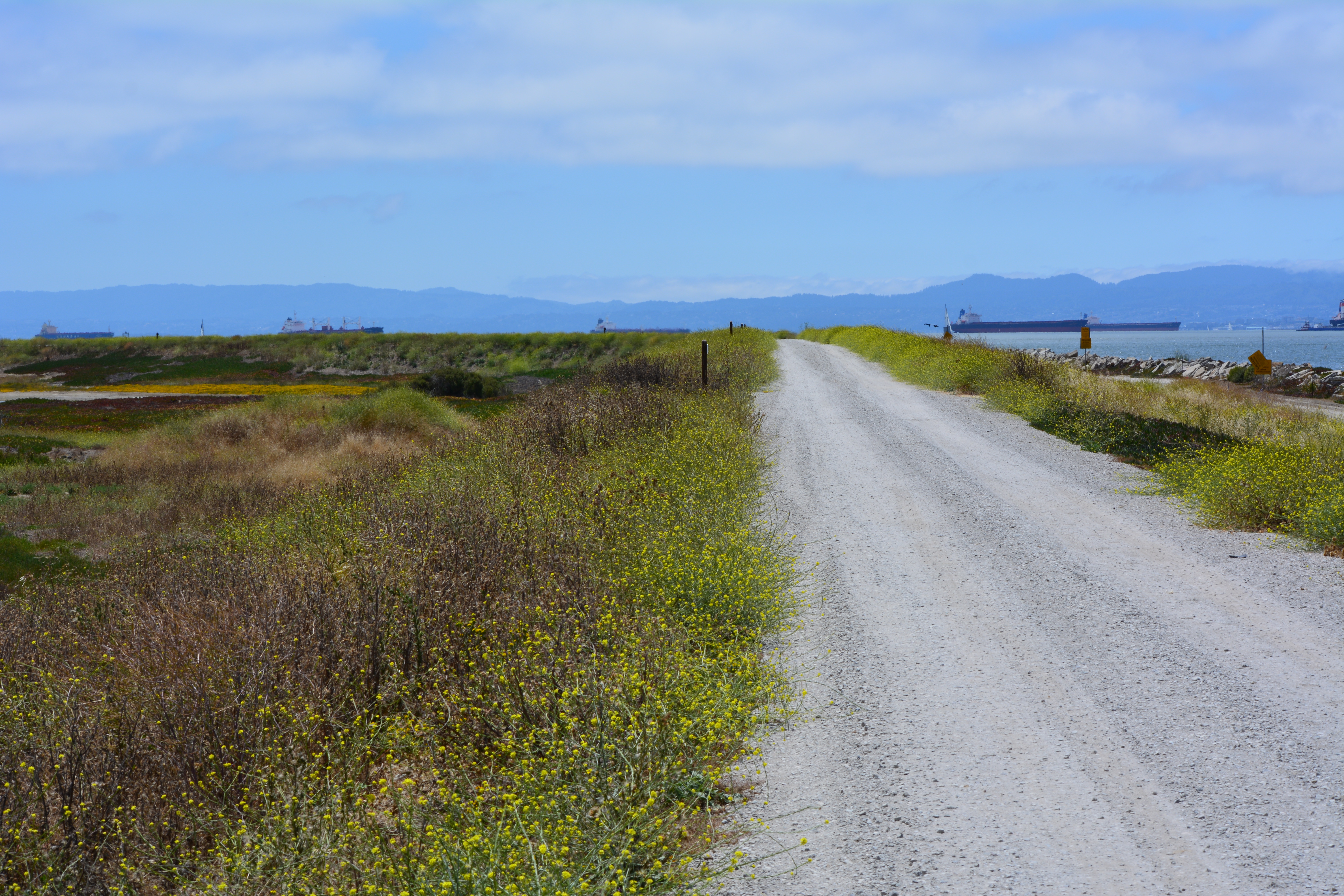
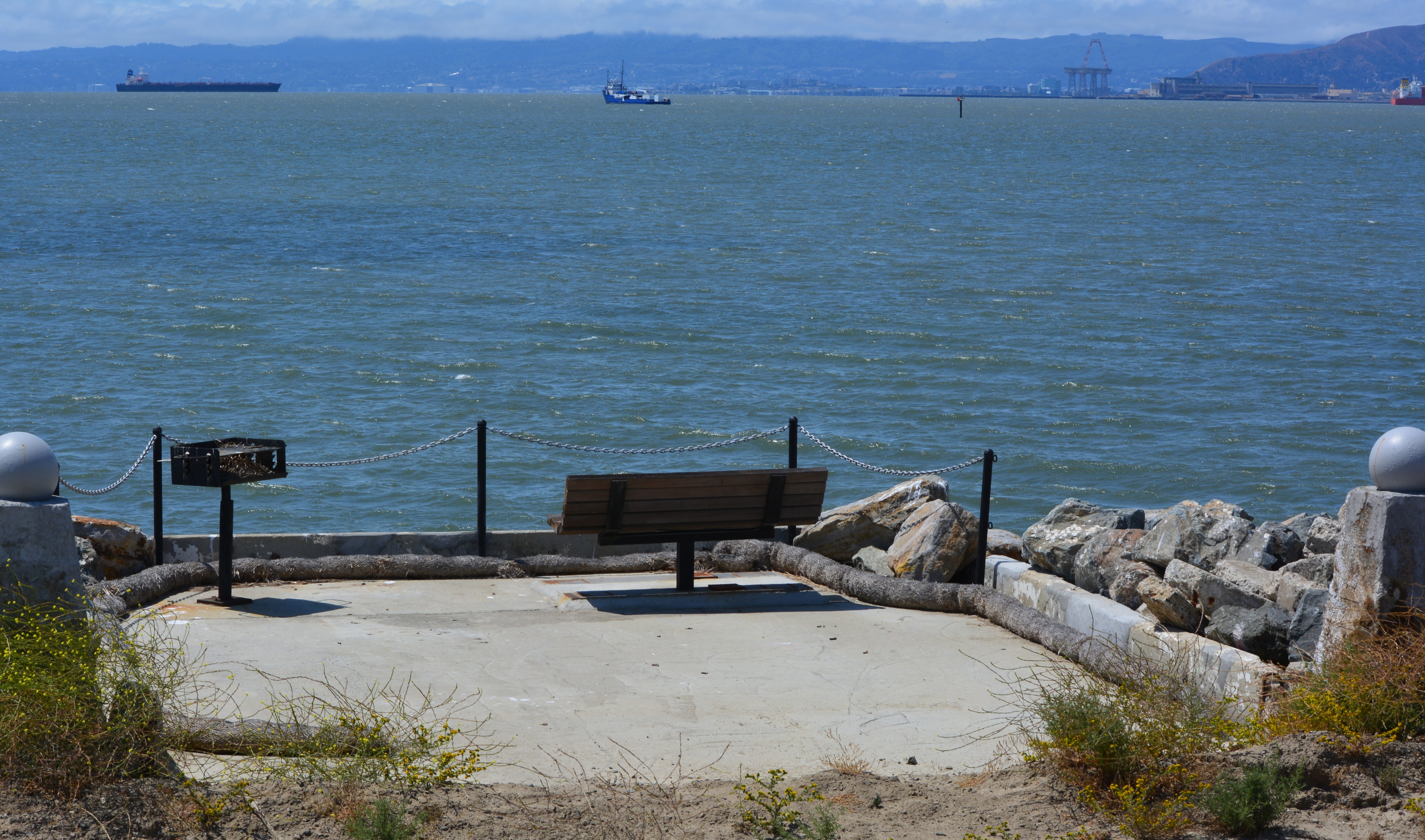
On Saturday, July 12, the Navy’s annual cleanup site tour visited four of the cleanup areas. The most impressive stop was the 110-acre landfill site mentioned above. For the first time in over 15 years, members of the public were allowed to walk around and enjoy the magnificent views from the embankment that is closer to San Francisco than to city hall. The fencing is all gone, and with it the radiological warning signs. The Navy replaced an aging metal culvert that connects the site’s North Pond to San Francisco Bay with a concrete culvert.
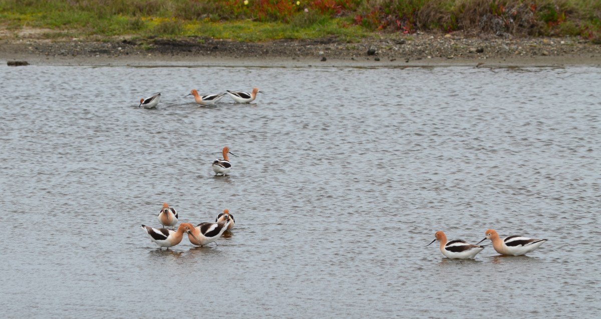
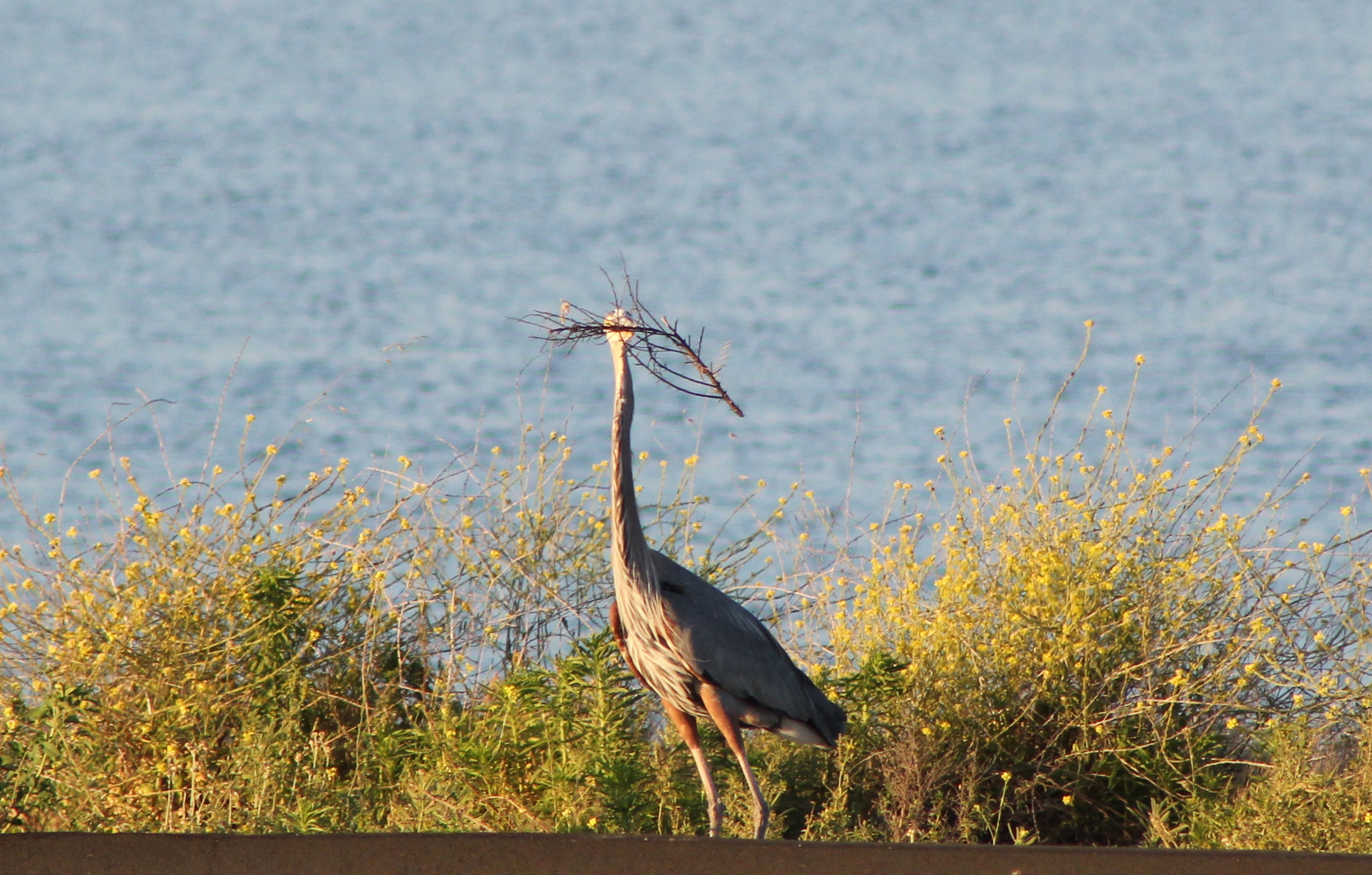
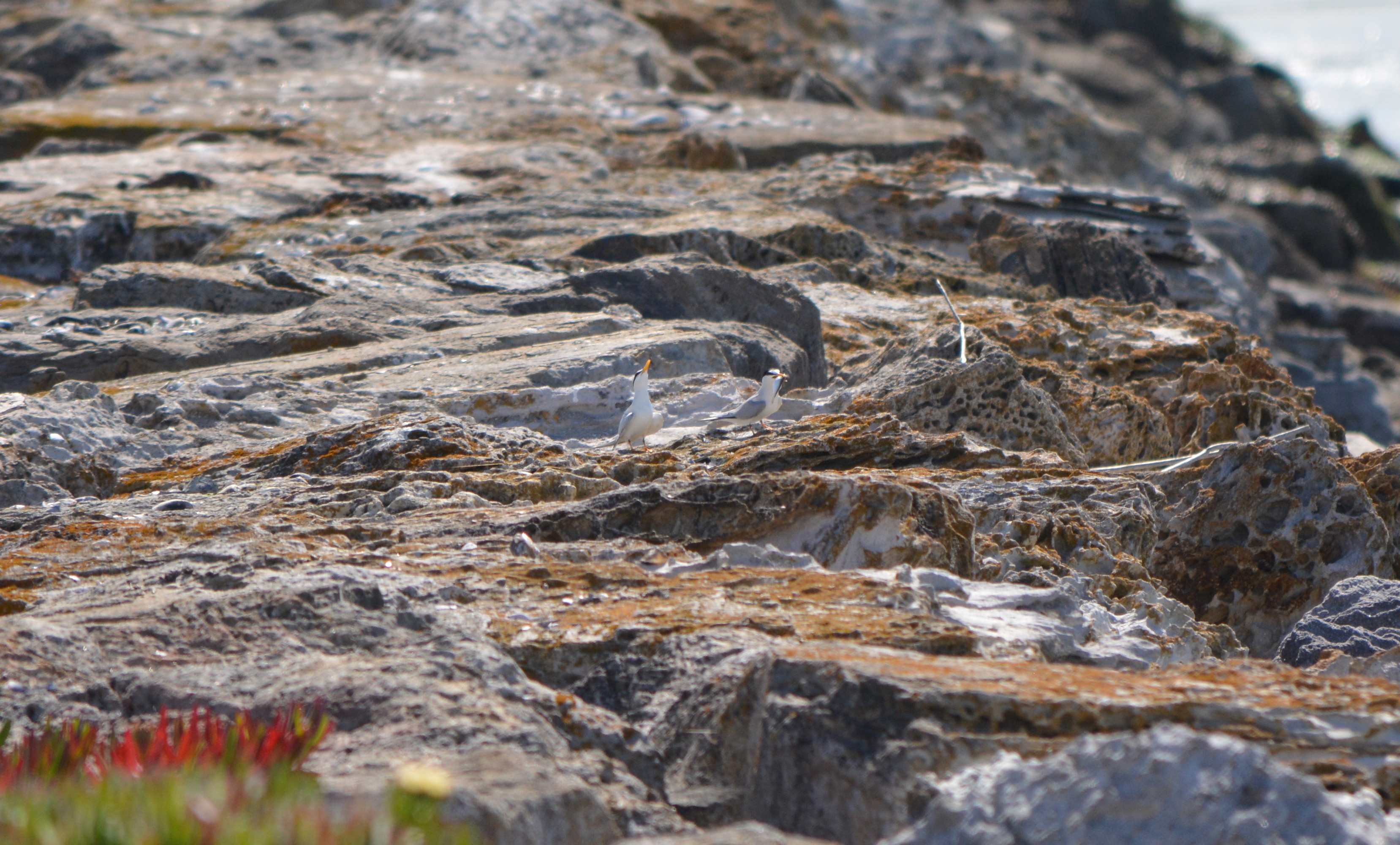
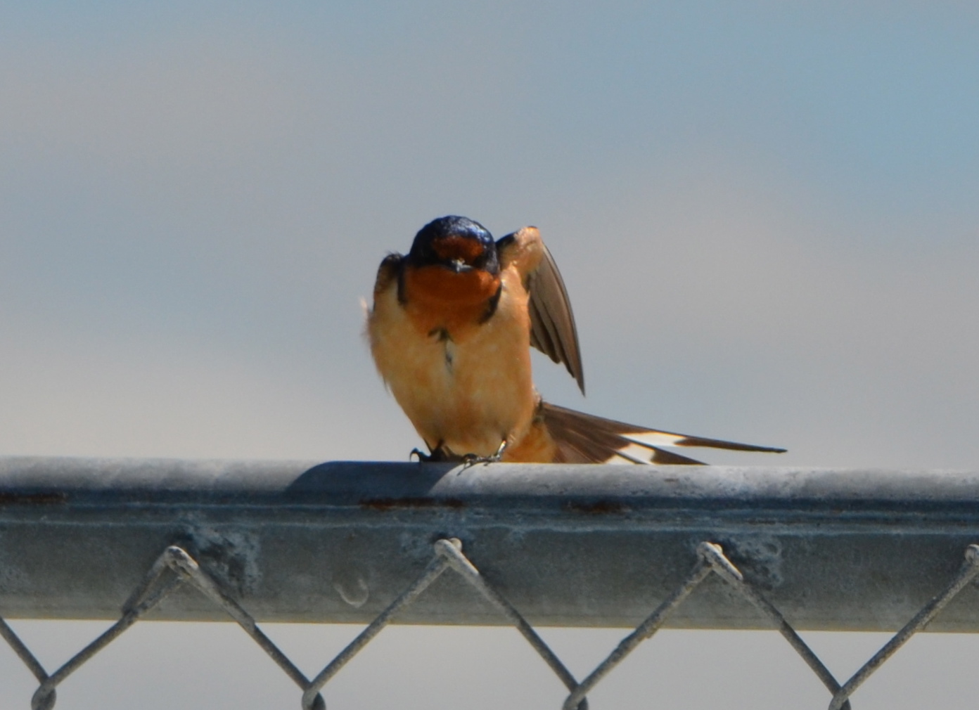
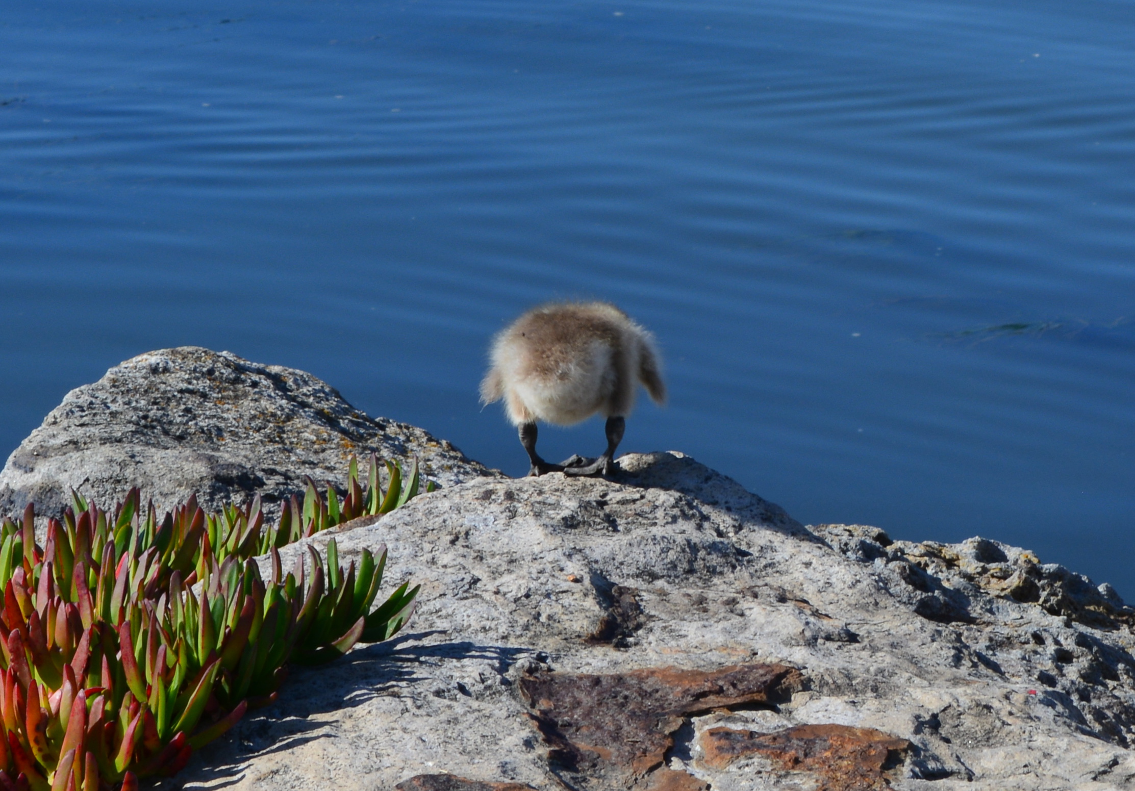
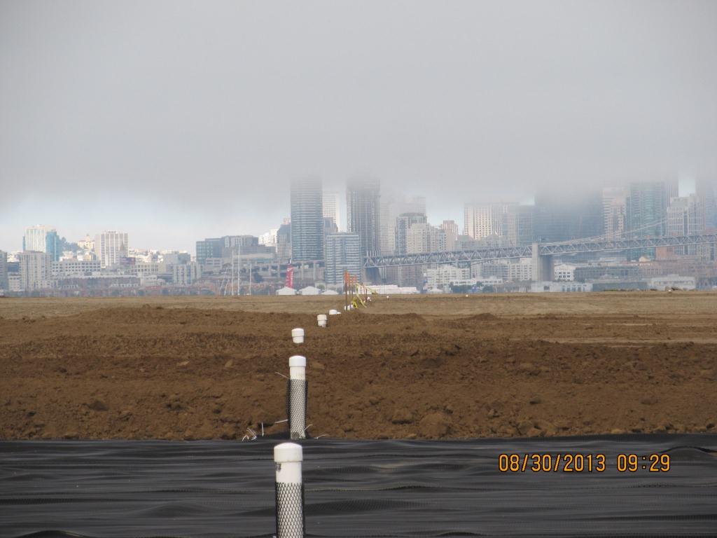
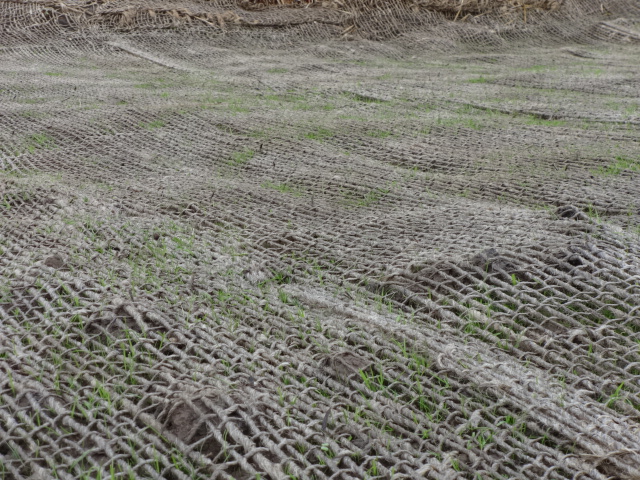
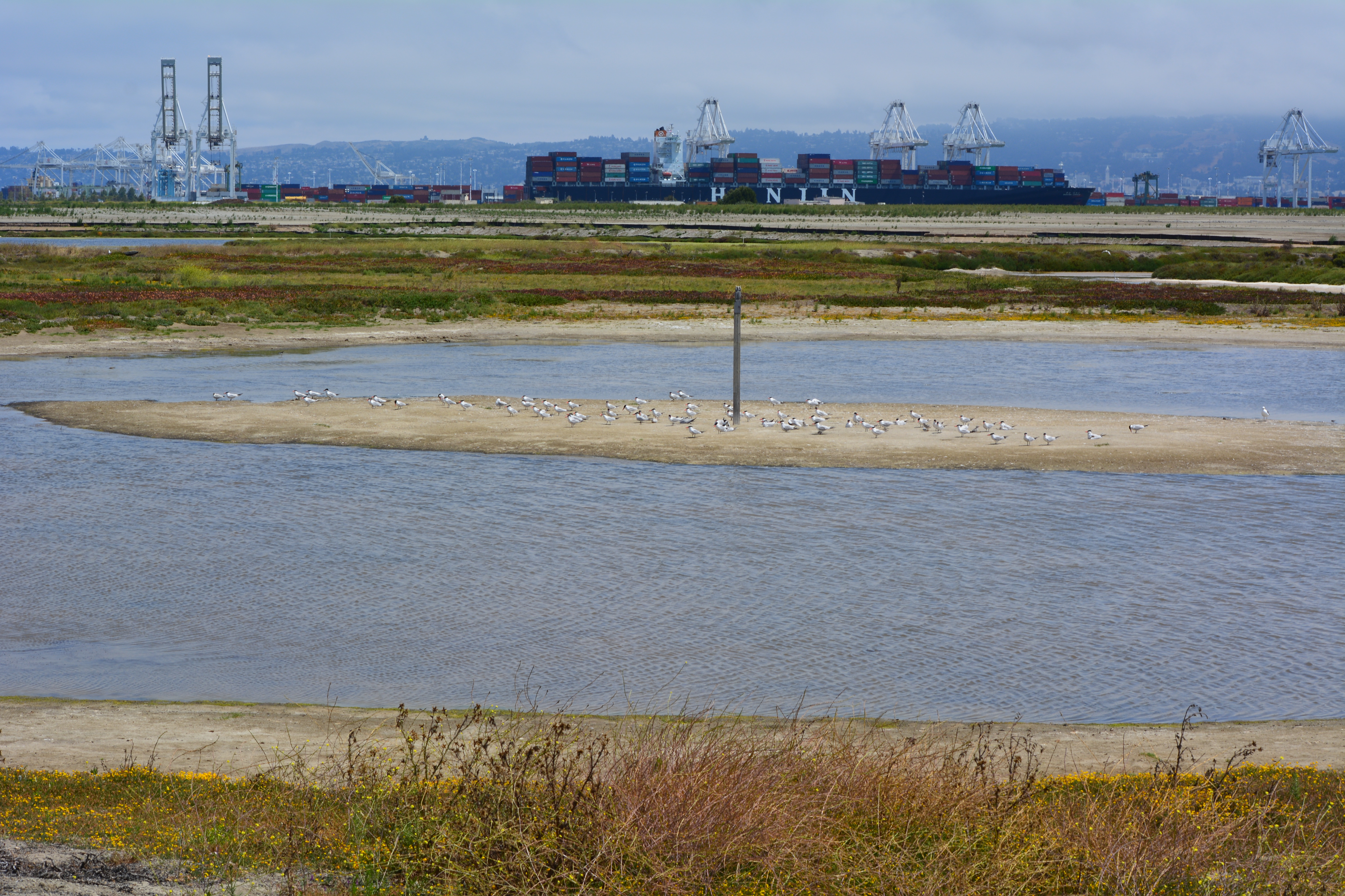
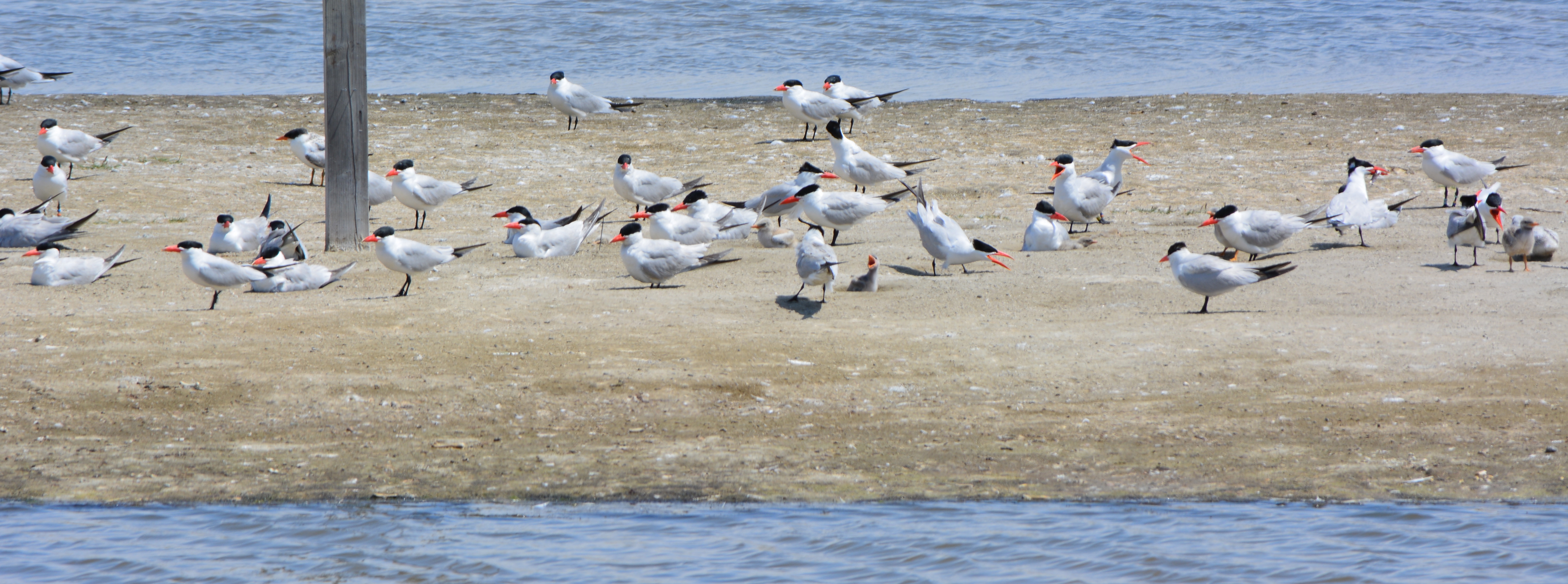
Tour participants were able to see the area’s expanded wetland with a new tiny island. Caspian Terns started nesting on the island a few months ago, another type of milestone. “The last time Caspian Terns were seen in that area nesting was in 1999 when only one nest was detected,” said Alameda wildlife biologist and Alameda Point bird surveyor Leora Feeney. The 79-acre soil cover on the landfill will be seeded with flowering native grasses later this year. The vegetation mix was chosen by the RAB.
According to the Navy’s environmental cleanup coordinator, Derek Robinson, $513 million has been appropriated to date for Alameda Point cleanup, although some of it remains to be spent on upcoming work. His office, the Base Realignment and Closure Program, estimates another $80 million will be needed by the time remaining projects and follow-up monitoring are completed.
Later this year, the Navy is expected to transfer to the city the 33-acre North Housing site and seven-acre former Island High School site that sit next to Alameda Landing and Estuary Park, marking another milestone on the long and winding cleanup road to civilian use.
This story appeared in the Alameda Sun: Print edition front page and online edition.
Navy Environmental Tour Guide July 12, 2014 – Cleanup Fact Sheets
Navy Presentation Environmental Cleanup Program Review July 12, 2014 to Restoration Advisory Board
More photos and a map
Previous stories about waste disposal areas:
Scenic Alameda Point wildlife refuge section to be off limits with security fence (May 31, 2012)
Update notes: Subsequent criticism of the Navy as to the necessity of a security fence by members of the public and regulatory agencies led to the removal of the security fence from the final work plan design. The Navy also agreed to shorten the soil gas vents to two feet, since only trace amounts of methane gas are now emitted from the landfill waste, most of which is industrial and did not produce methane in the first place. Additionally, the Navy agreed to examine the aging metal culvert that connects the North Pond of the West Wetland to San Francisco Bay. The culvert provides the water lifeline for the North Pond habitat and was at risk of collapse and being stopped up with debris. The Navy replaced the metal culvert with a concrete culvert (see photo above) and debris screen.
Navy receives comments on landfill/wetlands plans on Alameda Point wildlife refuge (July 15, 2012)
Ending threat of solvents in groundwater leaching into San Francisco Bay (August 31, 2012)
Cleanup plan changes at waste burning area (April 5, 2013)
Landscaping the Navy’s underground waste disposal site (June 4, 2013)
Massive landscaping project changing scenic area on Nature Reserve (August 5, 2013)
Landfill landscaping on Nature Reserve – Update October 2013 (October 26, 2013)