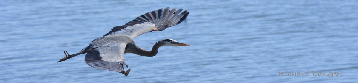
The wetlands and grasslands on the airfield at Alameda Point are looking alive with flowers and wildlife after a boost from heavy rainfall in April and temperatures in the high 70s.
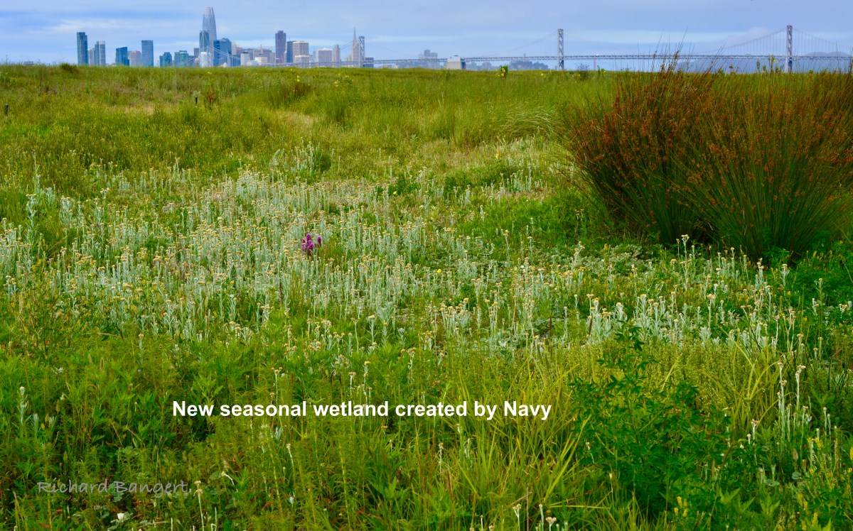
A seasonal wetland next to the shoreline, created by the Navy in 2016 as mitigation for covering a nearby wetland, is finally reaching maturity with a rich and colorful palette of vegetation. This comes after years of failed attempts at growing new vegetation through seeding alone, mainly due to recurring drought conditions. This led to the Navy installing an irrigation system connected to a fire hydrant in 2022 and hand planting about 9,000 nursery-grown plugs, followed by three rounds of seeding in 2023.
Continue reading “Wetland Project Takes Hold on Alameda Point Airfield – Photo essay”