Around 50 people took part in the first city-sponsored tour across the old naval airfield to the western shoreline of San Francisco Bay on Monday, Oct. 26.
The convoy of automobiles stopped near the future site of the Department of Veterans Affairs (VA) clinic and at the shoreline next to a restored 30-acre wetland site. The wetlands are located within the Navy’s 100-acre cleanup site known as Site 2.
Tour group at the western shoreline listening to Dr. Peter Russell explaining environmental cleanup work the Navy has completed at Site 2.
While Site 2 has been known for the past 18 years as a mysterious off-limits environmental cleanup site, most of the visitors on Monday’s tour seemed more interested in the area as a scenic viewing site.
Despite the sparse showing of birds on the wetland during the visit, the group appeared awed by the vast expanse of land, water and sky that surrounded them as they stood on the embankment overlooking the wetland and the Bay.
View of the trail on embankment, with tour group and Port of Oakland in the background. Wetlands are to the right. San Francisco Bay is to the left.
A future leg of the San Francisco Bay Trail will eventually pass between the wetland and the shoreline, with views all the way to the Golden Gate Bridge on a clear day. The state’s Bay Conservation and Development Commission requires the VA, via its shoreline authority, to grant an easement to the city for construction and operation of the trail. No date has been set for when this process will begin.
During the stop near to the future VA clinic site, Jennifer Ott, the city’s chief operating officer for Alameda Point, informed the group about the public roadway, including underground utilities, that the VA is going construct leading to the western shoreline. The roadway will provide public access and utility hook-ups for city-owned open space property along the Oakland Estuary. The group parked at the western shoreline where the future observation point and trail access parking lot will be located at the end of the road.
Tour group listening to Jennifer Ott explaining plans of the US Dept. of Veterans Affairs while stopped next to future clinic site. San Francisco skyline in the background.
The tour was arranged at the urging of Vice-Mayor Frank Matarrese. Also in attendance was Mayor Trish Spencer.
“The VA’s future home and the wetlands restoration area at Site 2 are key features of the old airfield surrounding the least tern nesting area,” said Matarrese. “It is absolutely important that people get a chance to see how these three assets work together in this huge tract of land.”
Another view from the stop next to the future VA clinic site. Small wetland in between runways can be seen in the background. VA is expected to enhance the wetland, which remains covered with water in the middle of the airfield despite a drought.
The Navy still retains some responsibilities at Site 2 — namely, for ensuring that the grassland vegetation on the landfill soil cover is successful.
Jennifer Ott answering questions at the western shoreline. This location is where the VA’s future road will end, with a small parking lot, benches, and access to the Bay Trail.
“Seeing the wetlands makes me want to accelerate our wetlands efforts on city property,” said Matarrese.
The annual tours to the least tern colony at Alameda Point were sold out again this year. Three groups totaling about 100 people listened to a presentation about the endangered birds before boarding a bus at the Crab Cove Visitors’ Center.
It is the only time that the general public is permitted to enter the federally owned former aircraft runway area to view the terns nesting. Guests are not allowed to leave the bus.
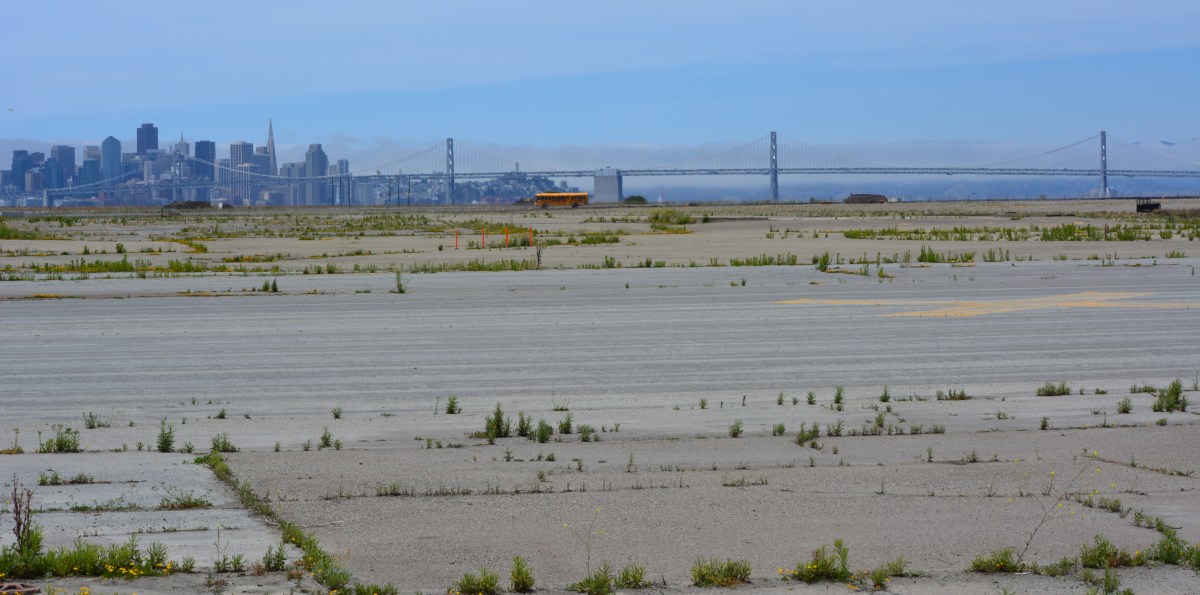
Least tern tour bus parked next to the nesting area on former Navy airfield. San Francisco is in the background.
This once-a-year glimpse of Alameda’s colony, managed by the U.S. Fish and Wildlife Service (USFWS), is very different from the daily opportunities to view the Huntington State Beach least tern colony near Los Angeles, managed by the California Department of Parks and Recreation.
The 9.6-acre Alameda Point least tern nesting site has a 500-acre buffer zone. During the nesting season, volunteers monitor and record tern behavior and threats from predators, such as hawks and falcons, while sitting in their vehicles.
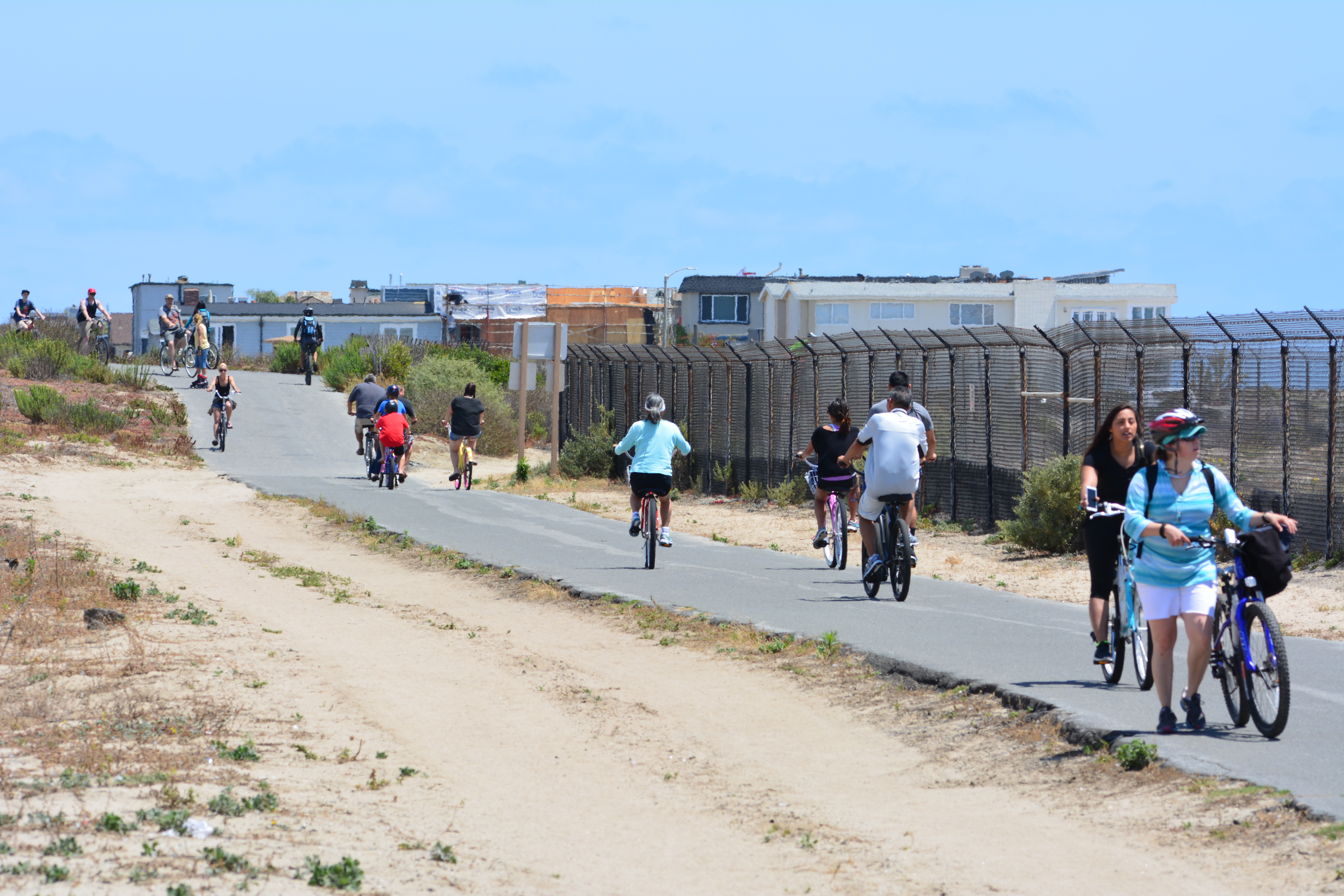
The 13-acre Huntington State Beach Least Tern Natural Preserve is protected by a 15-foot buffer zone on three sides. The Huntington Beach Bike Trail hugs the fourth side of the colony, with the busy Pacific Coast Highway only 40 feet away.
Huntington Beach Bike Trail. Least tern preserve is on the right. Pacific Coast Highway is about 20 feet to the left and out of view. City of Newport Beach is in the background.
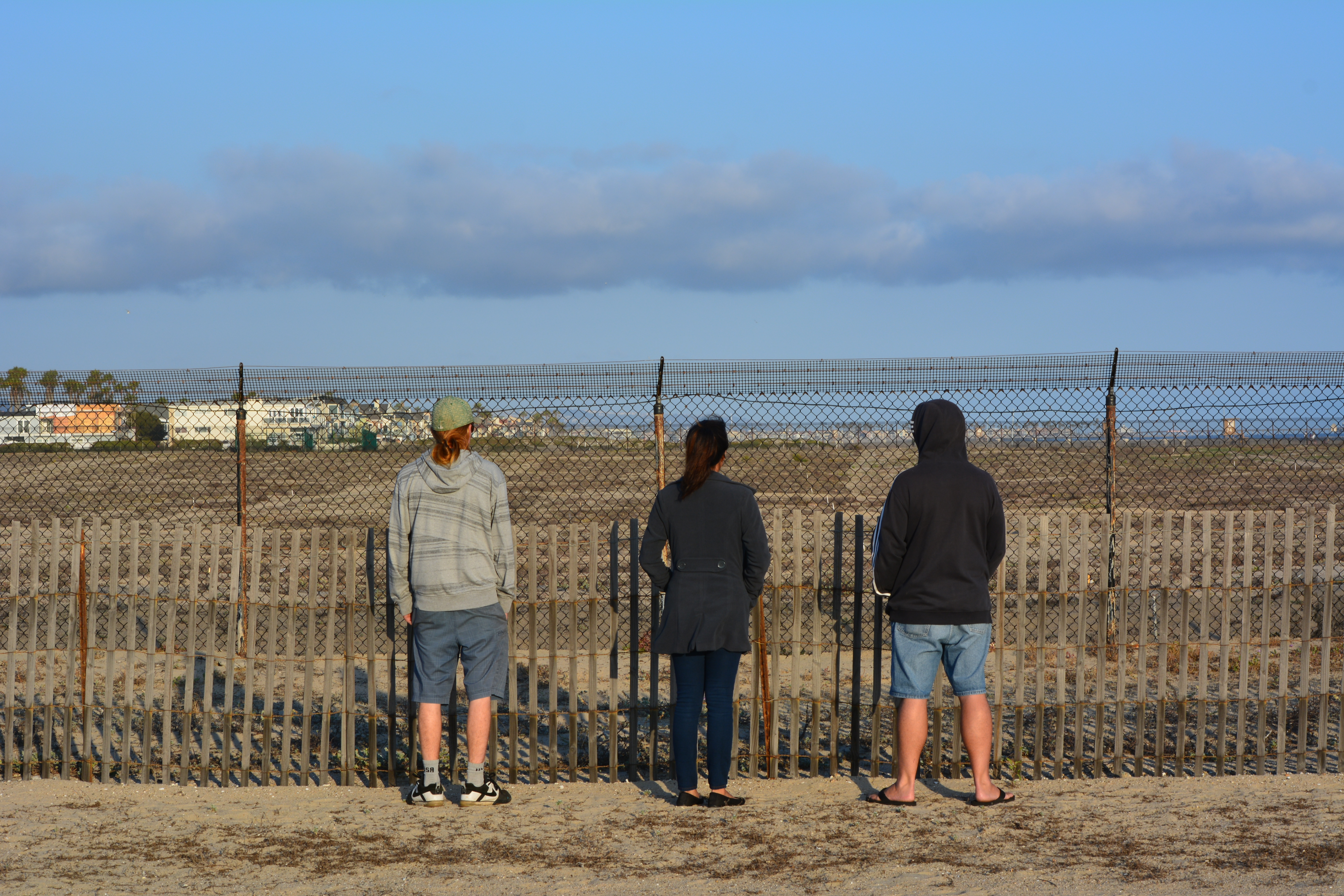
At Huntington State Beach, docents amble around to educate visitors about natural history and conservation while recording observations about predators. Over the recent Memorial Day weekend at Huntington Beach, people casting fishing lines into the ocean, throwing Frisbees, and laying on blankets were often not more than 30 feet from adult least terns loafing and sometimes mating on the beach.
Visitors to Huntington Beach viewing the least tern nesting activity on Memorial Day weekend 2015.
During the non-nesting season in Alameda, volunteers remove weeds by hand, and pick up terracotta tiles, wooden A-frames, and oyster shells used for sheltering the chicks, and then re-distribute them in April before the terns arrive. USFWS sprays an herbicide before the terns arrive to minimize vegetation that sprouts up on the bed of imported sand. This is to help to maintain the look of a beach with good sight lines preferred by terns.
At the Huntington Beach Preserve, the state park department stopped using shelters. They, too, use an herbicide, but only for grasses. The low-growing flowering vegetation on this natural beach is allowed to remain and serves as camouflage for nesting adults and for the chicks when they hatch.
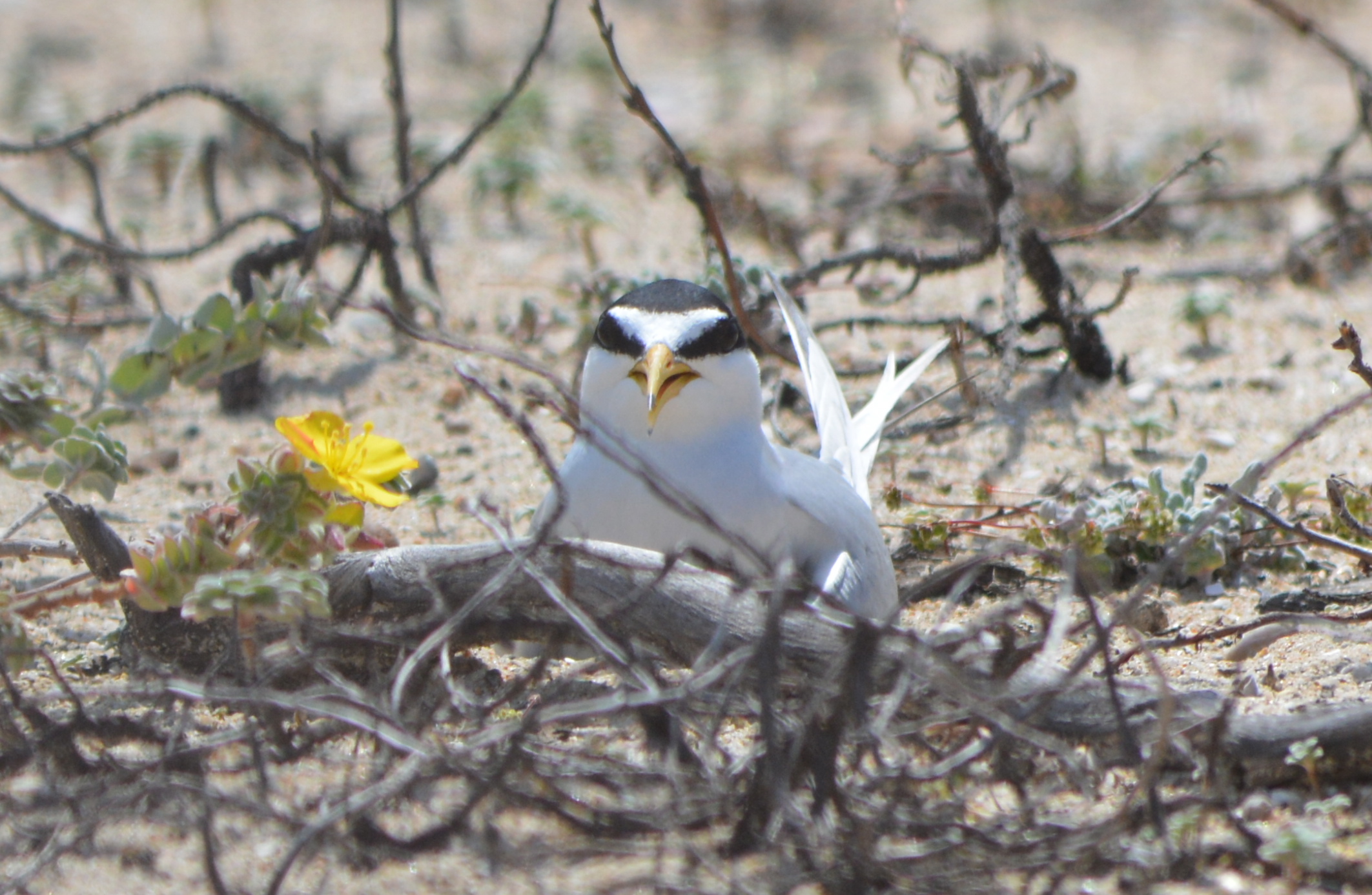
Least tern sitting on eggs at Huntington State Beach. The nest is simply a depression in the sand. The vegetation is not part of the nest.
At Huntington Beach, certified volunteers count the nests, eggs and chicks twice a week. They walk through the site inside of sand-colored canvas blinds held together with PVC pipe that they carry. At Alameda Point, the wildlife biologist does not employ the use of a blind.
The Huntington State Beach Least Tern Natural Preserve was established in 1973 as the first fully protected tern colony in California. This preserve implemented the central tenet of the USFWS-approved recovery plan for the least tern by providing a well-defined nesting site that is secure from casual disturbance, primarily by human recreational activity often accompanied by canine companions. The wisdom of this practice is illustrated at Alameda Point: No least terns have ever nested outside of their fence.
The two other determining factors in the breeding success of the terns are the presence of small fish in nearby waters, which can vary due to climate and current, and the presence of predators, which can vary by location. No scientific formula exists to prescribe how far away human activity must be for successful nesting of the terns.
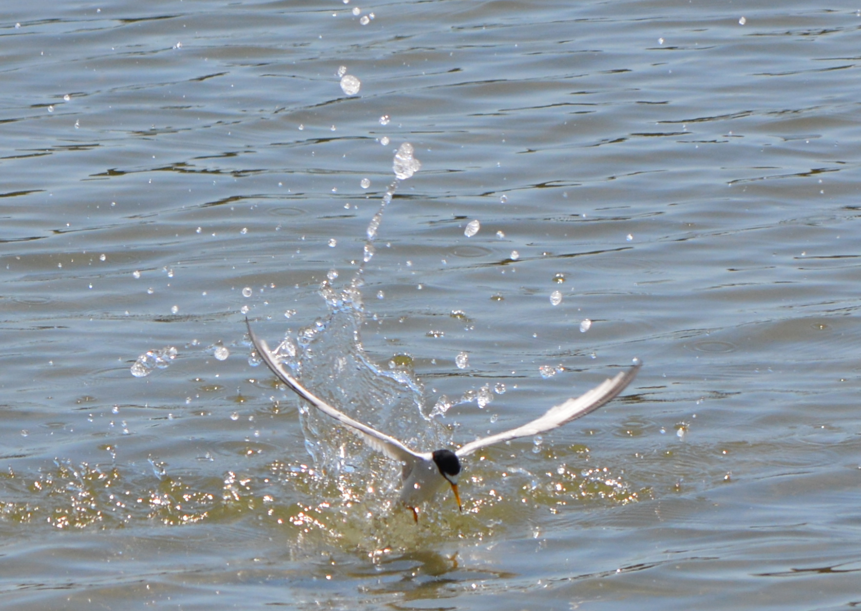
Least tern diving for fish in Alameda Point’s Seaplane Lagoon on June 7, 2015 during the nesting season. Dragon Boat races were occurring nearby.
This year, as of June 20, there were 500 nests at the Huntington Beach Preserve. Alameda Point had a count of 315. There are 27 sites in California that had 10 or more nesting pairs in 2014. Both Alameda Point and Huntington Beach typically rank in the top five. Huntington Beach least tern nesting news updates are posted on the Sea and Sage Audubon Society website. There are no published news updates or progress reports about Alameda Point least tern nesting activity.
The annual Alameda Point “Return of the Terns” tours happen every June.
Originally published in the Alameda Sun.
Huntington Beach photo gallery
Least Tern Preserve with lifeguard tower in the background on the beach.
Cyclists on Huntington Beach Bike Trail on Memorial Day weekend 2015.
Bike trail.
Huntington Beach Bike Trail at the bridge over the Talbert Channel.
Least tern on nest. Vegetation is not part of the nest.
Recording observations about the number of nests, eggs, and chicks.
Recording data in the nesting area.
Least terns on the beach.
Least tern male with fish in mating posture. On the beach outside of nesting area.
Talbert Channel, with Least Tern Preserve in background.
Huntington Beach, with Least Tern Preserve in background.
Santa Ana River. Newport Beach on the left, Huntington Beach on the right.
Side channel in Santa Ana River where the terns bath and hang ot.
Parking lot next to Least Tern Preserve. Bike trail runs between parking lot and tern preserve. Main beach area is to the right.
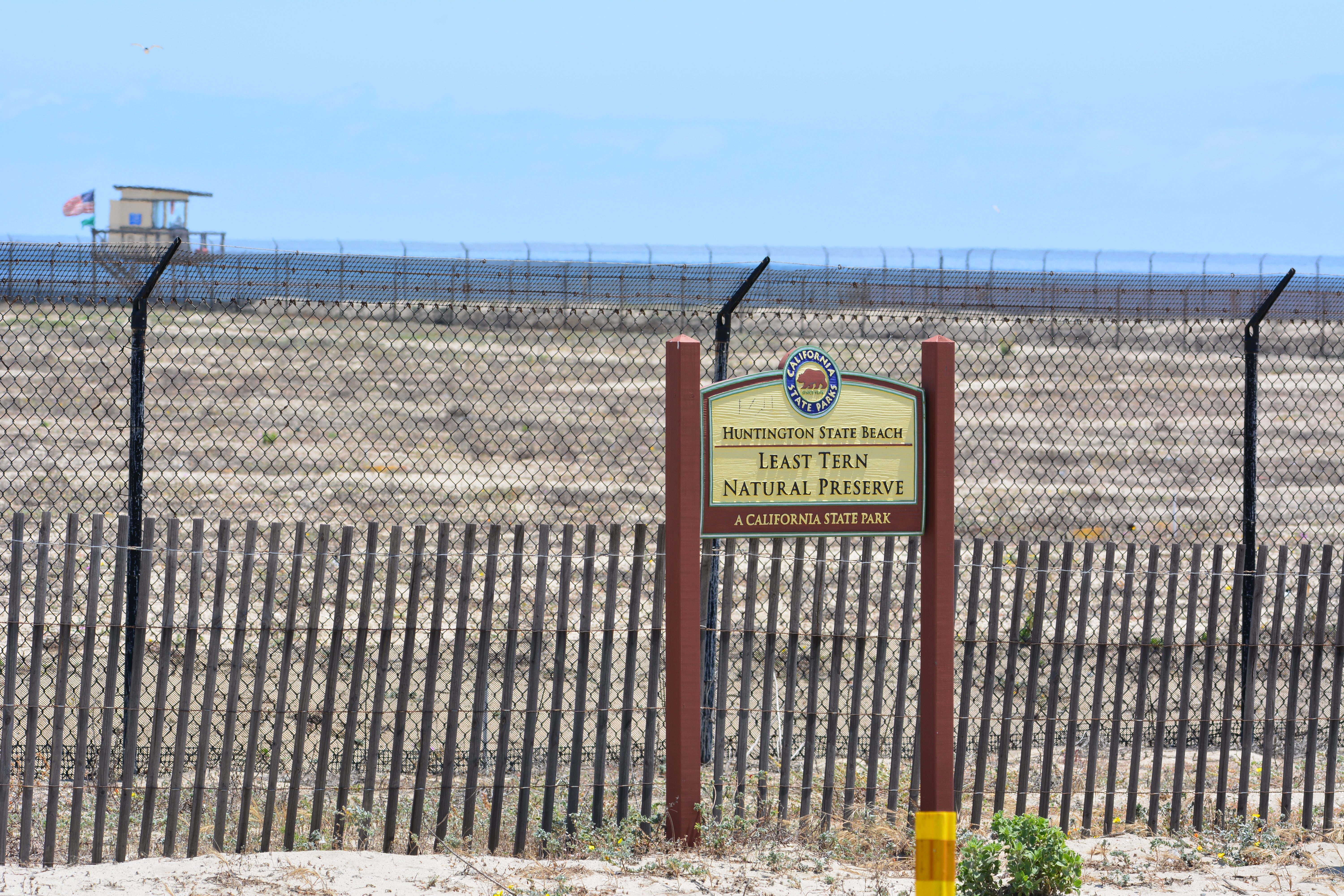
Sign on fence at Huntington Beach Least Tern Natural Preserve urging people to stay 15 feet away.
Boy Scouts and Cub Scouts were helpful in getting the least tern nesting area ready for the 2015 season.
Cub Scouts distributing oyster shells around the nesting area for the least terns.
Fifteen boys from Cub Scout Pack 1015 and three boys from Boy Scout Troop 73, along with 18 parent volunteers, came out to the least tern nesting area at Alameda Point on Sunday, April 12. They joined a dozen students from UC Berkeley’s Tau Beta Pi fraternity, and five students from Oakland School for the Arts’ Club Impact and Empowerment. The volunteers put out oyster shells and tern shelters, made fence repairs, and trimmed weeds. It was the final work party before the terns arrive later in April to begin nesting.
Piles of oyster shells. Two students mending plastic mesh fencing to keep chicks from wandering through the chain link fence.
“The older boys in our Webelos Den have been studying the least tern as part of their Naturalist Badge where they study local birds who are endangered, as well studying the local ecosystem and wetlands,” said Dorinda von Stroheim, Bear Den Leader Pack 1015. “The younger scouts are working towards their World Conservation Award where the boys are encouraged to ‘think globally’ and ‘act locally.’”
Least tern adult with chick sitting in a depression in the sand in 2014.
When asked what they liked most about their day of volunteering, Dash, age 9, said, “Digging up all the weeds! We did a lot of work but that part was fun!” Will, age 8, said, “I liked putting out the oyster shells the best because the little baby birds will now be protected. Also we saw a big spider!” They also saw some crickets and fence lizards.
The oyster shells are similar in color to a tern chick and make it harder for flying predators to spot them, especially if the chicks hunker down under the flanks of a larger shell. A-frame wooden shelters and terracotta drain tiles also provide shelter from predators and from the sun.
By mid-June, the 9.6-acre sand-covered site could be humming with activity with as many as 300 chicks scampering around waiting for food to arrive. The adults dive for small fish in nearby waters from Alameda Point to Crab Cove.
“The boys felt a big sense of accomplishment being part of the conservation project in April,” said von Stroheim. “It was great to see how even these young boys age 8-12 could contribute in a meaningful way to the work. The parents also enjoyed getting to be part of such an important Alameda project.” The Elks Lodge in Alameda sponsors Cub Scout Pack 1015.
The public will have an opportunity to visit the site on Saturday, June 20. The annual Return of the Terns bus tours leave from the Crab Cove Visitor Center on McKay Avenue following a presentation. Tour times are 11 am, 12:15, and 1:30.
Registration is required via the East Bay Regional Park District’s website. The cost is $11 for adults or $9 for youth (over 8 years). The tours are co-sponsored by the East Bay Regional Park District and Golden Gate Audubon Society.
Picking up oyster shells.Volunteers at work. Looking south.The view toward San Francisco at the start of the volunteer work day. Lettered and number cinder blocks are used to record nesting activity by a grid system. Tiles and A-frames were spread around the site for use as shelters.UC Berkeley students trimming tall pampas grass near the nesting site.
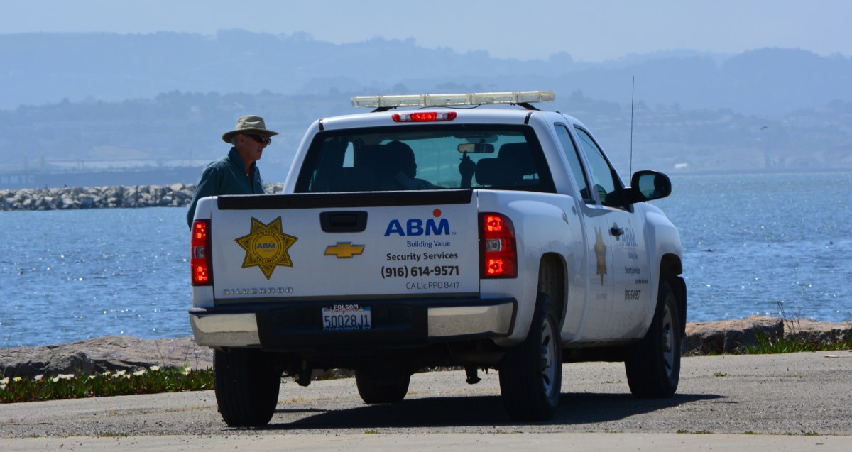
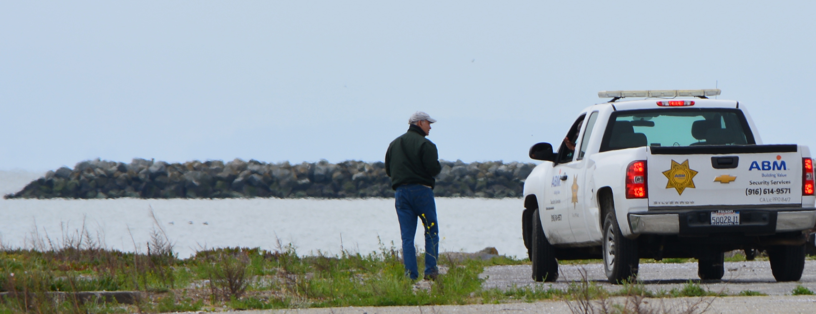
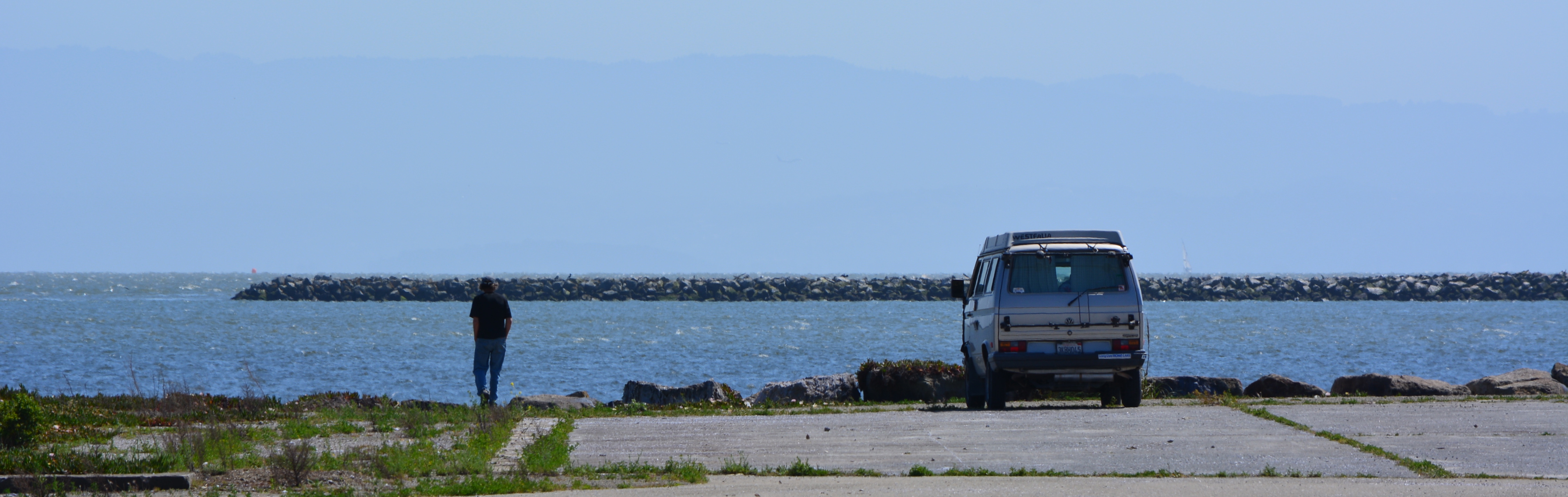
On Sunday, April 19, Vice Mayor Frank Matarrese drove to the shoreline on the west side of the Seaplane Lagoon, and within minutes of arrival he was ordered to leave the area by Alameda Point security. He was not alone. Anyone visiting the area, which is designated as a future naturalized park on planning maps, was subject to the same experience.
Alameda Vice Mayor Frank Matarrese being ordered to leave the shoreline of Alameda Point by Alameda Point security on Sunday, April 19, 2015.
The Navy temporarily restricted public access to the area over the last few years because of environmental cleanup, but removed its fencing in mid-March allowing the public to once again visit the waterfront.
Nanette Mocanu, the city’s Economic Development Division Manager, explained that the city immediately re-established the no public access rule because of a case of illegal dumping and evidence of car “side show” activity. “We will be installing our own fencing that will prevent car traffic to the area, except for the tenants,” said Mocanu. “There will be a pedestrian gate to allow people to walk along the waterfront area.”
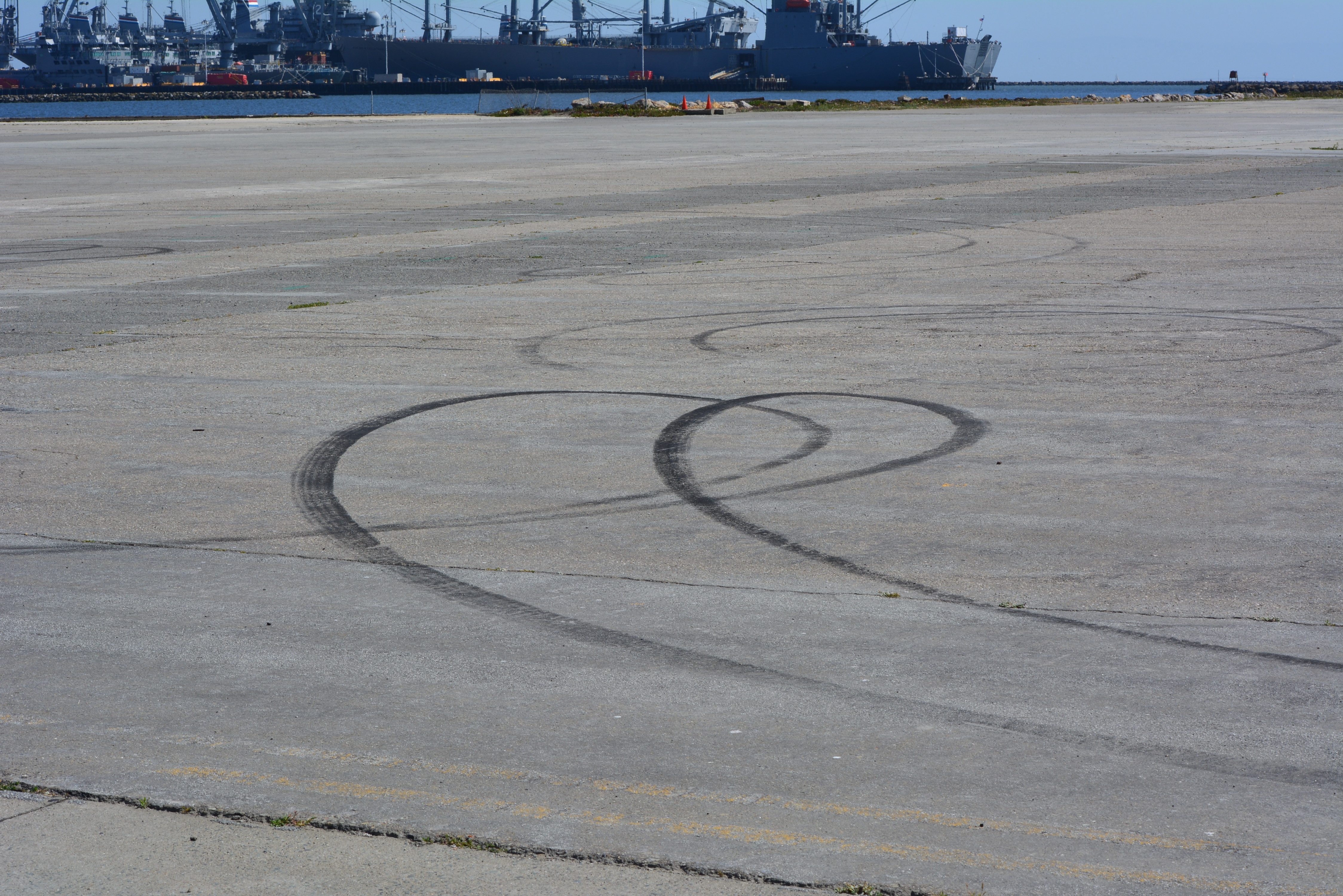
An investigation of the tarmac area revealed a few tire tracks, but otherwise it was clean. Similar displays of tire tracks from “side show” activities appear prominently throughout Alameda Point. Illegal dumping has been a problem at the former Naval Air Station since its closure, concentrated mainly in abandoned housing areas, not on the tarmac.
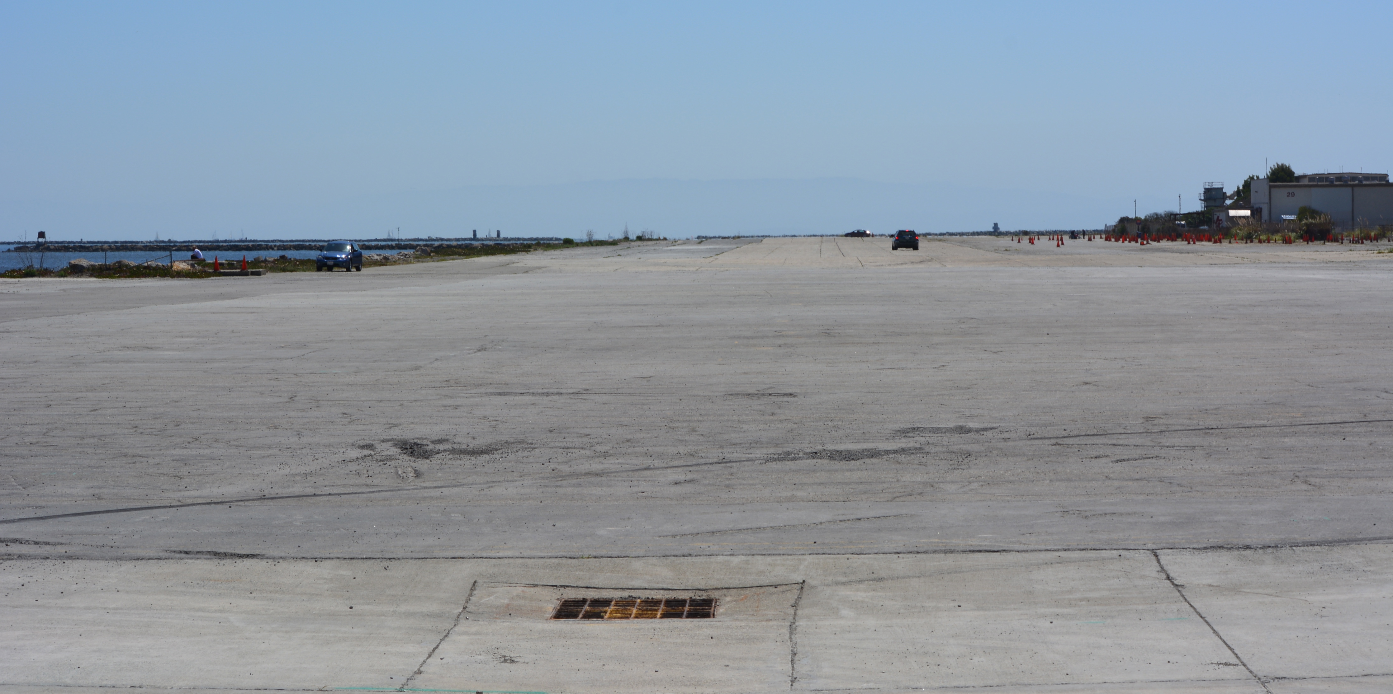
Most visitors to the area have one destination in mind, the southern shoreline facing San Francisco Bay. They are usually there for only short periods of time. Under the city’s car restrictions, visitors arriving in cars will have to walk four tenths of a mile across a paved landscape to arrive at the Bay shoreline. Access will be limited to those with the desire and mobility to make the trek out to the shoreline vista point.
Matarrese was not pleased with the city’s plan to restrict the area. “I do think there is a better way, like opening and closing the gate at sunrise and sunset, since the guard is out there anyway,” said Matarrese. “I’d even be able to live with the stated restrictions if it meant a concerted effort, with a plan and a timeline, to build the park described in the waterfront plan adopted last year.”
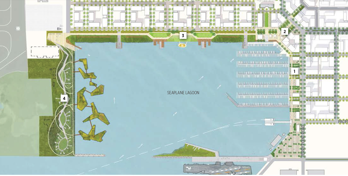
The Town Center and Waterfront Precise Plan, approved by the city council in July 2014, calls for the western side of the Seaplane Lagoon to become “a park for visitors to enjoy nature and appreciate ecologically rich constructed habitat areas.” Referred to as De-Pave Park, it “combines a proactive ecological agenda with a compelling visitor experience by placing a picnic, camping and interpretive program within a large scale sustainable landscape,” states the plan. “The landscape strategy is to transform this vast paved area into a thriving ecology by removing the paving and nurturing ecological succession.”
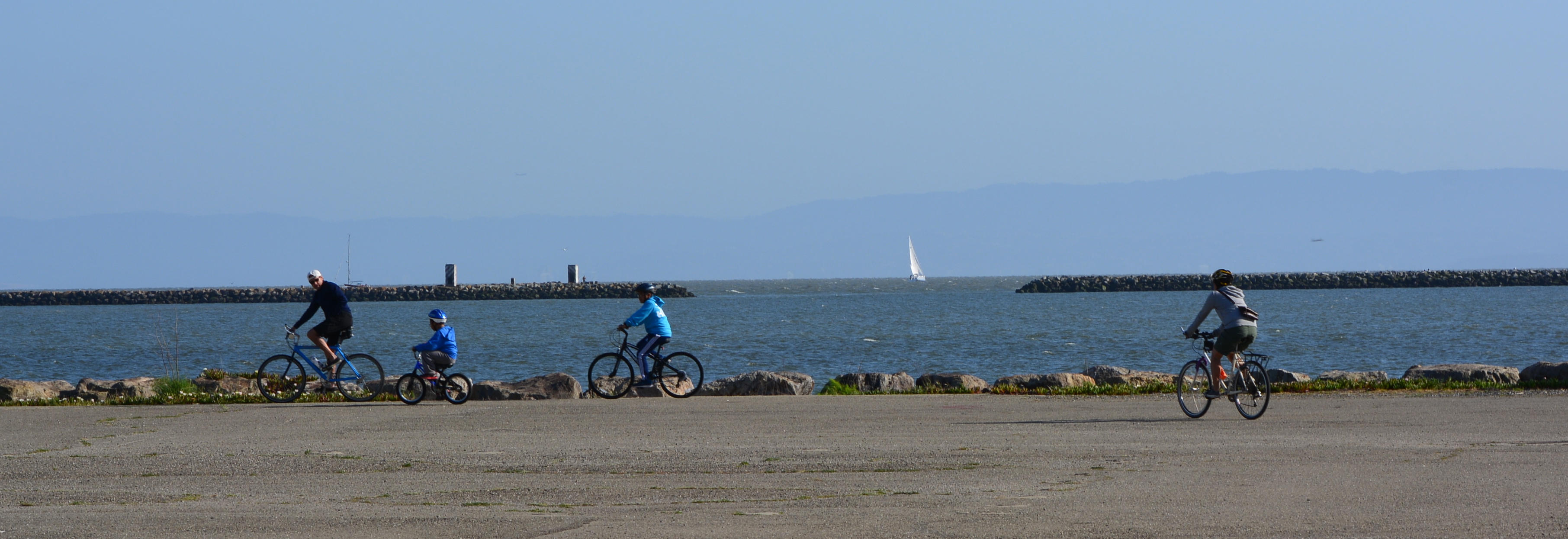
Waterfront plan showing proposed natural park on west side (left) of Seaplane Lagoon.The distance to walk to the Bay shoreline from the gate, at the west side of Seaplane Lagoon, looking south.Family bicycling to the shoreline on west side of Seaplane Lagoon.
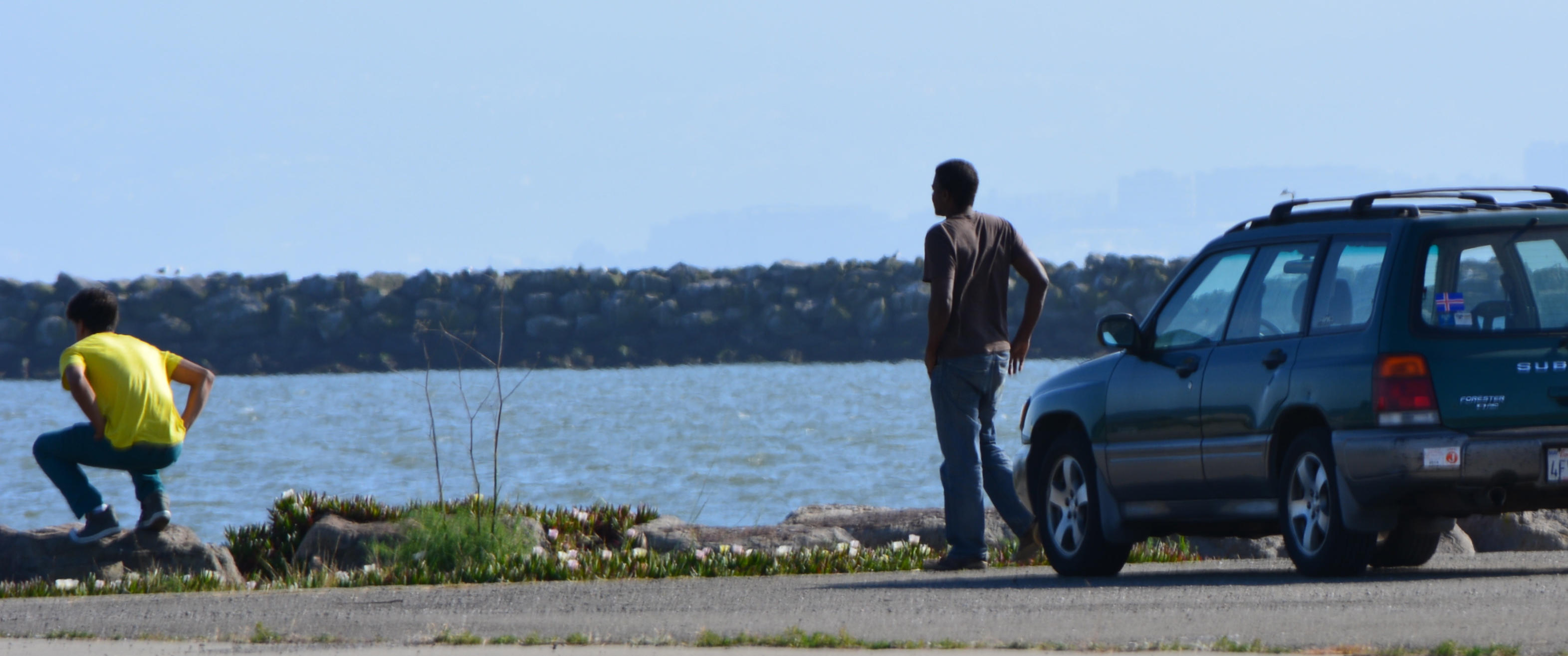
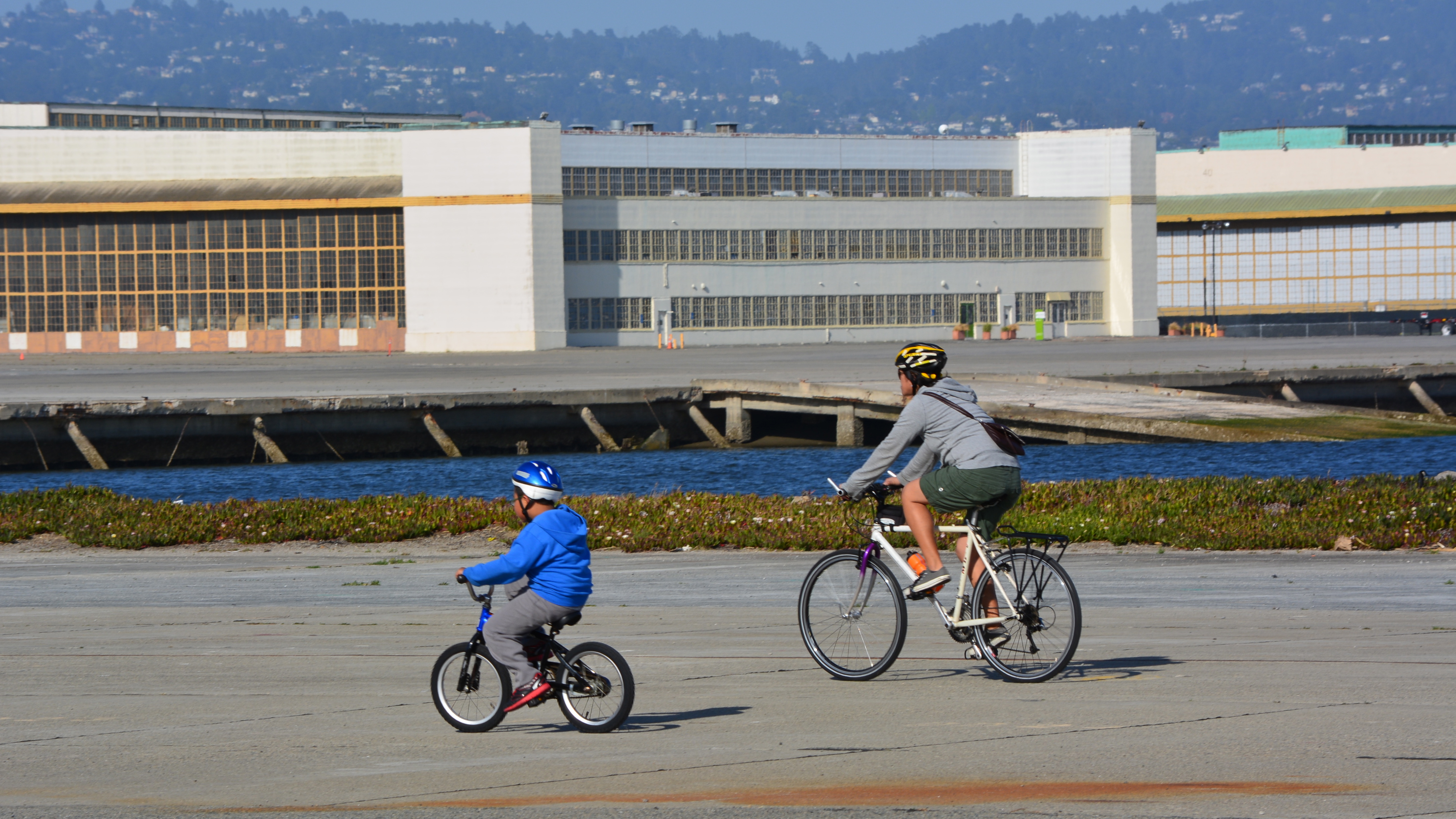
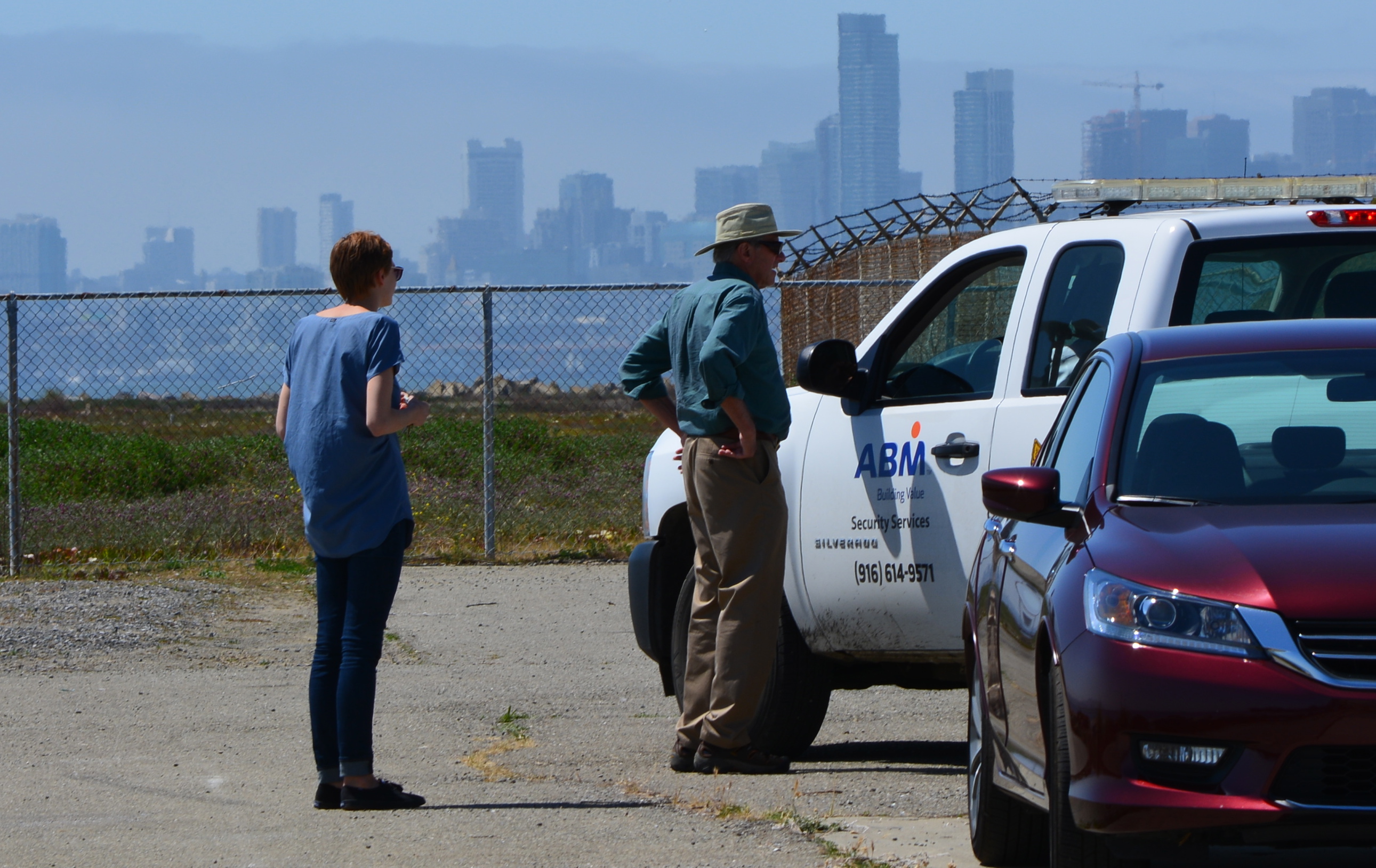
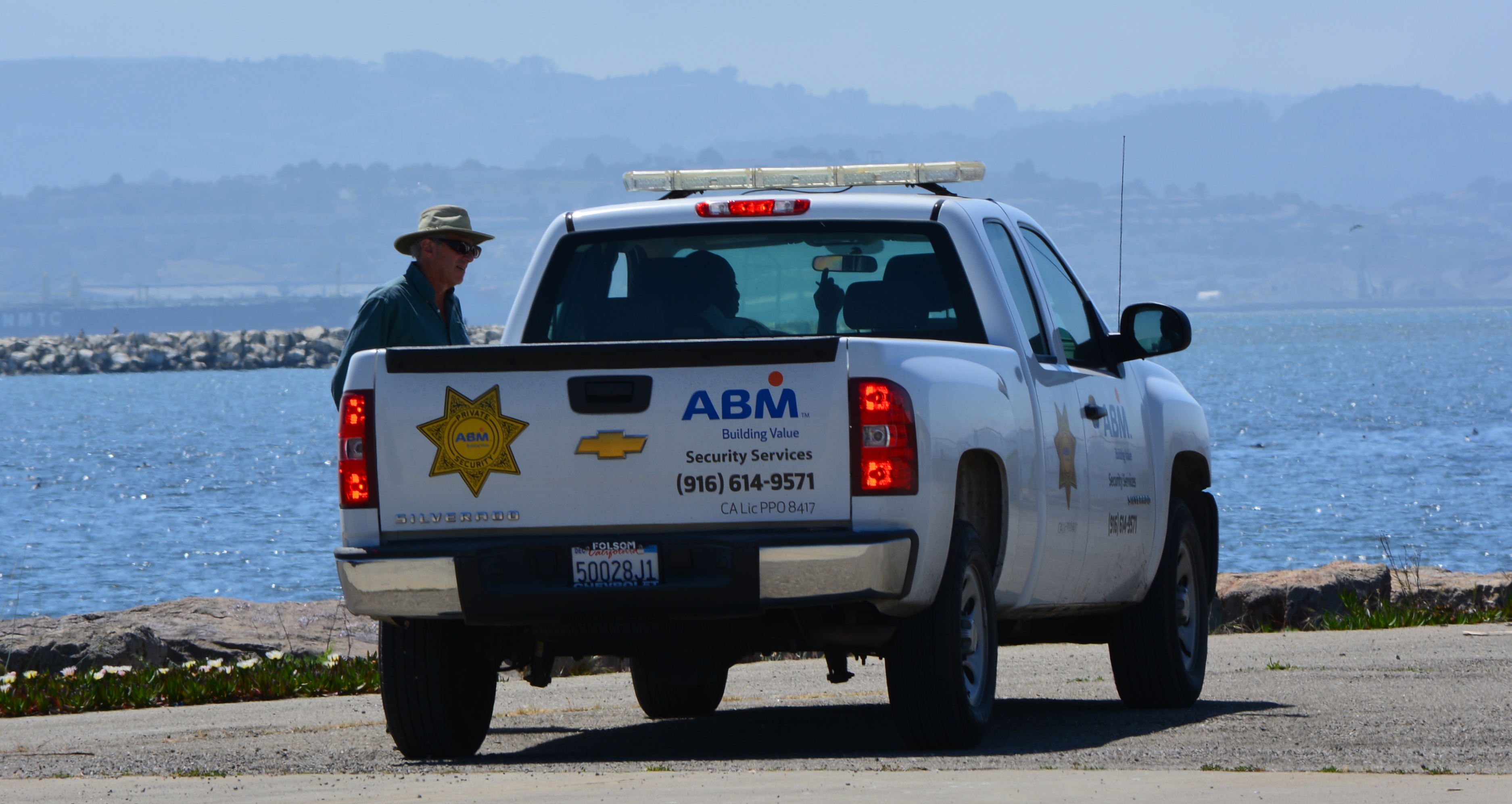
Mother and son cycling on west side of Seaplane Lagoon.Two visitors to west side of Seaplane Lagoon shoreline being ordered to leave by security.Security guard telling car driver and his friend they had to leave.This driver was approached by security shortly after photo was taken as he was leaving.
At its January 20, 2015 meeting, the city council will weigh-in on the preliminary layout proposed by developer Alameda Point Partners (APP) for a 68-acre residential and commercial parcel between Main Street and the Seaplane Lagoon.
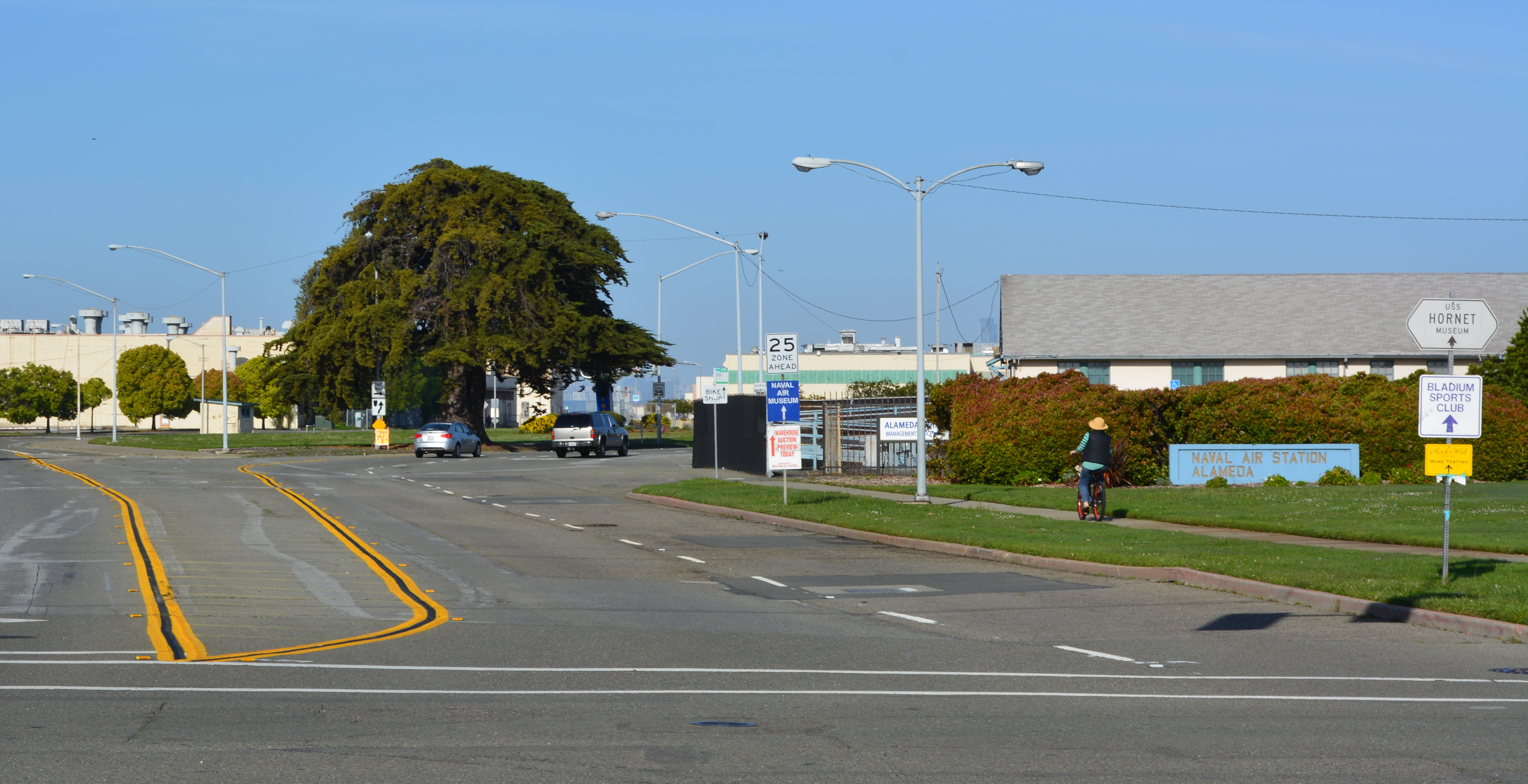
West Atlantic Avenue will be realigned as a four-lane divided street to the right of the big tree and become a continuation of Ralph Appezzato Memorial Parkway. Main Street in foreground.
APP was selected by the former city council on November 18, 2014, to work up a plan for 800 condos and apartments and 200,000 square feet of retail and commercial space. The developer will also be responsible for changing the gateway street alignment from an oval to a straight line leading to a new public plaza at the Seaplane Lagoon.Continue reading “Alameda Point gateway plan begins taking shape”
Volunteers at the Alameda Point nesting site of the endangered California Least Tern continued their efforts this fall after a successful 2014 nesting season.
Tau Beta Pi members help out during the November 2014 work party. Port of Oakland in background.
The Alameda Point colony produced over 350 least tern fledglings this year, and a record number of the nests had three eggs, as opposed to the usual two. The 45 nests with three eggs may be due to in part to better than normal availability of small fish in nearby waters. The terns arrive at the airfield site in early April. By mid-August the terns have headed south to Mexico and Central America.
Least Tern adult with two chicks – June 2014. Viewed through chainlink fence.
(Hint: It’s behind Building 25 and was temporarily enlarged on Thursday.)
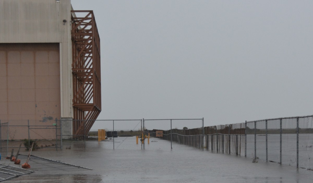
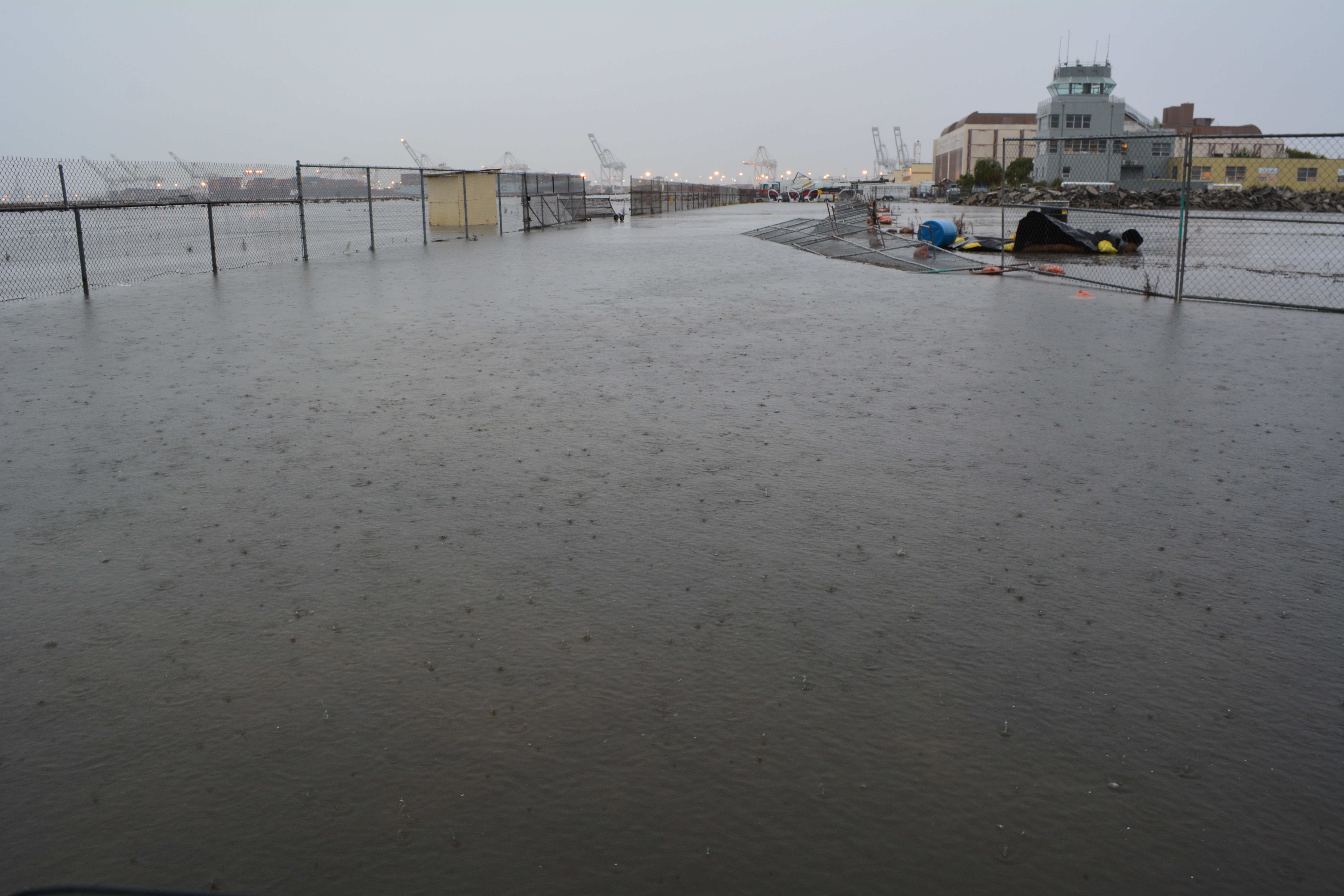
Rain on Thursday, December 11, led to flooding on three sides of Building 25 at 1951 Monarch Street, as well as on the south side of the Control Tower. Building 25 is adjacent to the wetland on federal VA property called Runway Wetland.
Flooding next to Building 25 (behind camera), looking toward Control Tower and Port of Oakland. VA federal property on the left.
Building 25 was slated for removal in the original Waterfront Town Center conceptual drawing to make way for a wetland park called De-pave Park. By early 2014, city staff decided instead to lease the building, convincing the city council to follow. The plan now calls for protecting the building with a levee, which could be decades away. Continue reading “Find the wetland near Building 25 at Alameda Point”