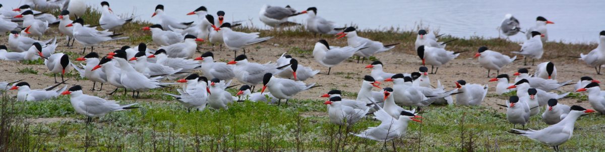
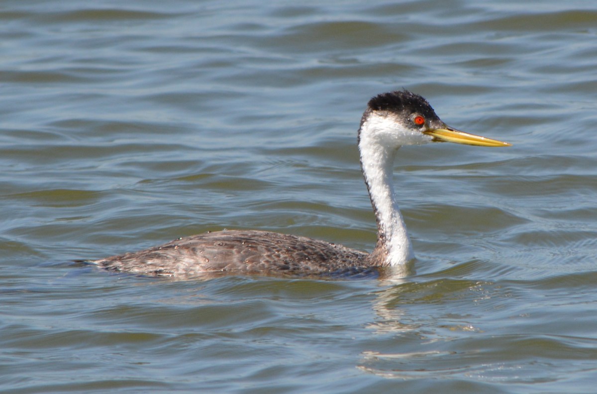
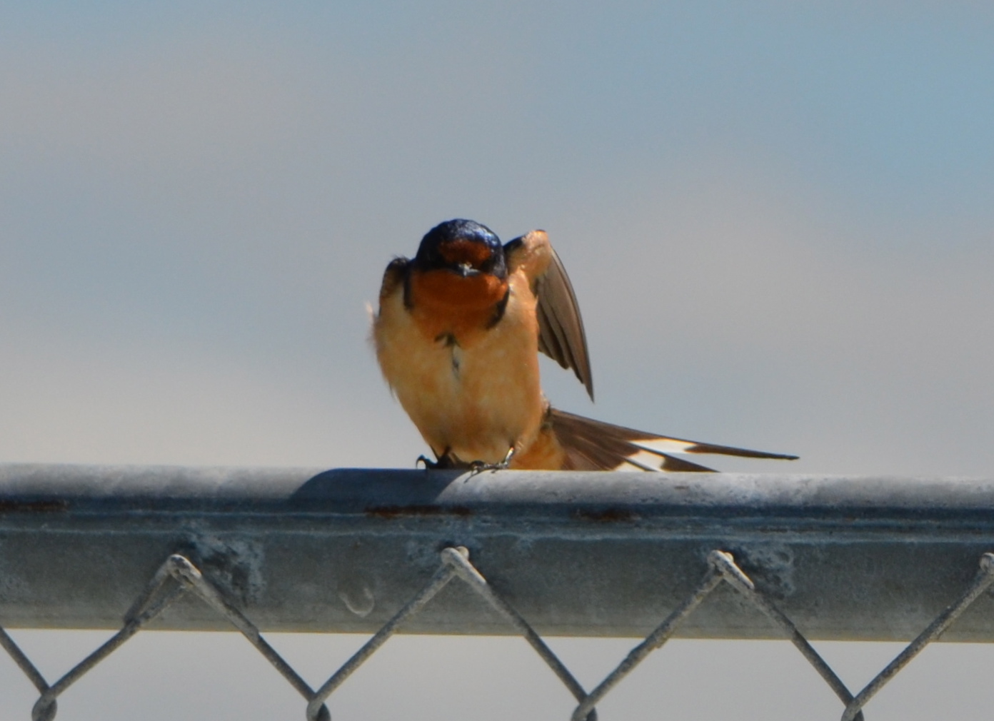
Tag: wildlife
Shoreline grassland, wetland: An opportunity now at Alameda Point
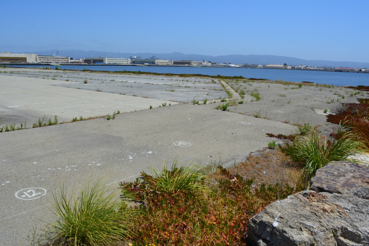
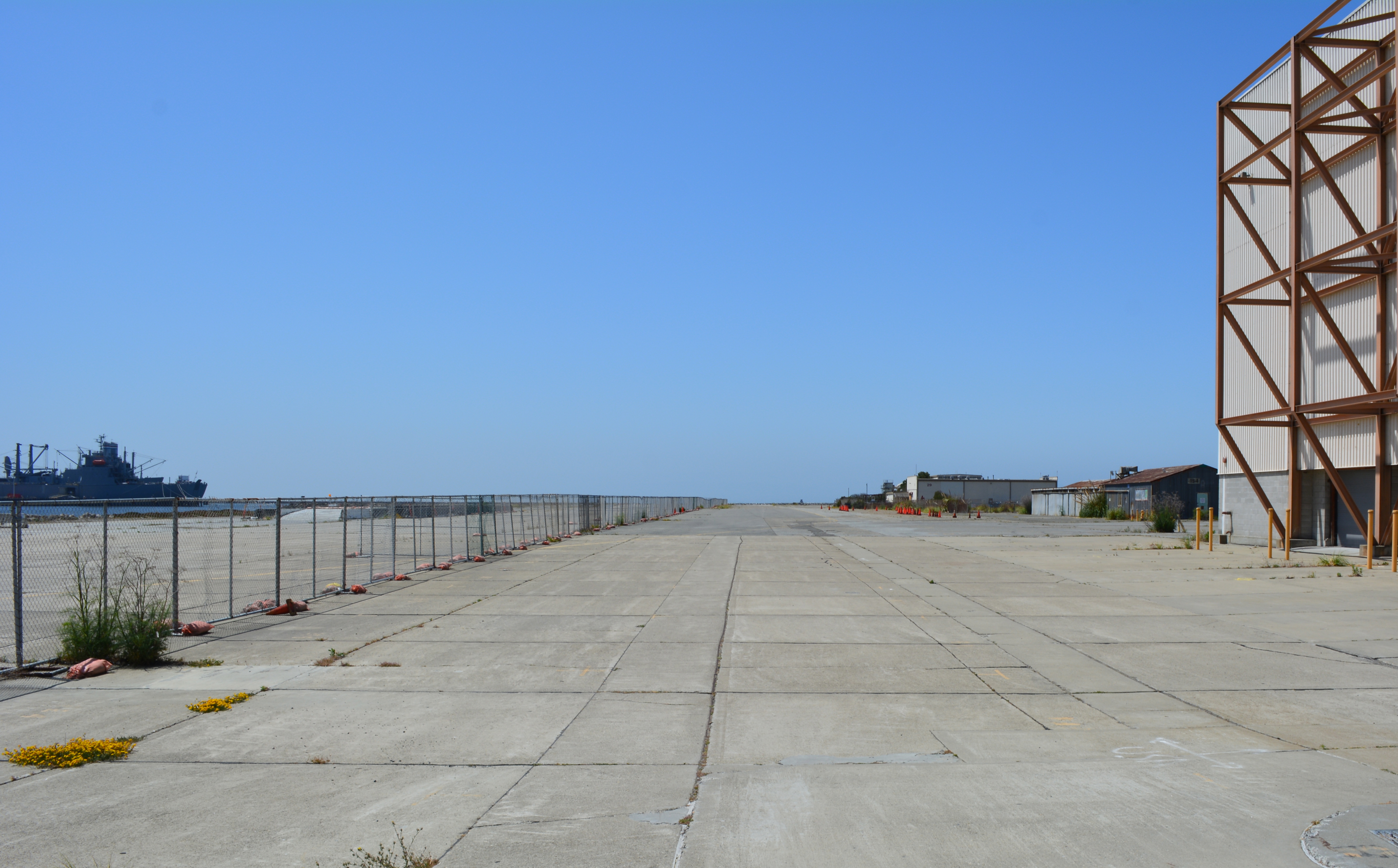
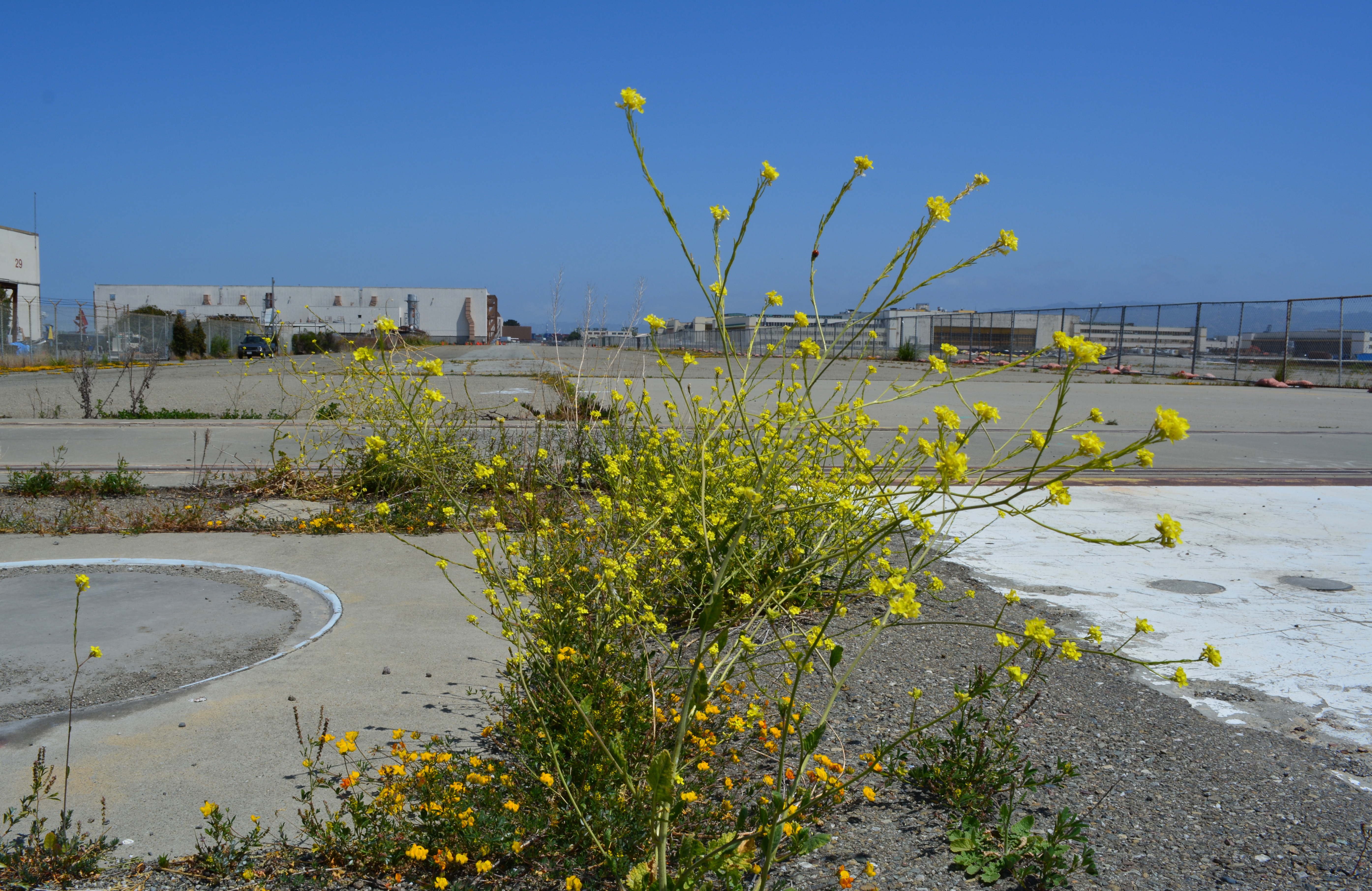
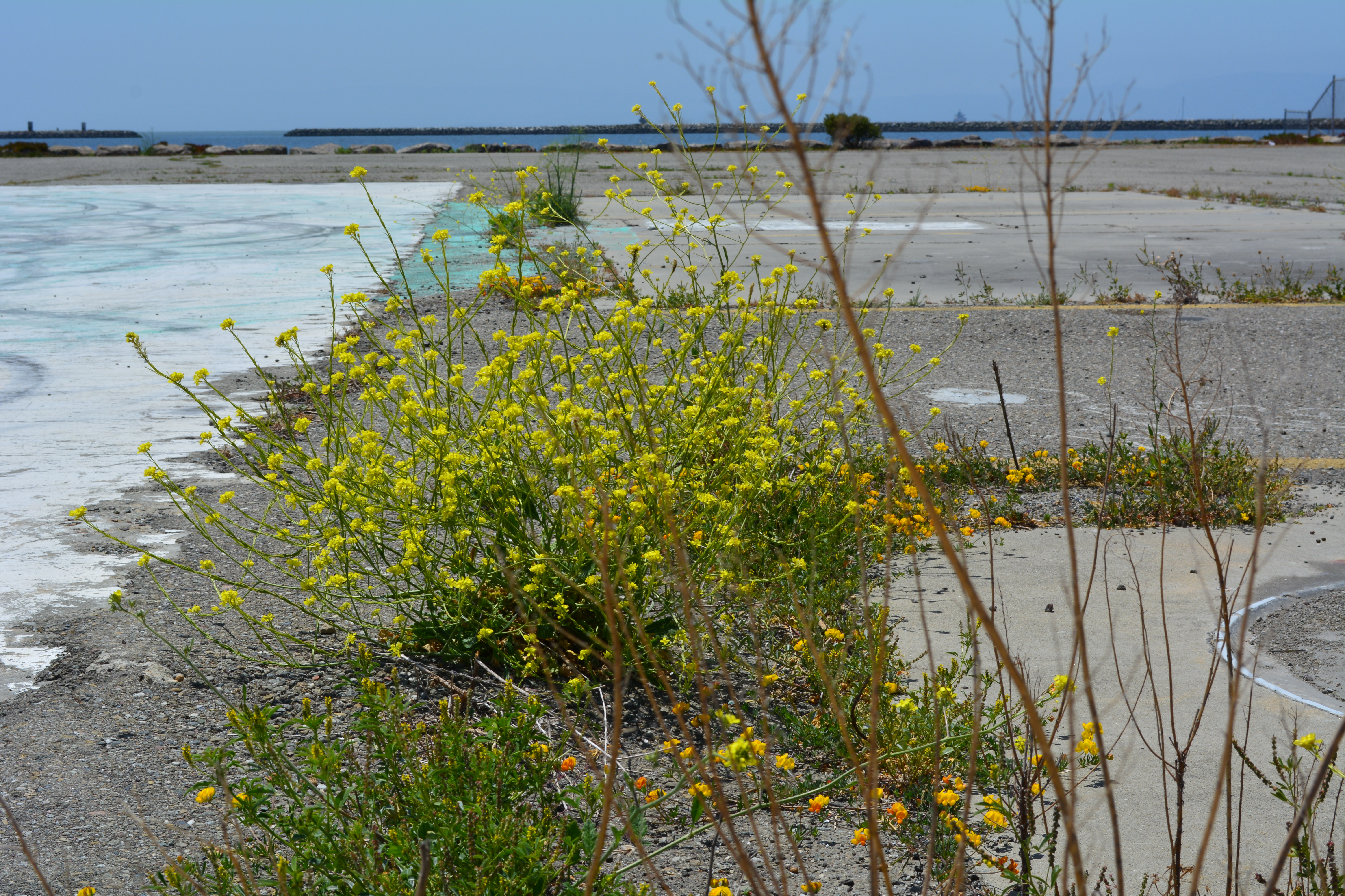
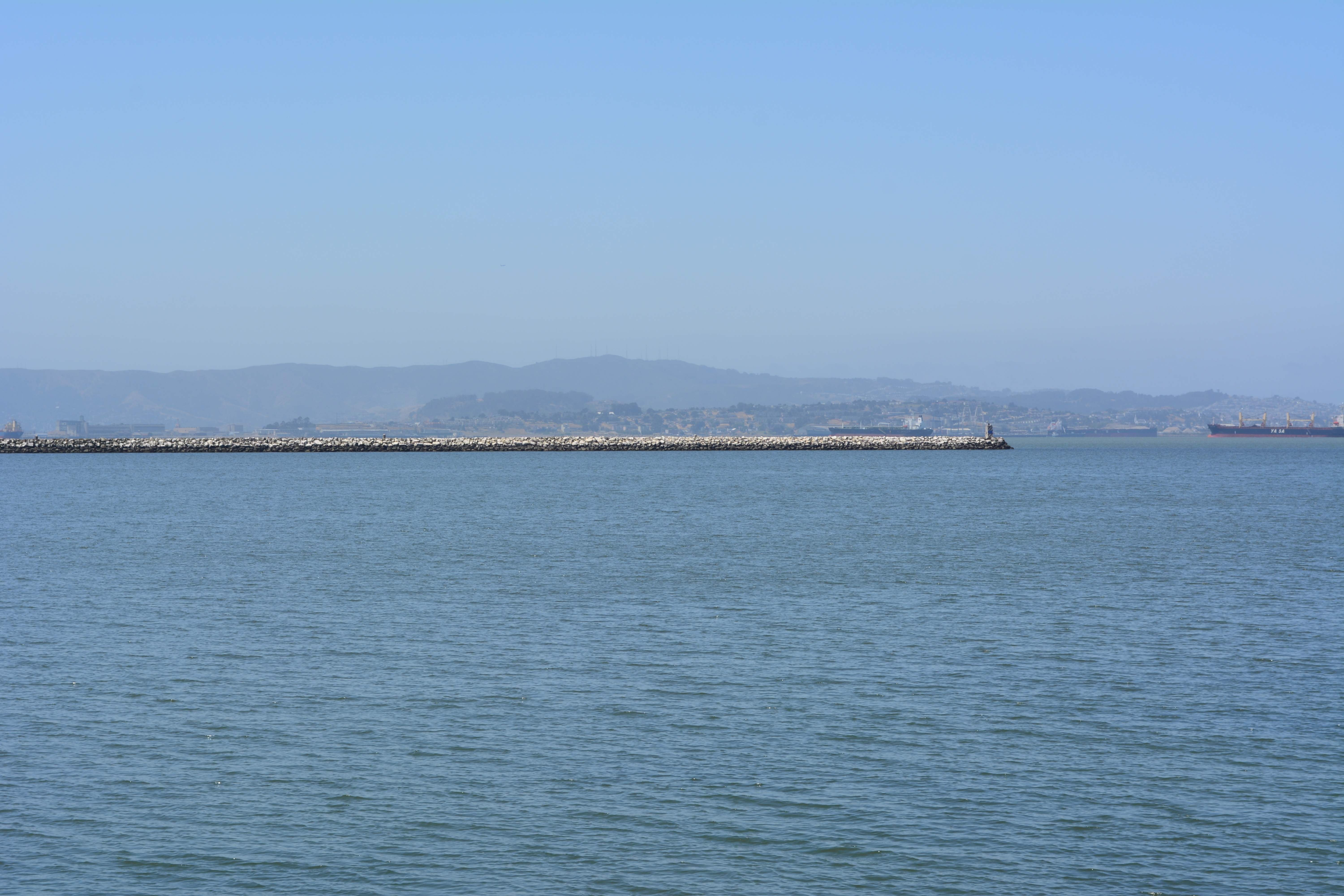
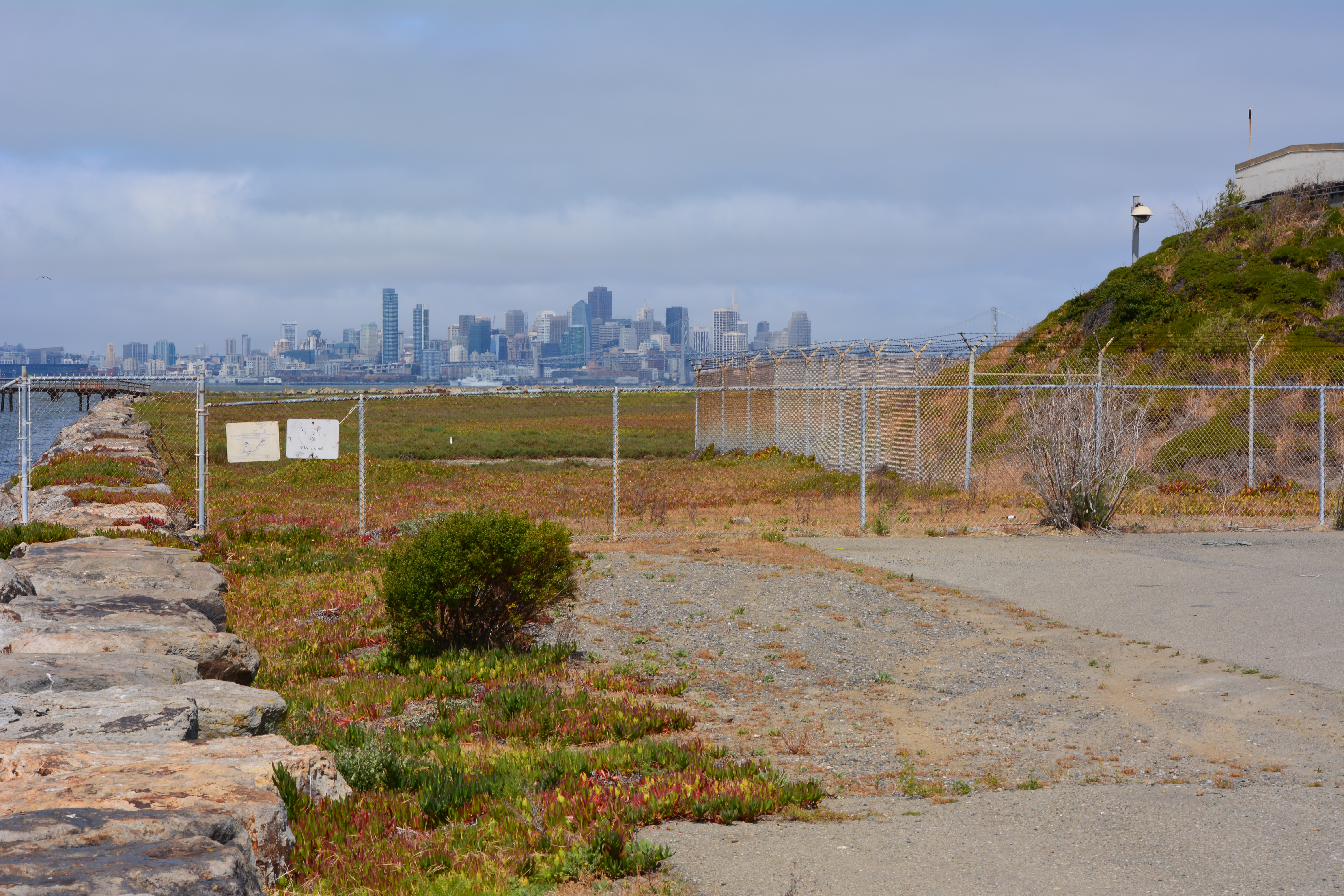
The city’s west side of the Seaplane Lagoon at Alameda Point is mostly pavement – acres of it – with a few old buildings abutting a wetland on the federal property. The city claims its long-range plan for this area features a conversion to a wetland habitat, but their only commitment is to continue leasing the buildings to generate revenue while allowing a sea of unnecessary pavement to remain as an environmental blight.
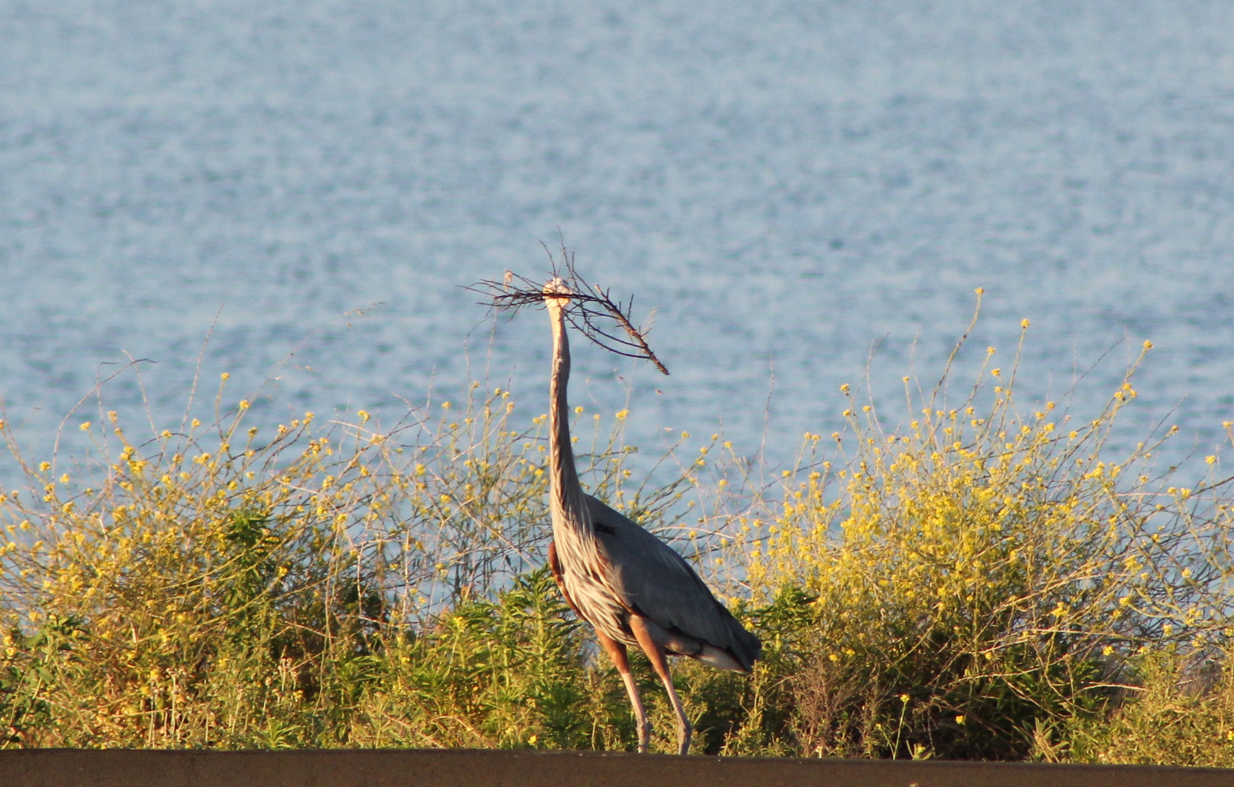
Opportunities for implementing ecosystem enhancement, both short and long term, have yet to be explored for this area. We need to start moving in a direction now that benefits the environment by reducing climate impacts, improves the atmosphere around nearby businesses, adds to public enjoyment, and increases wildlife habitat.
Proposal for ecosystem enhancement
Short-term plan – Remove all pavement not required for commercial tenants. Recycle the pavement at the VA’s Alameda Point project site where they will be raising elevation and need base rock and fill. Once the pavement is removed and the soil exposed, native vegetation could be planted. Native vegetation will absorb CO2, produce oxygen, eliminate the heat island effect of the former pavement, add wildlife habitat, improve the aesthetic appearance of the property, and make it attractive as a hiking, jogging, and cycling destination.
Step 1 – Set aside money from lease revenue generated on the west side of the Seaplane Lagoon for pavement removal and introduction of native plant vegetation.
Step 2 – Explore recycling pavement at Alameda Point.
Step 3 – Explore grant sources for conversion of paved areas to native vegetation, i.e., state air quality board, EPA, State Lands Commission, etc.
Long-term plan – Establish an Alameda Point Wetland Mitigation Bank, which would incorporate the west Seaplane Lagoon acreage along with 50 acres on the northwest side of Alameda Point (Northwest Territories). Investment money would provide the capital for wetland creation, with money being recouped when mitigation credits are sold to developers elsewhere in the Bay watershed to offset their project’s impacts. As a general rule, a tidal wetland is worth at least as much as it would cost to create it. That’s why businesses exist that specialize in mitigation banks. In theory at least, the wetland project could be self-funding.
Step 1 – Commission a study on wetland mitigation bank formation using lease revenue from Buildings 25 and 29.
Information about wetland mitigation banking:
Report To The Legislature – California Wetland Mitigation Banking – Jan. 2012
U.S. Wetland Banking – Market Features and Rules
Forbes wetland article 4/25/2014 from BCDC

Take the plunge! Remove pavement on the west side of the Seaplane Lagoon and improve our environment.

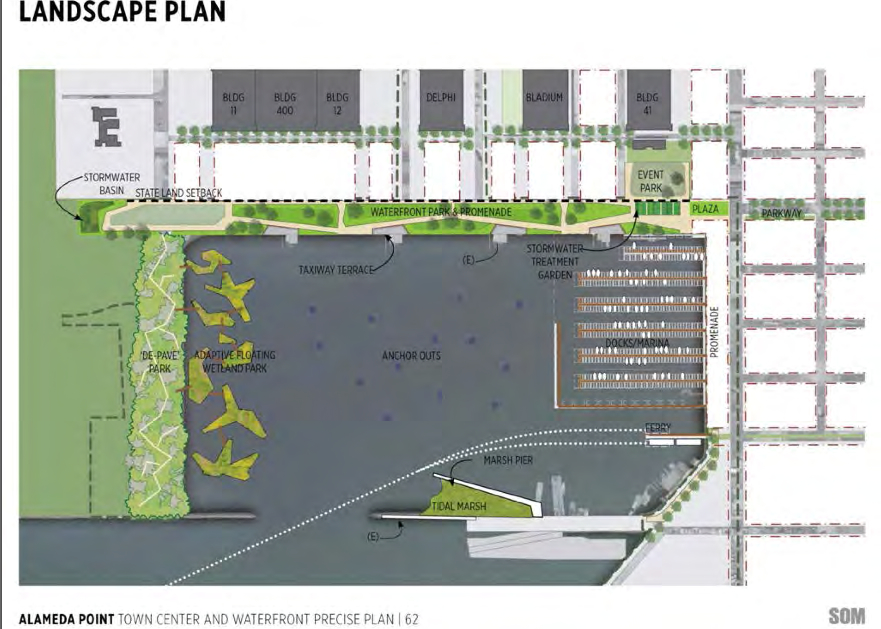
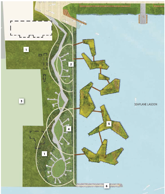
Waterfront plan for Seaplane Lagoon sees value in nature

Returning part of the Seaplane Lagoon shoreline to nature is one of the biggest changes that have emerged in the planning process at Alameda Point. The design proposal for the western side of the Seaplane Lagoon echoes the major theme of the Greenspace Project of Golden Gate University’s Center on Urban Environmental Law – the interconnected ecosystem.

(click on map image to enlarge)
The draft Town Center and Waterfront Precise Plan for the Seaplane Lagoon and eastern entrance area, presented to the Planning Board on August 21, offers a number of new concepts, including moving the proposed marina from the west side of the lagoon to the east side. The waterfront plan is being refined concurrently with zoning changes, an environmental impact report, and a master infrastructure plan, which are all aimed at providing the level of detail necessary for the city to start marketing property to investors in 2014.
In reporting to the Planning Board on design plans of the city’s consultant, Skidmore, Owings and Merrill (SOM), city staff stated: “Due to the vast scale of the study area and the Seaplane Lagoon as its centerpiece, the Town Center will be able to support a wide variety of unique waterfront experiences—some of which build and expand upon existing assets and activities, some of which introduce entirely new opportunities. SOM proposes the following four waterfront zones and experiences:
1. Natural environment—along the western edge of the Seaplane Lagoon with trails, docks, camping, outdoor sculpture and wetlands.
2. Promenade and recreational opportunities—along the northern edge, with early phased soccer fields, food concessions, bike and pedestrian paths, open lawn, and kayak access.
3. Urban edge—along the eastern side and portions of northern edge with marinas, docks, eating patios, overlooks, and ferry service.
4. Industrial—further south on the eastern side with maritime uses located near the MARAD ships and the USS Hornet.”

Climate adaptation grant funding needed – As currently envisioned, however, the de-paving, removal of buildings, and alteration of the western Seaplane Lagoon shoreline area is put off into the distant Phase 3 future — a decade or more from now — when presumably a surplus of infrastructure funds will allow for implementation. One option available for timelier implementation would be to begin now seeking grant funding from agencies that focus on shoreline climate change adaptation. There will be no commercial development on the western side of the lagoon, and therefore the project would become a public asset.
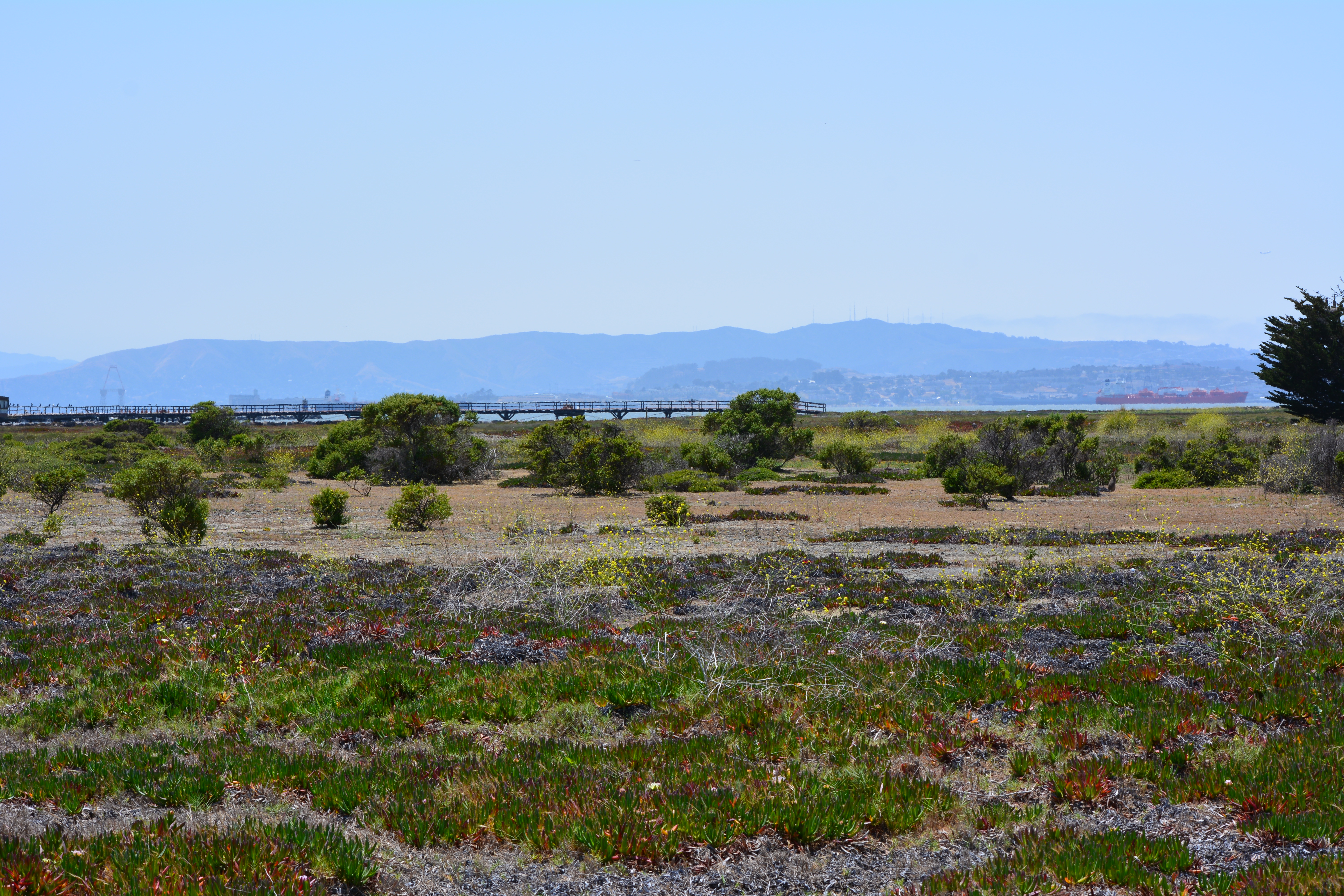
Lying directly to the west on the Nature Reserve is the Runway Wetland, whose habitat value would be greatly enhanced by a connection to the Seaplane Lagoon. Additionally, the draft Master Infrastructure Plan predicts a $10 million savings if the area were allowed to become tidal wetland as sea level rises.


Unless otherwise noted, all photos are copyright Richard Bangert. Permission requests appreciated before reproducing. See “About” page for contact info.
