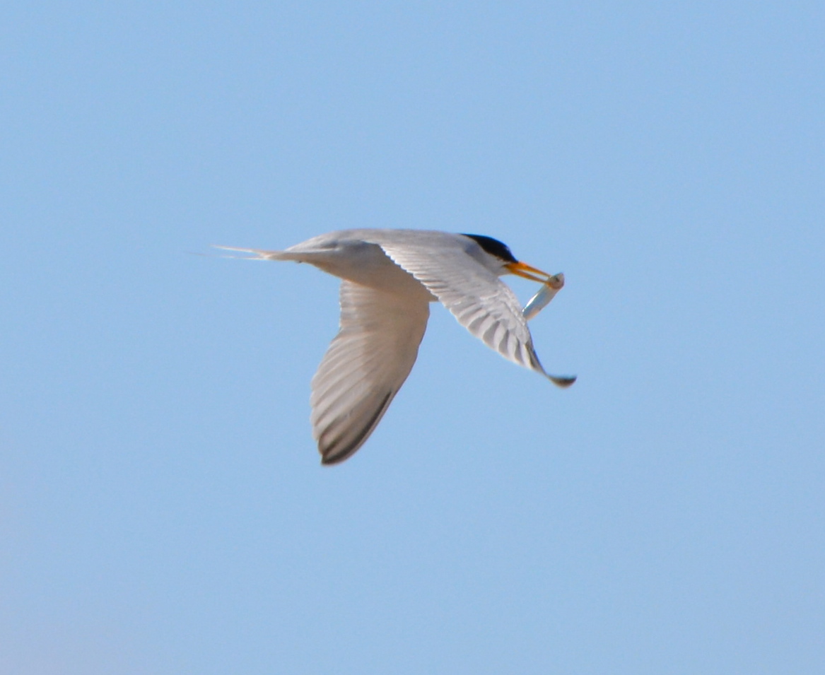
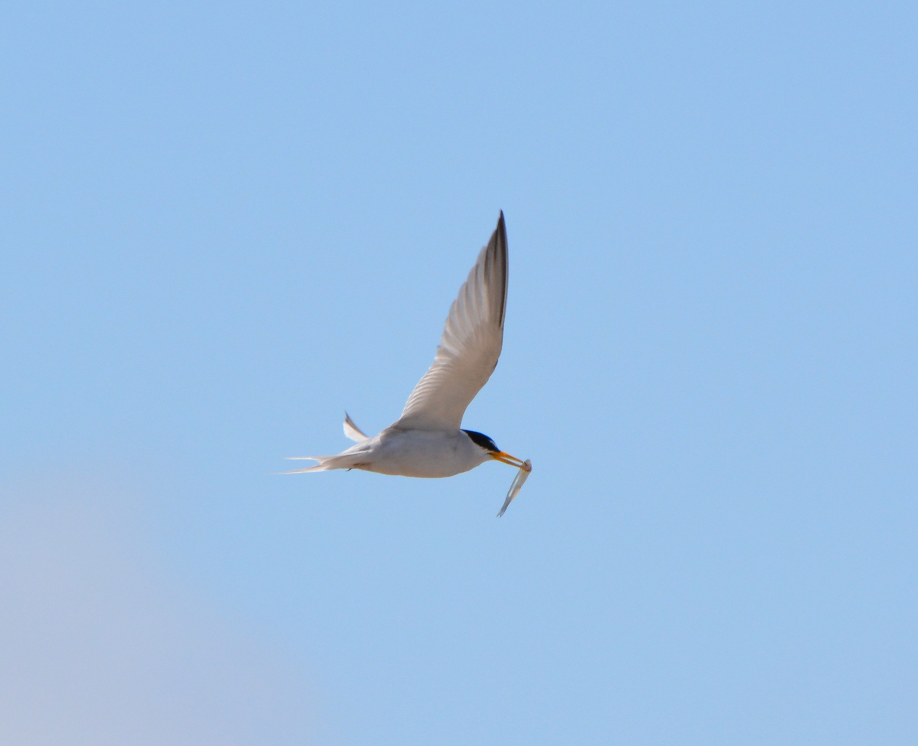
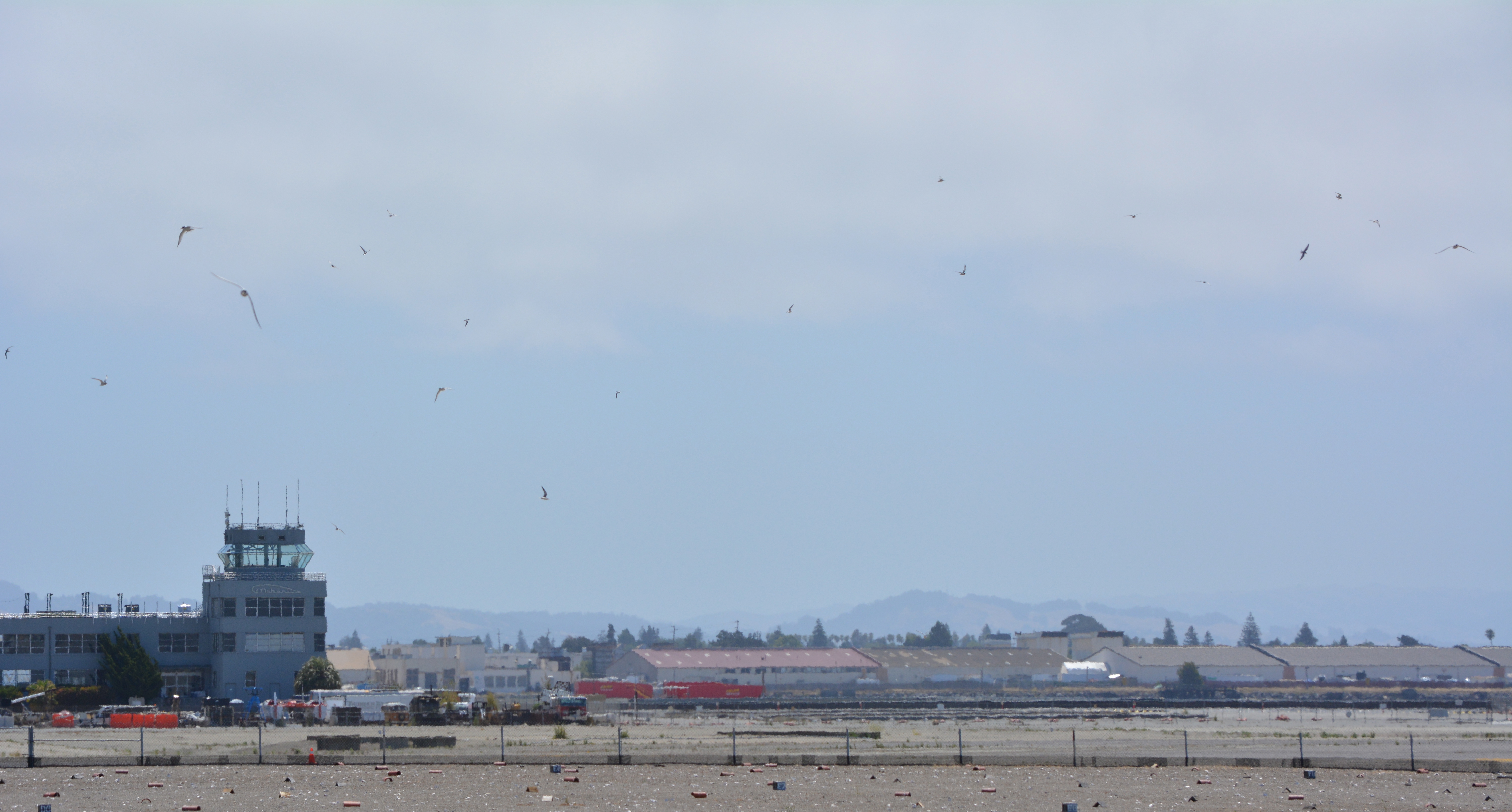
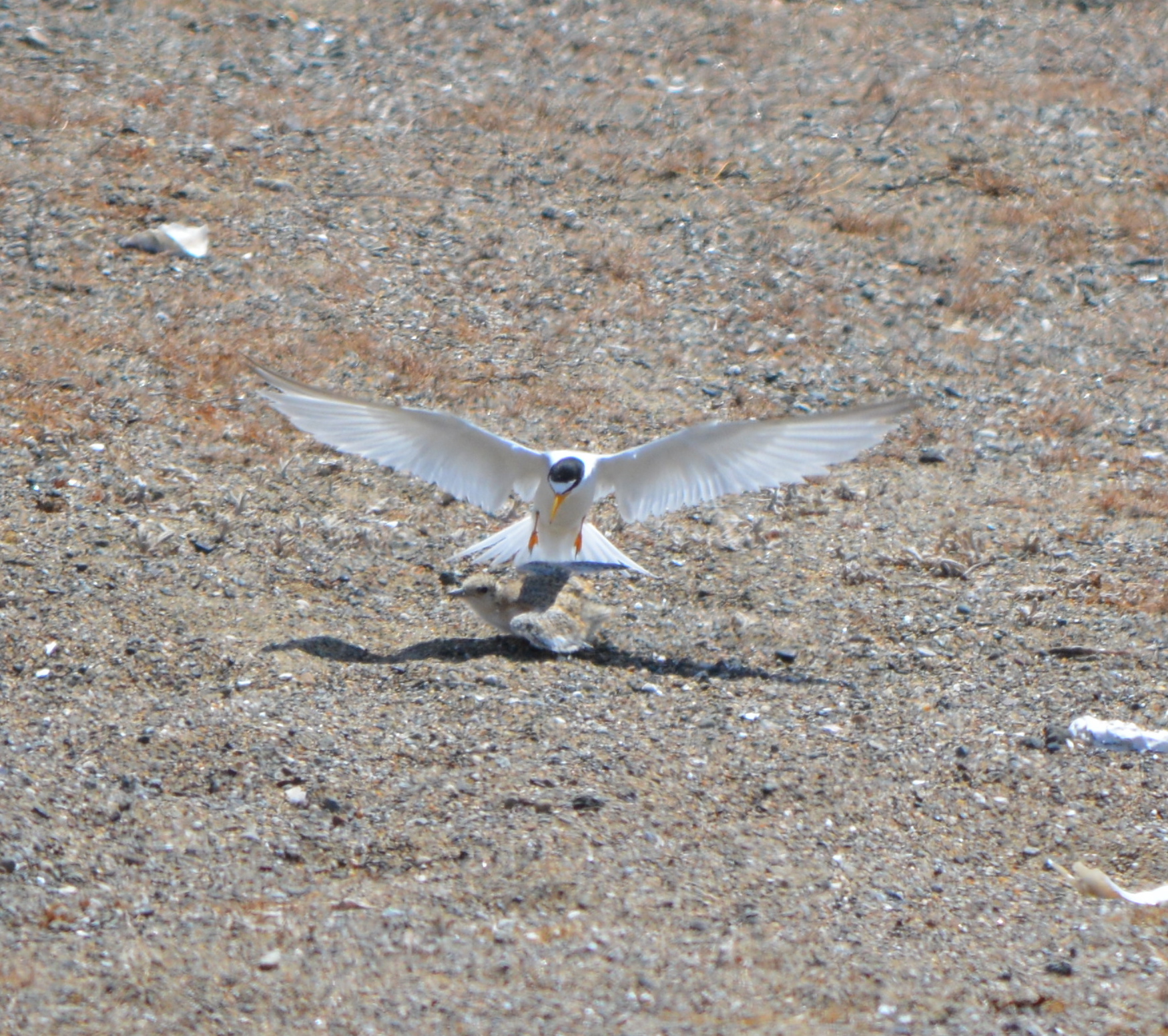
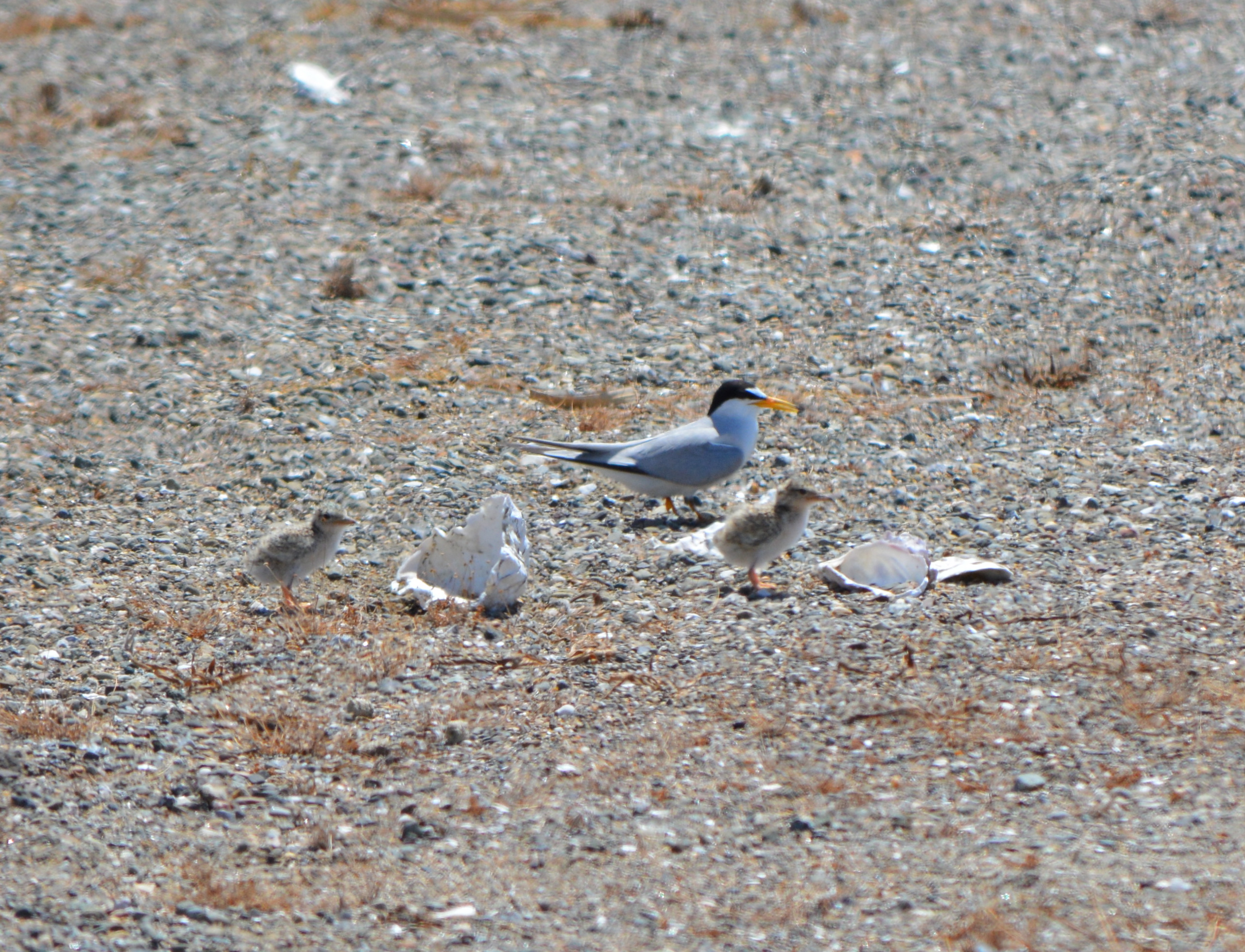
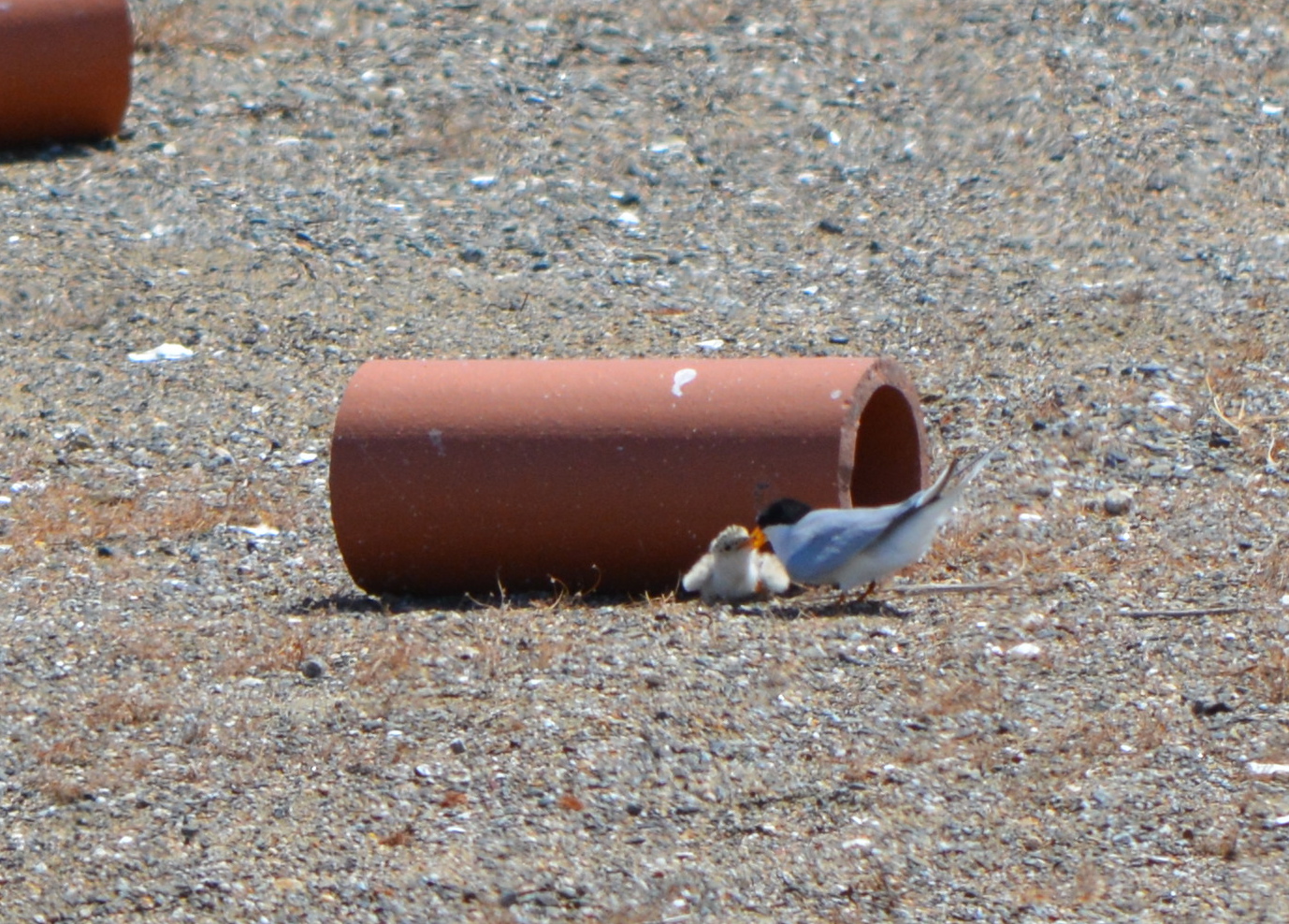
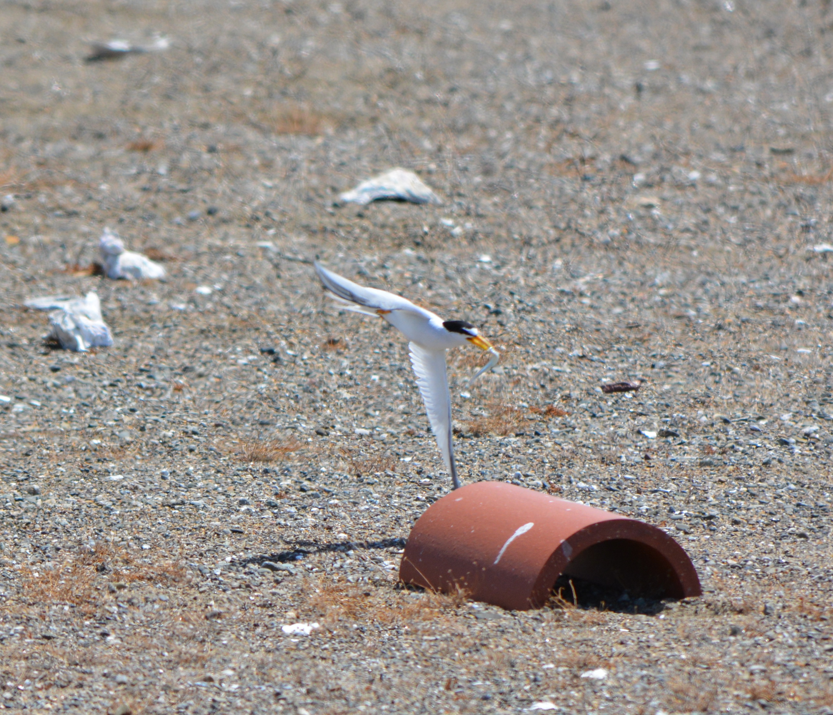
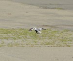
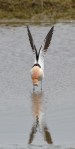
Three busloads of visitors to the nesting area were treated to a great show on the annual “Return of the Terns” day, June 15. The nesting area is on the Nature Reserve, located on the airfield of the former naval air station. Adult terns could be seen busily bringing small fish to their young, and doting on the young chicks as they scampered around the sandy colony. The cool temperatures of the day made it less stressful for the young birds.
The adults will continue bringing fish to their young and watching over them until they’re ready to fly south in early August. It looks like it will turn out to be a very good year for Alameda’s least tern colony, the largest in Northern California. Another tern colony is on the Hayward shoreline. The California Least Tern is an endangered species. The colony at Alameda Point is managed by the U.S. Fish & Wildlife Service.
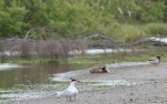
CA Least Tern @ Alameda Point – June 15, 2013CA Least Tern with fish at Alameda PointLeast Terns flying above the colony site at Alameda Point. Control Tower in background.
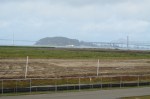
Thirty-five years after the Navy stopped disposing of toxic waste in unlined pits next to San Francisco Bay on Alameda Point’s southwest shoreline, the final actions to comply with state and federal laws are finally being implemented this year.
Site 2 where industrial waste is buried. Area up to the wetland will be covered with two feet of additional soil.
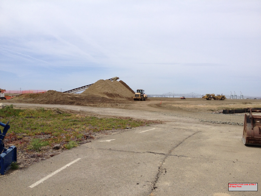
Decades of wrangling between the Navy and regulatory agencies over how to handle the West Beach Landfill, dubbed Site 2, were finally ironed out this spring. The U.S. Environmental Protection Agency (EPA), the Regional Water Quality Control Board (Water Board), and the California Department of Toxic Substances Control (DTSC) have agreed to a plan that calls for leaving the estimated 1.6 million tons of industrial waste in place and adding more soil to the existing soil cover.
Placement of soil cover at Site 2 – May 2013. US Navy Photo.
The Navy began dumping waste in the area in 1952, four years before they surrounded the area with a seawall. The dump was closed in 1978, but early efforts to comply with state environmental laws for landfill closure were not to the satisfaction of the Water Board.
In its May 2012 draft engineering work plan for the landfill, the Navy cited a decade of groundwater monitoring along the shoreline that proved the toxic chemicals of concern are not migrating toward the Bay. Instead, the chemical concentrations are either stable or declining. The contents have been sitting in water-saturated subsurface soil since the disposal program began 60 years ago.
Radiological hotspots of debris and soil, including a small storage building, were removed after an earlier scan of Site 2. Before the current two feet of clean soil is put in place, the soil will again be scanned down to a depth of one foot, and elevated concentrations will be removed. Radium-226 paint waste was disposed of in the landfill.
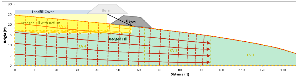
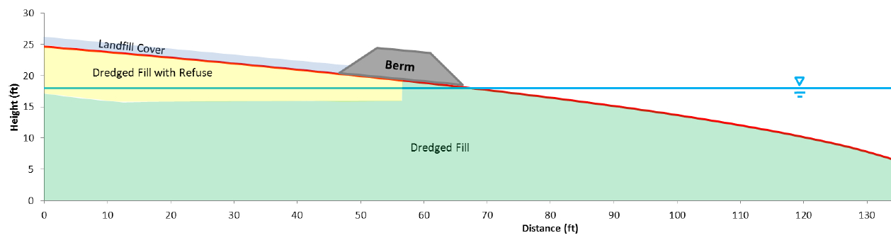
One of the major concerns about leaving this landfill in place is the consequence of a major earthquake. The Navy responded to a comment from a DTSC engineer by acknowledging that in the event of a maximum credible earthquake, the riprap boulders forming the “seawall is conservatively assumed to be non-existent, instantaneously whisked away and replaced with a 25-foot vertical face of liquefiable sand subject to plastic flow without being constrained by a rigid shell (sea wall).” The Navy’s earthquake model predicts that the earthen embankment above the seawall at the perimeter of the landfill, composed of clay and not sand, will glide into the Bay and “will not be overtopped by the waters of San Francisco Bay and freeboard of about 5 feet above mean sea level will remain, and so the refuse will remain isolated.”
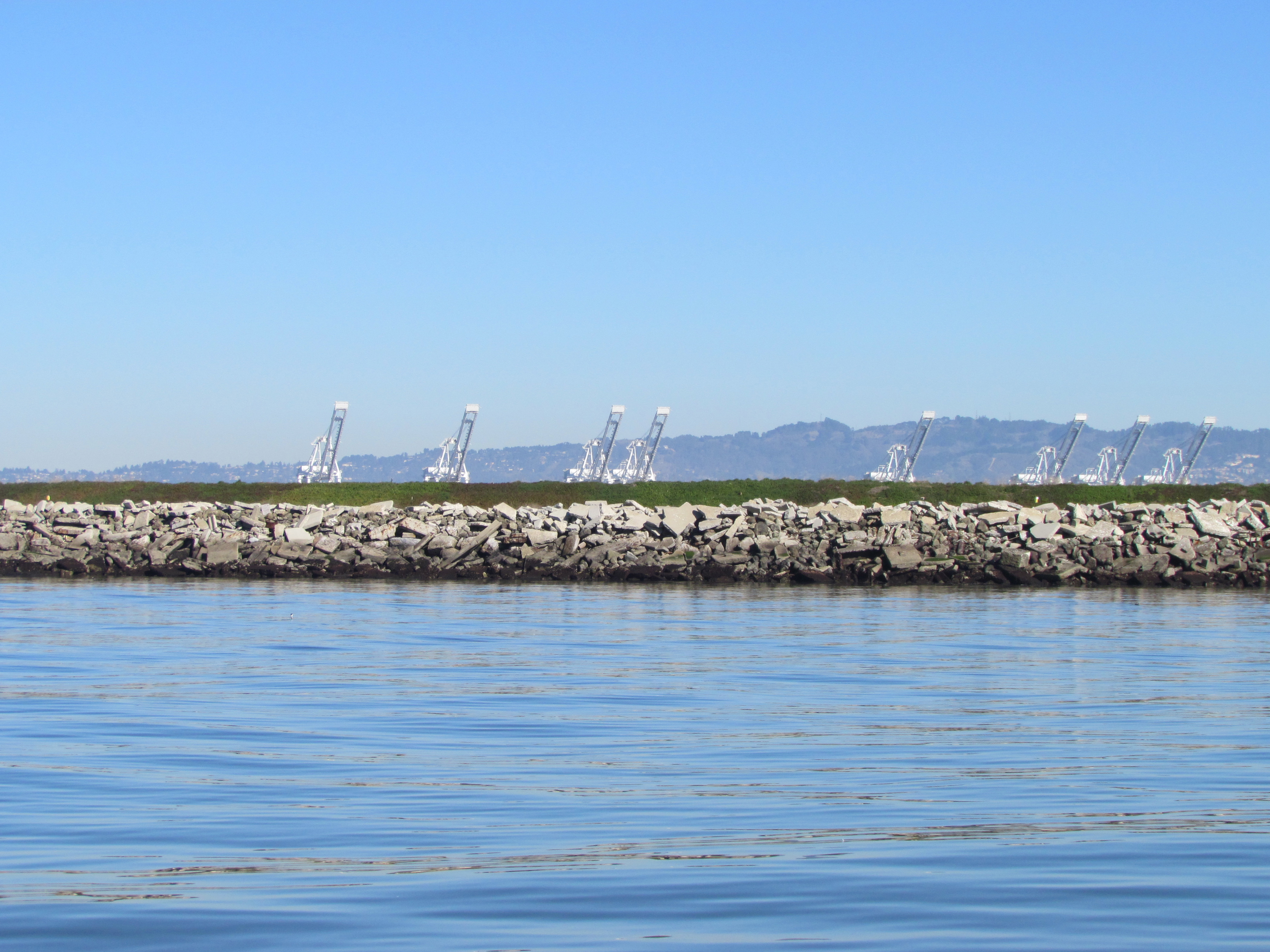
Navy graphic showing predicted movement of embankment berm into San Francisco Bay during an earthquake. Click on image to enlarge.Navy graphic depicting position of embankment berm at Bay shoreline following a catastrophic earthquake. Click on image to enlarge.Southwestern shoreline of Alameda Point at Site 2 landfill. Rock/cement riprap seawall, with green embankment berm above. Looking north toward Port of Oakland.
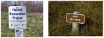
The Navy removed a perimeter security fence from their plans following objections from regulators and the public. “Navy’s design and [Superfund] requirements for this project do not preclude future use of the site for limited public access or passive recreational purposes,” said the Navy. Simple “Habitat Restoration Project” and “Stay on trail” signs were deemed adequate.
In an unusual move, the Navy offered the Restoration Advisory Board the opportunity to select the new vegetation that will anchor the 60 acres of clean soil. In the fall of 2013, the Navy will seed the new soil with 13 native grasses, most of them flowering. The Navy has permanently removed the 12-foot high embankment on the eastern, inland side of the landfill site, which will make the grassland visible from the mixed-use area.
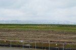
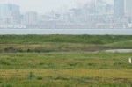
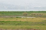
The 30-acre wetland area on Site 2 was not contaminated, but will receive improvements to the quality of several acres. The culvert connecting the wetland to San Francisco Bay will be regularly inspected and permanently protected.
Bare soil is where the eastern embankment used to be.
Site 2 landfill with eastern embankment removed.
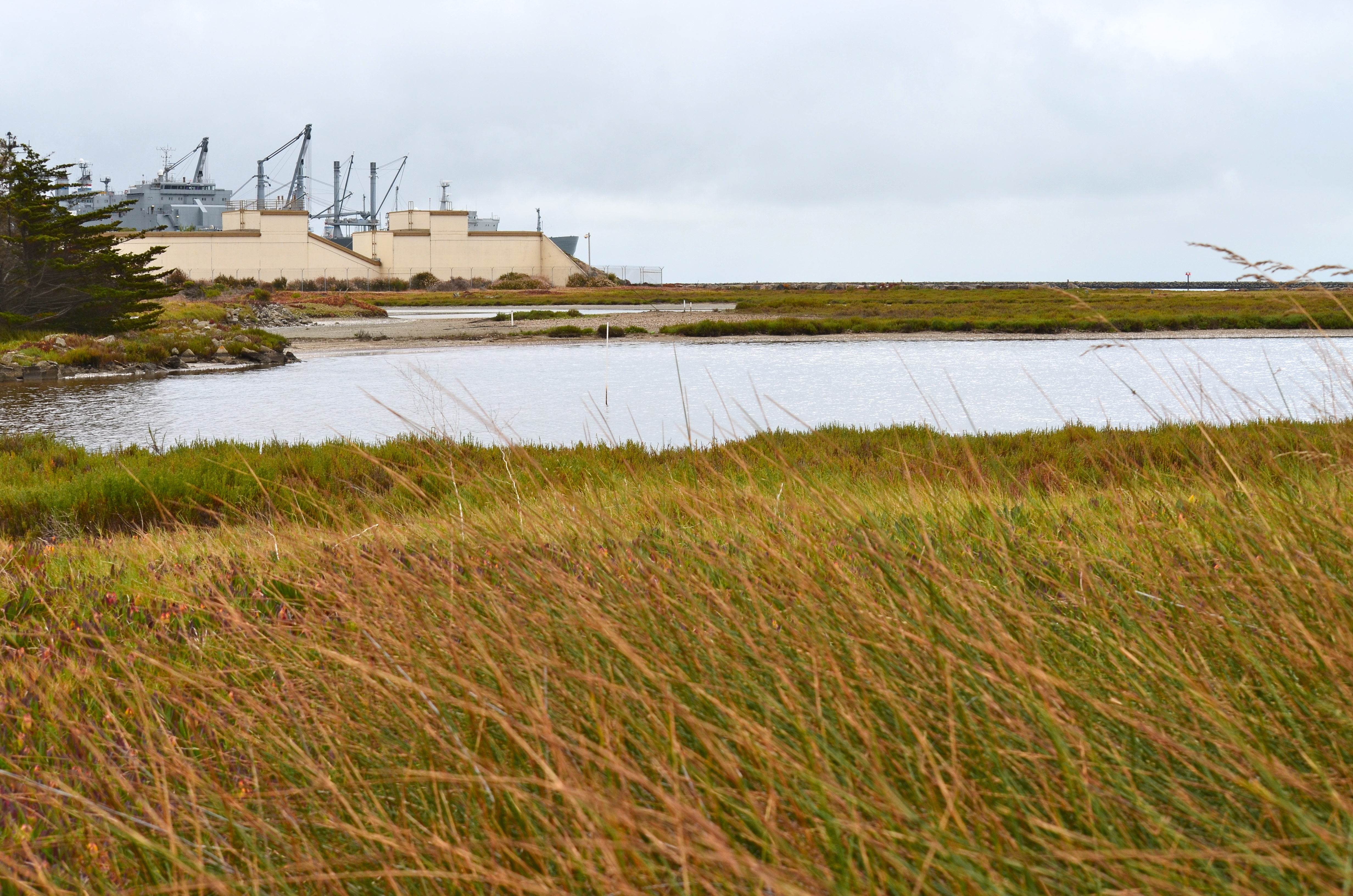
West Beach Wetland on southwestern Alameda Point. San Francisco in background.
West Beach Wetland with San Francisco Bay in the background. Part of wetland is connected to the Bay via metal culvert.
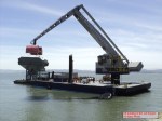
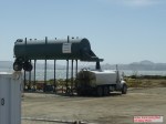
Off-loading of the soil hopper. US Navy Photo.
Off-loading of soil from barge to the soil hopper. US Navy Photo.
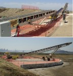
Soil conveyor at Site 2. US Navy Photo.
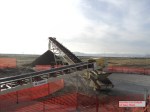
Imported soil stockpile. US Navy Photo
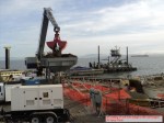
Water truck being filled. US Navy Photo.
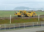
Site 2 grading equipment. US Navy Photo.
Eastern (inland) embankment at Site 2 being removed. US Navy Photo.
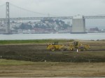
Loading trucks with Site 17 (Seaplane Lagoon) dredge spoils that were cleared as non-hazardous and stockpiled on the runway north of Site 2. US Navy Photo.
Site 2 wetland mitigation plan. US Navy map.
Site 2 trail signage. US Navy images.
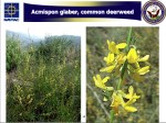
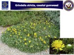
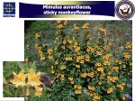
One of the native grasses to be hydroseeded on Site 2 in the fall of 2013.
One of the native grasses to be hydroseeded on Site 2 in the fall of 2013.
One of the native grasses to be hydroseeded on Site 2 in the fall of 2013.
One of the native grasses to be hydroseeded on Site 2 in the fall of 2013.
One of the native grasses to be hydroseeded on Site 2 in the fall of 2013.
The endangered least terns have returned. Committed volunteers prepare and maintain this unique site during the non-nesting season. The public can see the fruits of their work on June 15.
2013 maintenance work began on January 13th by clearing weeds from the outer perimeter of the nesting area. The terns need a clear view of their surroundings to feel comfortable that predators are not lurking nearby. Trimming vegetation near the nesting area is a high priority on work party checklists.
January work party
Volunteers were at the site again in February, March, and early April prior to the terns’ mid-April arrival. Tasks included replacing deteriorated plastic mesh along the base of the fence around the nesting site. The plastic mesh keeps chicks from wandering out through openings in the chain link fence. The chain link fence is there to keep out predators, and to keep out rabbits that might easily trample eggs.
Replacing black mesh “chick fence.”
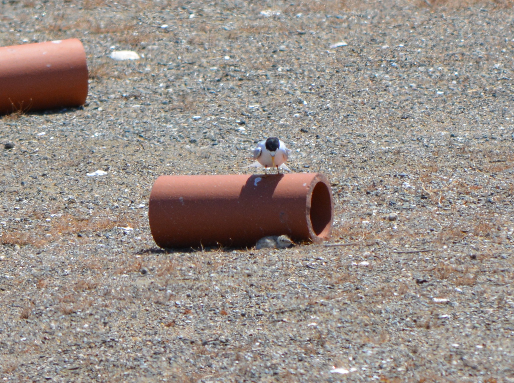
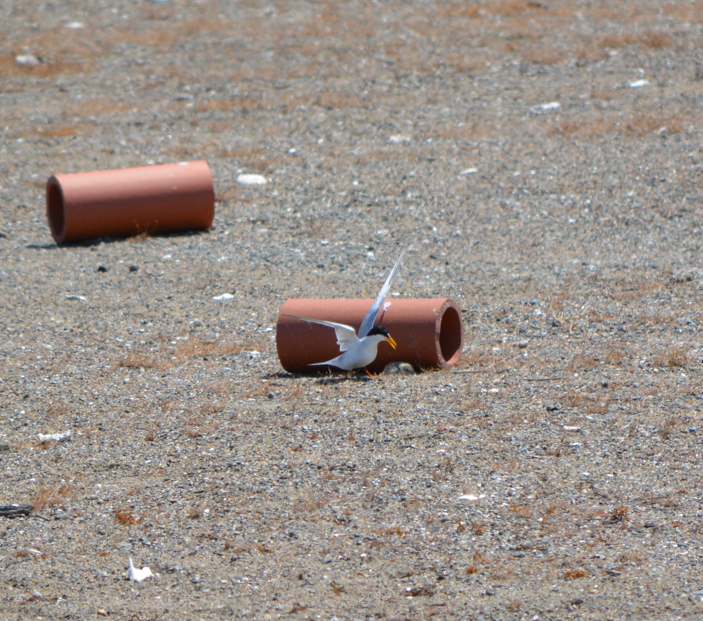
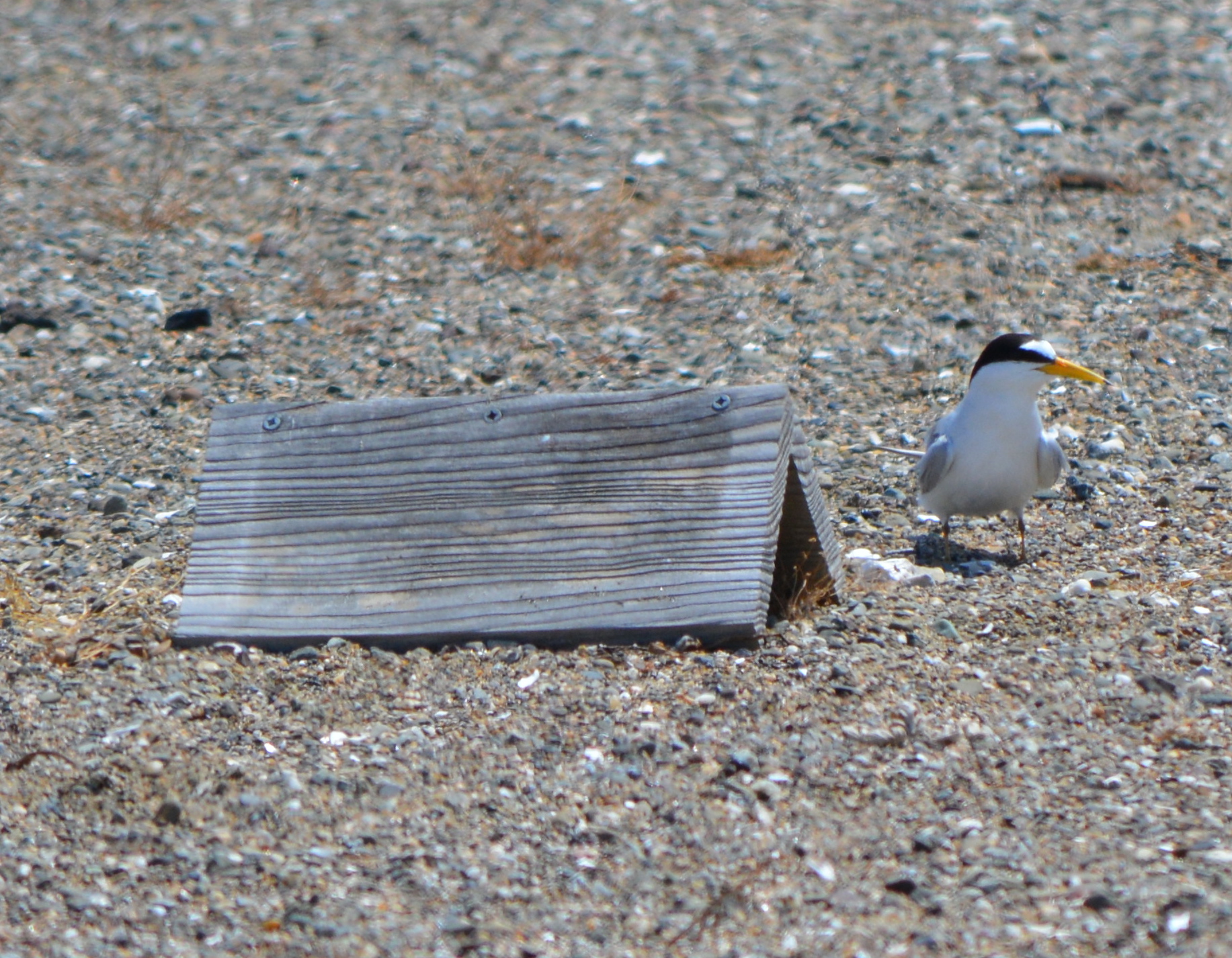
Another of set of tasks involves randomly placing wooden A-frames and half-round clay tiles that serve as shelters for the chicks from predators like hawks. One of the senior volunteers has been working to help the terns since the base closed. This year he brought 48 wooden chick shelters that he made at his home. Another task is the distribution of oyster shells that make it harder for flying predators to distinguish where the chicks are located.
Going for another load of oyster shells to distribute on the nesting area.
The number of volunteers ranged from 12 to as many as 30 each month. Among the volunteers this season were members of the Tau Beta Pi engineering fraternity at UC Berkeley, which has been sending volunteers for many years, and members of the Encinal High School Key Club.
Setting out the chick shelters.
Volunteers will return in September after the terns are gone. They will gather up the A-frames, clay tiles, oyster shells, and the numbered plaster markers that the US Fish & Wildlife Service uses to keep track of nesting success. Picking up the “tern furniture” allows for weed control and periodic grading of the sand and gravel.
During May, June, and July, another set of volunteers participate in the “Tern Watch Program.” Volunteers are trained in recording observations as they watch from their vehicle near the nesting site. A cinder block grid system helps in recording feeding activity, among other things. If predators are threatening the colony, the volunteers alert the Fish & Wildlife Service in the office nearby.
Work parties, organized by Golden Gate Audubon Society: ContactJoyce Larrick at jmlarrick@yahoo.comNext work party is the second Sunday in September.
Return of the Terns tours
On June 15th, the general public gets an opportunity to observe the nesting activity of the terns during a bus tour to the site. The tours leave from Crab Cove Visitor Center in Alameda.Registrationand a fee are required. More info is on theReturn of the Terns flyer.
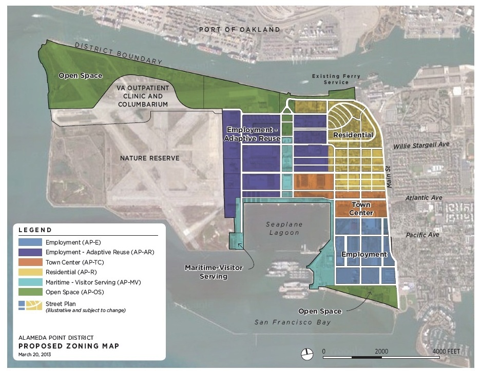
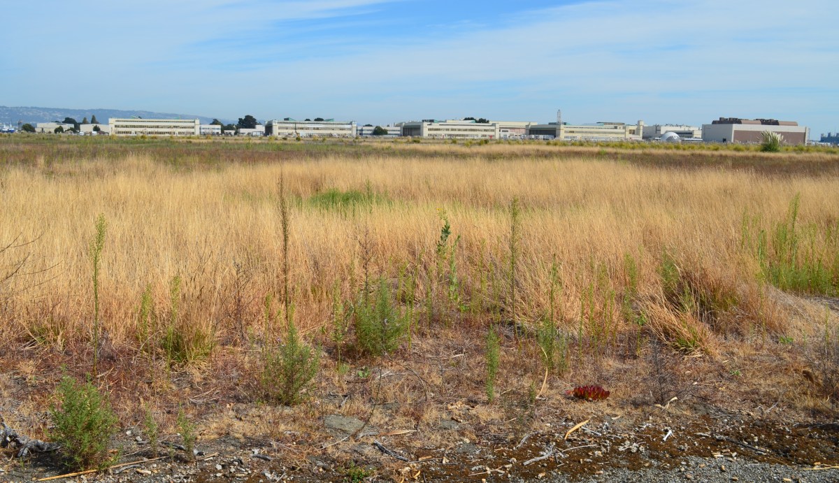
The Alameda City Council, on March 19, 2013, unanimously approved a resolution affirming support for a nature reserve at Alameda Point. The resolution calls for a zoning designation of “Nature Reserve” for the runway area formerly proposed for a national wildlife refuge.
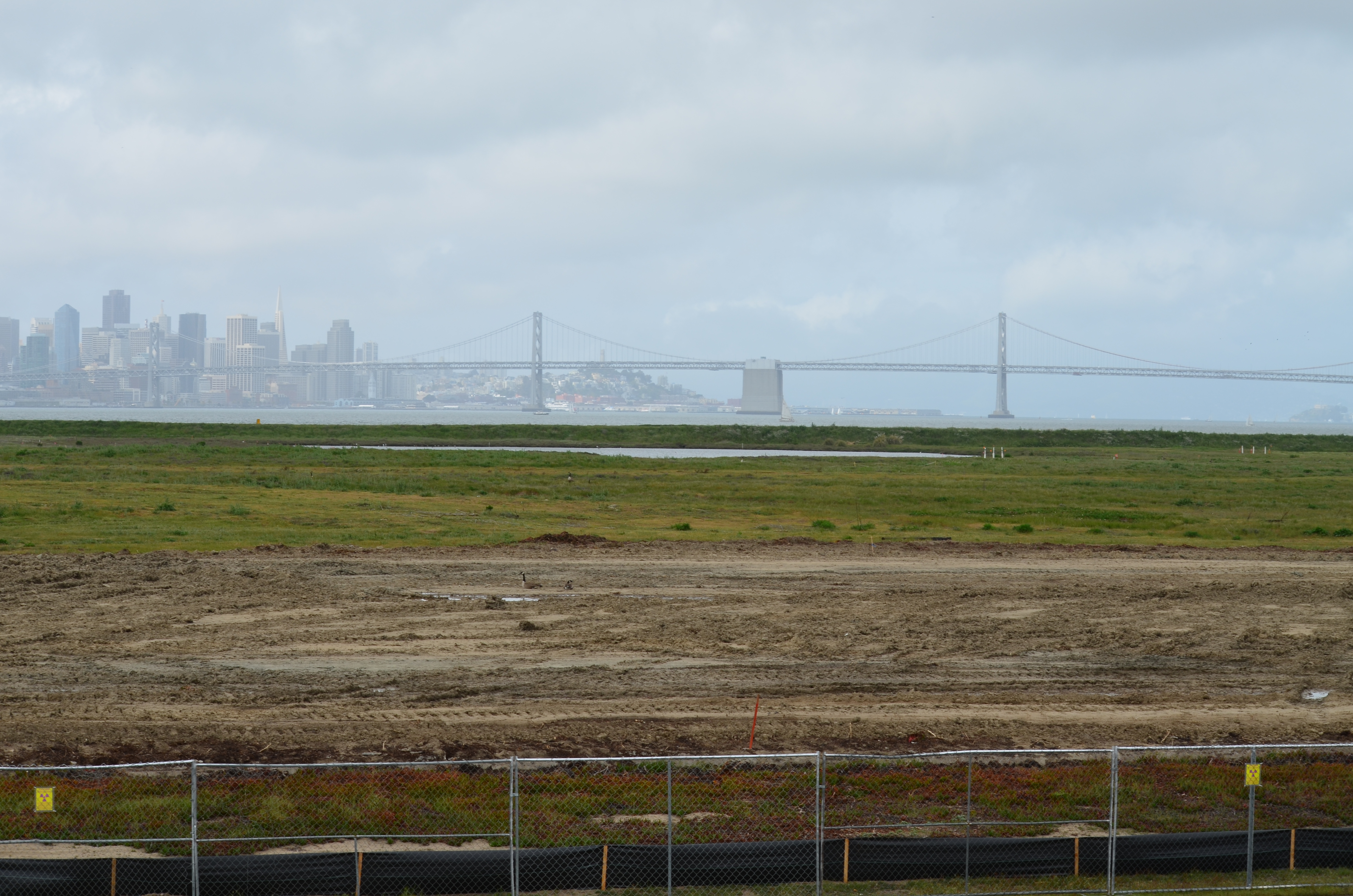
After an impasse was reached in negotiations between the Navy and the US Fish & Wildlife Service for creation of a national wildlife refuge in 2004, the property was offered to the Department of Veterans Affairs (VA). The VA plans to build an outpatient clinic and columbarium on 112 acres of its land, but the remaining 511 acres of VA land will remain undeveloped. The undeveloped area is where the endangered California Least Terns come to nest from early April to mid-August every year.
The city’s nature reserve zoning designation will not have any mandatory impact on the VA, but rather is intended to convey the continuing value that the community places on wildlife conservation at Alameda Point.
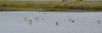
March and April 2013 bird sightings on the Nature Reserve at Alameda Point.
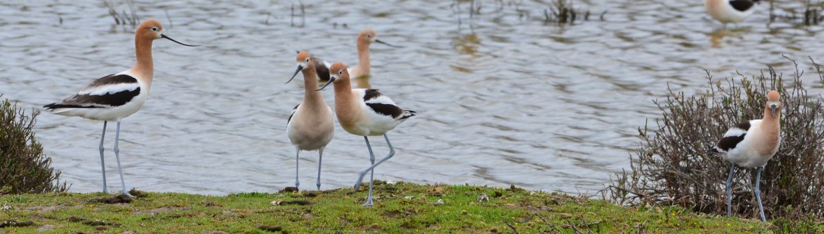
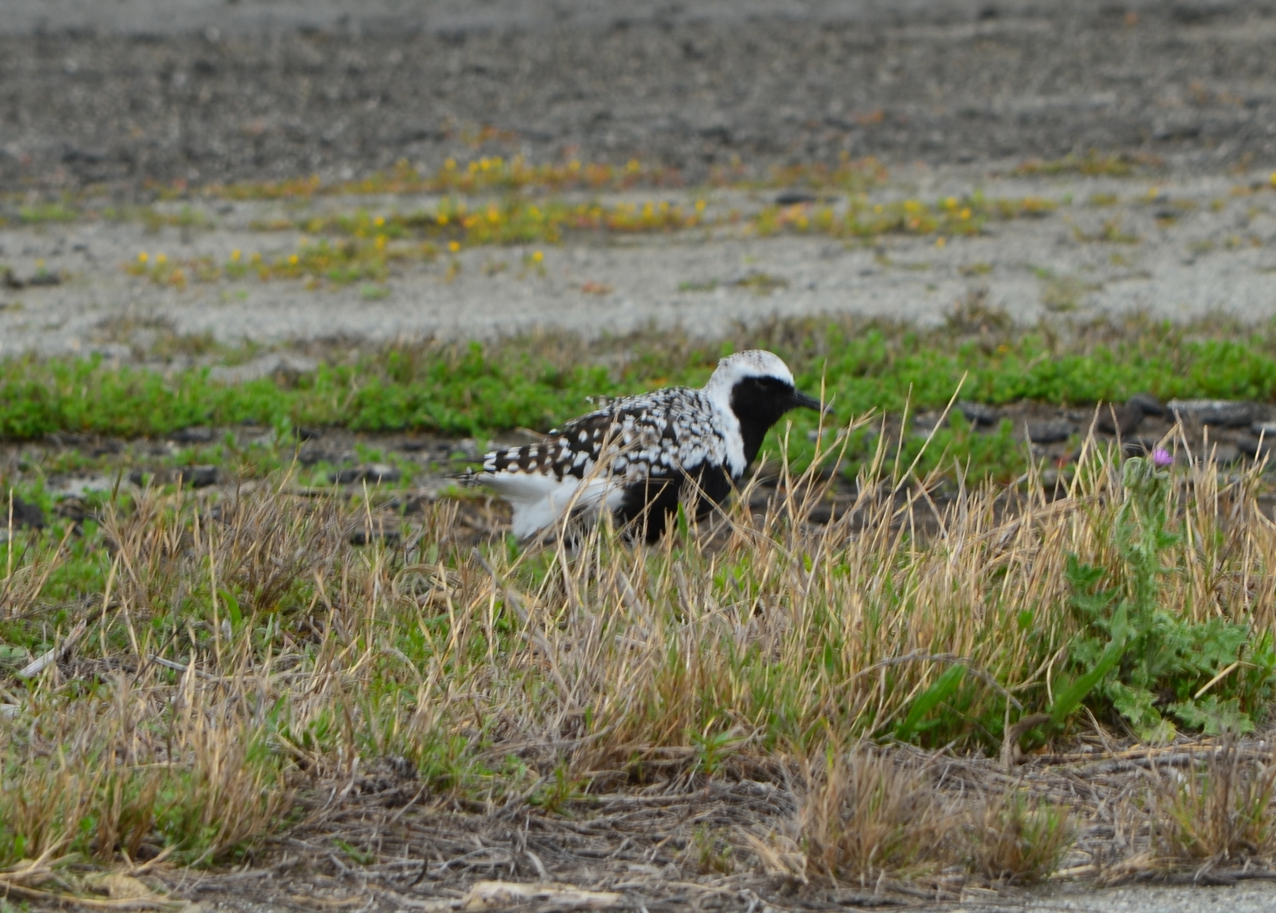
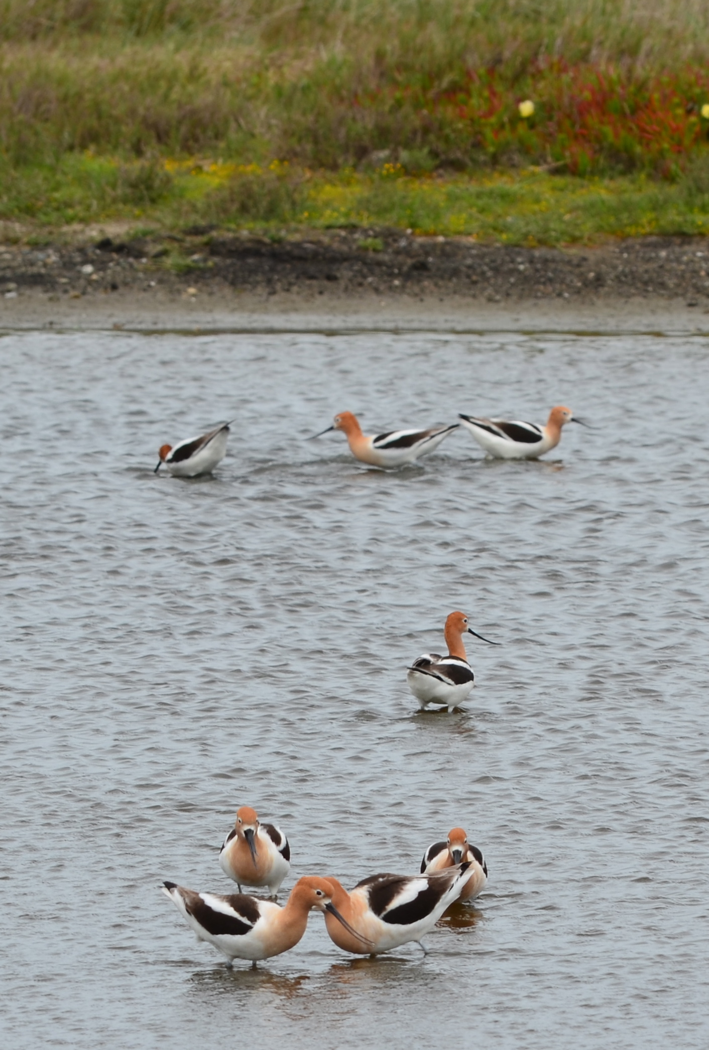
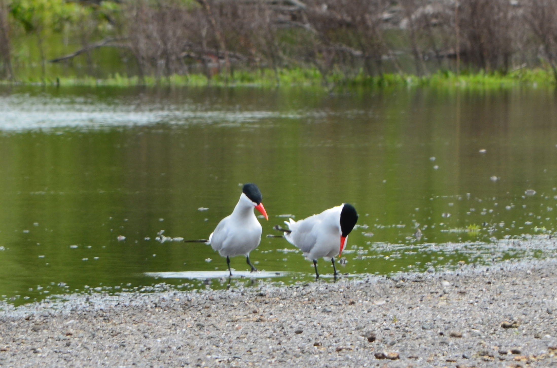
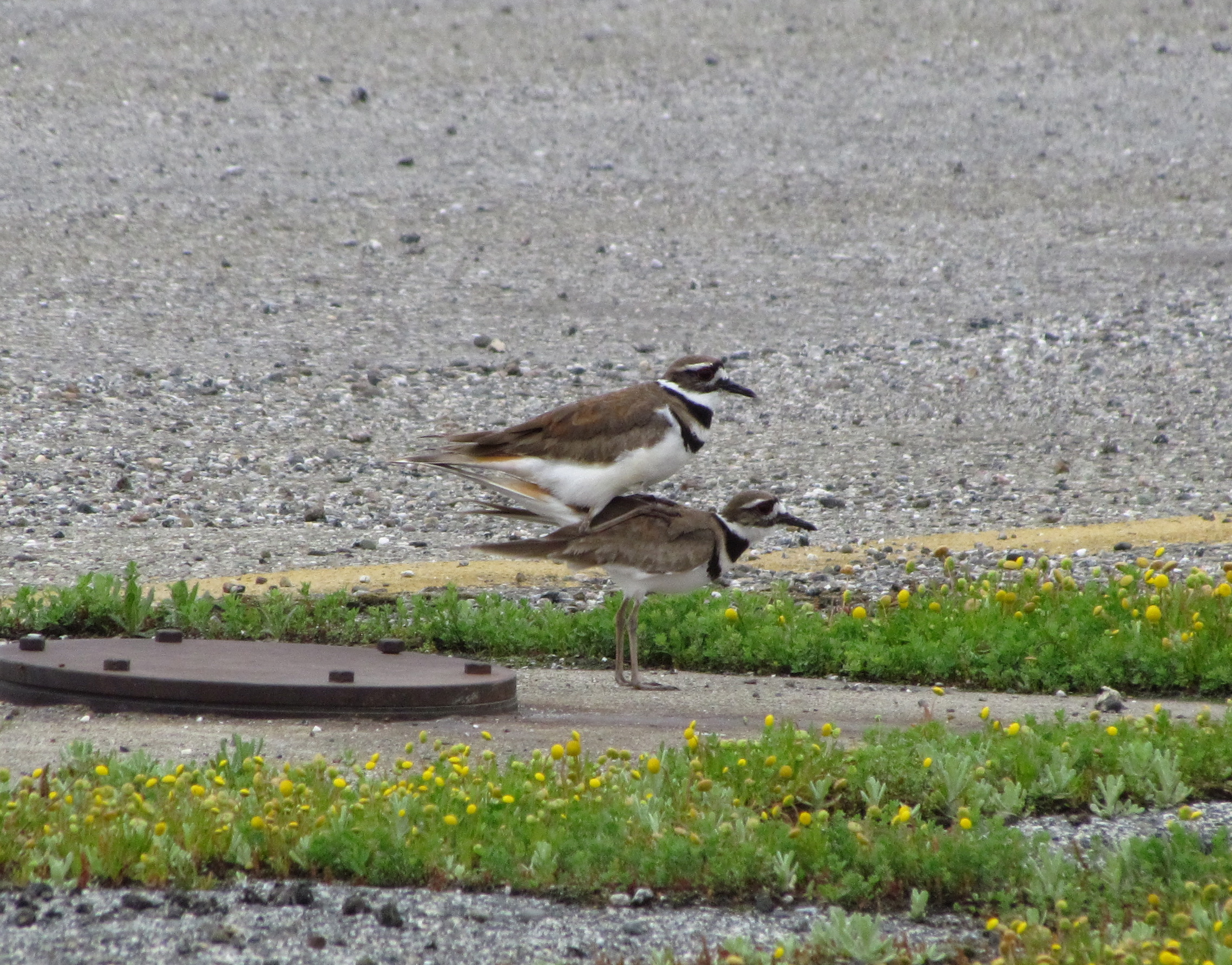
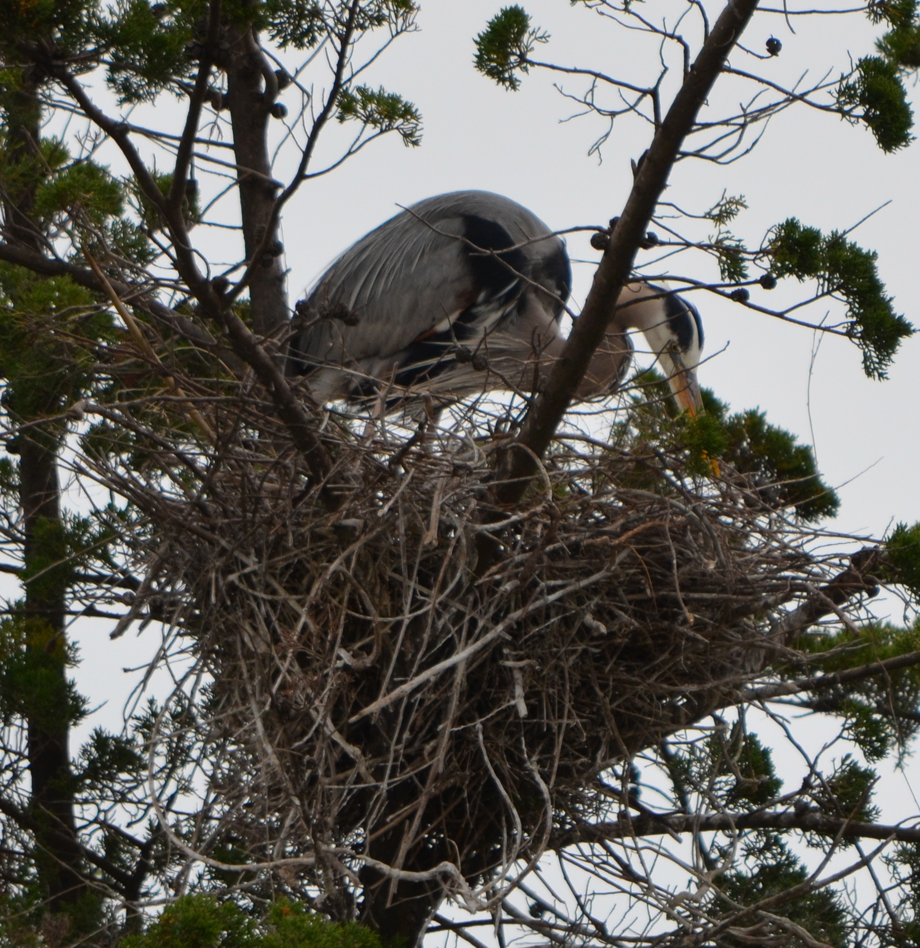
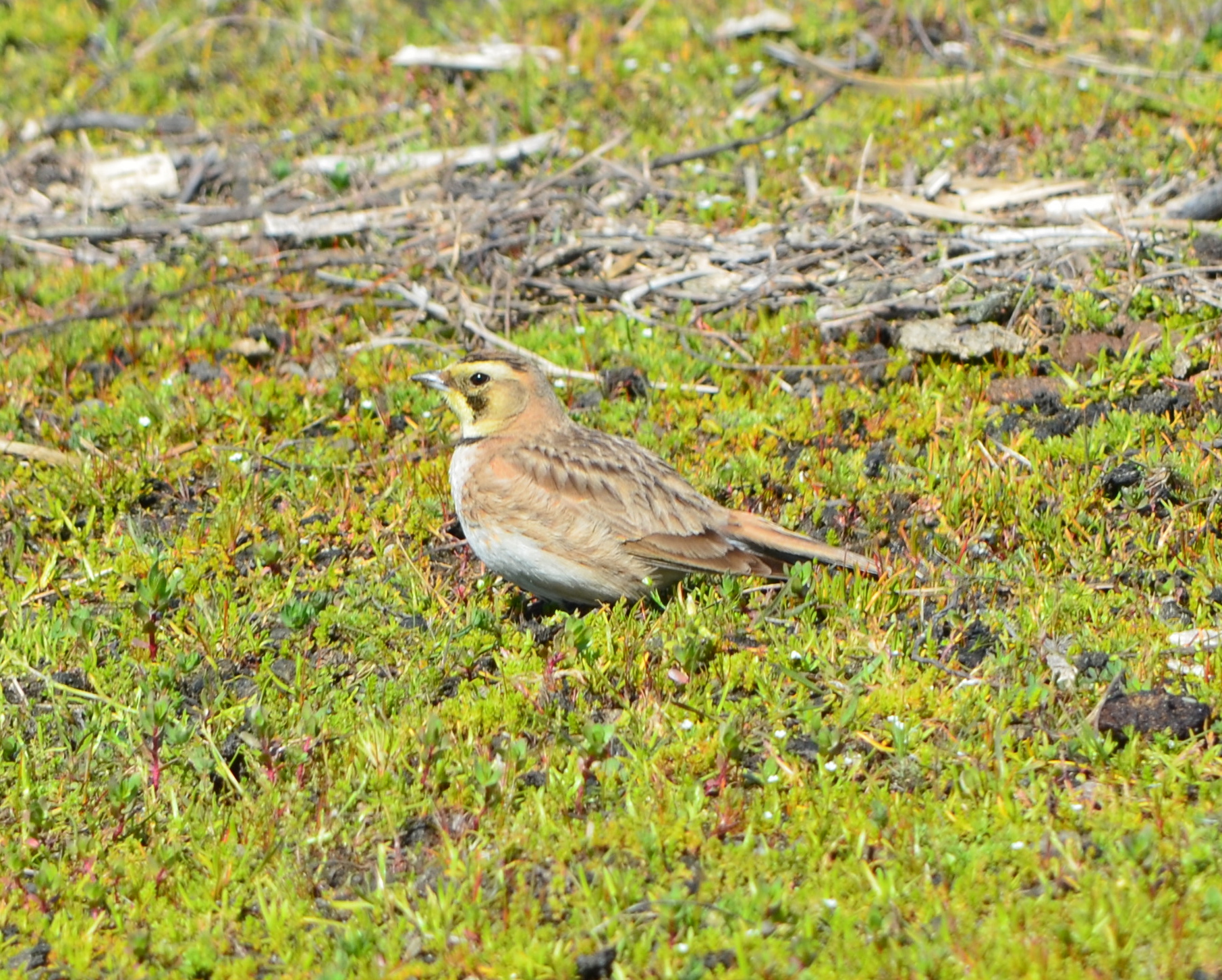
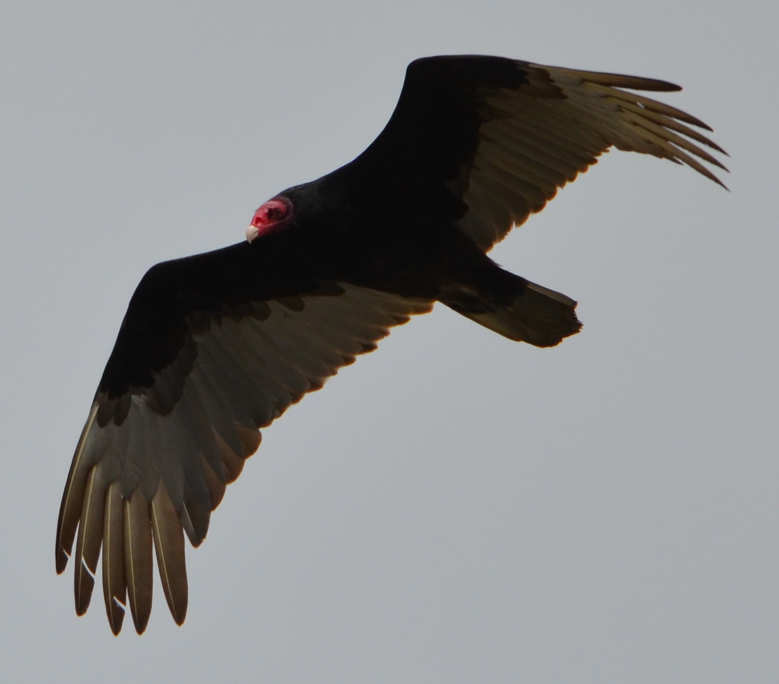
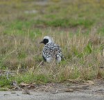
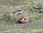
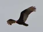
Black-bellied Plover. Summer breeding range is the north coast of Alaska and the Canadian Arctic. Seen here on the margins of seasonal wetland that the VA project will impact.American Avocets on seasonal wetland that will be covered by VA clinic/columbarium project. Can be replaced elsewhere on Nature Reserve.Caspian Terns next to seasonal wetland that will be impacted by VA project.Killdeer mating next to least tern nesting site. Killdeer often nest inside the least tern area. Killdeer are attracted to the Nature Reserve in abundance.Great Blue Heron nesting in a cypress tree in the Runway Wetland.Horned Lark foraging on grassland, with mate nearby.Turkey Vulture soaring over the reserve. Turkey Vultures feed on animal carcasses, such as rabbits that have been taken by hawks.
Black-bellied Plover soon headed on long migration to northern Alaska/Canada.
Black-bellied Plover in breeding plumage. Breeding area is northern Alaska/Canada.
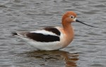
American Avocet
American Avocets on seasonal wetland at VA development site margin.
American Avocet on seasonal wetland at margin of VA columbarium/clinic site.
Caspian Terns near the willows.
Killdeer checking out potential nesting spot.
Great Blue Herons above two nests in cypress on Runway Wetland – Alameda Point Nature Reserve.
Below is the draft of a city council resolution that has been introduced to the council by councilmembers Stewart Chen and Tony Daysog. It is on the council agenda for 7 PM, Tuesday, February 19, 2013. The community is urged to attend and voice their opinion.
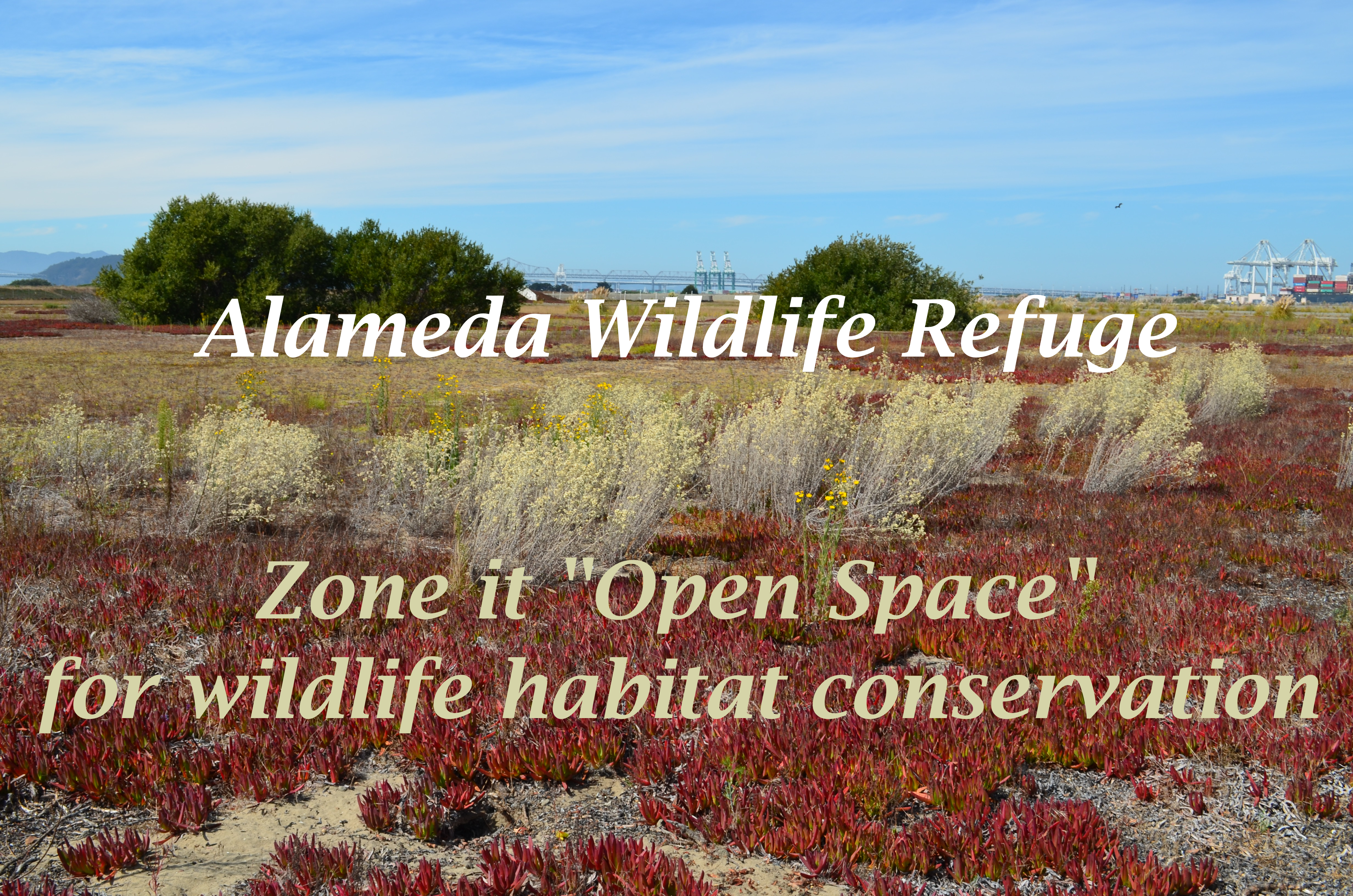
The refuge has been home, harbor, and safe haven for many species, even during use as a military base. As the property transitions to VA ownership, the protective status of “Open Space” and “Wildlife Refuge” should travel with it on into the future. It is a rare piece of earth on the Bay that should be available for nature to reclaim. Proper zoning will reflect the level of commitment we have toward environmental stewardship in an era of growing demands on ecosystems everywhere.
Draft – City Council Resolution
Resolution re-affirming support for creation of the Alameda Wildlife Refuge at Alameda Point
Whereas, the 1996 Community Reuse Plan identifies the southern two-thirds of the Naval Air Station-Alameda airfield for preservation as a wildlife refuge;
Whereas, the 1996 Community Reuse Plan stipulates that this area “would remain as open space to provide for the preservation of wetlands, sensitive species, and regional open space uses”;
Whereas, the City of Alameda General Plan was amended in 2003 to add Chapter 9 on Alameda Point, which includes support and encouragement for funding and implementation of the U.S. Fish and Wildlife Service’s Comprehensive Conservation Plan for the Alameda National Wildlife Refuge;
Whereas, the General Plan amendment supports “a system of trails that provide public access to and within the Wildlife Refuge” that balances natural conservation with public access and education;
Whereas, the General Plan amendment supports the creation of education facilities and programs, similar to other conservation areas such as the Elsie D. Roemer Bird Sanctuary;
Whereas, the wildlife refuge is home to one of the most successful nesting sites in California for the endangered California Least Tern;
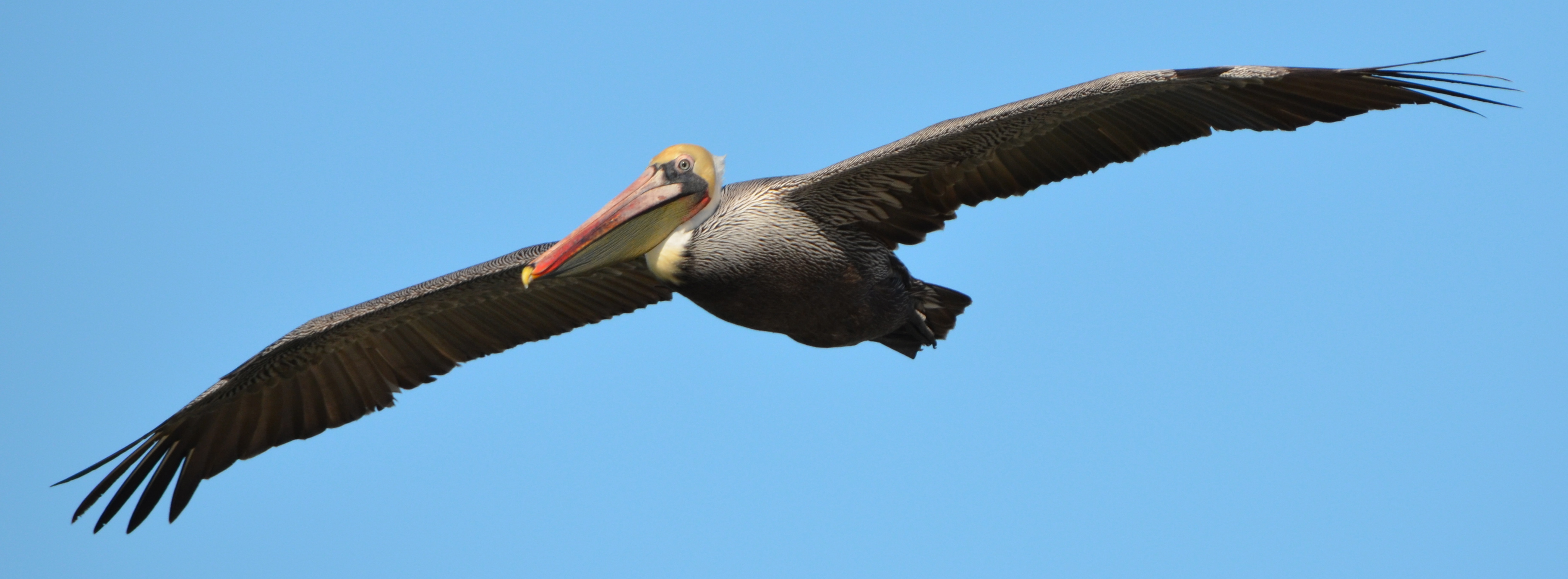
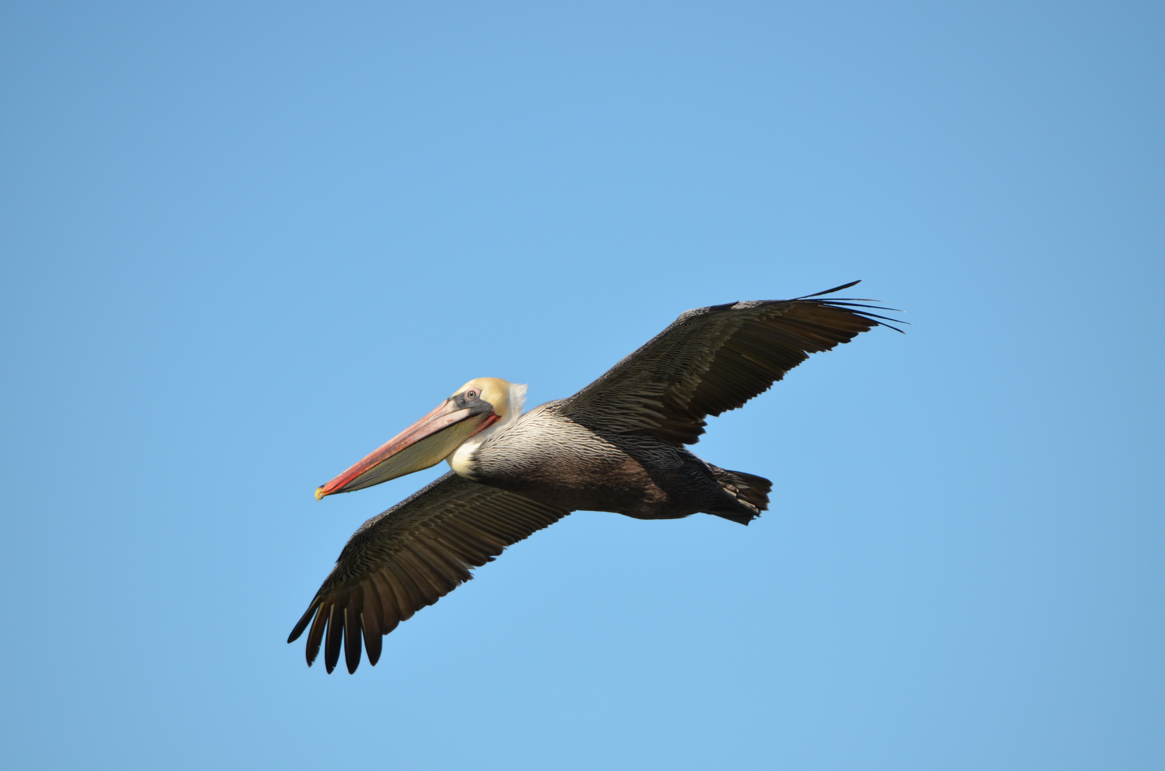
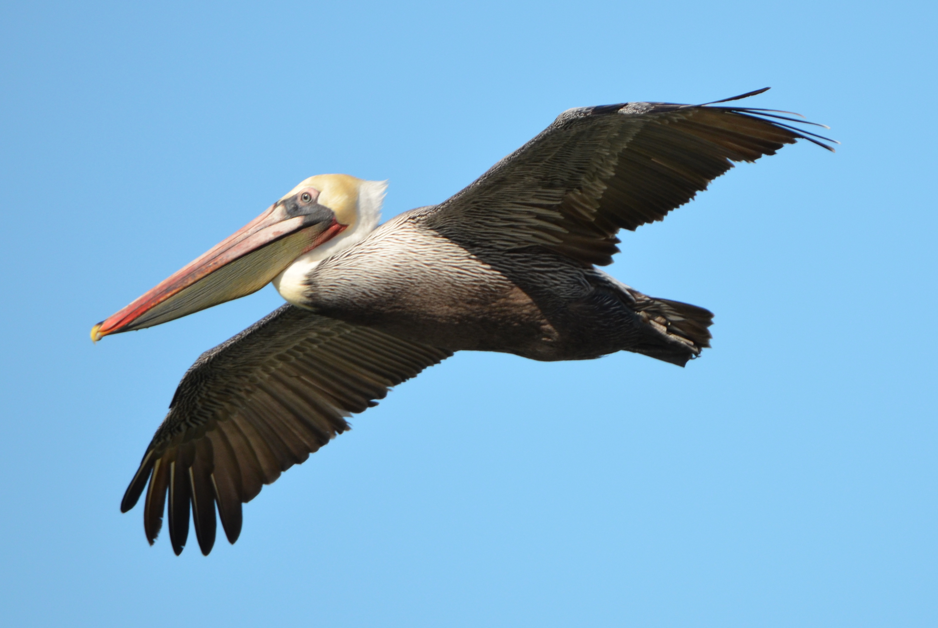
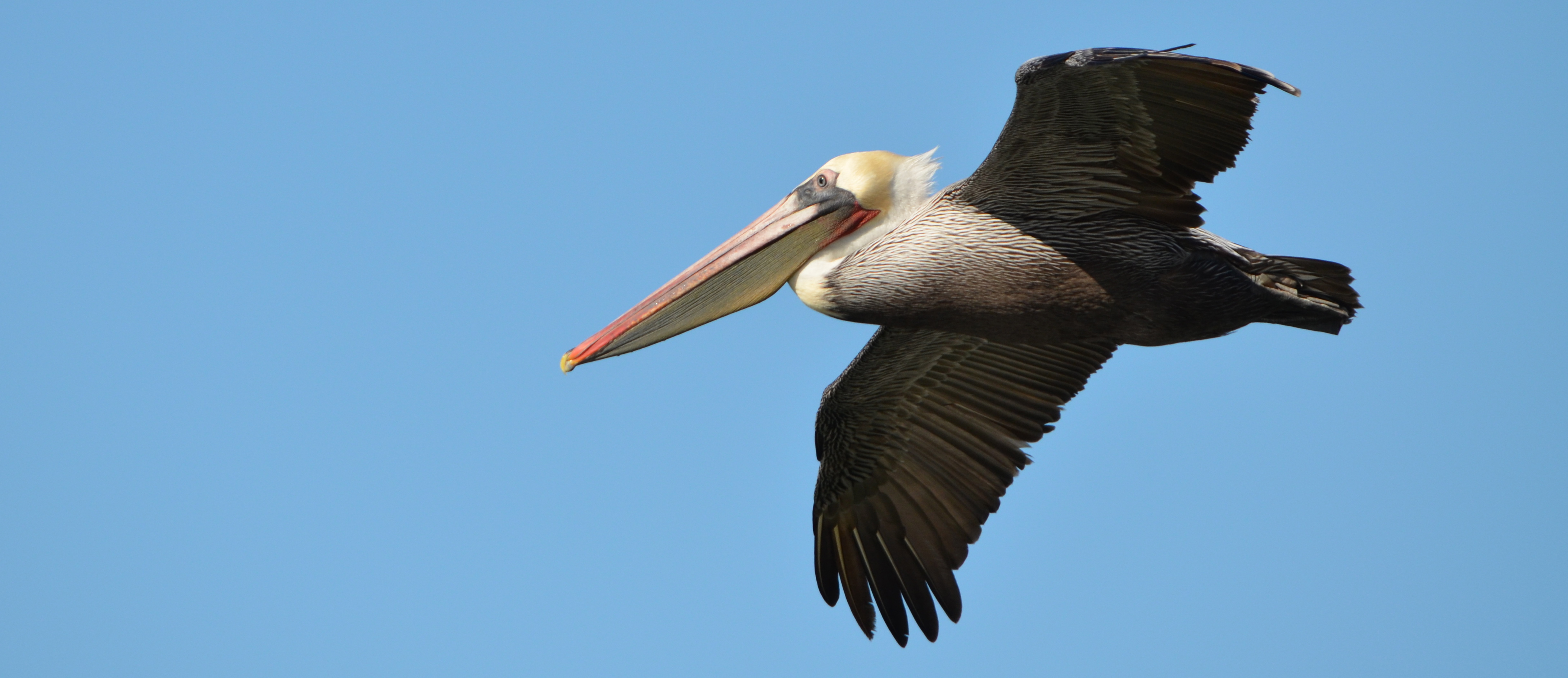
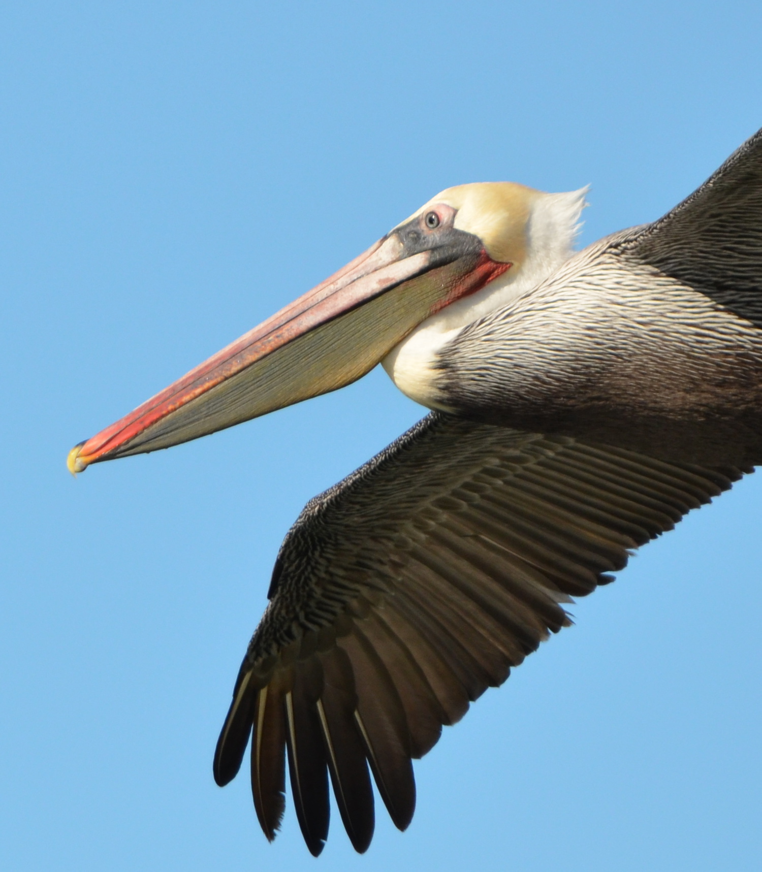
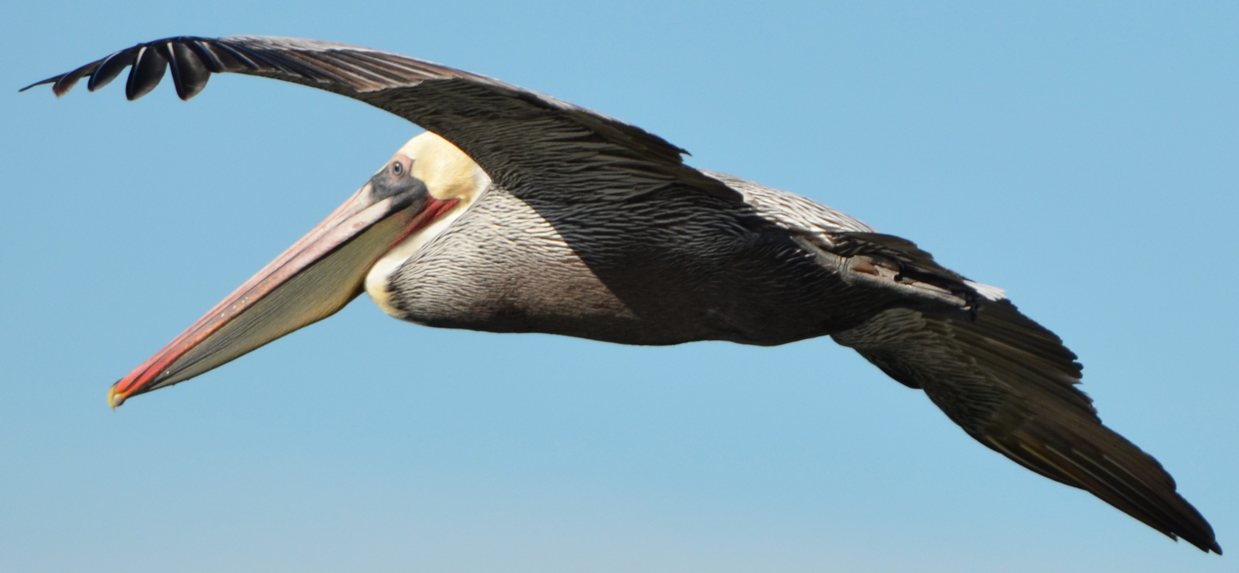
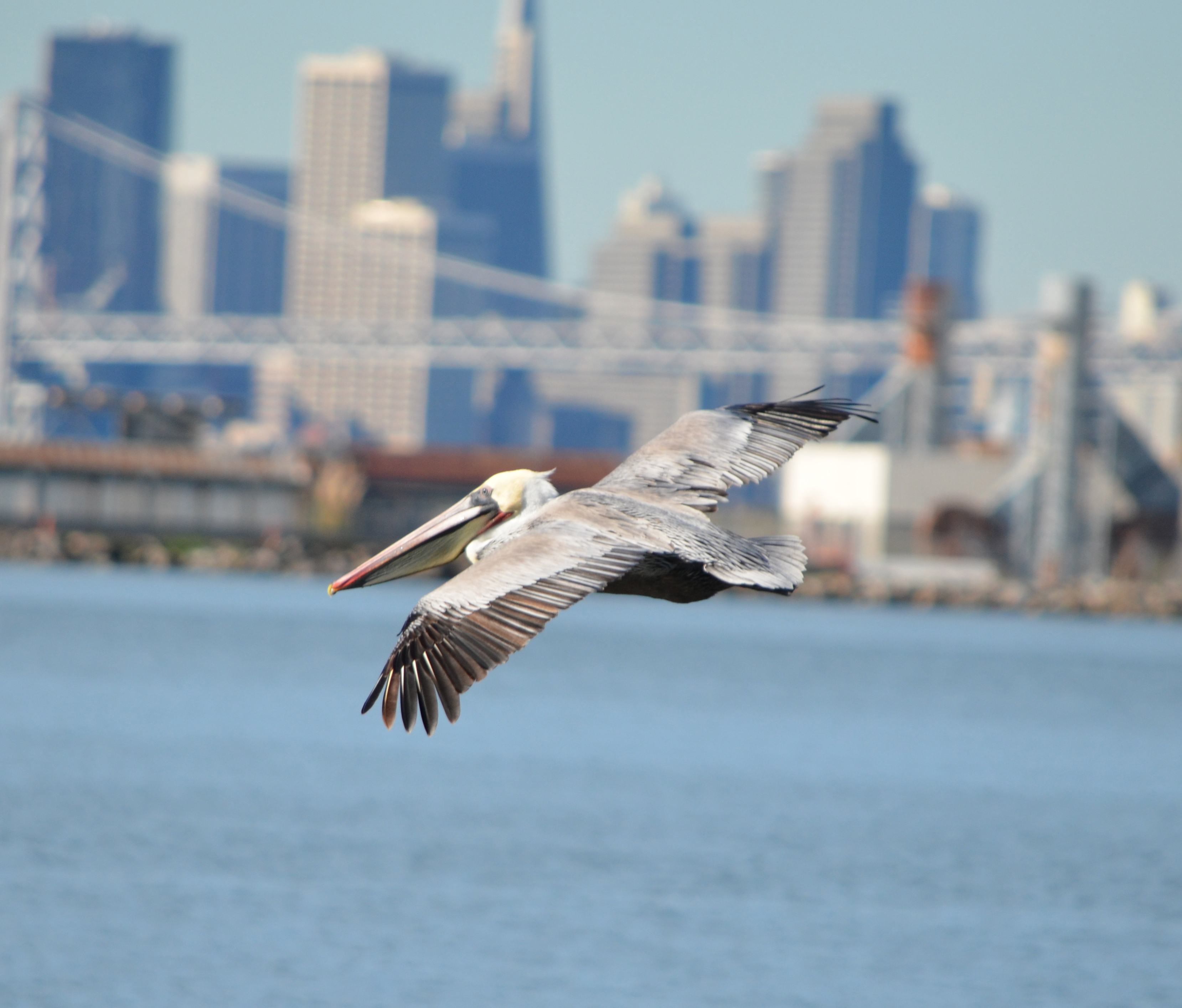
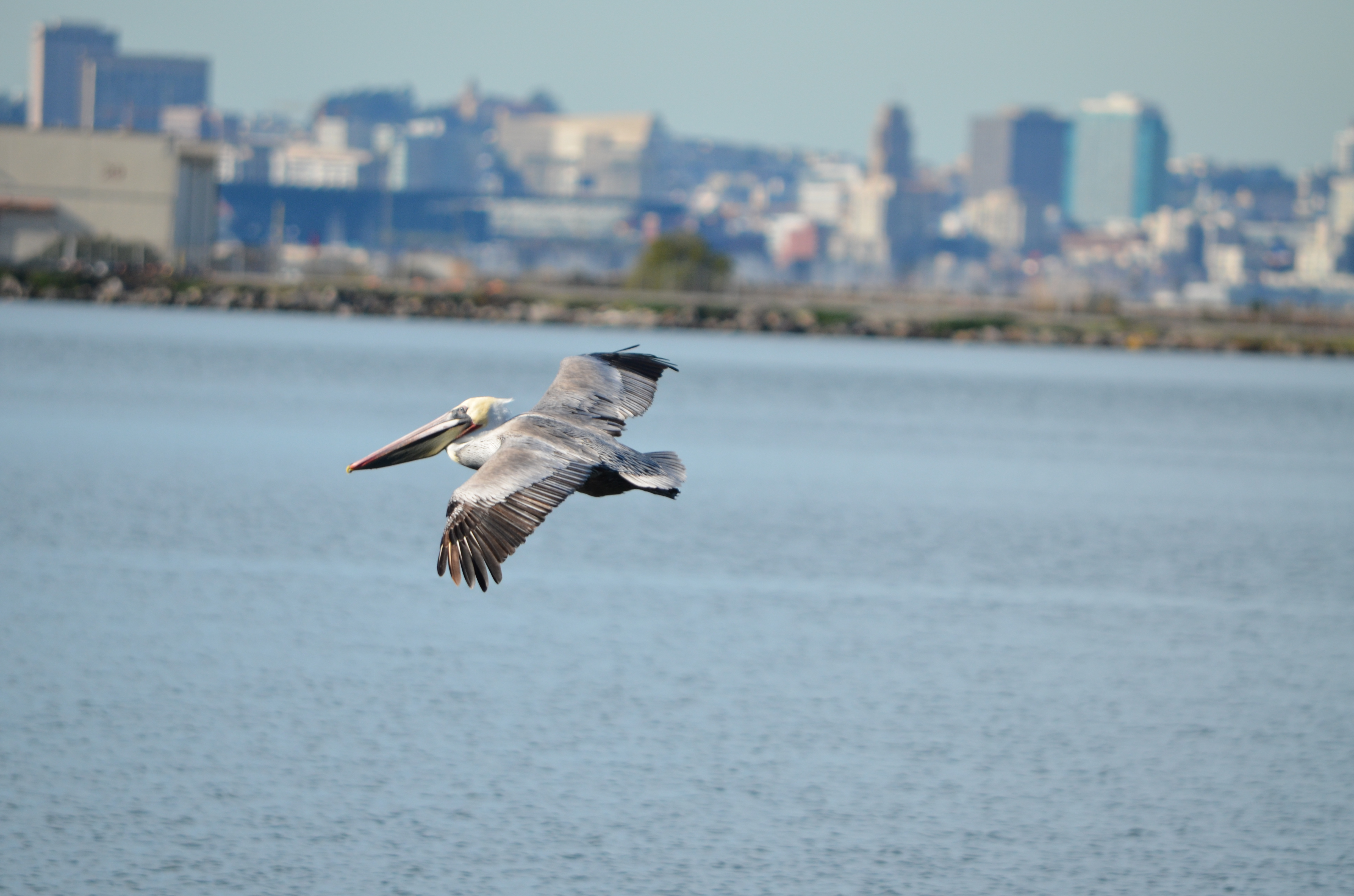
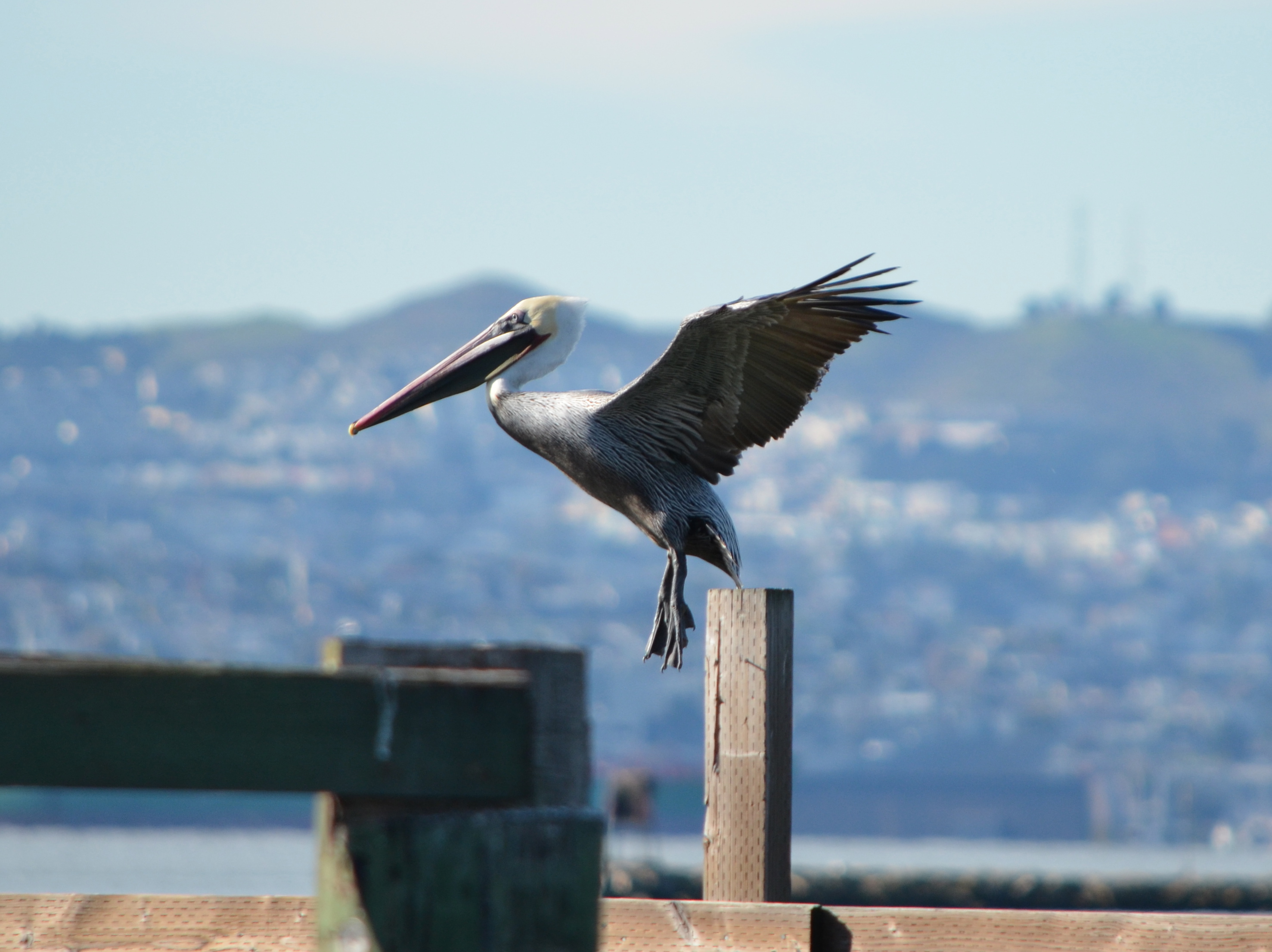
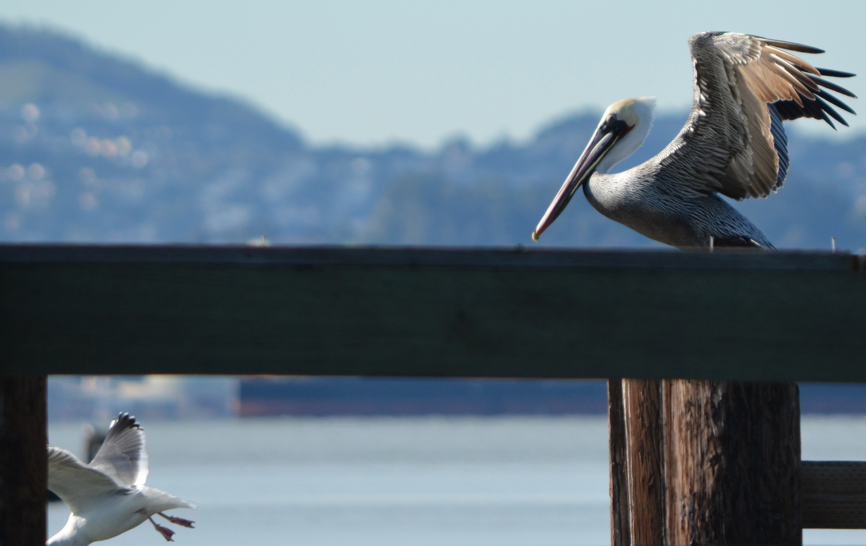
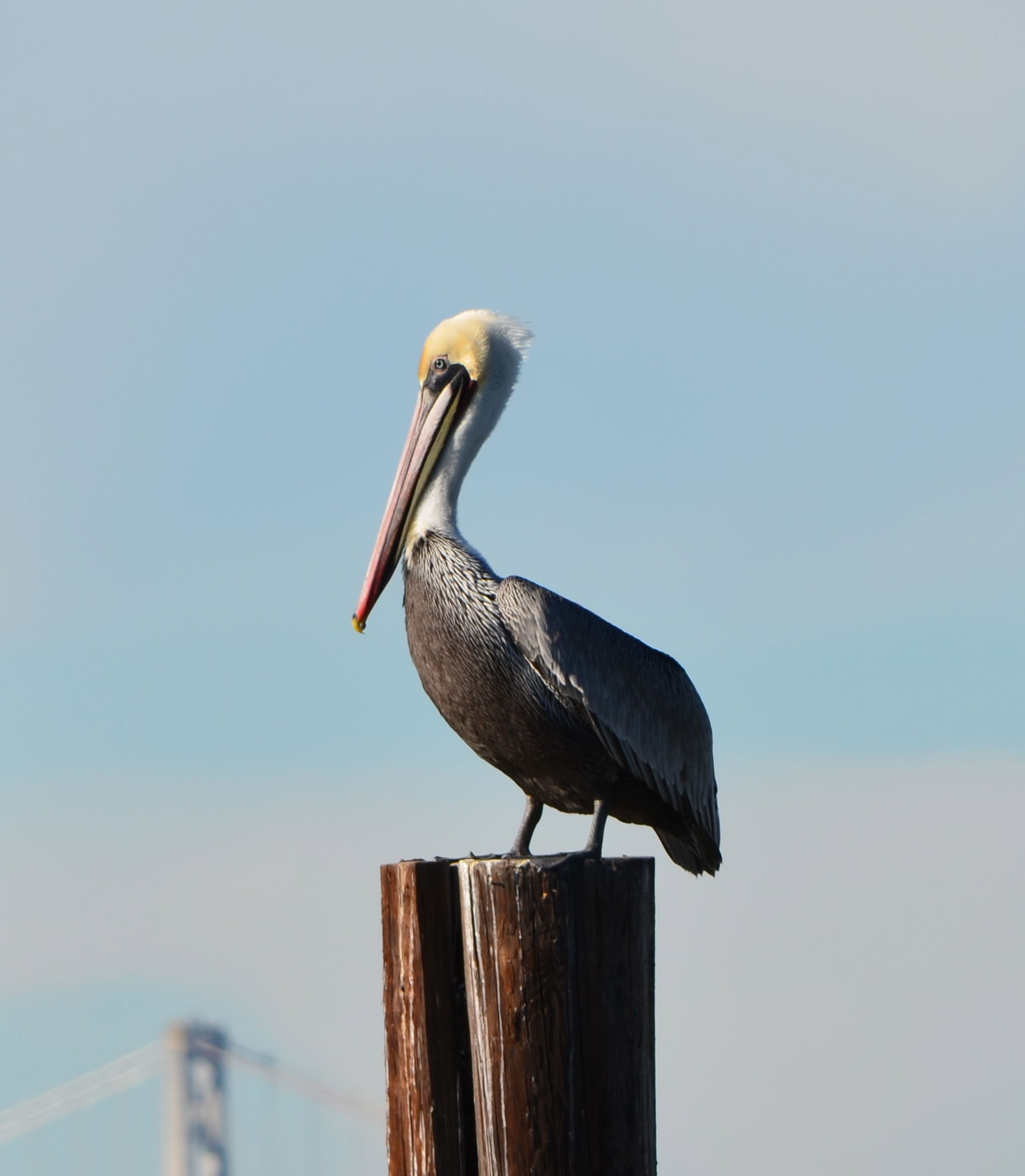
Whereas, Breakwater Island is part of the wildlife refuge vision in the 1996 Community Reuse Plan, and it is the only night roosting area of its kind in San Francisco Bay for California Brown Pelicans, which were only recently removed from the Endangered Species List;
Whereas, the wildlife refuge, and the entirety of Alameda Point and its adjacent waters, are subject to special restrictions for protection of the least terns by authority of the 2012 Biological Opinion issued by the US Fish & Wildlife Service, the responsible agency for enforcement of the Endangered Species Act;
Whereas, the 511-acre refuge area offers a rare and vast inner urban opportunity for public access and education, a respite and retreat from the built environment, introduction of native plant species, expansion of wetlands, and wildlife recovery and protection efforts;
Whereas, the Alameda Wildlife Refuge would complement the land uses contemplated for the mixed-use area of Alameda Point, as well as complementing the entire city and the Bay Area;
Whereas, numerous federal, state, and regional public agencies possess the experience and mission for collaboratively managing a wildlife conservation area;
Whereas, environmental cleanup and remediation will be completed by the Navy in compliance with federal and state environmental laws;
Whereas, ownership by the VA will ensure that potential environmental cleanup liabilities regarding the Site 2 landfill, and any other portion of the federal property, will be borne by the VA (unless retained by the Navy) regardless of the land uses;
Whereas, the wildlife refuge vision is compatible with, and complementary to, proposed plans for a VA clinic and columbarium;
Now be it therefore resolved:
The City Council of the City of Alameda re-affirms our commitment to and support for the creation of a wildlife conservation area known as the Alameda Wildlife Refuge at Alameda Point;
And be it further resolved that the adjacent waters of the Alameda Point Channel, and Breakwater Island, are to be included in the management plan for the refuge;
And be it further resolved that the City Council of the City of Alameda will support the zoning of the wildlife refuge property as “Open Space with a Refuge Overlay,” or similar conservation zoning designation, to promote the protection and implementation of the values and goals recited in this resolution.
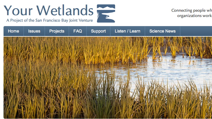
This interview with wildlife biologist Leora Feeney was done in 2008 as part of the San Francisco Bay Joint Venture’s “Your Wetlands” series.
Clickhere, or on image below, to access the podcast.
The only updates are that the Loggerhead Shrikes are no longer seen nesting on the western shoreline following cleanup work that was performed. And the Harriers have not been seen nesting at Alameda Point in recent years.
The refuge remains a unique wildlife habitat that deserves permanent protection.