Newly available funds from the 2014 Measure I school bond, as well as the expected growth in student enrollment, prompted Alameda Unified School District (AUSD) to submit a request to the Navy in April to acquire the vacant Island High School and Woodstock Child Development Center parcel on Singleton Avenue on the city’s West End. The Navy responded favorably.

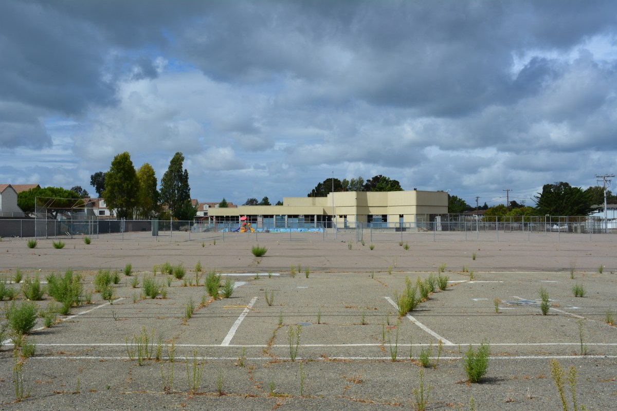
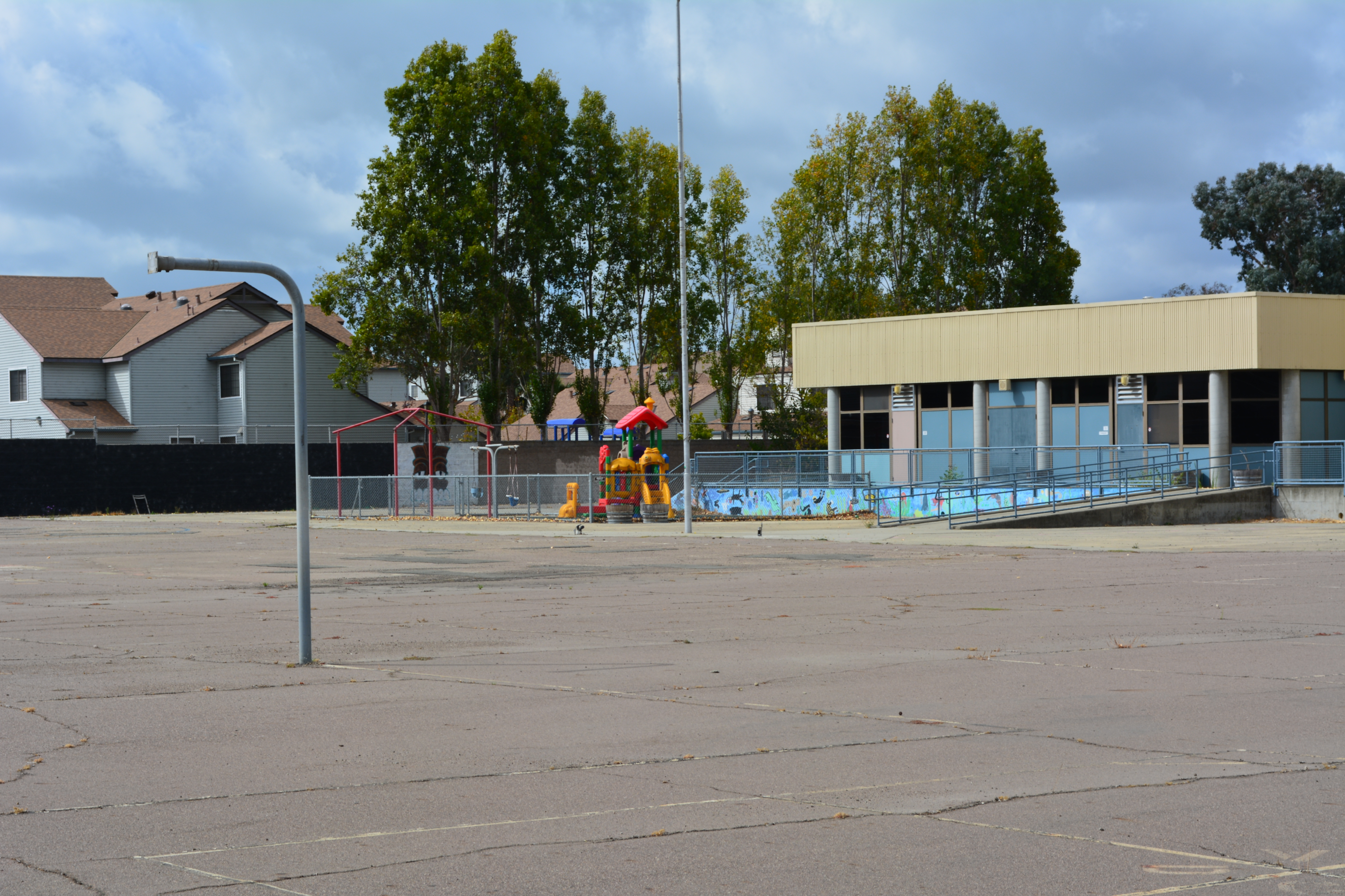
The school district previously leased the 5.9-acre parcel from the Navy at no cost. AUSD was slated to receive the two sites from the Navy under a previous application for a Public Benefit Acquisition. However, AUSD vacated the sites in 2010 and 2011 and withdrew their application due to the estimated hundreds of thousands of dollars required for upgrades to the sewer and water lines.
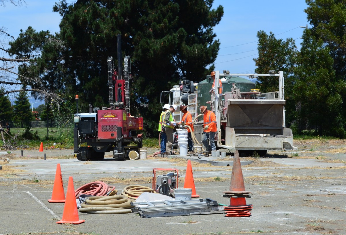
The school district has been resorting to creative desk shuffling in recent years to cope with a shortage of adequate space and lack of funds. One example given by School Superintendent Sean McPhetridge in the application to the Navy states, “One school has gone so far as to relocate a classroom computer lab into a former student toilet room to accommodate the growth of enrollment.”
Currently, the Woodstock Child Development Center and Island High School jointly operate on the site of the former Longfellow Elementary School. The acquisition of the property will allow the district to relocate those two programs back to Singleton Avenue where they previously operated.
In the application, Superintendent McPhetridge describes a veritable ripple effect of efficiencies that would ensue as a result of the acquisition. It would “open the former Longfellow Elementary School site and allow the transfer of other programs from other elementary schools currently in operation, and in turn, it would open classroom space at many existing elementary schools,” stated McPhetridge. “The transfer of programs from existing elementary schools to the former Longfellow Elementary School site would provide for the growth of students at their neighborhood schools.”
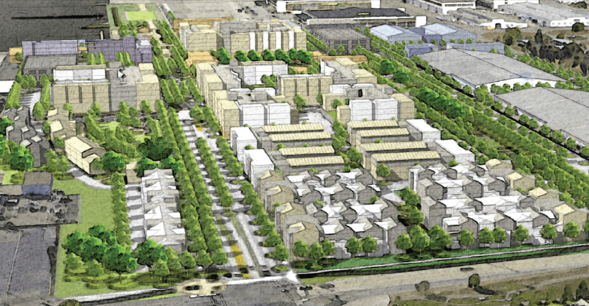
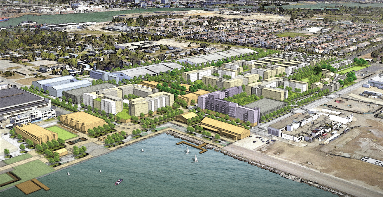
A 2014 demographic study projects that the school district will add approximately 1,000 students over the next 10 years, the majority of them on the west side of Alameda. Redeveloped Alameda Point and Alameda Landing are projected to produce approximately 600 students.
“The District has not committed to a full modernization of the buildings at this time, but is planning on committing the funds necessary to open both campuses and provide safe and updated facilities,” stated McPhetridge in the application.
The property transfer process for public benefit conveyances involves sending the parcel from the Navy via another federal agency, in this case, the Department of Education. “The U.S. Dept. of Education approved this transfer and is now waiting to get the title from the Navy,” said Susan E. Davis, Senior Manager of Community Affairs at AUSD. “Once that happens, the Department of Education will give the title to us.”
“We’re hoping that the campus will be open sometime in the 2017-18 school year,” said Davis. “Designing, getting state approval, and doing the construction on school buildings can take some time.”
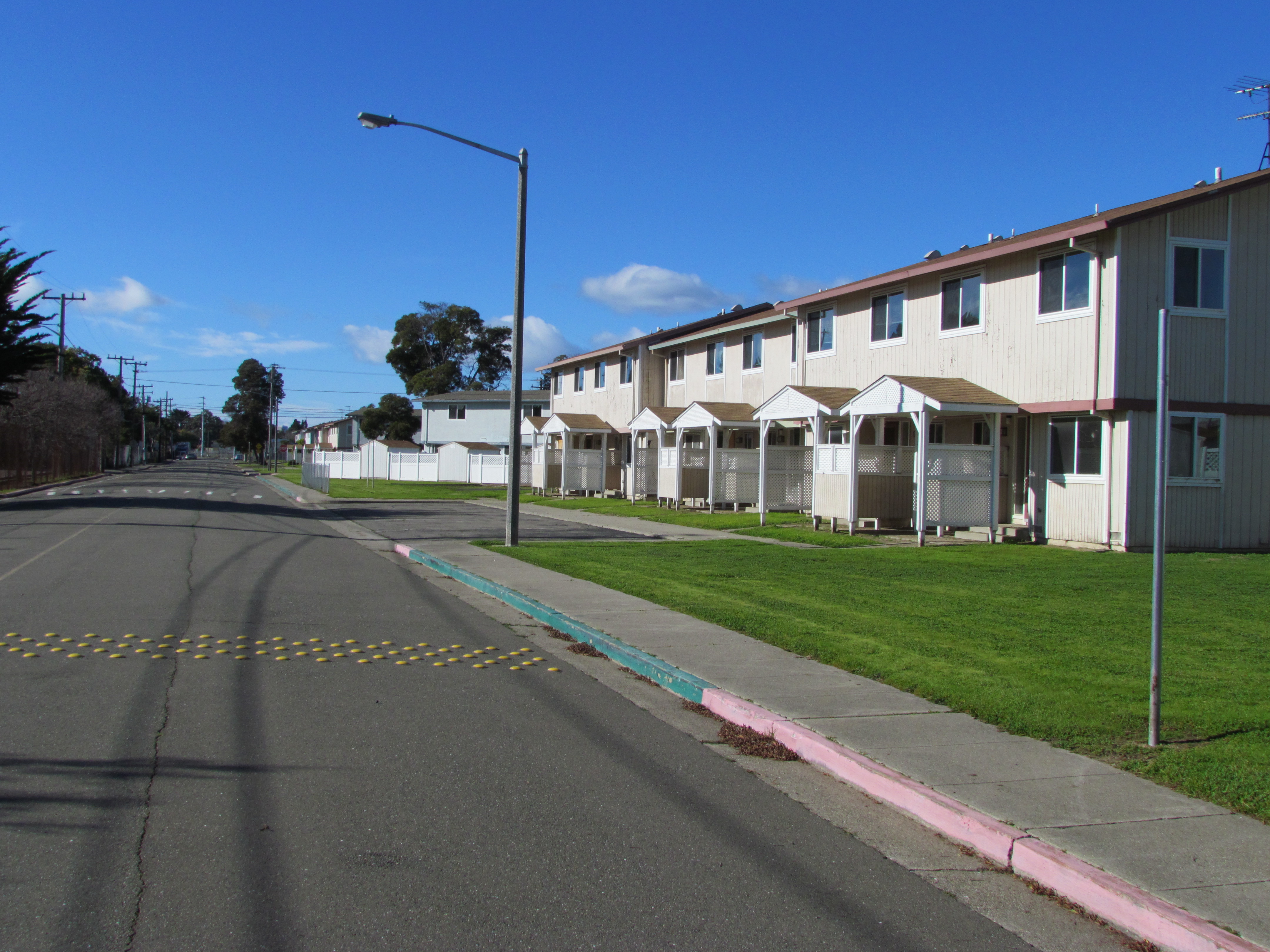
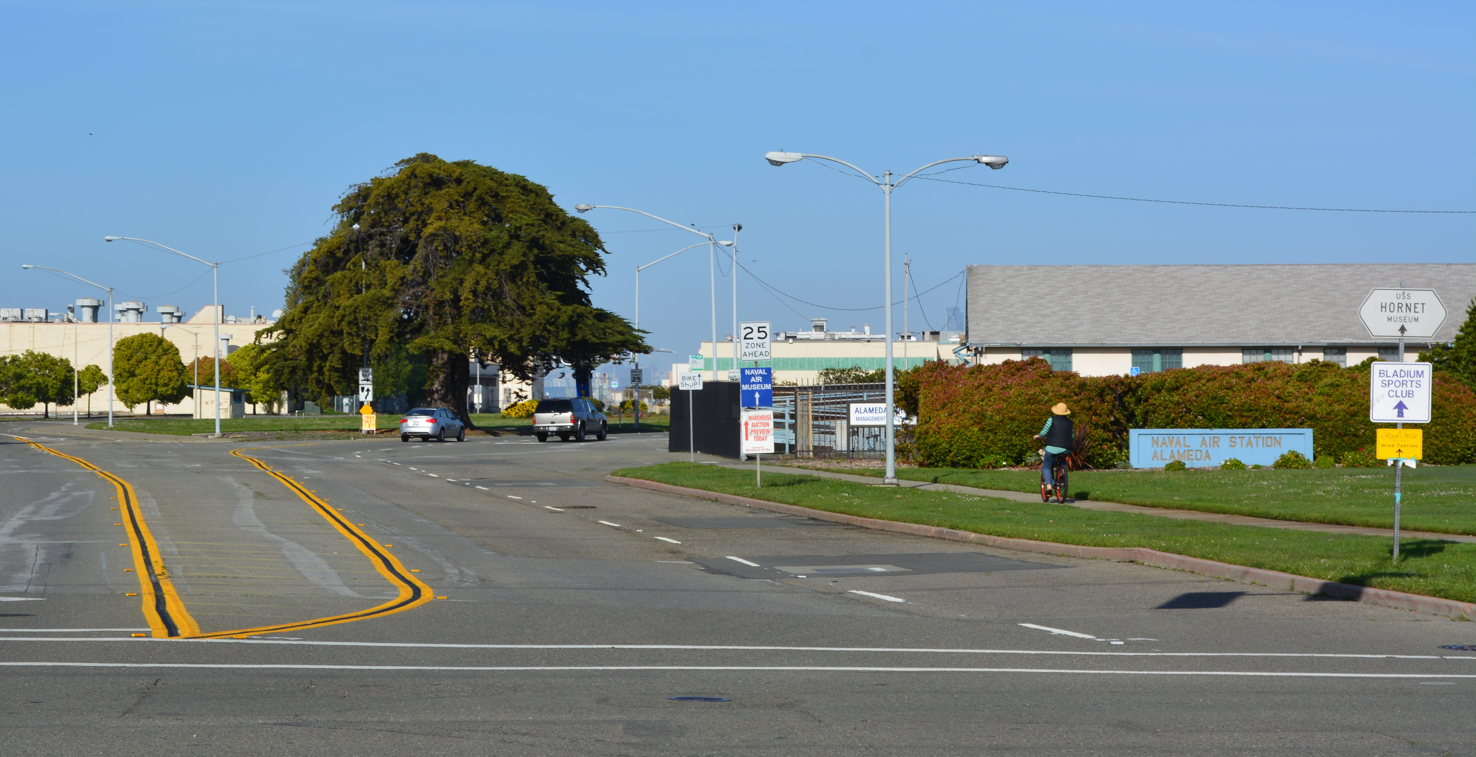
The Singleton Avenue school sites are located next to the Coast Guard housing to the south. Across the street and to the north of the school parcel is the vacant North Housing site, which is still owned by the Navy and zoned for a new residential neighborhood.
Originally published in the Alameda Sun.
School Board meeting April 28, 2015 regarding property request – see agenda item F – 6.