Wetlands, Trails, Natural Habitat Concept Drawings for Alameda Point

Proposed Flight Park and Wetlands

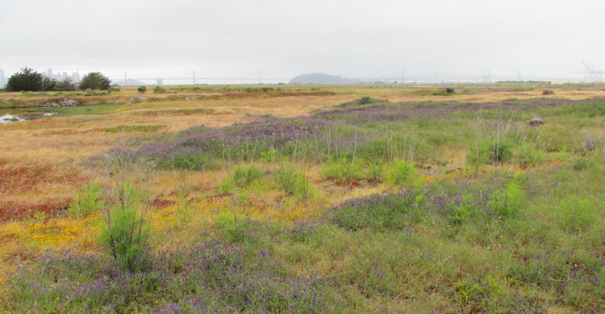
The borderless ecosystem – On September 1, 2011, Golden Gate University’s Center on Environmental Law published their proposal for a unified planning process and expansive view for open space at Alameda Point.  The central theme of their effort is that the true potential for conservation at Alameda Point lies in thinking of the area as one contiguous ecosystem of land and water.  In doing so, not only is there benefit to wildlife and the environment in general, there is also benefit to our efforts at economic development by making Alameda Point a highly desirable location with a signature identity – Flight Park.

Perimeter boardwalk (Bay Trail) through park

Flight Park is their suggested name for a unified open space system that would bring to mind larger-scale landmark open space systems like the Golden Gate National Recreation Area.  Bringing together regional, state, and federal agencies to adopt and implement conservation efforts will be far more effective in the long run than waiting for, say, the VA to appropriate money for habitat conservation (not their core mission), or the city of Alameda getting enough attention to secure millions in wetlands monies. 

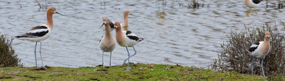
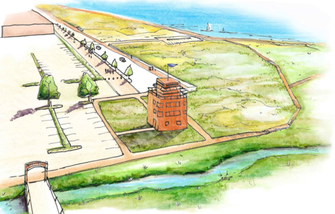
Moving the VA facilities – Perhaps the most controversial proposal within the Flight Park concept is moving the proposed VA facilities off of the Wildlife Refuge to a spot further east at Alameda Point.  While coming late in the process for transferring land to the VA, it is not without merit.  The Golden Gate Audubon Society has long opposed the sighting of VA buildings on the Wildlife Refuge as an intrusion into the habitat of the endangered California Least Tern.  The Flight Park designers see the VA buildings as a visual obstruction on an otherwise wild and open bay front parcel.

Boardwalk through proposed wetlands

There is good reason for the VA to work with the City of Alameda on moving their buildings, if not their columbarium, closer to the old “Main Gate” on the north side of Alameda Point.  Services will be easier to get to for veterans, and the infrastructure to their site will be less expensive.  There is still time – the VA has not spent their $17 million for this year on design, and therefore they have not requested money for the project in next year’s budget proposal.

The East Bay Regional Park District has been ready and willing to take on the management of regional park facilities at Alameda Point for over a decade.  In 2009 they set aside $6.5 million for Alameda Point shoreline restoration and the Bay Trail.

Existing wetlands on Northwest Territories

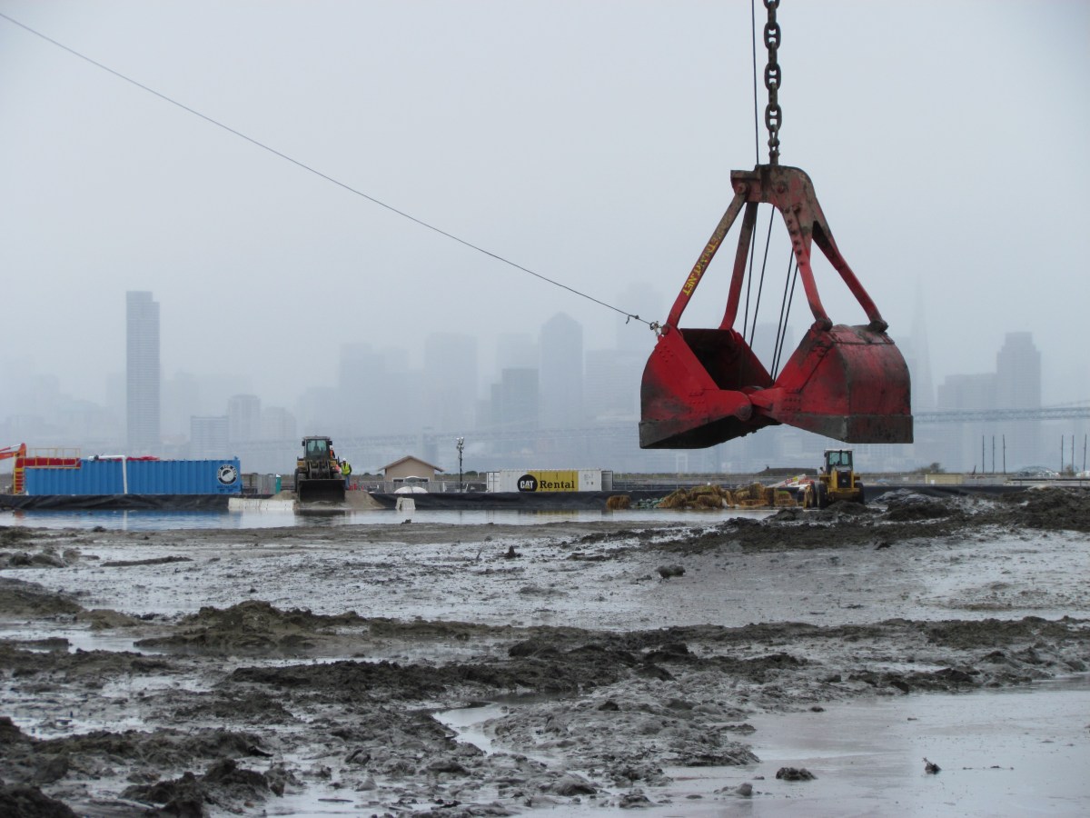
Wetlands Mitigation Bank – Professor Paul Kibel, co-director of the Center on Urban and Environmental Law and leader behind the Flight Park concept, argues that there is also funding potential in the creation of a Wetlands Mitigation Bank such as has been created in many California communities to accumulate funds for creating or restoring wetlands.  An experienced environmental lawyer, he has offered to assist the city in any way he can in setting up such a wetlands bank.  One of our first contributions would likely come from the Navy, which will owe us some wetlands due to their coming remediation plans for the Northwest Territories.  Typically, two acres of wetland must be created for each single acre removed.

Seaplane Lagoon grassland promenade with Control Tower converted to nature observation center

In Sum – The Flight Park drawings offer an inspiring look at what could be at Alameda Point.  It is a vision that merges well with recent sustainability presentations that call for diverting storm water to wetlands and marshes at Alameda Point.  Urge our city council to discuss this initiative.  It would build on Alameda’s reputation as a city dedicated to environmental sustainability.

CUEL Booklet on Flight Park at Alameda Point

More images in the Environmental Report’s Flickr gallery.

Landmark Destination Park System for Alameda Point

Greenspace Project's concept for interconnected park system at Alameda Point. Shown as an overlay on existing "Going Forward" city map. Red letters indicate project additions. Link to map with zoom feature at end of post.

Parks and open space planning for Alameda Point has been hobbling along for 15 years.  We still do not know when or who will be welcoming visitors to the Wildlife Refuge.  We still do not know who, when, or what will happen with the Northwest Territories.  These two areas, located in the runway portion of Alameda Point, comprise over 700 acres.  Linking these two areas together with the Seaplane Lagoon frontage and the future Enterprise Park extending to the Encinal Boat Ramp is the vision of the recently launched Greenspace Project at Golden Gate University (GGU). 

The Greenspace Project wants to get all the stakeholders – local, regional, state, and federal – in one room, on the same page, so that not only Alameda, but the entire region, can benefit from the exceptional and rare opportunity for creating a world-class park system at Alameda Point.  And they want to do it now, before the Environmental Impact Report for Alameda Point is drafted.

The Greenspace Project is under the umbrella of GGU’s Center on Urban Environmental Law (CUEL).  Alameda Point is the Project’s first endeavor, and they are partnering with the Washington, DC-based Urban Land Institute (ULI).  They have retained the landscape planning services of accomplished open space planner Stephanie Landregan. Continue reading “Landmark Destination Park System for Alameda Point”

Environmental Cleanup – Update on Site 1

Site 1 indicated by blue line. Yellow line indicates entire area used by Navy as a disposal area from 1943 to 1956. Red indicates waste pit that caused groundwater contamination. Navy photo and overlay.

Groundwater

The Navy is proceeding with plans to remediate contaminated groundwater at the old disposal site at the northwest tip of Alameda Point.  The contaminated groundwater is within the area known as Site 1, which encompasses over half of the old dump.  In one particular area of the dump, the Navy routinely dumped liquid waste material.  No one knows for sure how much of it was in drums that may still be rusting away, and how much was just poured into the pit.

Some current and former members of the Restoration Advisory Board (RAB) have long been concerned as to whether the size of the plume has been adequately characterized, meaning how wide and how deep.  The main issue is its proximity to the Bay and whether remediation measures will prevent any of the hazardous compounds from entering Bay water. Continue reading “Environmental Cleanup – Update on Site 1”

Point Being: Are Point Veggies Safe?

Part of area where veggies were studied - near Main Gate and Big Whites.

Is it safe to eat vegetables grown at Alameda Point? A little-known EPA study conducted in 2005 around the Big Whites and Alameda Point Collaborative housing tried to answer that question. In the study, researchers collected fruits, vegetables and edible weed plants such as apples, figs, tomatoes, fava bean seeds, and also flowers of Cat’s Ear which people had been observed gathering for food.

The fruits and vegetables were gathered for the study from 15 locations and analyzed to see if PAHs (polycyclic aromatic hydrocarbons) were absorbed by the root systems and transferred to the edible parts. PAHs occur in oil, coal, and tar, and can be produced by forest fires and car exhaust. They are of particular concern in the tested area because rail cars once carried oil products along the northern shore and also because dredge soils from the Oakland Estuary used to form Alameda Point contained byproducts from the coal gasification plant that once operated in Oakland near the estuary. Some of the chemicals in the PAH family, notably benzo(a)pyrene, have been identified as carcinogenic by the federal Environmental Protection Agency.

Even though some of the soil areas contained elevated levels of PAHs, the edible parts of the plants were found not to contain any contaminants. “None of the 16 PAH congeners on the EPA Priority Pollutant List was detected in any of the plant samples collected from the site,” the report says. Continue reading “Point Being: Are Point Veggies Safe?”

Point Being: Clean Ups and Downs

Dredging northeast corner of Seaplane Lagoon

Cleanup at Alameda Point continues to unfold. Every month the Restoration Advisory Board meets to stay apprised of the happenings and offer comments. The public is invited to attend on the first Thursday of the month, 6:30 p.m. at the rear of City Hall West at Alameda Point. Here are some highlights from the February meeting and a “Point Being” video update on the Seaplane Lagoon.

Site 1 at western end of Alameda Point in Northwest Territories - burn area in background - Bay Bridge in distance

Site 1 – Burn Area Larger Than Expected

There’s a glitch in the ditch at Site 1 out at the northwestern tip, in the Northwest Territories.  This is one of two of the Navy’s industrial dumps (aka disposal sites – the other one being Site 2 to the south on the Wildlife Refuge), and plans were on the calendar to begin the remediation plan on the 30-acre Site 1, which is set to become recreational open space, this year. But instead of 2013, it will now be 2015 before we are throwing Frisbees, riding the Bay Trail, or launching kayaks on the windy, incomparable western shore.

The plan was, and still is, to install a four-foot engineered soil cap on top of the site, after digging out and hauling away refuse from the burn area, where things like railroad ties were burned, which makes up a small part of the site. But as the Navy contractor was doing prep work for a detailed work plan, they discovered that the old burn area is larger than expected and that soil under the burn area “exceeded remediation goals,” which at the very least means more testing to find out what else is there.

Continue reading “Point Being: Clean Ups and Downs”