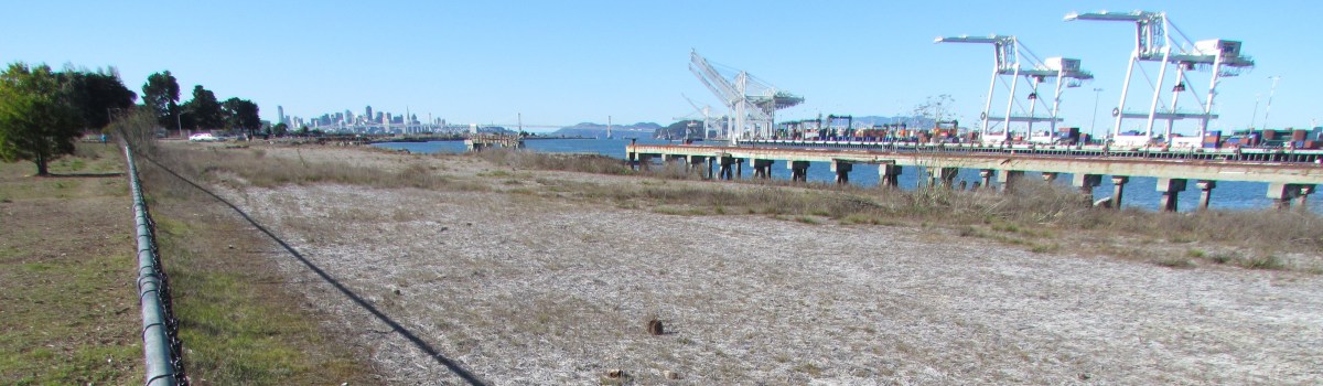

Even after all the cleanup work is completed, the Navy proposes to put a permanent chainlink fence topped with barbared wire around a scenic shoreline section of the wildlife refuge at Alameda Point.
“Good grief! If a fence is needed, will Site 2 be clean enough for our community?” Leora Feeney, co-chair of the Audubon Society’s Friends of the Alameda Wildlife Refuge, said upon first learning about the fence.
The Navy used the site for underground waste disposal from 1956 to 1978. According to representatives at the U.S. Environmental Protection Agency, the California Department of Toxic Substances Control, and the Regional Water Quality Control Board, the permanent fence has nothing to do with human health risks at the site.
According to the answer that the regulatory agencies provided collectively, “Potential human health exposure is unlikely to occur during recreational use on top of the soil cover such as walking or sitting.” The soil cover will be seeded with native grasses.
The fencing is aimed at reducing maintenance costs for the new landowner, the U.S. Department of Veterans Affairs (VA). “While the fence is not mandatory and recreational use without soil cover disturbance will not pose a risk to human health or the environment, the ongoing management of the protective cover in an area with public use without more direct supervision will increase risks and costs,” representatives from the agencies jointly stated.
The VA’s annual expense for operating, maintaining, monitoring, and compliance reporting for the cleanup site, without added supervision, is pegged at $101,715, according to an advisory paragraph in the work plan. ”There are numerous groundwater monitoring wellheads and landfill gas probes that require security to maintain monitoring integrity,” regulators stated.
The Navy’s plans indicate that access to the shoreline trail will remain open. But according to the regulators, “The perimeter road should have gates. This concern will be clarified with the Navy.”

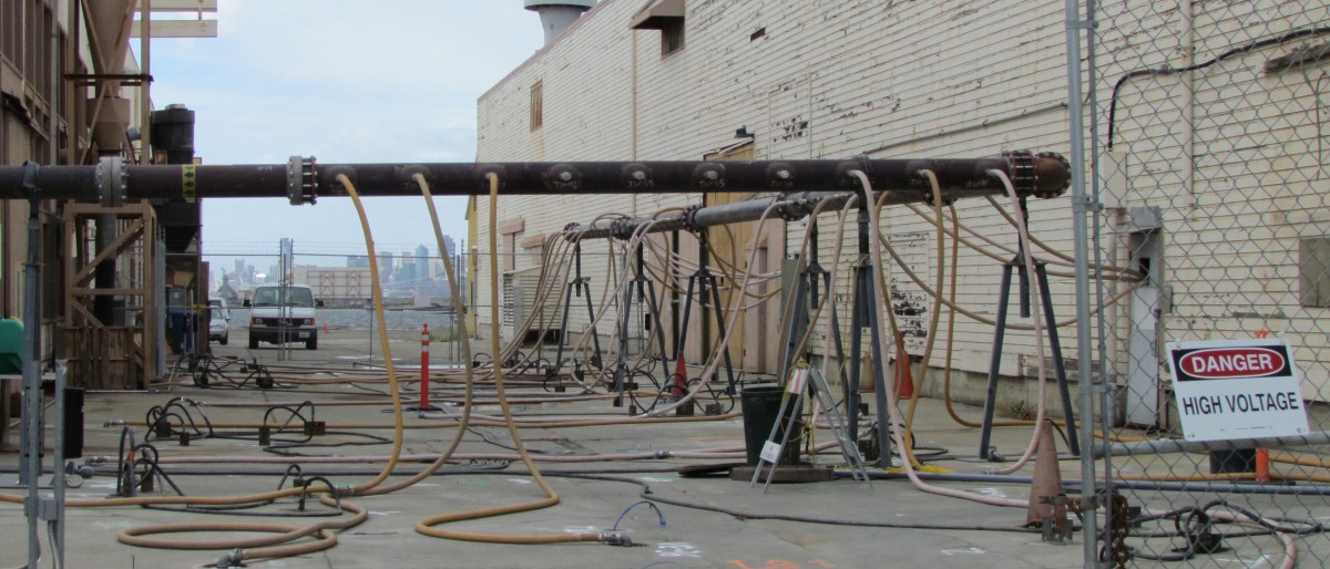
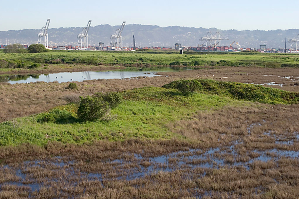
Photo by Eleanor Briccetti
The security fence, which will be inside the fenced off refuge area, departs from longstanding expectations for the refuge. Ironically, the off-limits wetlands area at this site is showcased on an Audubon Society brochure about the refuge. Docent and ranger-led bird watching and nature walks have been part of the expected uses at the wildlife refuge since the mid-1990s.
By 1998, the US Fish & Wildlife Service had drafted its guiding document for creating the Alameda National Wildlife Refuge. It envisioned supervised activity. It was to be run in the same manner as other refuges, with controlled and monitored use, two law enforcement officers, and a cooperative agreement with the East Bay Regional Park District “to augment [Fish & Wildlife] Service efforts.” Talks between the Fish & Wildlife Service and the Navy collapsed around 2004 over cleanup issues.
The shoreline restrictions imposed by the fence and gates are also at odds with the San Francisco Bay Plan, which is administered by the San Francisco Bay Conservation and Development Commission. While permits are not required for federal projects, the official “Record of Decision” for this cleanup site states that plans will be in accord “with substantive provisions of the San Francisco Bay Plan.” One of the keystones of the Bay Plan is maximum feasible shoreline public access. “The city is discussing the provisions of remedial design for Site 2 with the Navy to support a future perimeter trail around the shoreline of the fed-to-fed parcel, which the city is strongly committed to,” said Jennifer Ott, Chief Operating Officer for Alameda Point.
Another of the Bay Plan’s guidelines avoids undesirable visual impacts on the shoreline. One of the details in the work plan calls for 30 ten-foot tall, four-inch diameter, white PVC soil gas vent pipes for methane gas. This array of pipes will be visible from the outside seating areas behind beverage purveyors on Monarch Street such as St. George Spirits. “The city and Navy will discuss ways to minimize the visual impact of any new and/or replacement pipes, including the possibility of reducing their height,” Ott said.
Releasing methane into the environment has 21 times the greenhouse gas impact as burning it and turning it into carbon dioxide. The city currently burns off the methane gas produced at the city’s old municipal dump, Mt. Trashmore.
Public comments on the draft Remedial Action Work Plan for Site 2 will be accepted by the Navy until Monday, July 9. Responses to comments and a finalized plan will be announced in August. A copy of the plan is available in the information repository in City Hall West, 950 West Mall Square at Alameda Point. A rare opportunity to visit the site will take place on Saturday, June 23, when the Navy hosts the annual site tour. To comment, or to sign up for the tour, contact the Navy’s Environmental Coordinator Derek Robinson at derek.j.robinson1@navy.mil.
Site 2 details
The 110-acre cleanup site lies on the southwestern corner of Alameda Point within the 549-acre wildlife refuge, and includes 30 acres of wetlands and the 60-acre disposal area.
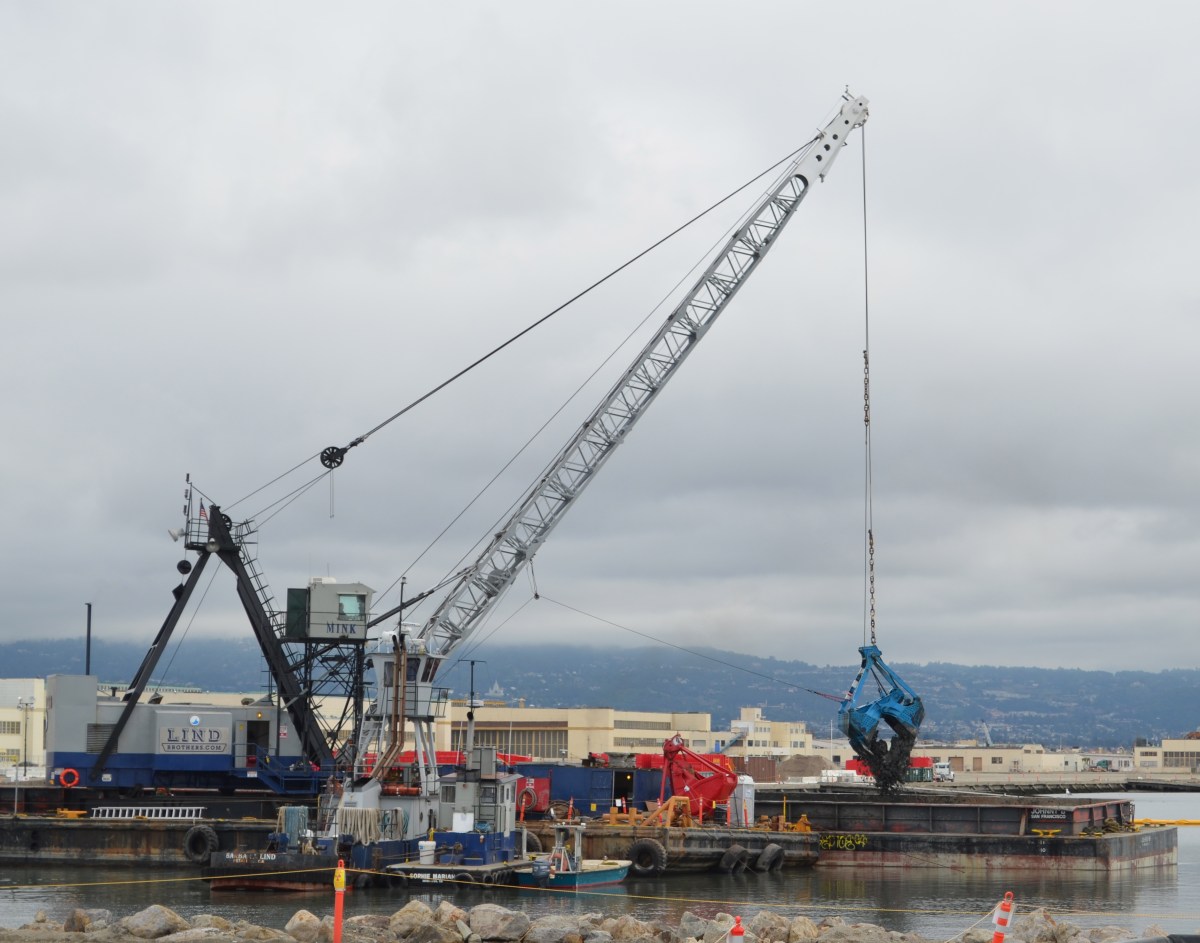
Remedial work at the site is expected to commence in the fall of 2012 and be completed by summer 2013. As a base layer for the soil cap, the Navy will use some 75,000 cubic yards of soil that it dredged from the Seaplane Lagoon and deemed clean enough for reuse. The Navy will then barge between 400,000 and 600,00 cubic yards of clean soil from Decker Island in the Sacramento River near the town of Rio Vista. The Navy says this will save at least 22,000 semi-truck trips.
The work plan document allays longstanding fears about underground toxic chemicals leaching into the Bay. According to groundwater monitoring results in 2011, and comparing them to 16 years of data, all chemicals of concern are below risk levels and either stable or trending downward. The plan includes the option of eliminating the groundwater monitoring wells in five years.
“Overall, the Navy believes that the soil cover remedy for IR Site 2 is directly compatible with the anticipated future reuse of the site.”
Navy, in Record of Decision, 2010
![Seaplane Lagoon cleanup dredging completed [video and slideshow]](https://alamedapointenviro.com/wp-content/uploads/2012/03/img_9647.jpg?w=1200)