 Once upon a time there was talk about a national wildlife refuge at Alameda Point. It was included in the reuse plan for Naval Air Station (NAS)-Alameda that was accepted by the Department of Defense. It was added to Alameda’s General Plan. The US Fish & Wildlife Service was poised to be the owner and caretaker of the refuge.
But after talks broke down between the Navy and US Fish & Wildlife Service nearly a decade ago, the Navy arbitrarily decided to give the land to the Department of Veterans Affairs (VA) for a clinic and columbarium. The VA is counting on the City of Alameda to give them an additional 70 acres of land early next year so that their clinic can be located further away from the nesting site of the endangered California least terns. This would bring the VA’s property to roughly 620 acres, even though they need only 110 acres.
The city should impose a condition on this land deal: Before the city changes its reuse plan footprint to accommodate the VA, the city should insist that the Navy place a conservation easement on the 511 acres that the VA does not need. A conservation easement would lay the groundwork for creation of a wildlife refuge or wildlife conservation area to be operated by another agency.
Golden Gate Audubon Society 1995 study examines economic value
The benefits of creating a wildlife refuge at Alameda Point go beyond environmental stewardship. They also include economic benefits to Alameda and the region. The Golden Gate Audubon Society (GGAS) understood the economic angle back in 1995 when they were advocating for creation of a wildlife refuge. To provide substance to their views, they commissioned a study by Robert Hrubes and Associates that was released in March of 1995. It’s called “The Potential Economic Benefits of the Proposed Alameda National Wildlife Refuge: An Overview.” The conclusion of the 1995 study—that a wildlife refuge will complement economic development—still holds true today.
 The study went on to extol the intersecting virtues of wildlife habitat protection and economic value. “While important in their own right, the benefits that would be generated by establishment of the wildlife refuge are not limited to habitat and species protection,” stated Hrubes and Associates. “[T]here are indeed potential economic benefits that could derive from a wildlife refuge/day-use recreation area located in the central Bay Area. That is, the wildlife refuge proposal is not an ‘either/or’ choice between environmental quality and economic development. Rather, it constitutes a land use that not only will take optimal advantage of the environmental attributes the site has to offer but also will generate economic activity that benefits the local region. Further, it will enhance the economic value for development of the remainder of the NAS.”
VA’s project requires further study of impacts
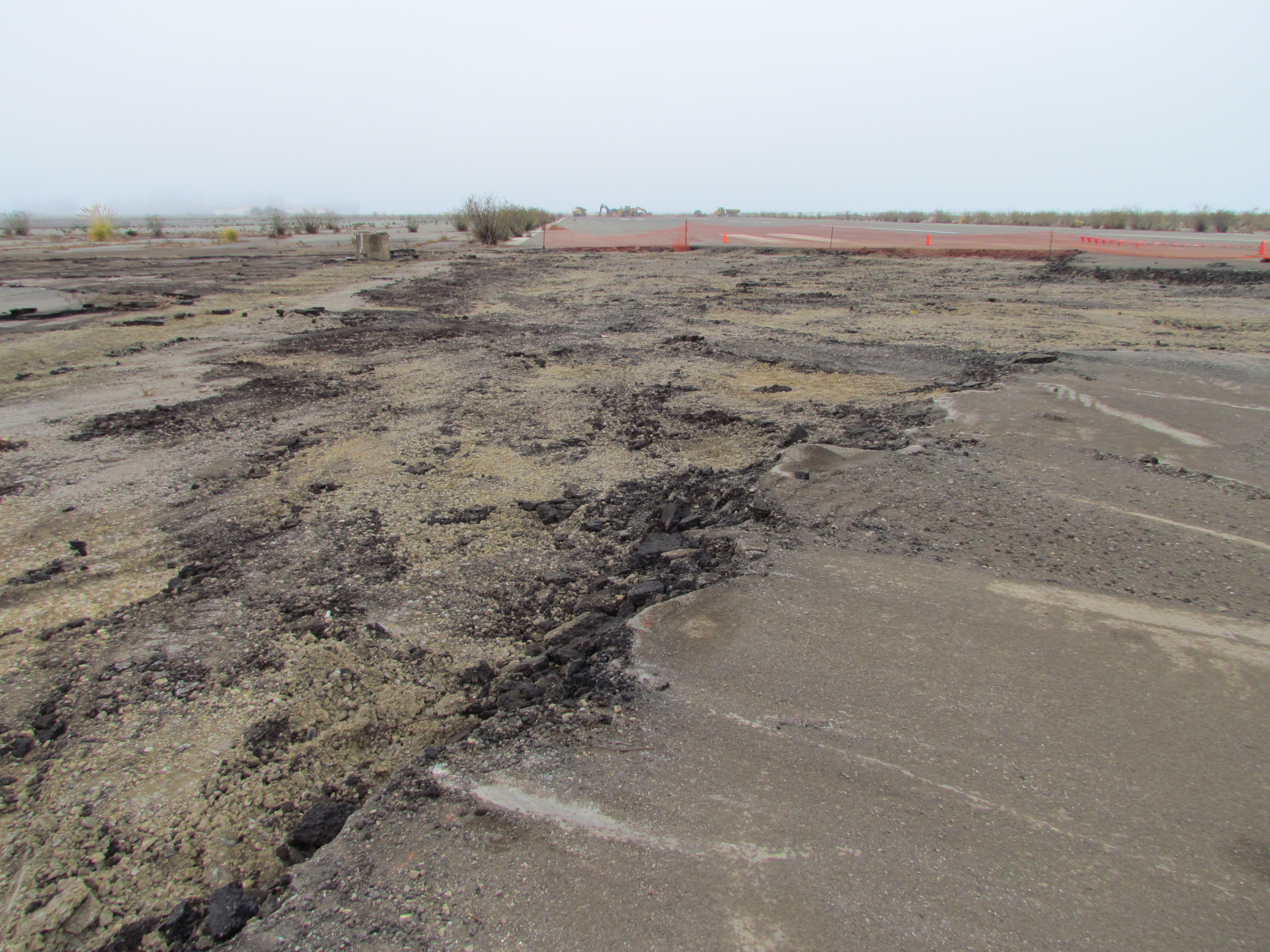
 The current proposal for the VA to own and control the 511-acre refuge area next to their 110-acre medical clinic and columbarium makes it all but impossible for this area to become the urban wildlife oasis that it could be. The VA’s proposed project map makes this clear by wiping out the words “Wildlife Refuge” and replacing them with “VA Undeveloped Area.”
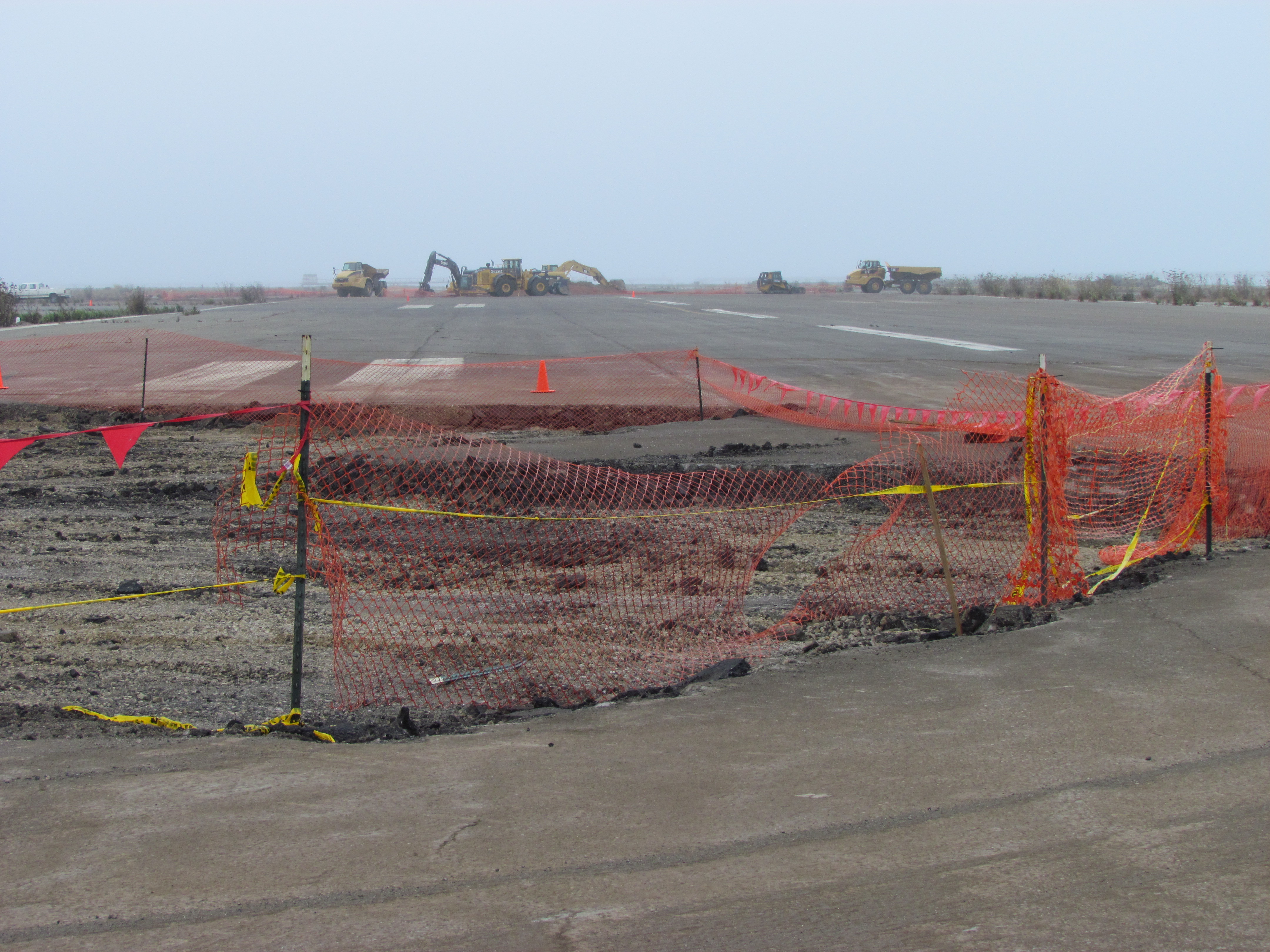
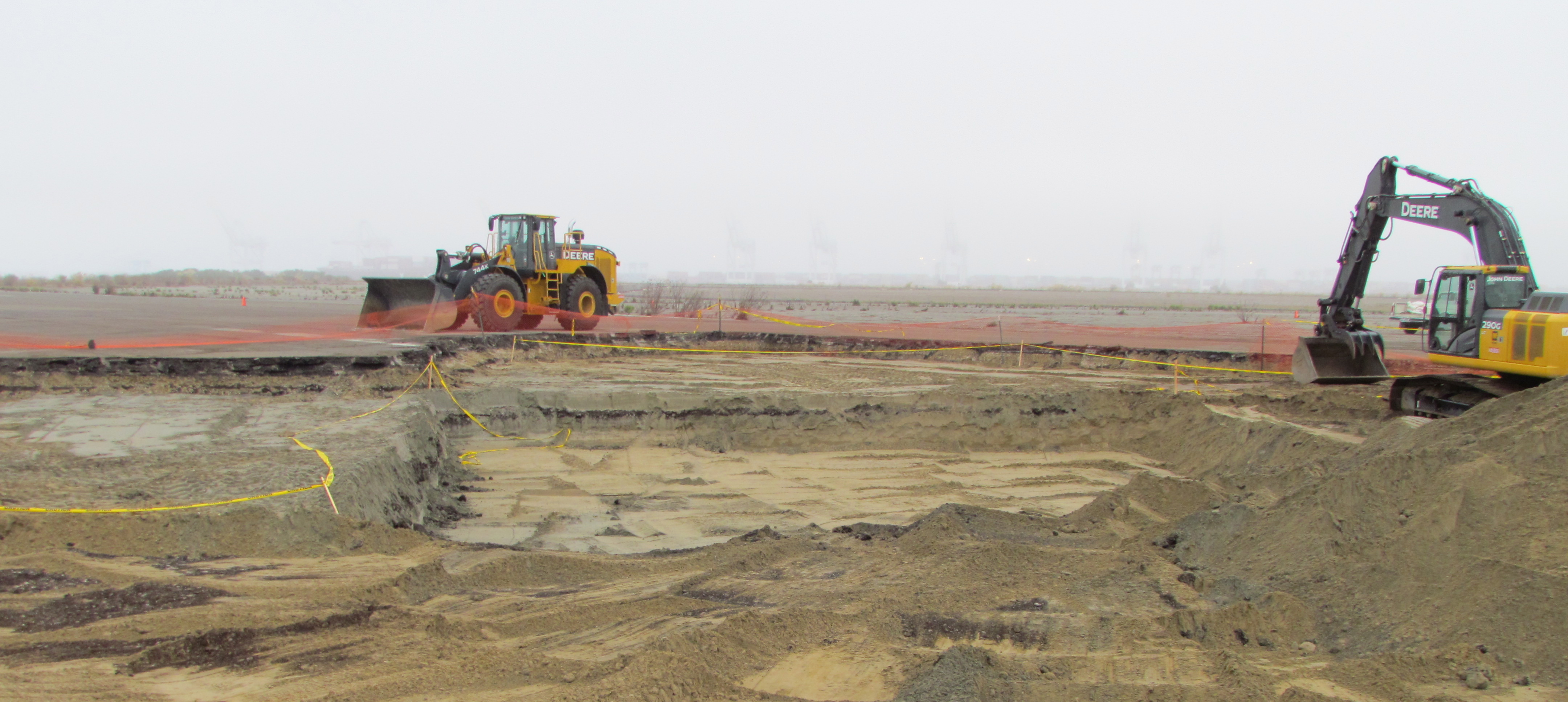
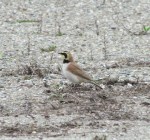
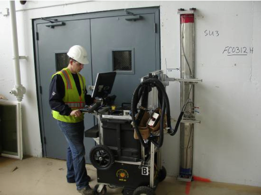
At this stage of the environmental review process, the only significant environmental requirement that has been imposed on the VA is that they provide predator management, housekeeping, and record-keeping for the California least terns during their four-and-a-half-month nesting season at Alameda Point from April to mid-August. This is because the Biological Opinion issued by the US Fish & Wildlife Service in the summer of 2012 focused only on one species – the least tern – due to its listing as an Endangered Species. It remains to be seen whether the VA and Navy will prepare a full Environmental Impact Statement (EIS) as typically required for a federal project of this size and scope. The National Environmental Policy Act provides for an impact report that is similar to California’s Environmental Impact Report. If the Navy and VA perform an EIS, they will then have to look at impacts to other species (such as the burrowing owl), habitat values, climate and traffic impacts, as well as identify alternative sites for all or part of their project.
 However, based on public statements from the VA about their timeline for construction, it does not appear that they have any intention of doing a full EIS, and thus their environmental commitment will be limited. This will mean that rather than adding grasslands to perimeter areas that already have pockets of grasslands between runways and taxiways in order to divert hawks and other avian predators away from nesting terns, they will keep the refuge looking as much like a fenced-in stadium parking lot as possible (like it has been for the past decade). The pretext is that it removes habitat for predators, but in this case they would be torturing the concept by making the tern nesting site so conspicuous that it will invite predation. Virtually all of the least tern predation events have been from flying predators—like the peregrine falcons that come from miles away on the other side of Alameda.
 The real reasons for maintaining the industrial look are to reduce maintenance and capital costs, and to exploit the paved areas for revenue-generating uses that don’t require construction. They have already said they will use the area for emergency preparedness training, disaster staging, and storage of supplies.
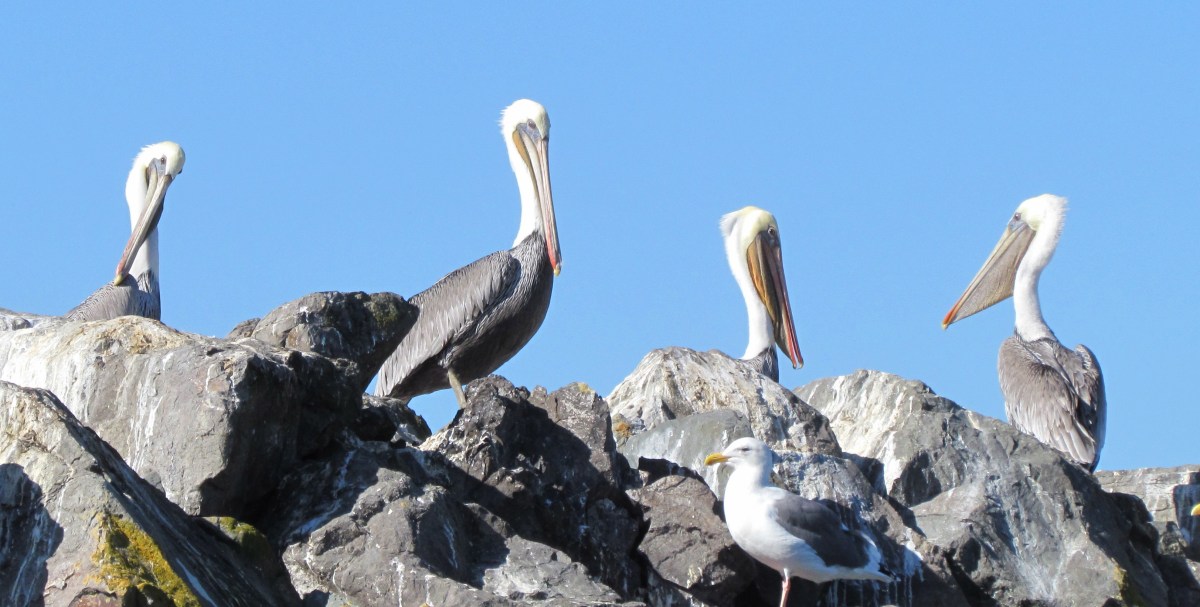
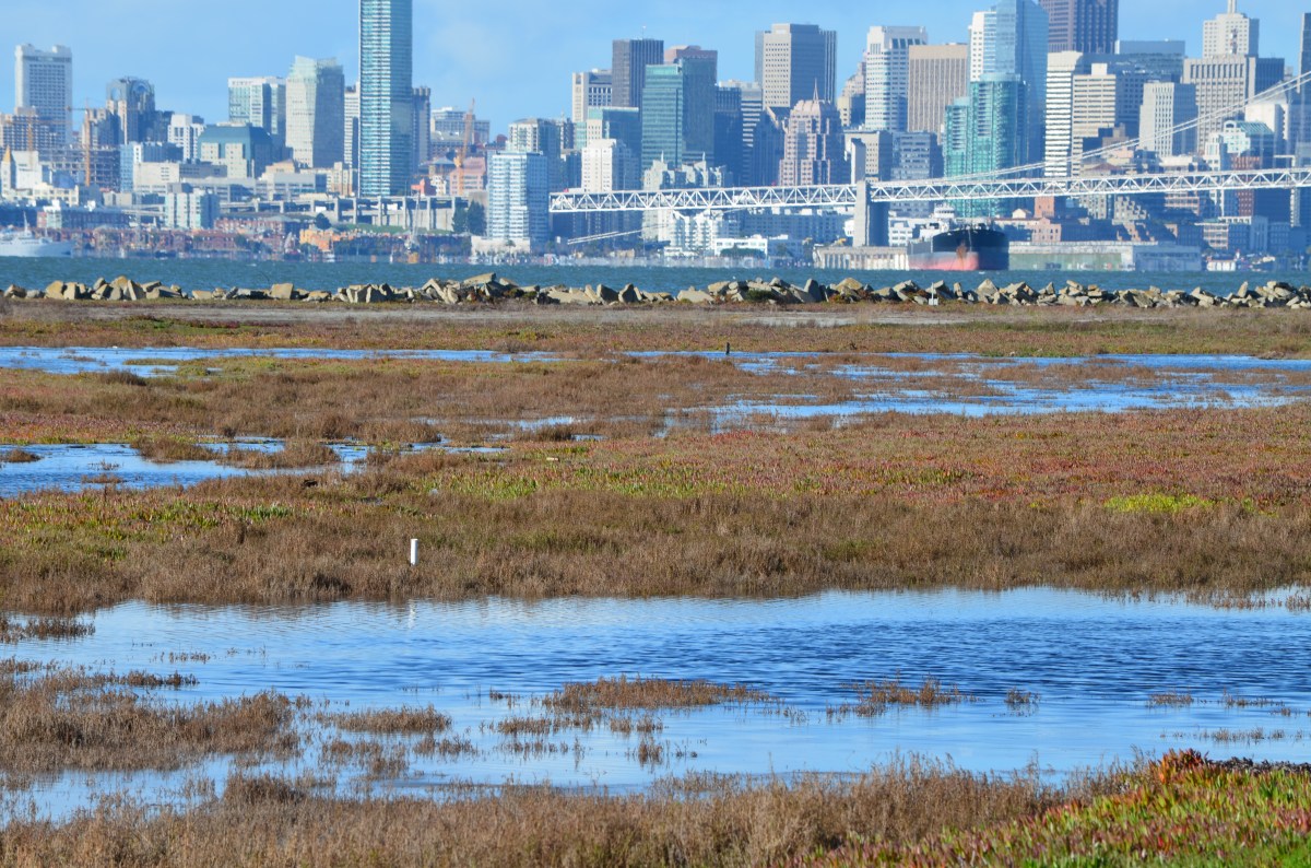
Over 180 different species of bird have been spotted on the refuge at one time or another. Some of the wetland area can easily be expanded and linked permanently to the Bay. Grasslands could be added. Instead, what we can expect to see added are auto driving events and RV shows.
Early in 2013, the Alameda city council will play a pivotal role on whether the VA is able to permanently kill the wildlife refuge vision. The city council must vote on an amendment to its no-cost conveyance deal with the Navy in order to allow the VA project to move forward. By their action, the city will decide whether the 1996 Community Reuse Plan for Alameda Point will be amended to remove the wildlife refuge as a goal, or if it remains.
Killing the wildlife refuge is not only a bad idea for the environment. It’s a bad idea for the economy.
Read more in the Conservation Action section of the Alameda Point Environmental Report.


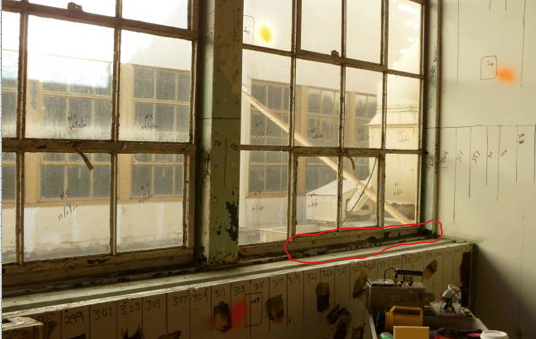

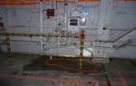
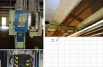
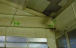
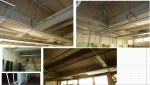
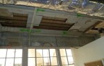
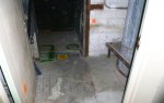
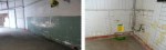
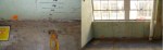
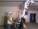
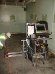
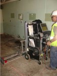
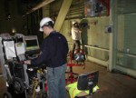
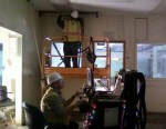
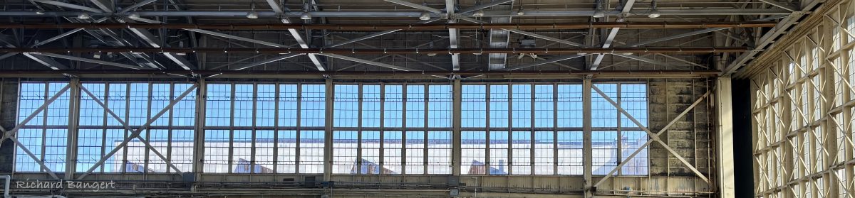
 The mezzanine area is in the area also known as the Breezeway, which runs east to west between the two hangar areas of Building 5. Hopefully this lead paint contaminated architectural oddity will be torn down so that we can more readily attract businesses here and to the surrounding areas. It has an easily identifiable wooden wall on the western side, marking it as one of Alameda Point’s most prominent eyesores.