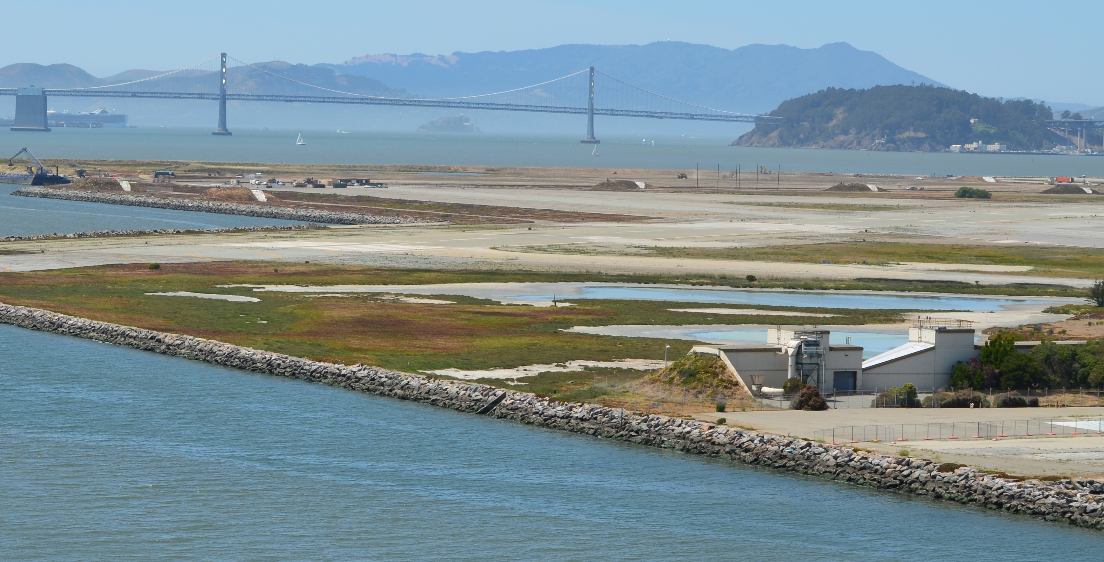
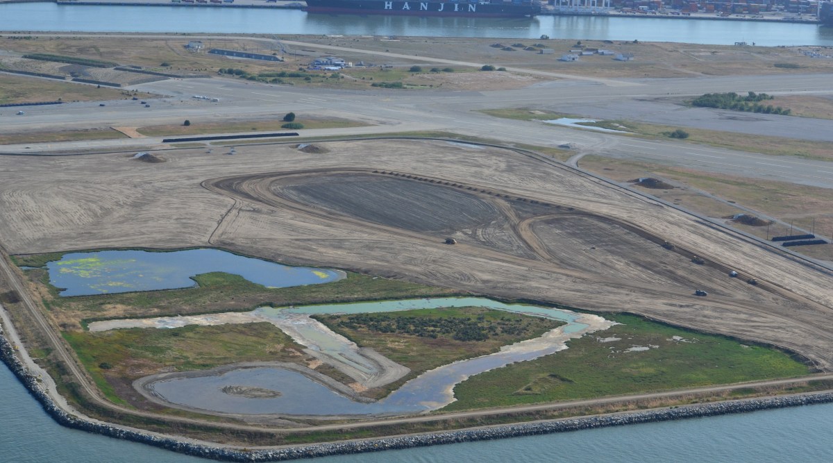
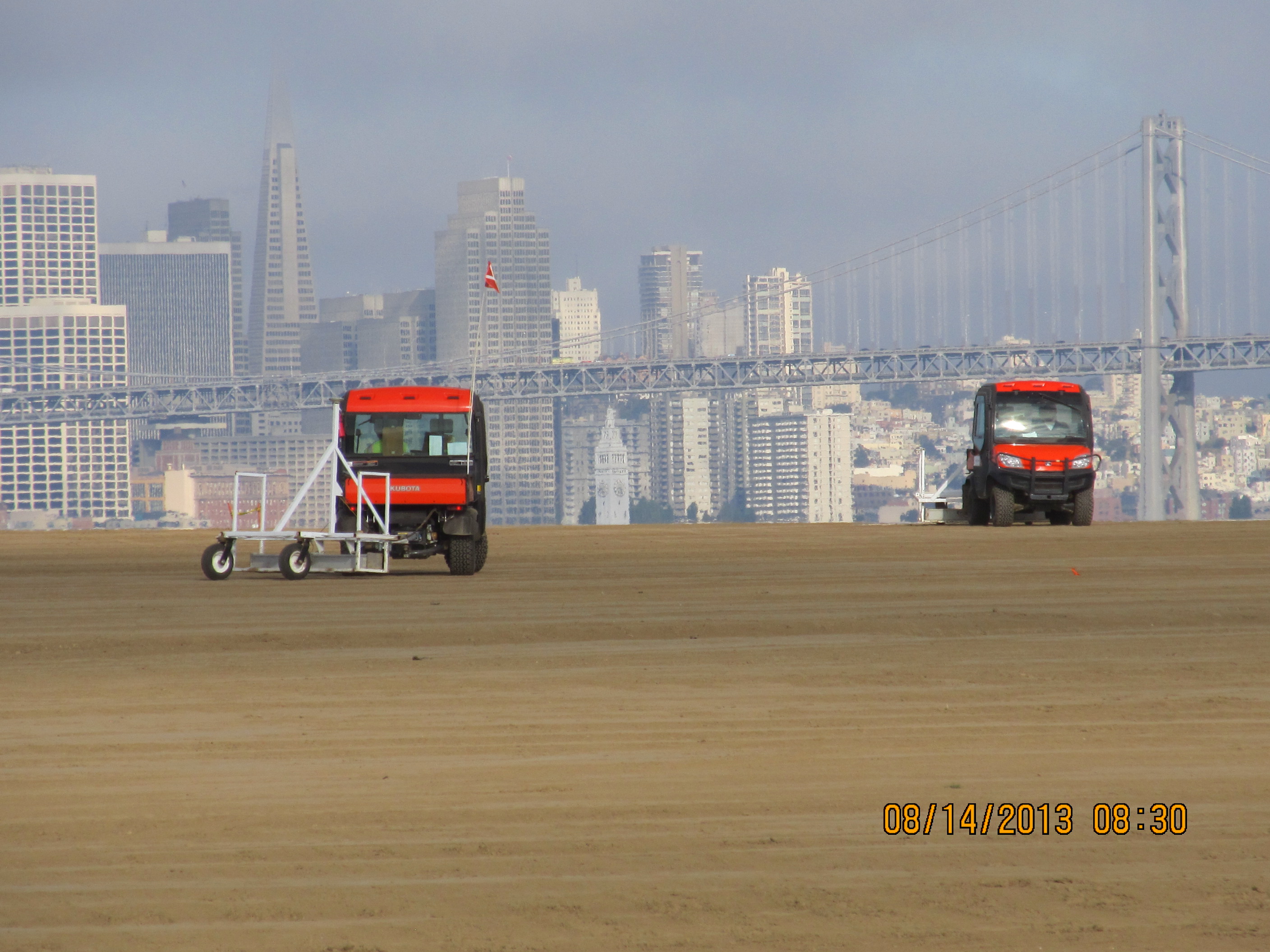
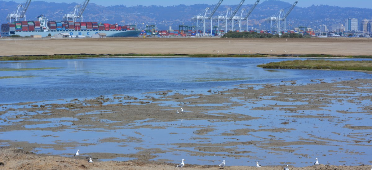
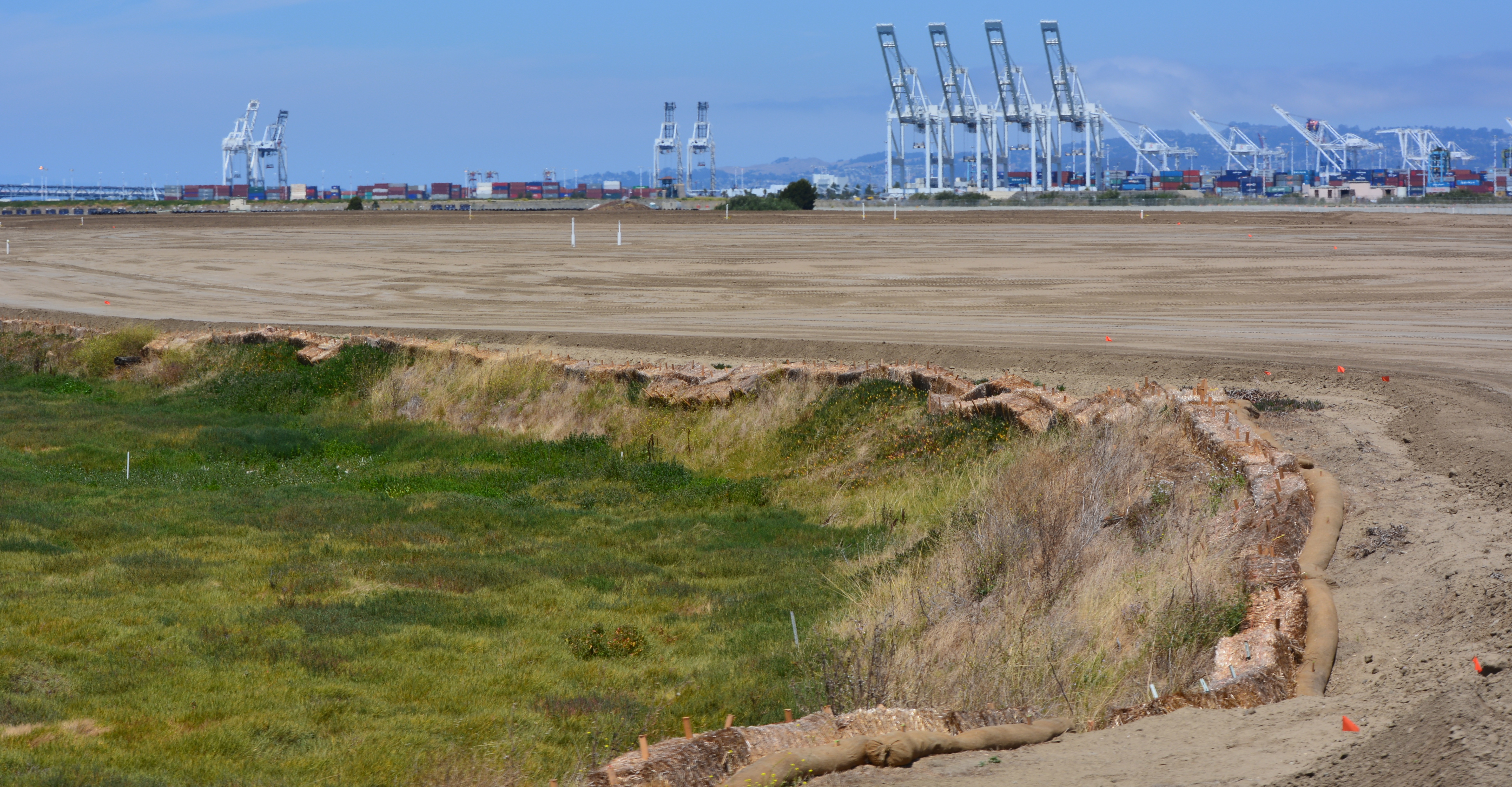
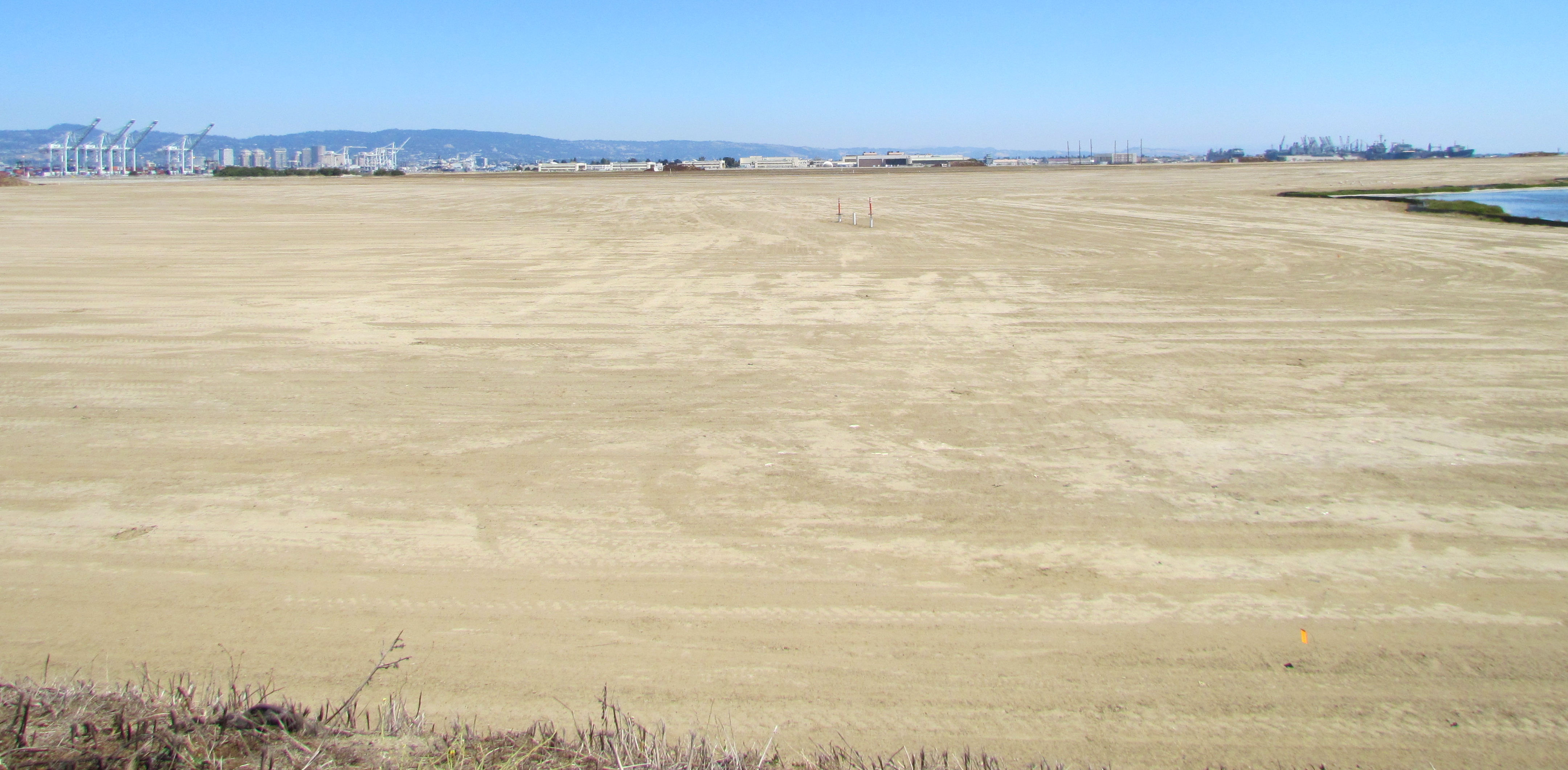
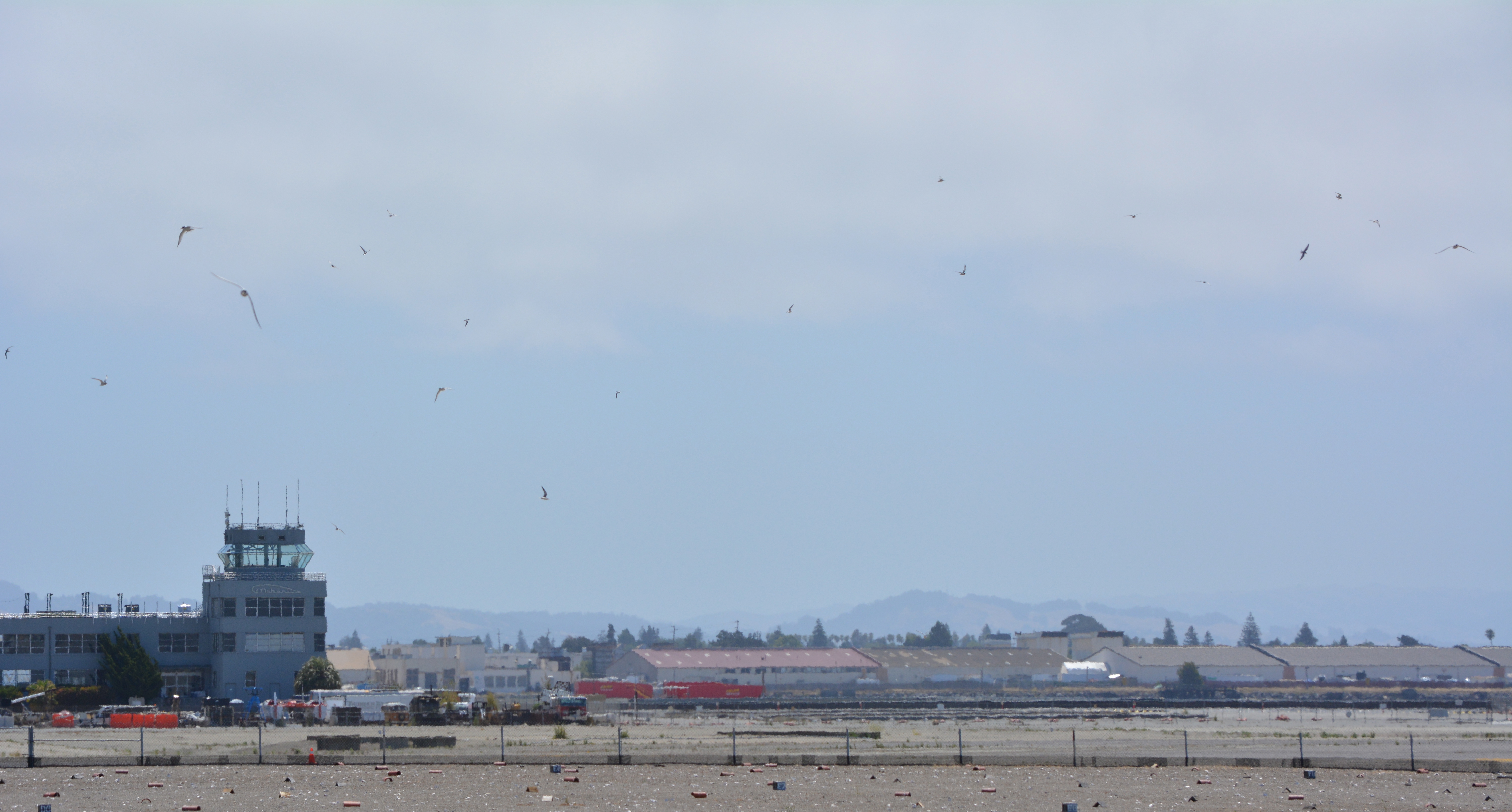
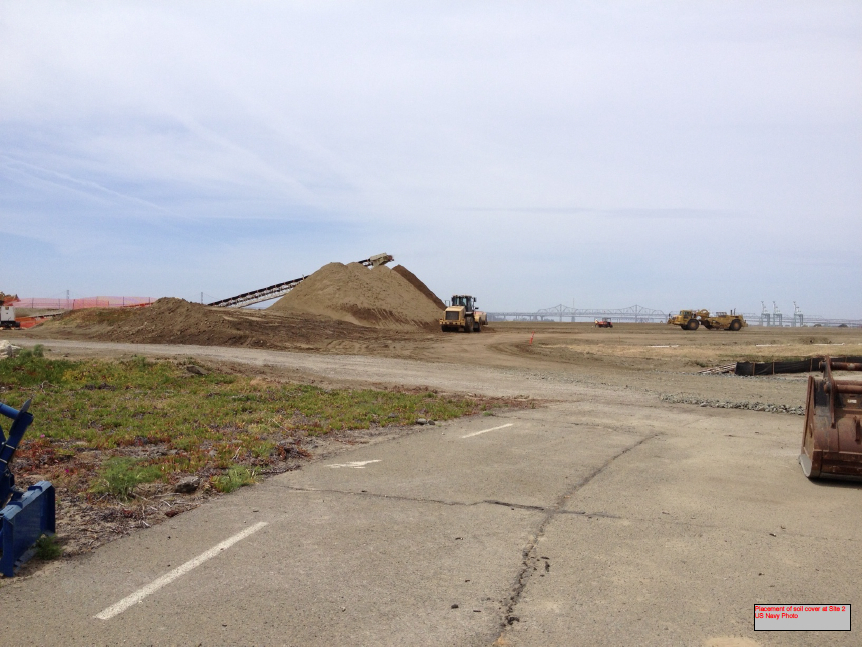
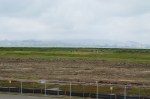
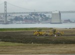
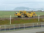
The 9.7-acre nesting area for the endangered California least terns at Alameda Point received a new layer of sand this year. Sixty dump truck loads of sand were delivered to the site on the old Navy airfield in March, paid for by the U.S. Fish & Wildlife Service (USFWS).
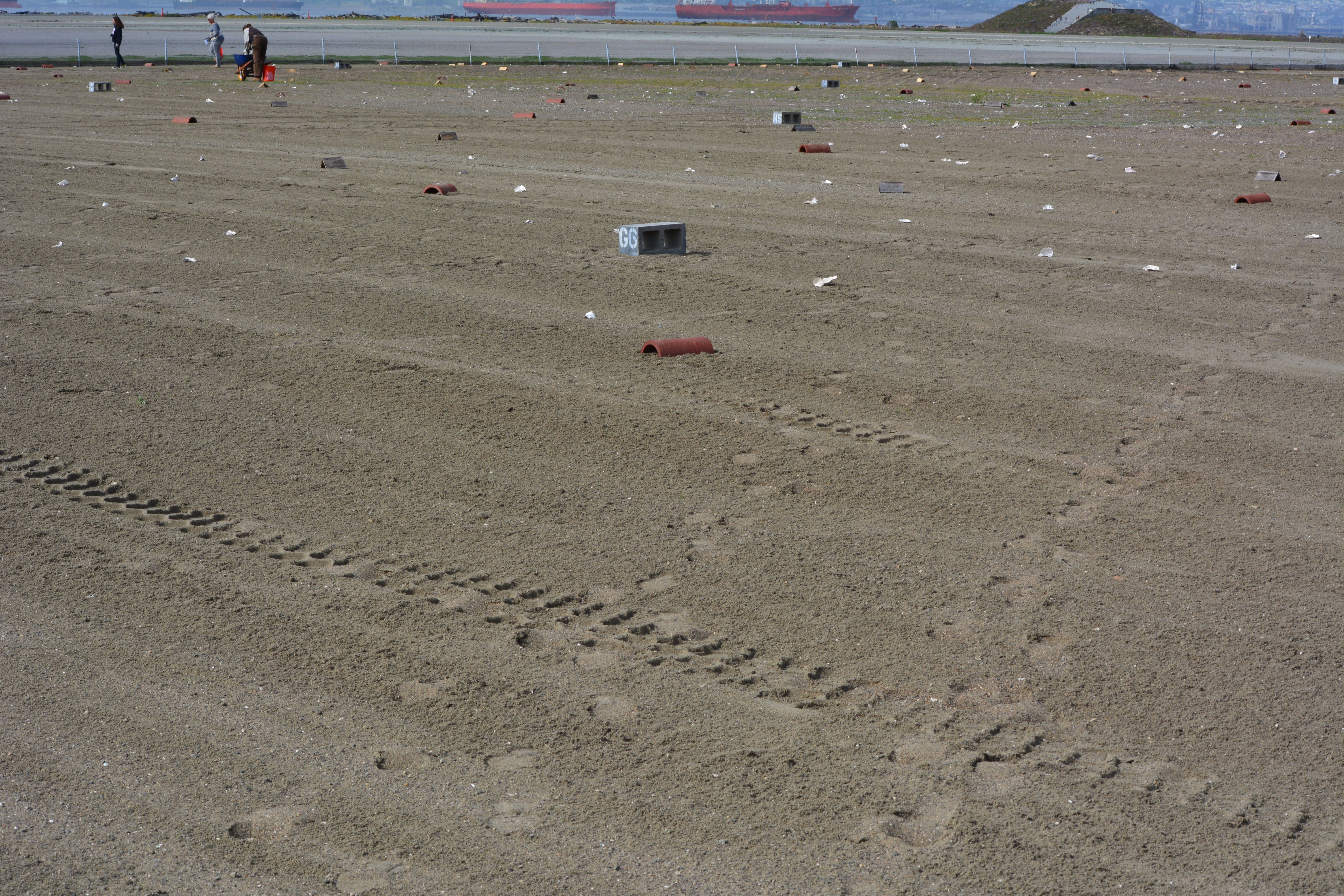
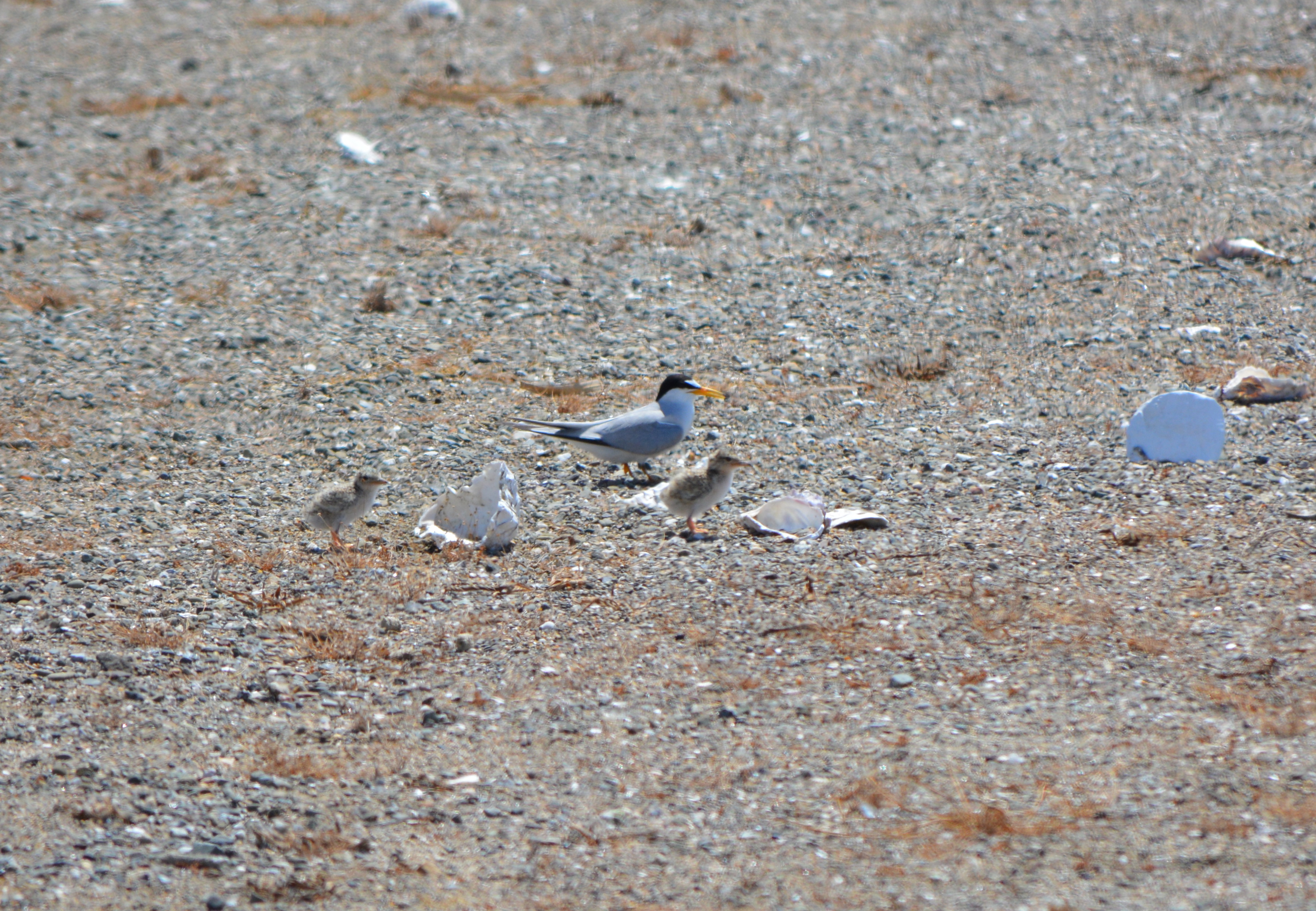
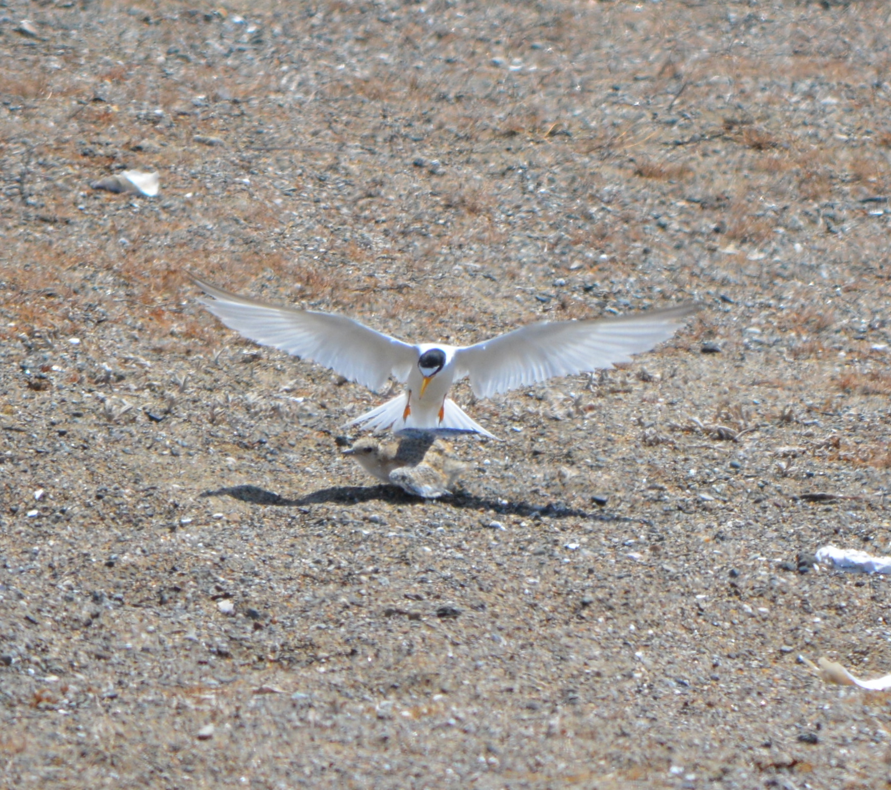
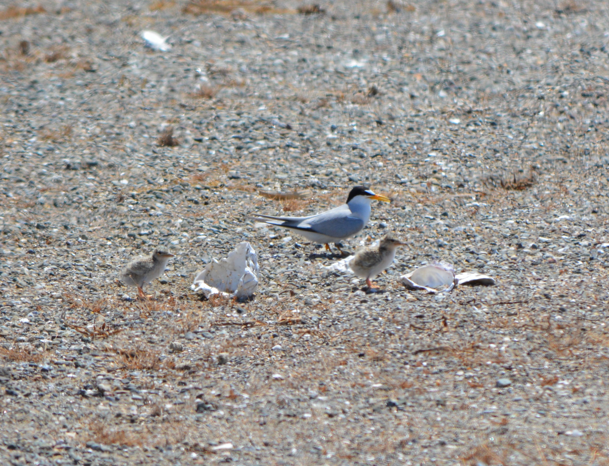
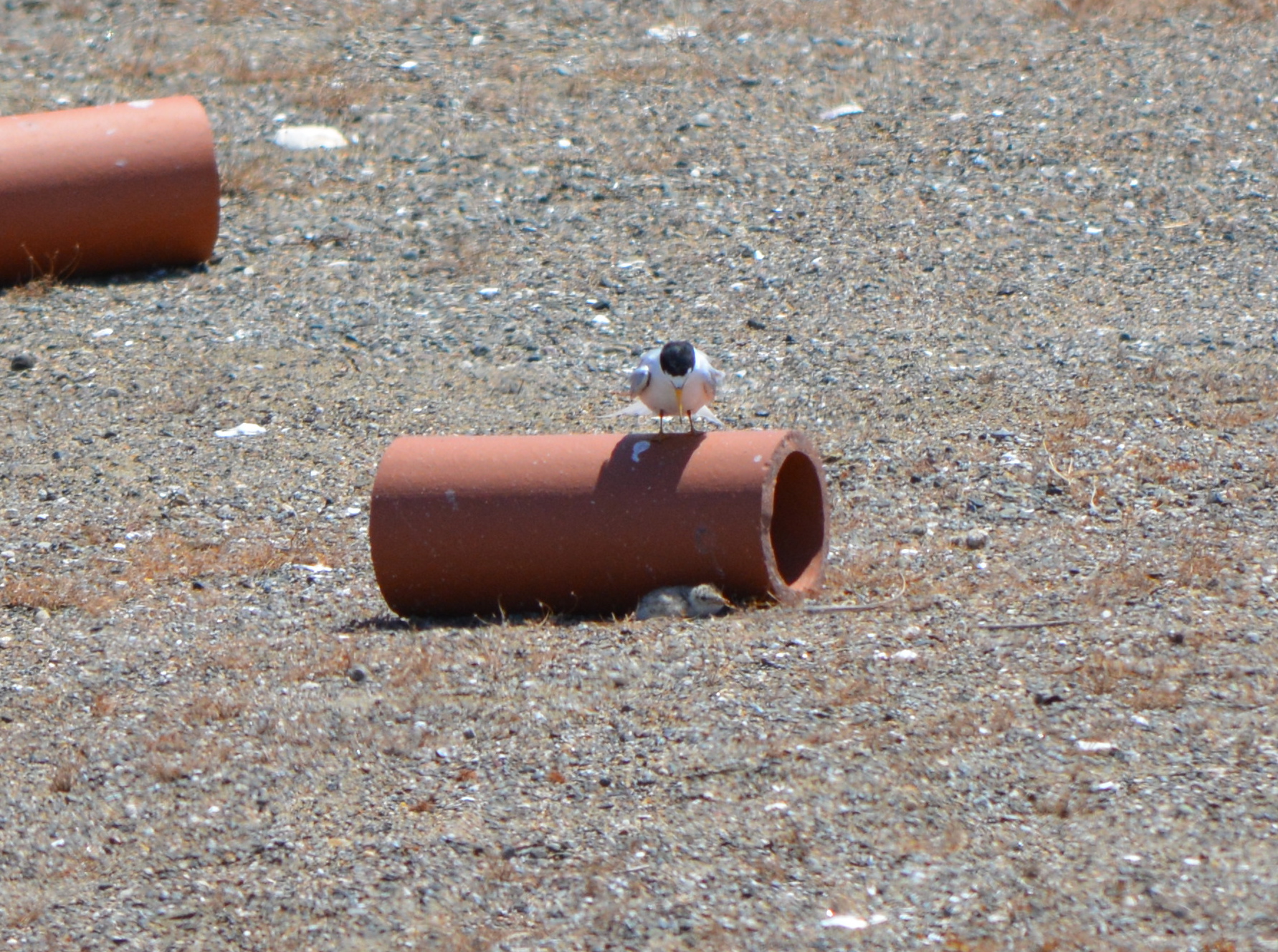
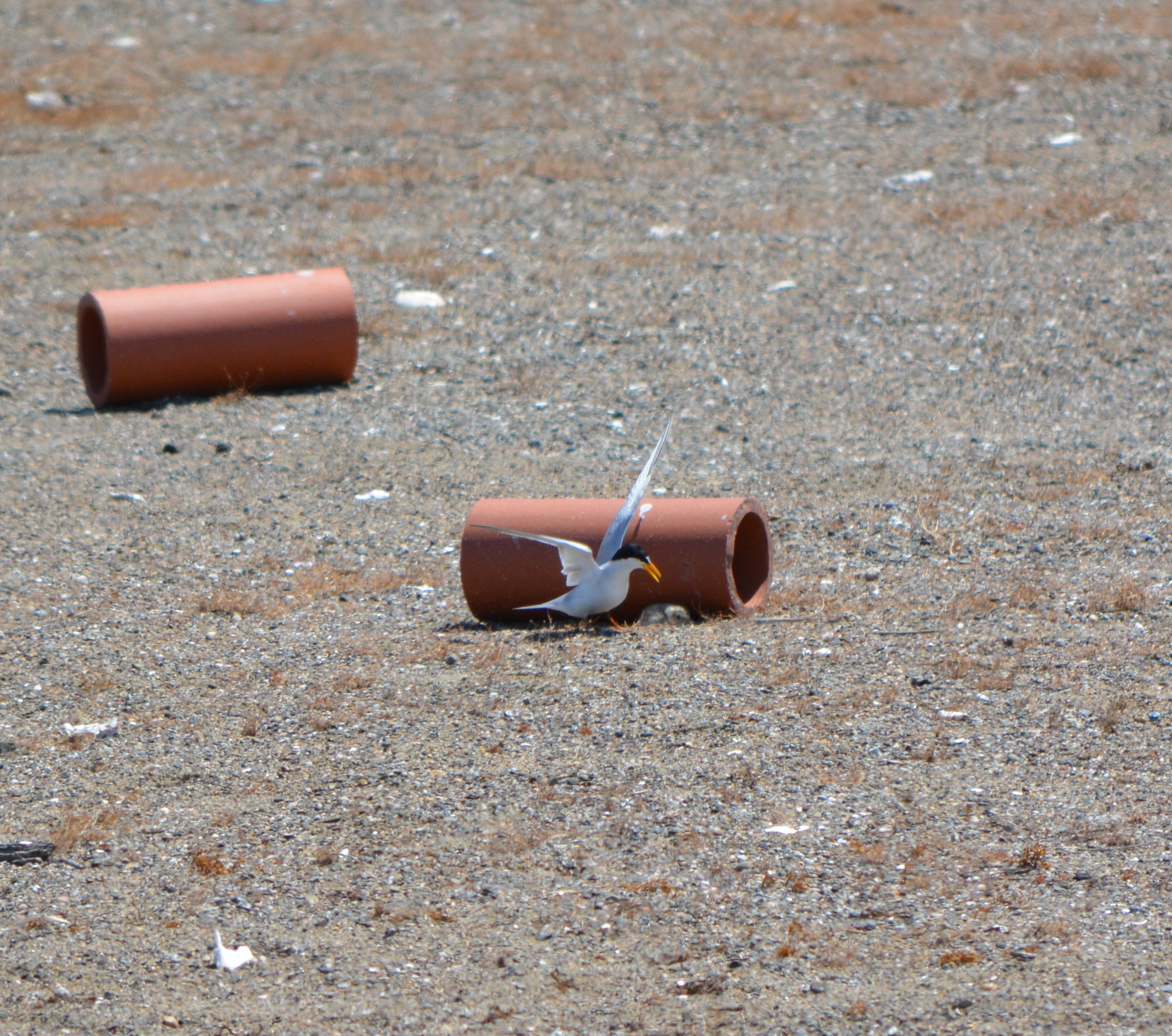
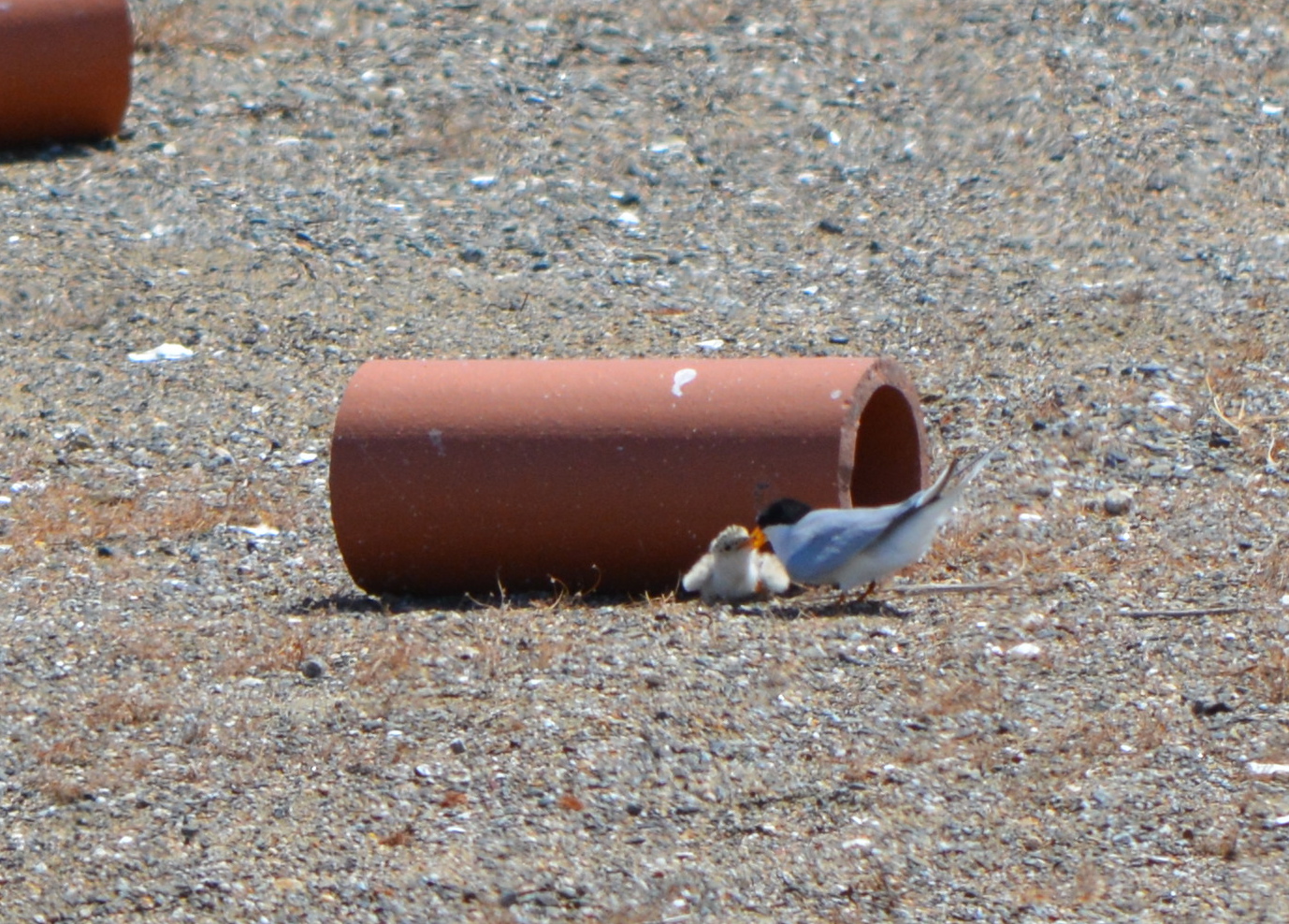
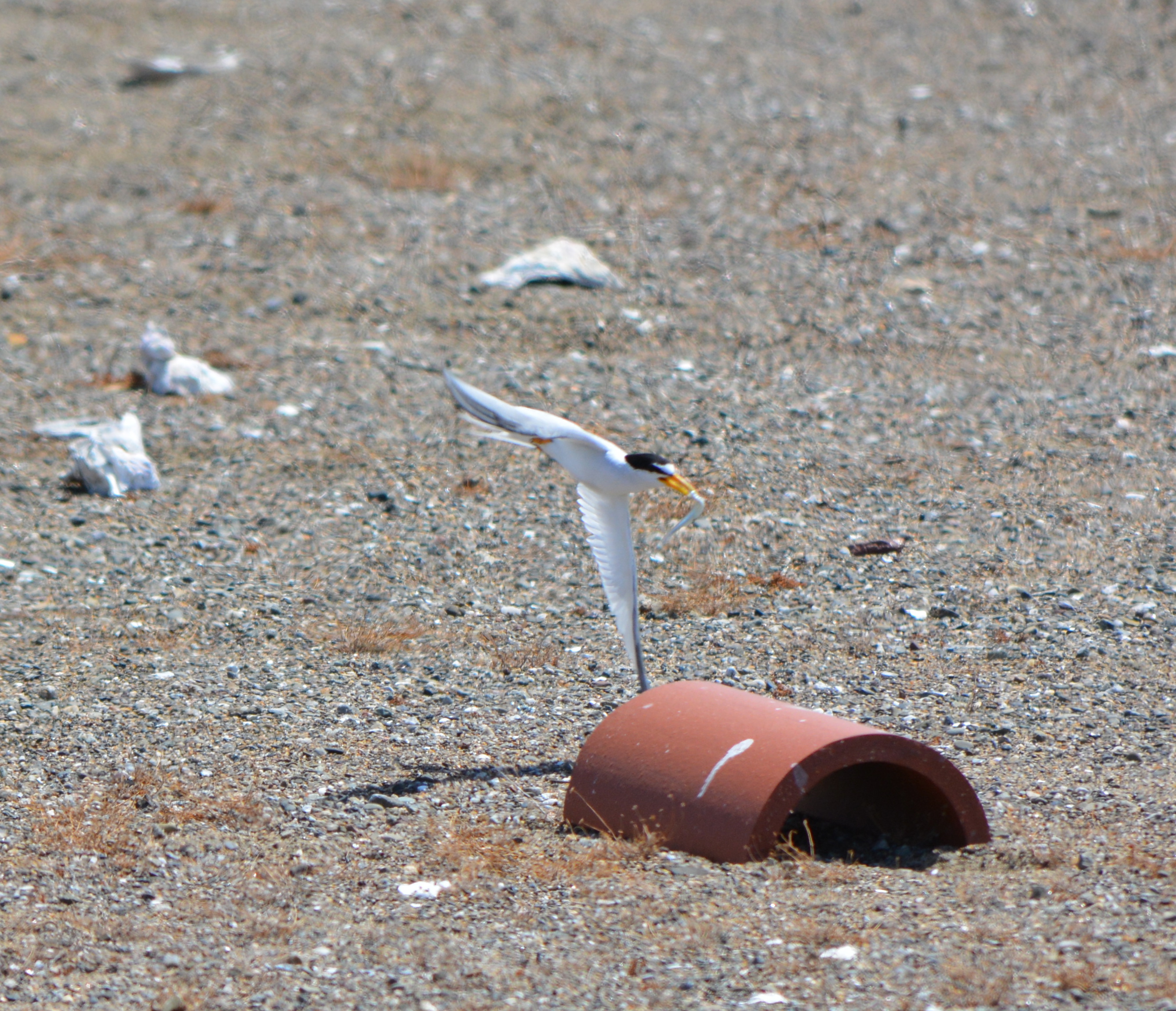
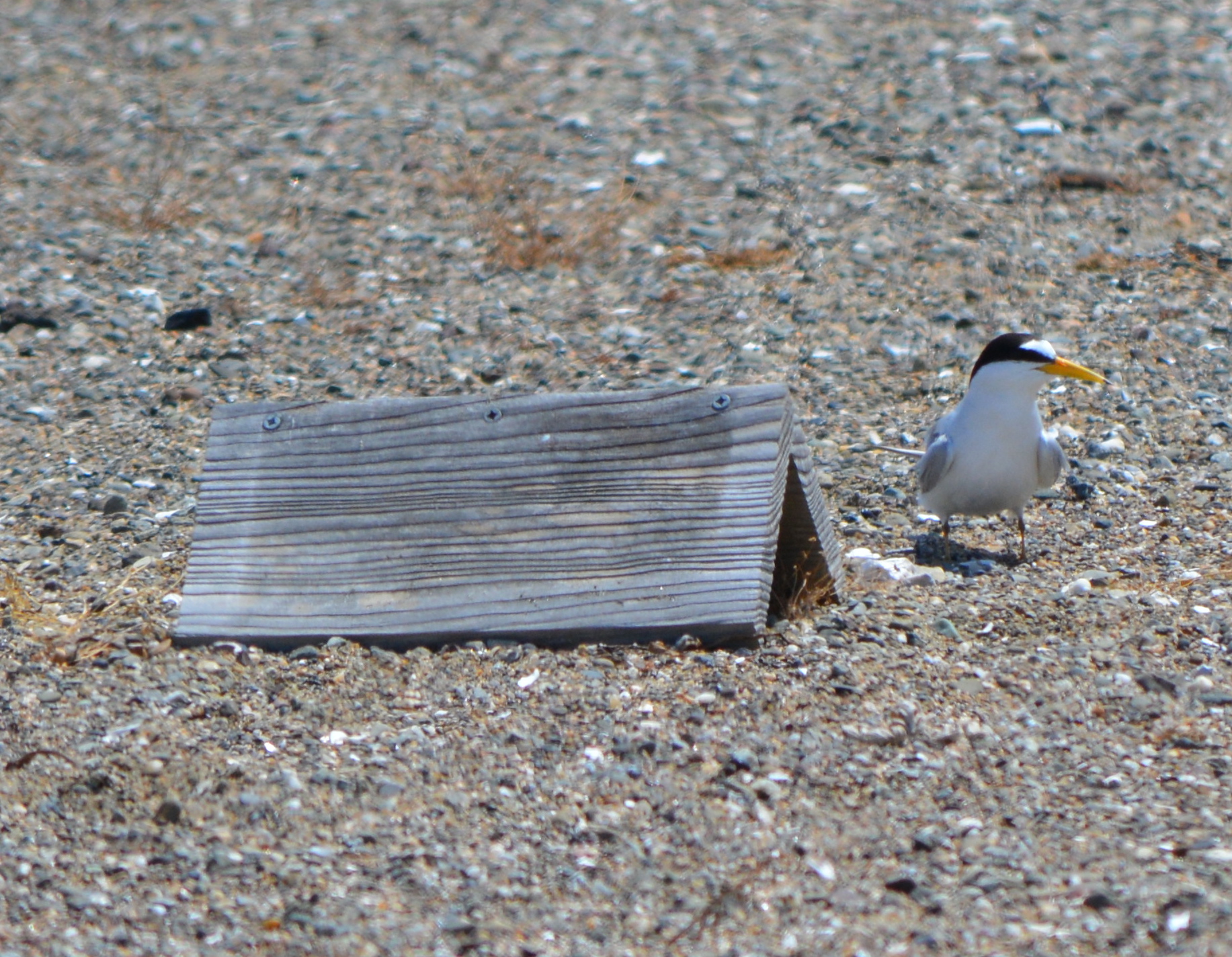
After the sand was moved into place, USFWS and volunteers set up a numbered cinderblock grid system used for recording behavior and also distributed chick shelters and oyster shells for the chicks to use as protection from the elements and predators.
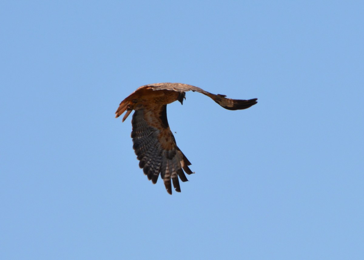
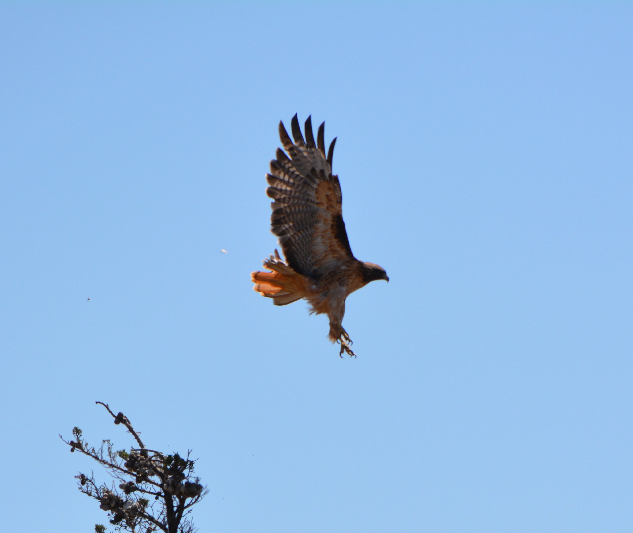
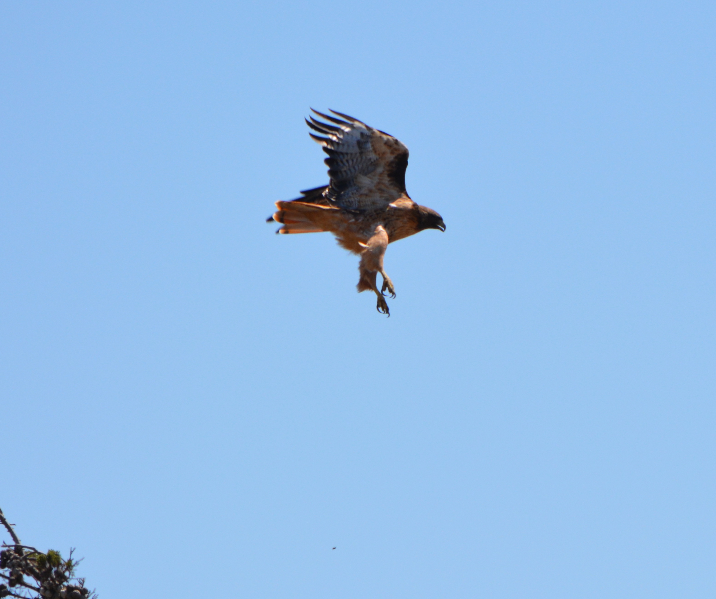
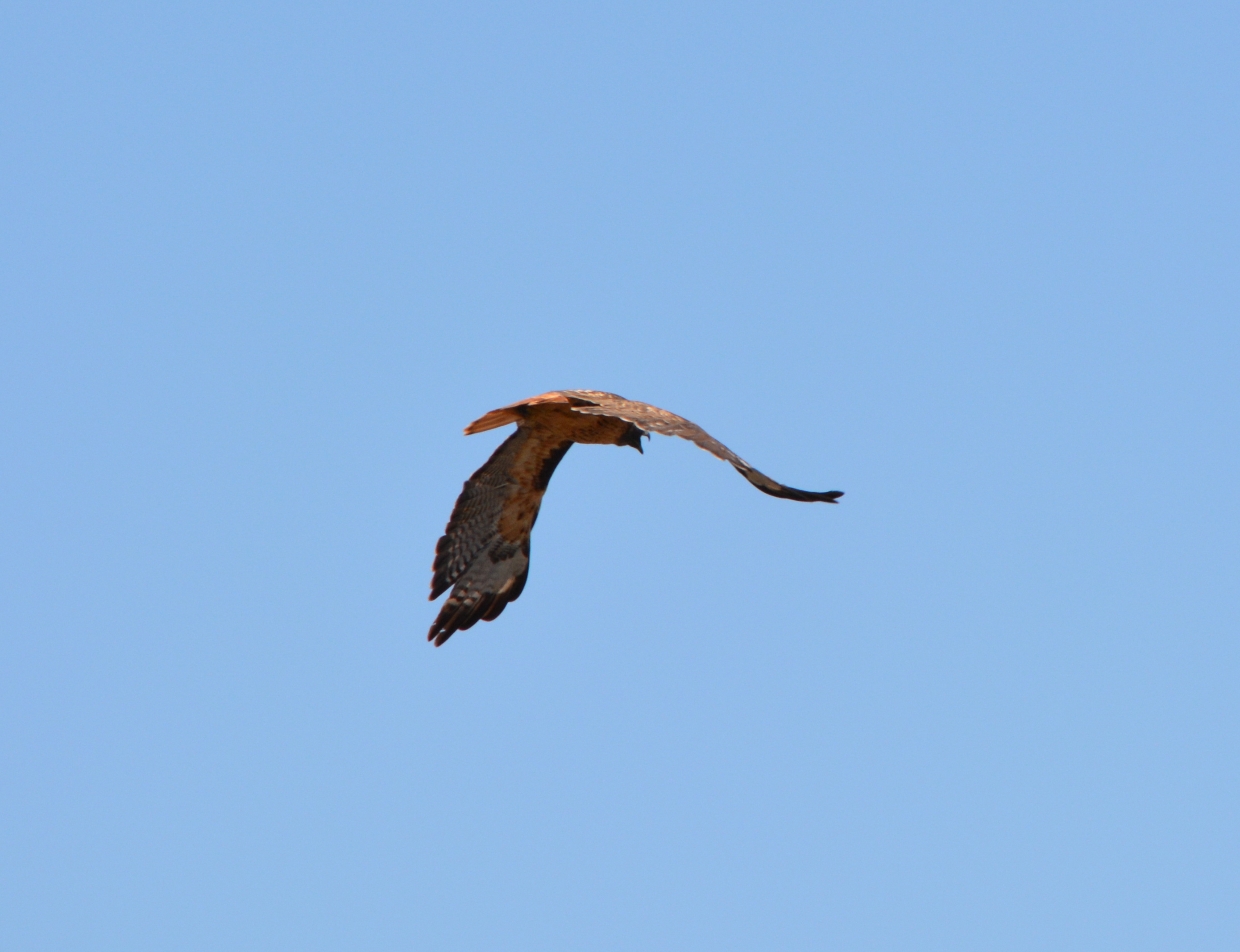
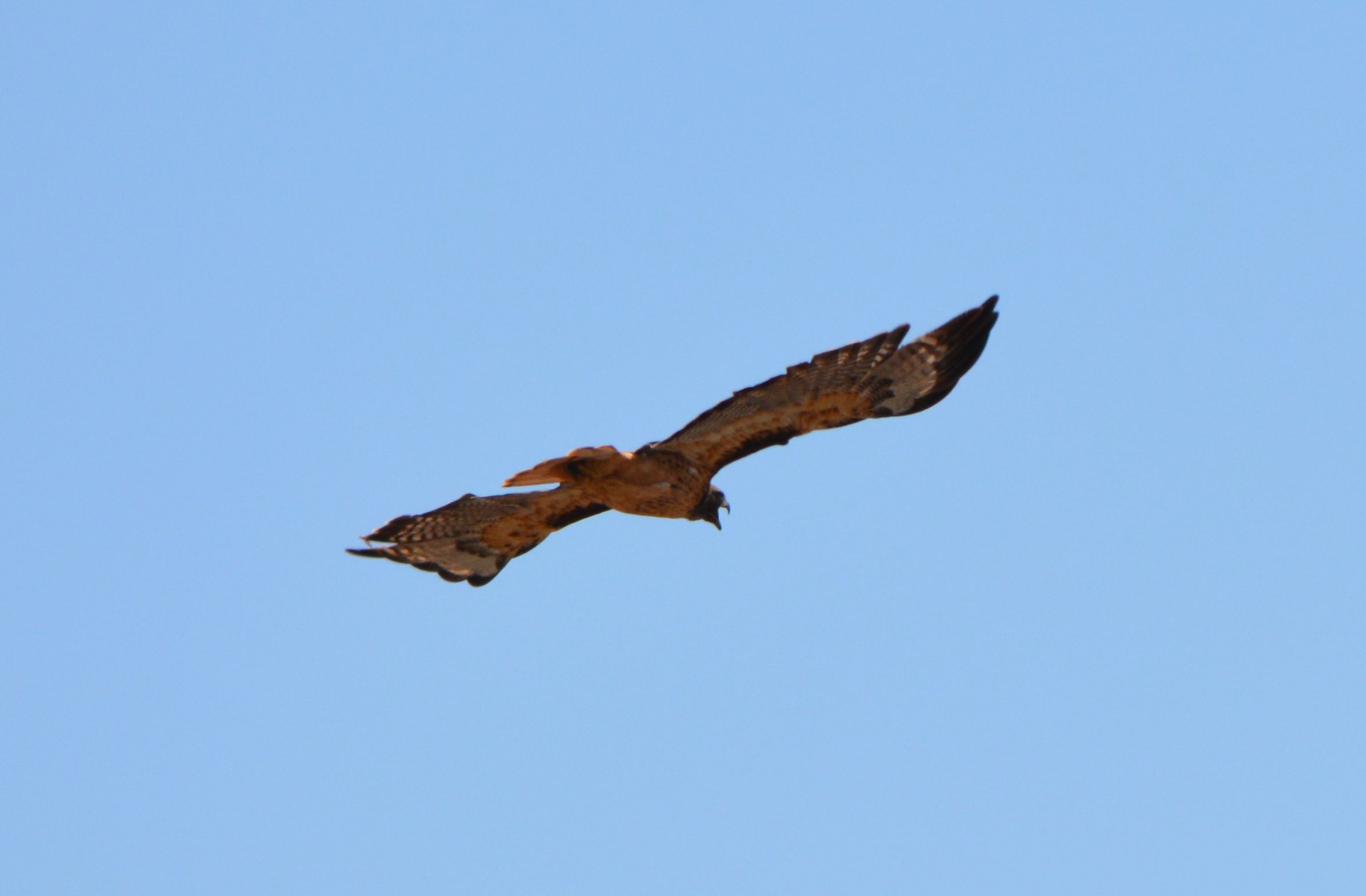
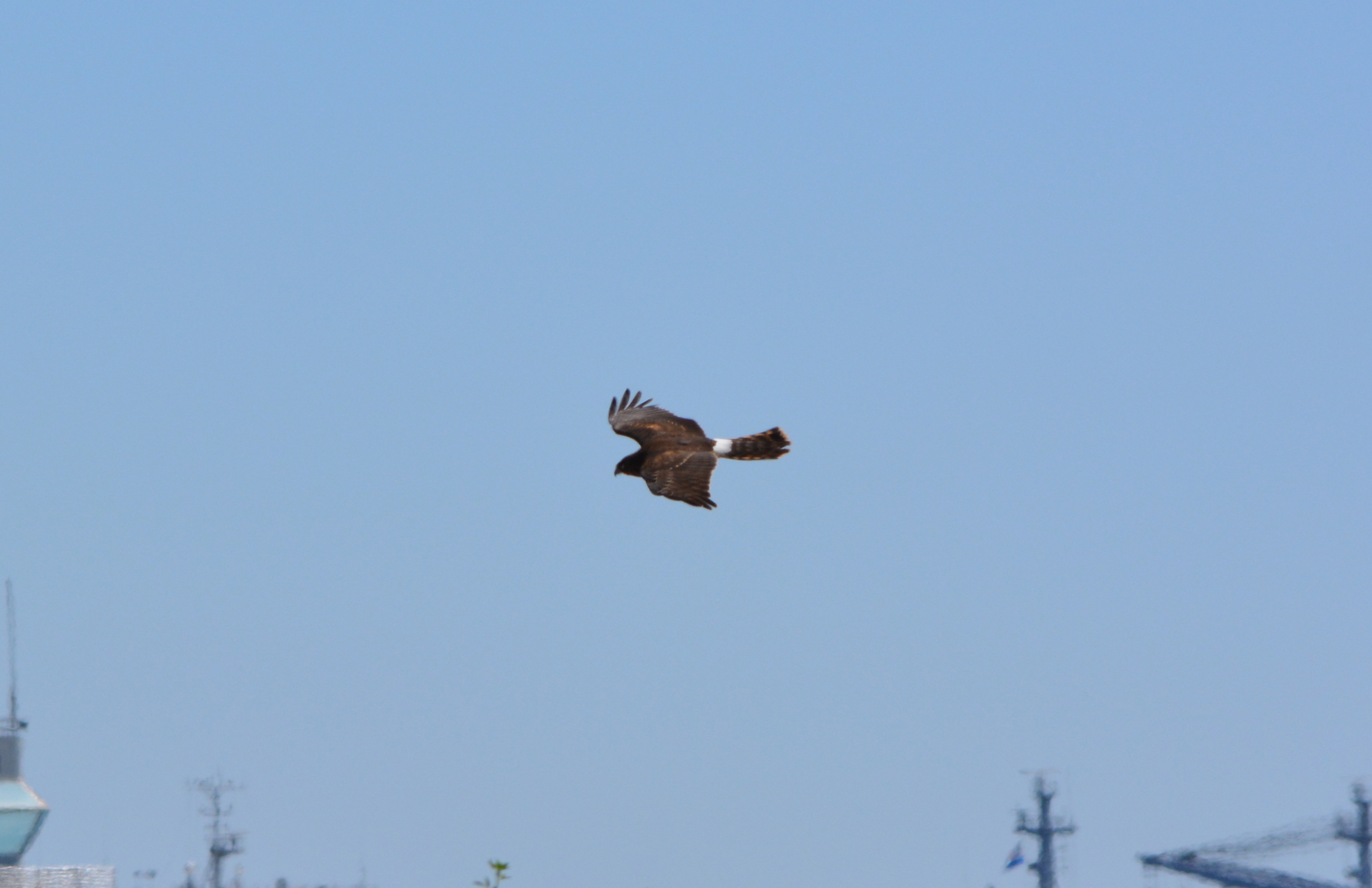
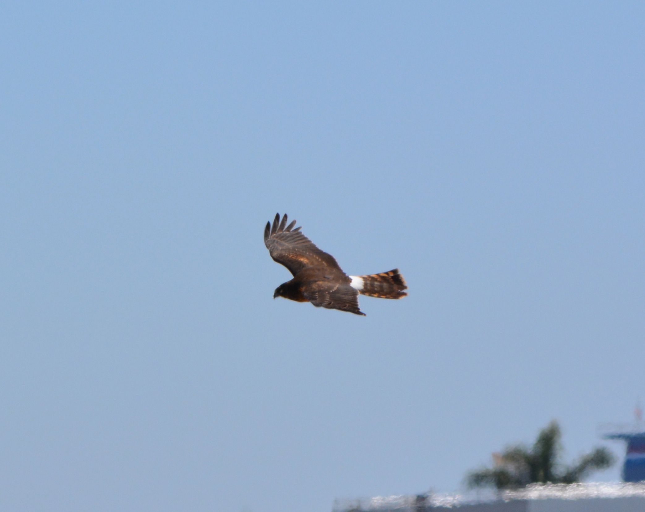
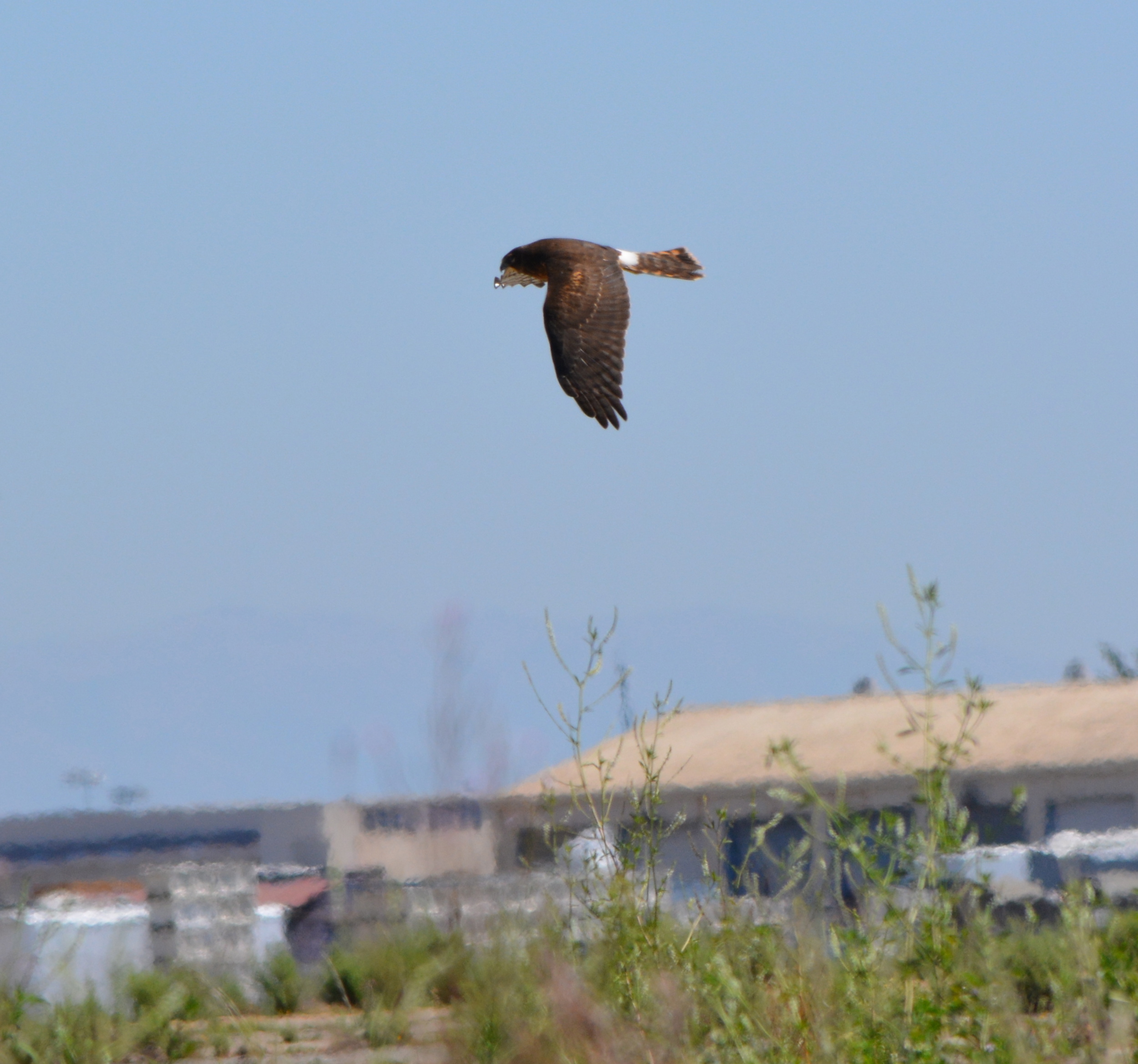
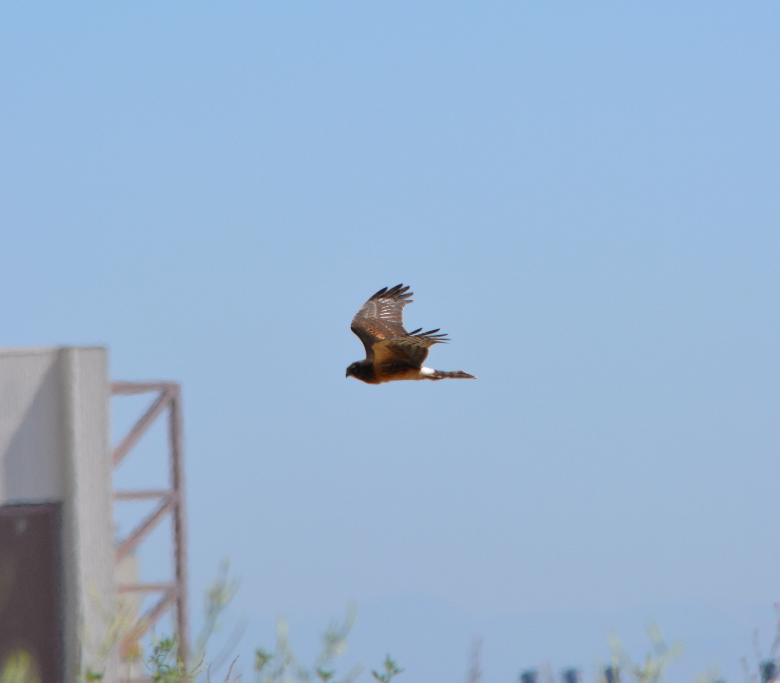
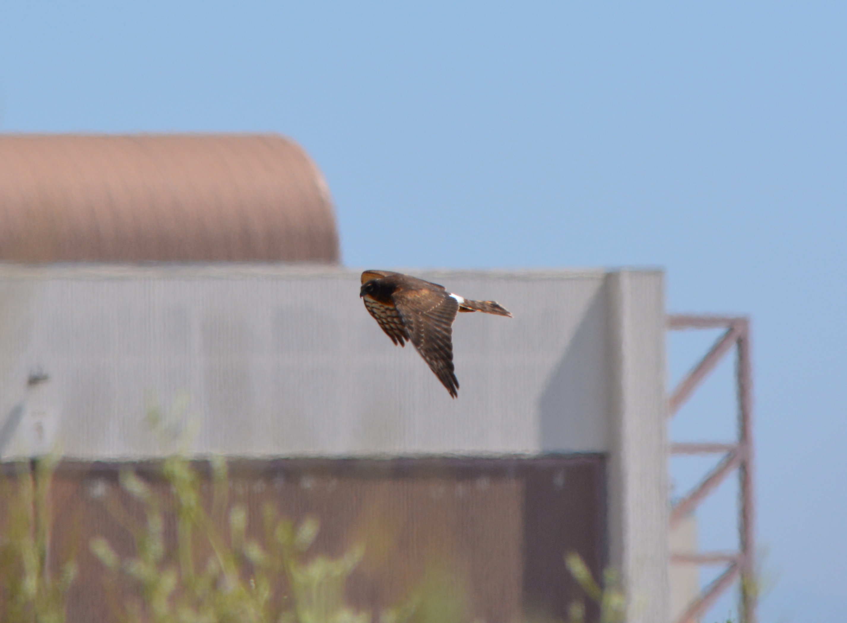
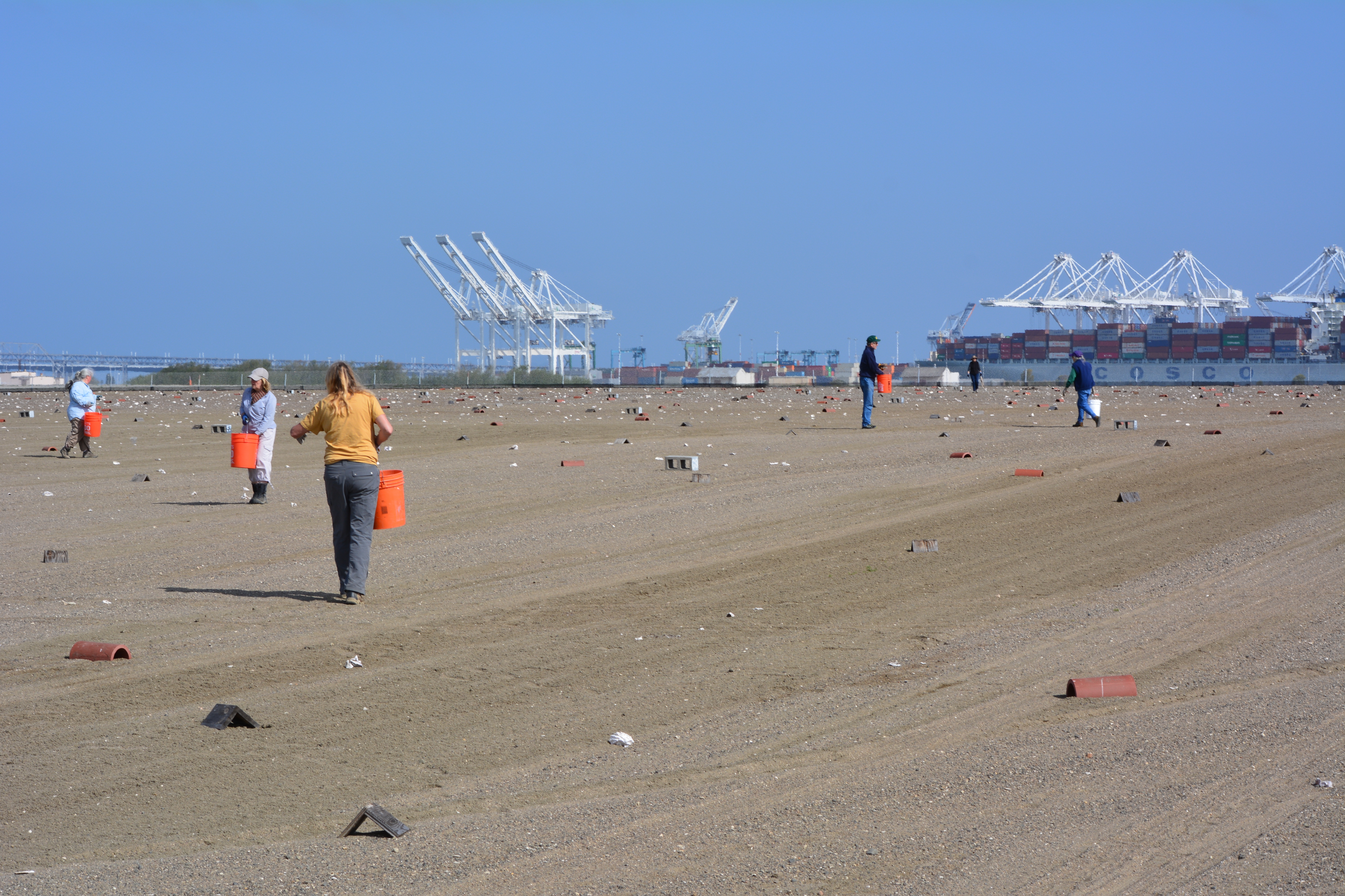
On Sunday, April 13 a dozen volunteers showed up for the last work party prior to nesting. The task of the day was distributing oyster shells around the site, which provide a nominal amount of sun protection for chicks and, in theory, helps make it more difficult for avian predators like red-tailed hawks and peregrine falcons to spot the chicks amongst all the white shells.
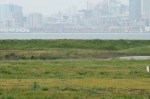
From now until the end of the nesting season in mid-August, volunteers will be participating in another program called the Tern Watch Program. Participants monitor behavior and watch for predators from their vehicles outside the nesting area.
Throughout the nesting season a USFWS biologist makes periodic walks through the site and places numbered plaster markers next to nests so that the number of eggs and success rates can be accurately recorded. If there are three eggs in a nest one week, for example, and one egg the next week with no chicks, it’s an indication that predators have grabbed the eggs.
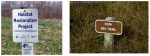
Each year following the end of the nesting season in August, volunteers at monthly work parties gather up the oyster shells, the wooden A-frames, drain tiles, grid markers, and the hundreds of numbered markers used to identify nests. Clearing the site makes it easier to remove weeds and grade the sand, which can erode during rains. The volunteers pull weeds from inside and around the perimeter of the fenced-in site. The volunteer program during the non-nesting season is organized by the Golden Gate Audubon Society’s Friends of the Alameda Wildlife Reserve committee, in conjunction with the USFWS biologist in charge of the Alameda Point tern colony.
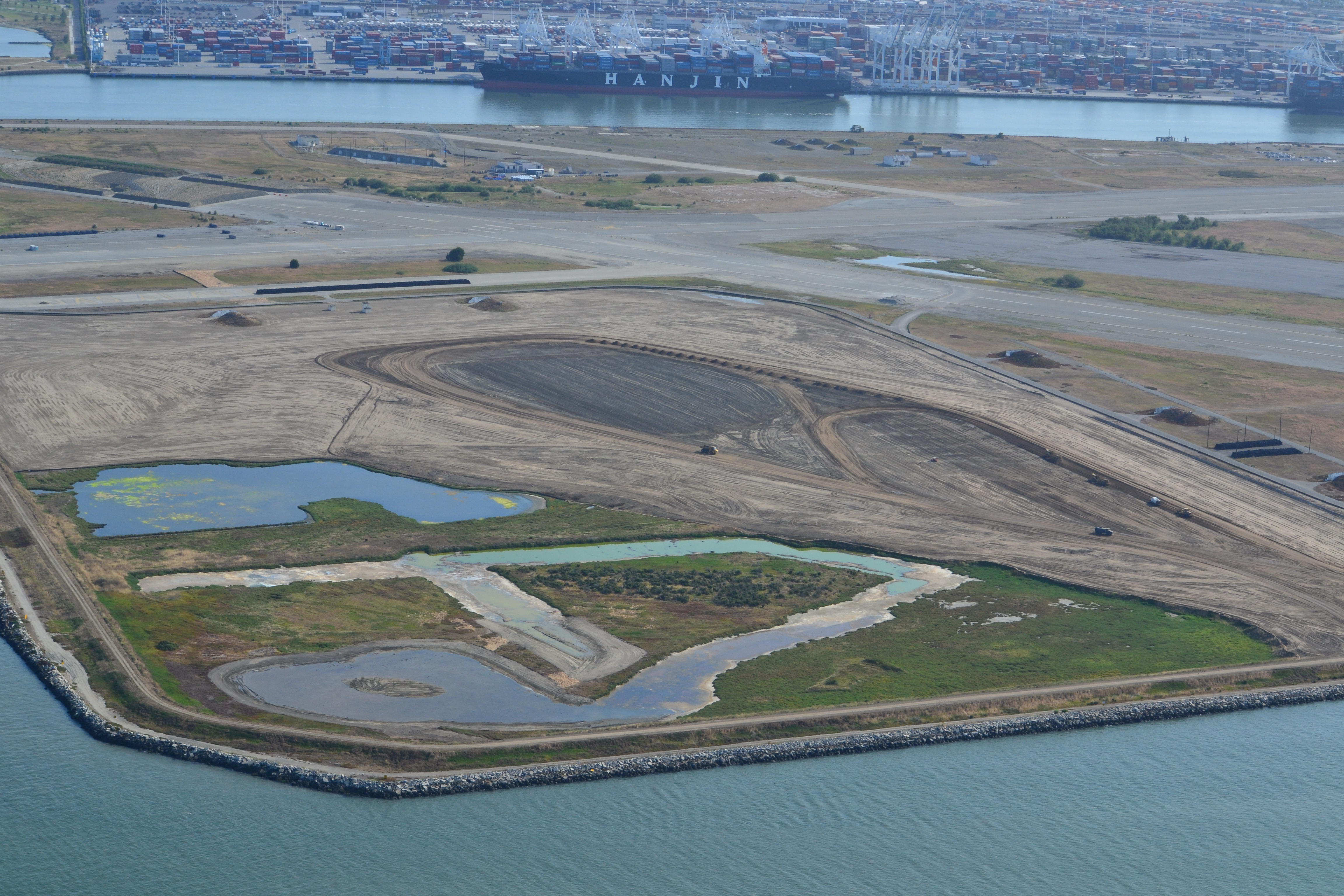
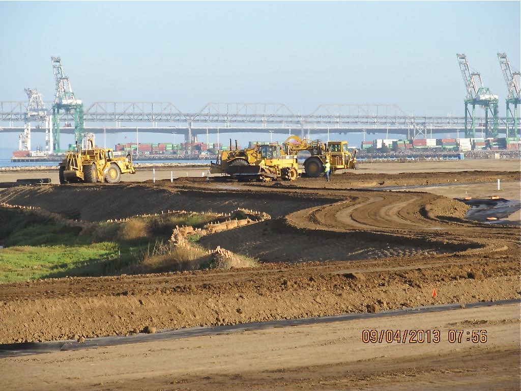
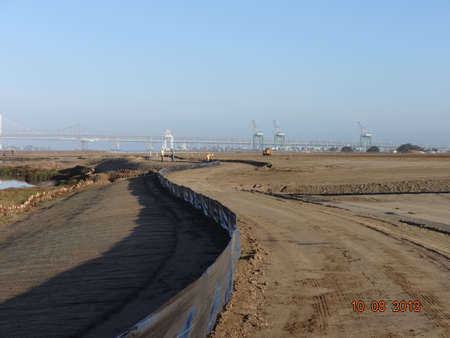
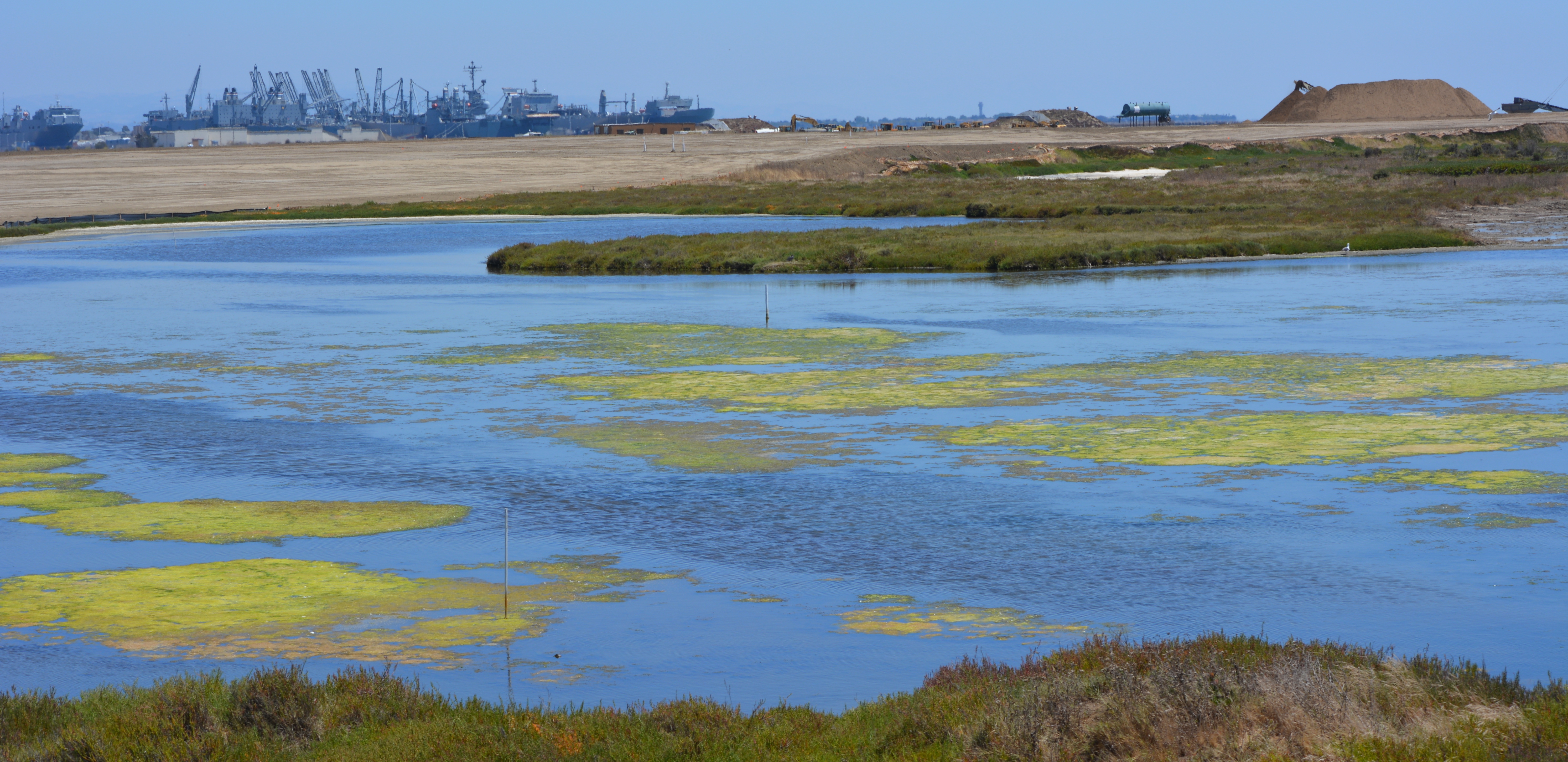
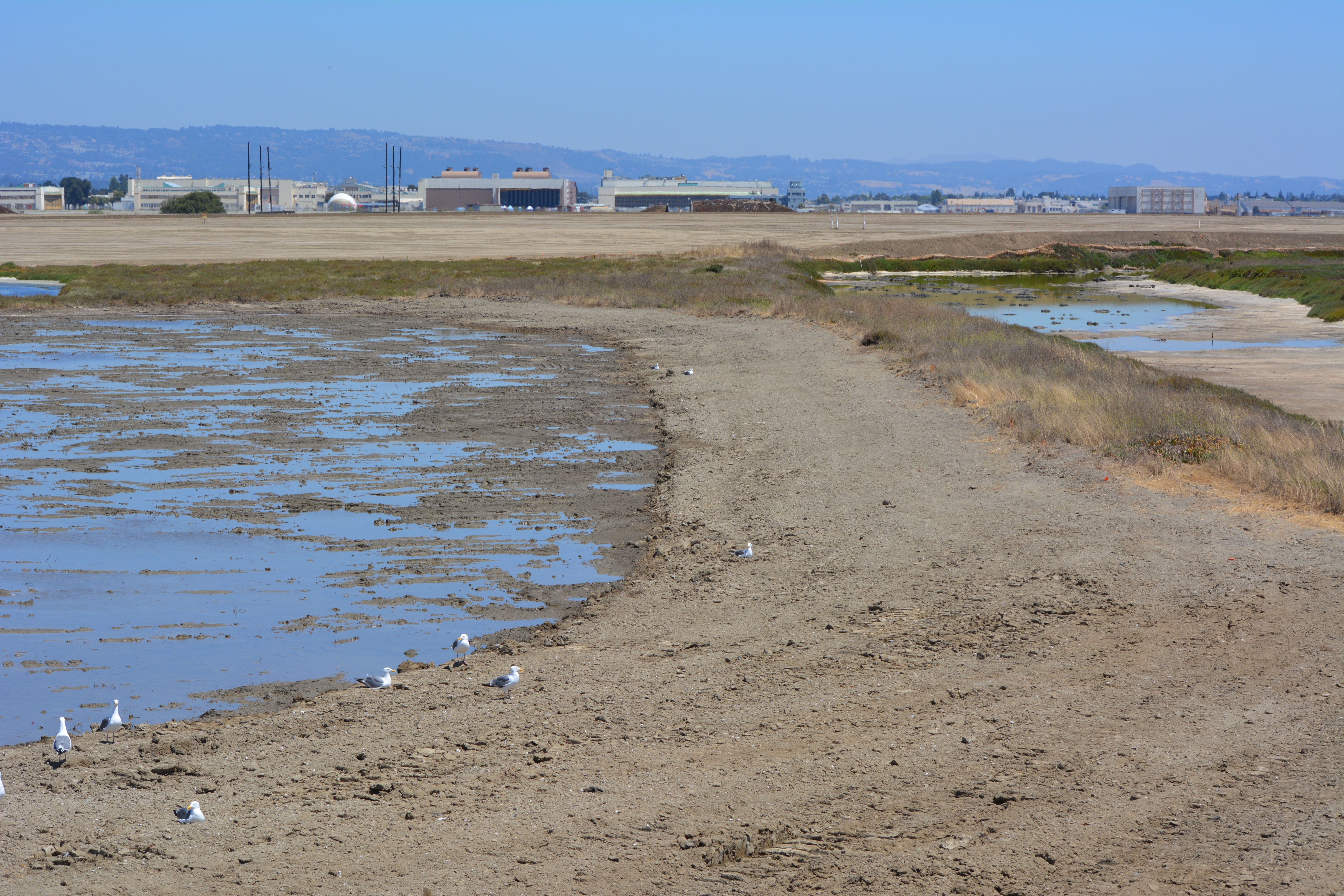
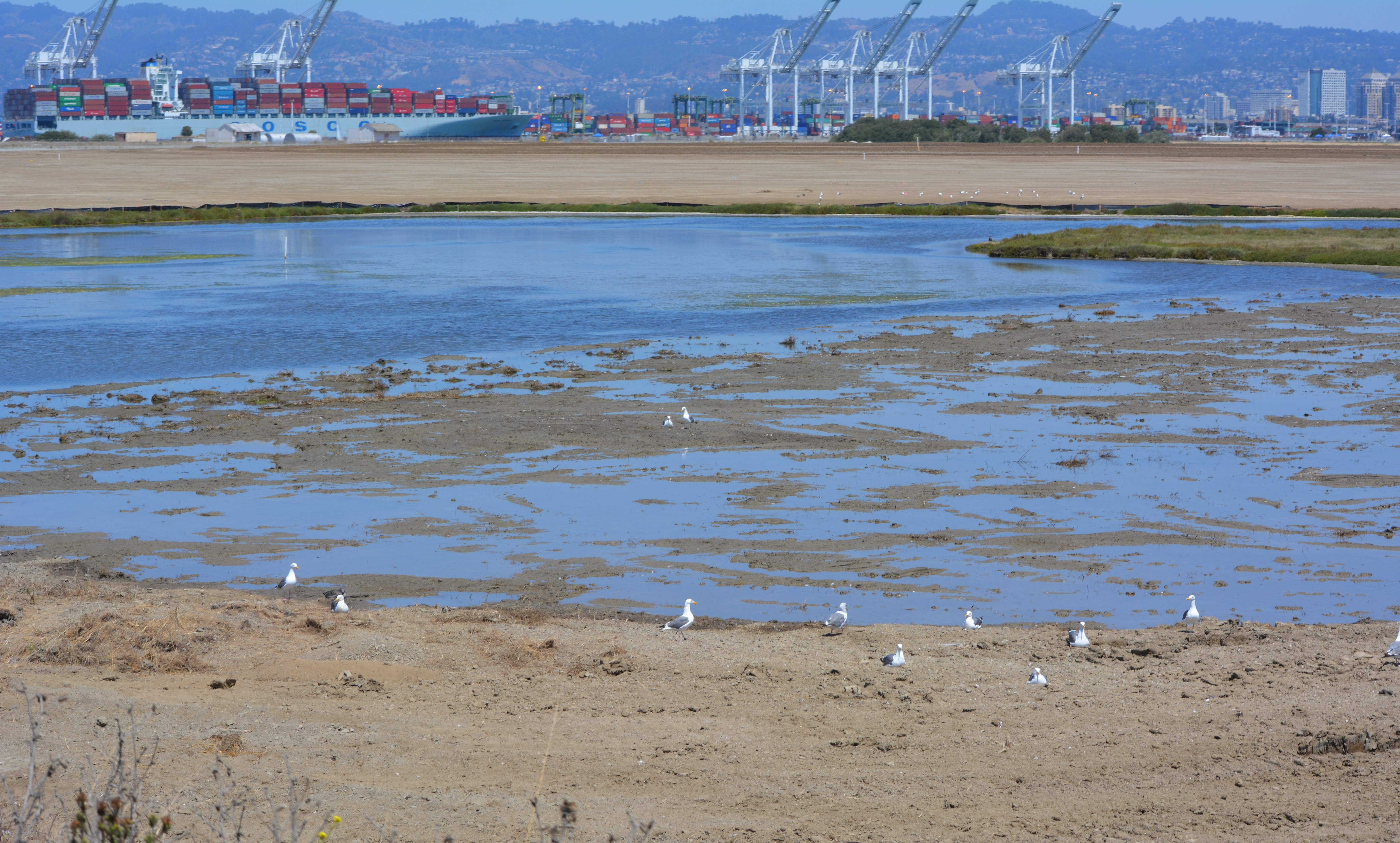
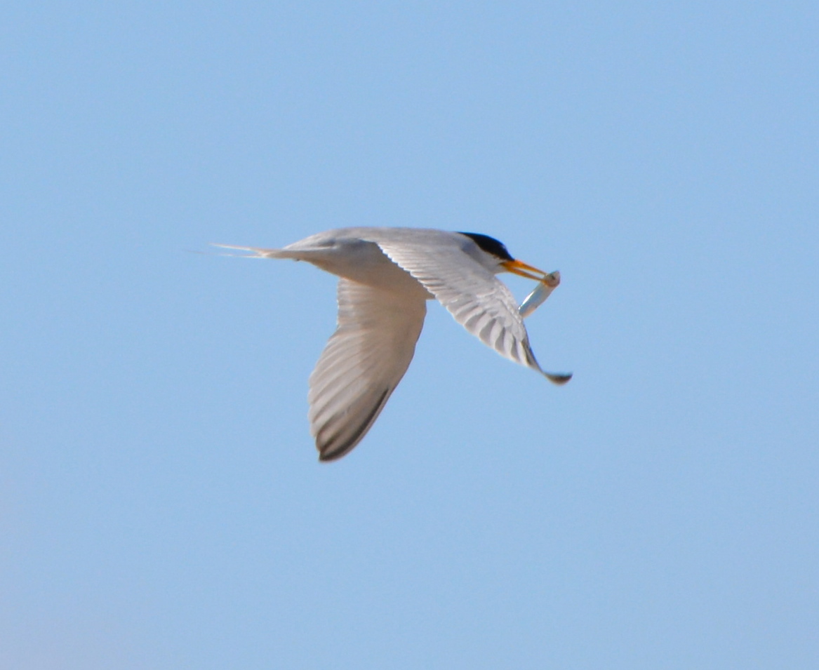
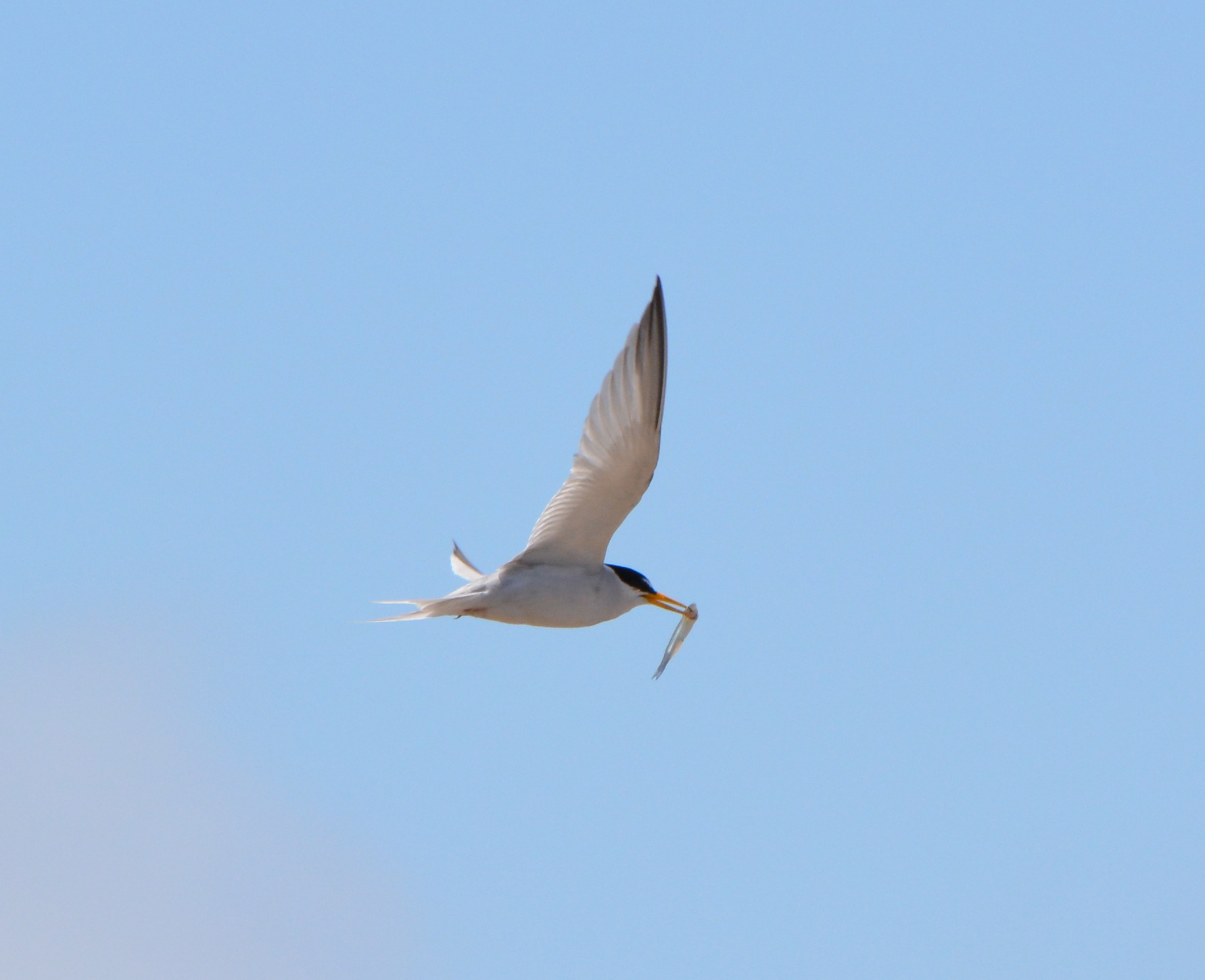
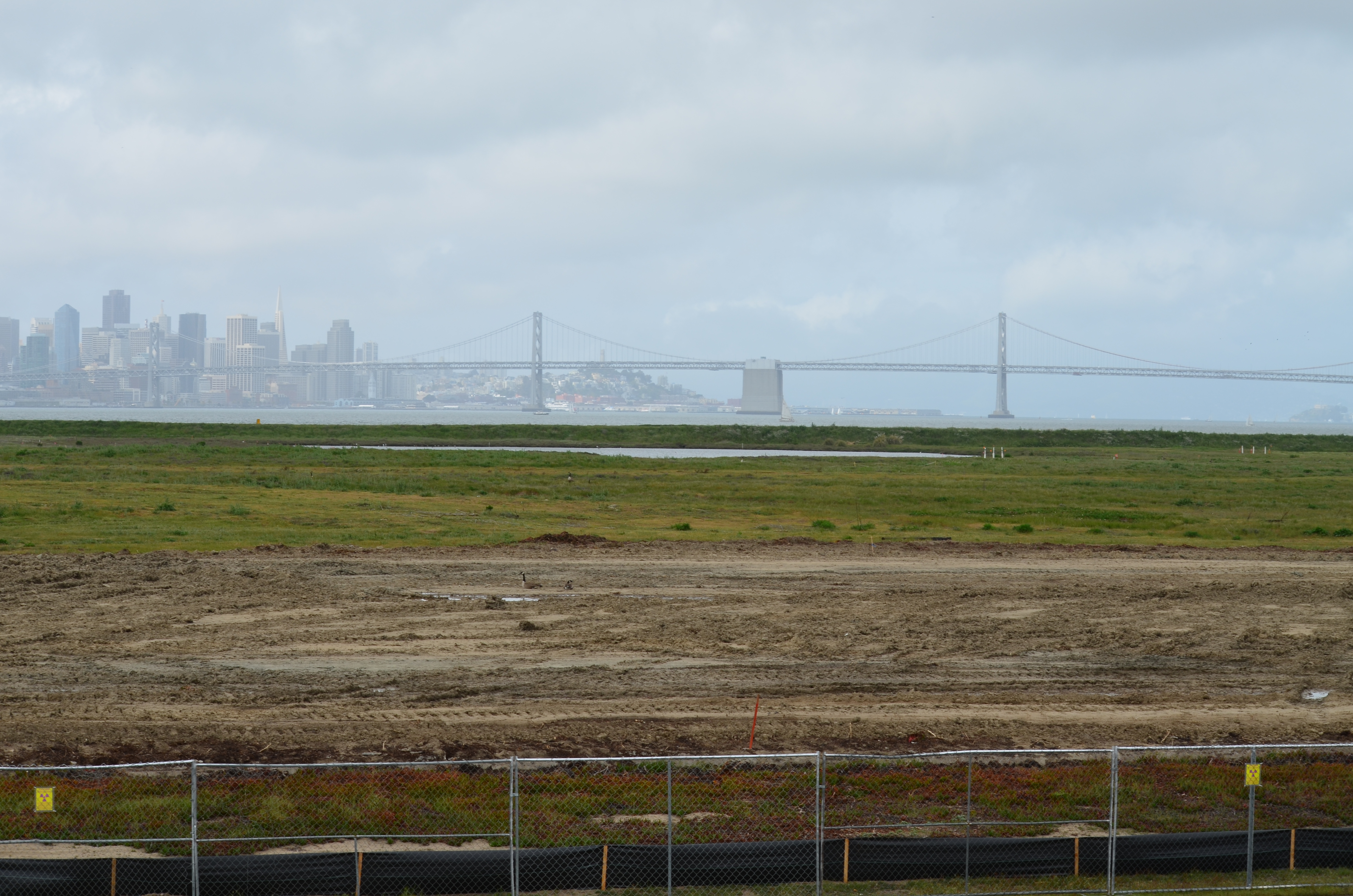
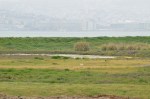
The effort to protect the least terns was begun by the Navy when nesting activities were first noticed in the 1980s. The likely reason for the terns choosing such an unlikely place to nest was the absence of people who might trample on the nests. The nesting site was chosen by the terns, not by the Navy or USFWS, and has been expanded to its current size as the colony expanded. The sandy substrate that approximates the traditional beach nesting habitat for terns is on top of old airfield pavement. Due to erosion caused by wind and rain, the sand has to be periodically replaced, as it was in 2009 and 2011.
Training sessions for this year’s Tern Watch Program will be held at the USFWS office at Alameda Point on April 26, April 30, May 28, and May 31. Volunteers do not have to be a bird expert, just be very interested in observing and reporting about them. Participants are required to attend one training session and commit to signing up for a minimum of three of the 3-hour shifts. Also required are binoculars, cell phone, and personal vehicle. Reservations for the training sessions can be made by calling Susan Euing at 510 521-9717 or by emailing susan_euing@yahoo.com. Directions and registration materials will be sent by email.
The annual Return of the Terns bus tour to the nesting area will be held on June 14 this year. The tour departs from the Crab Cove Visitor Center in Alameda. Registration required through the East Bay Regional Park District’s website or at the visitor center.
Reprinted on the Golden Gate Audubon Society’s Golden Gate Birder blog.