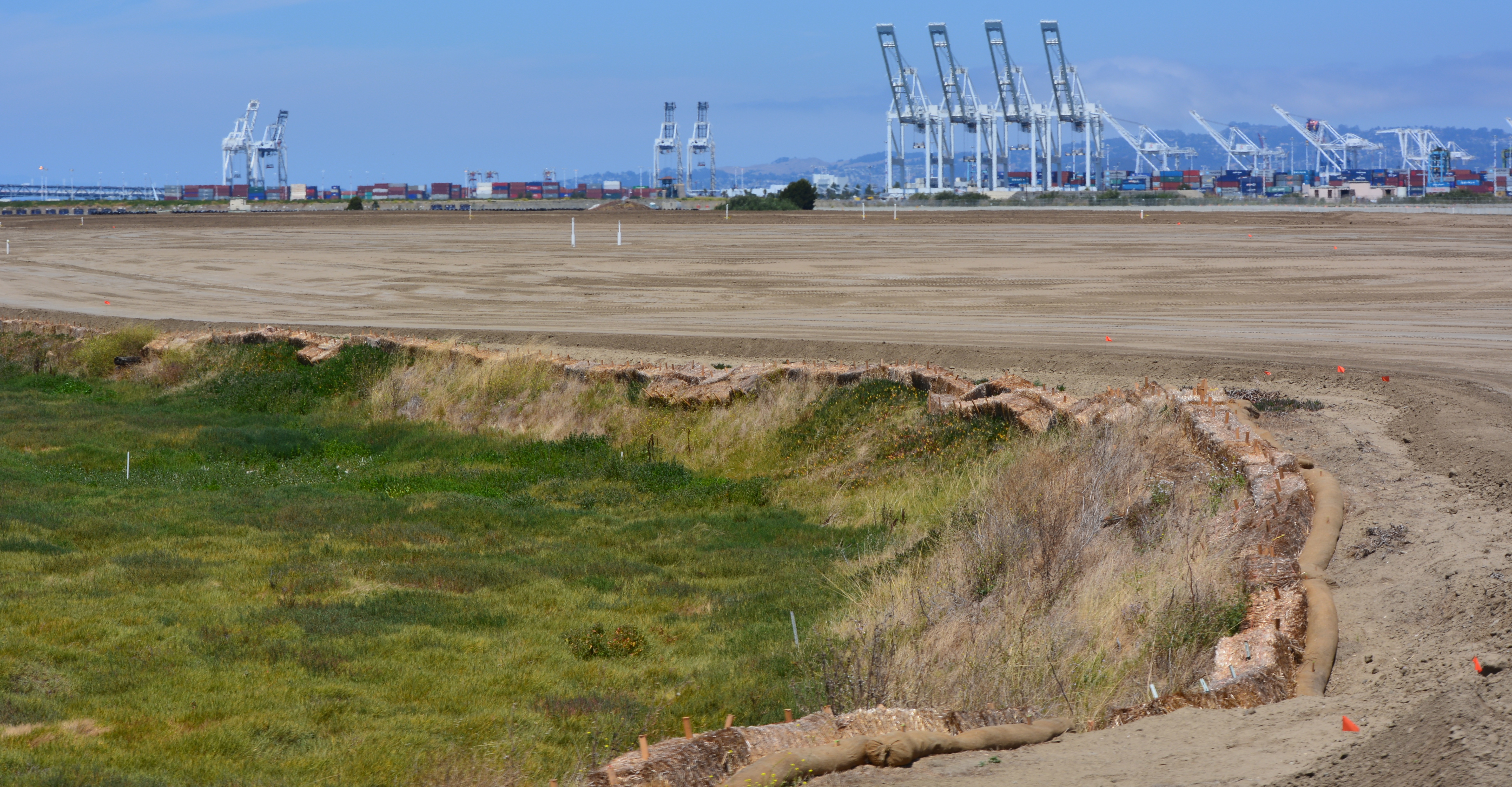
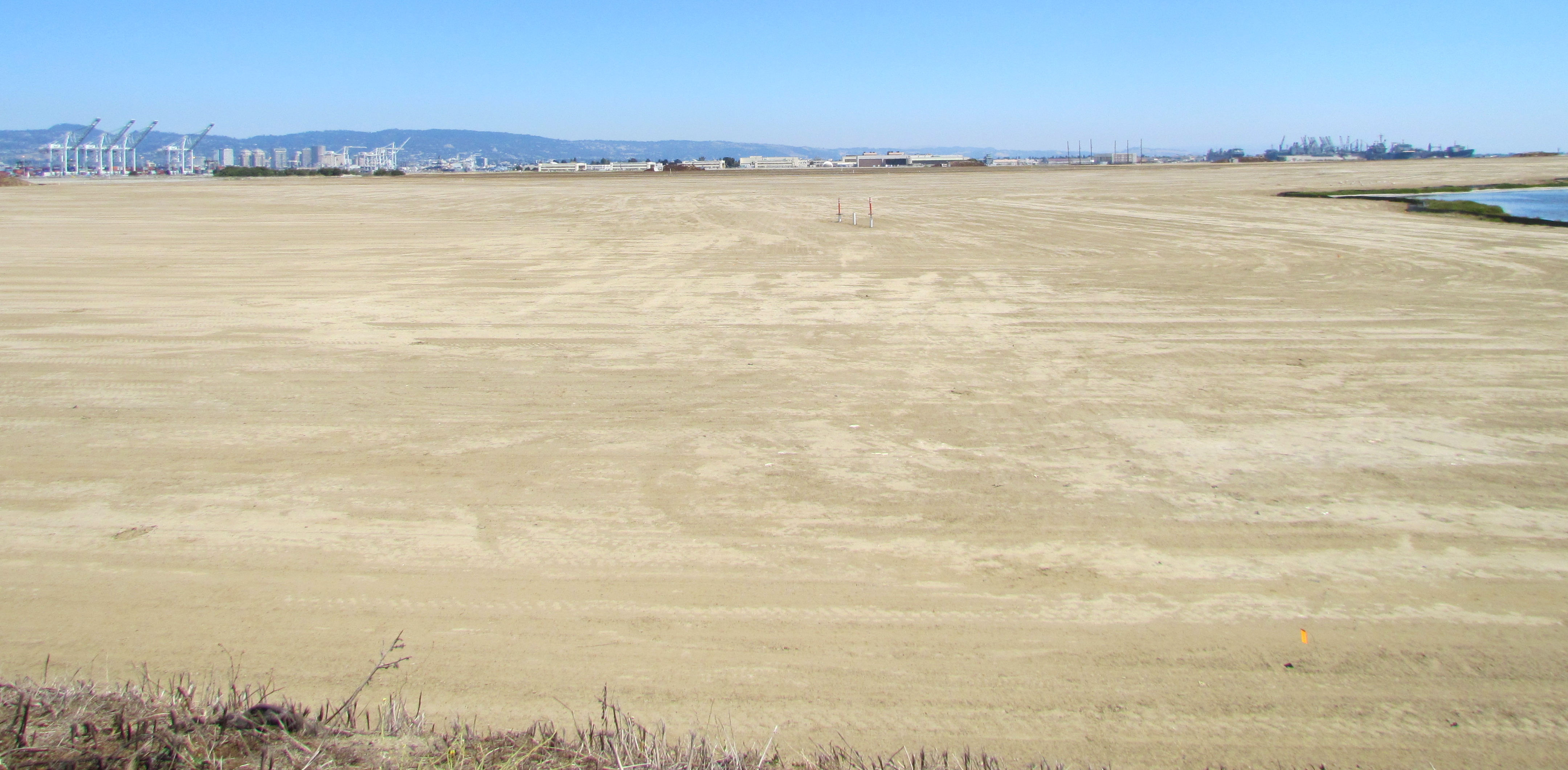
On August 3, 2013, the Navy’s annual environmental cleanup tour visited the worksite known as Site 2 on the southwest corner of Alameda Point. Work has been underway at the site since early this year, constructing a 79-acre soil cover atop the old waste disposal area. Due to budget cutbacks this year, only the Restoration Advisory Board was taken on the tour.
The site was closed for waste disposal in the mid-1980s and given a soil cover that did not meet landfill closure standards. For more than a decade after it was added to the Superfund cleanup program, the regulatory agencies and the Navy went back and forth about how best to close the site in an environmentally safe manner.
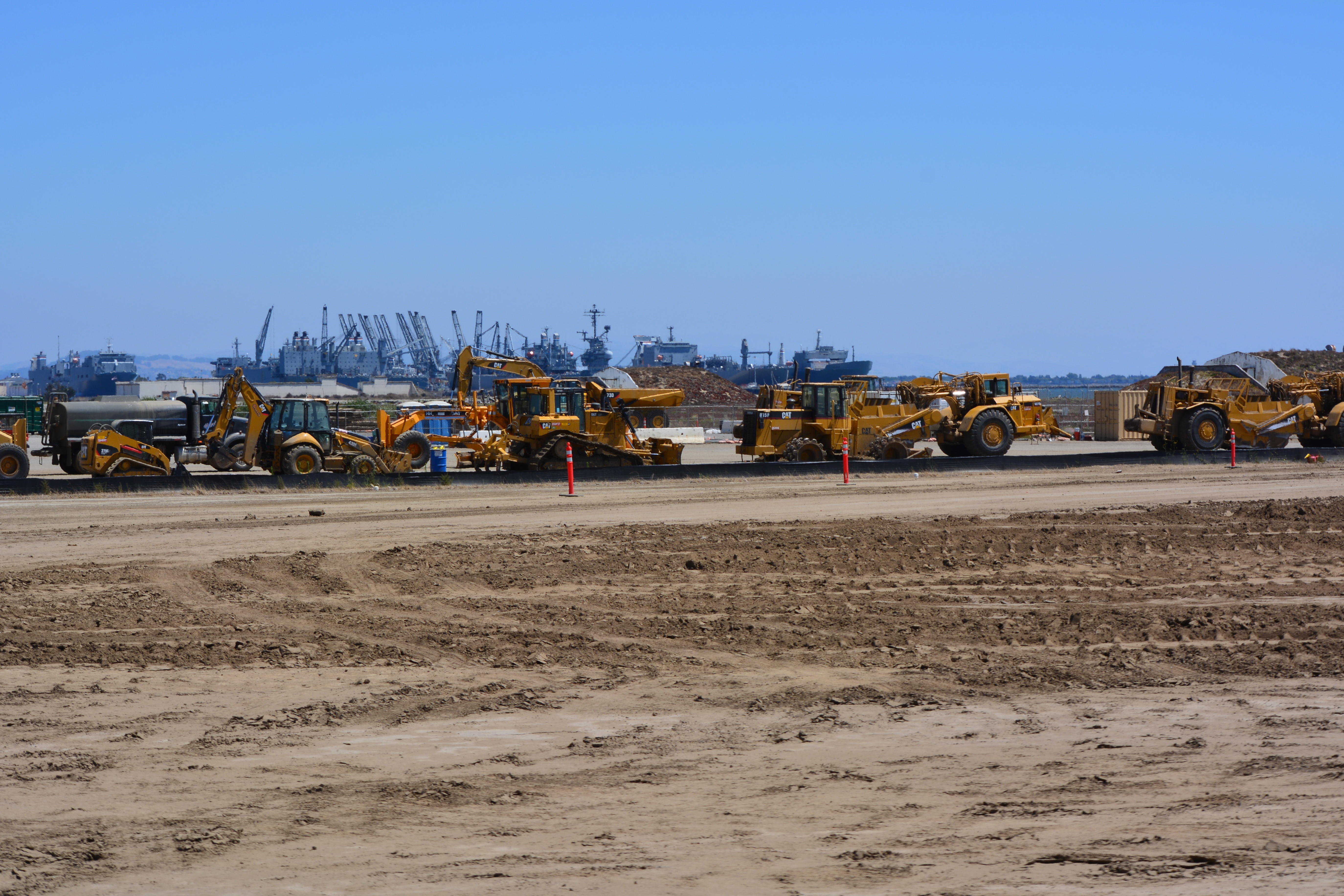
The slope of the soil cover is so important to the engineering design that the blades on the graders are not even controlled by the driver. Blades on the graders, and even the bulldozer, are controlled by an onboard computer that uses a GPS satellite to maintain a uniform elevation. The engineering concept for this soil cover is to minimize the slope so as to minimize movement in an earthquake, while at the same time providing for drainage.
Soon the contractor will be laying down a 200-mil-thick HDPE geonetting material to act as a barrier to burrowing animals. Next, they will add two more feet of soil before installing monitoring equipment, drainage features, access road, and seeding the soil with a variety of California native grasses. Seeding is planned for this fall before the rainy season.
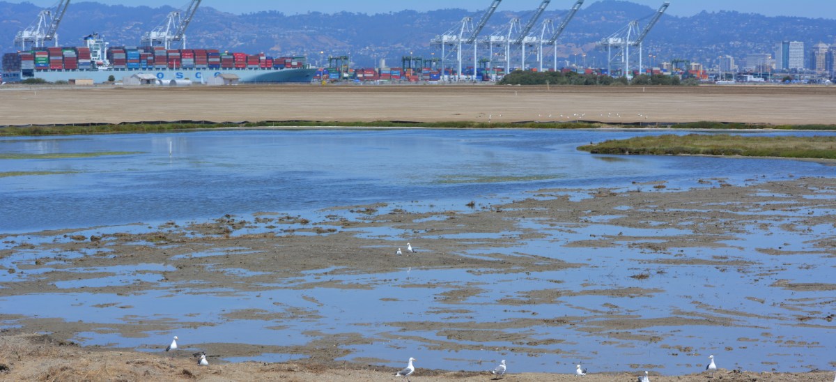
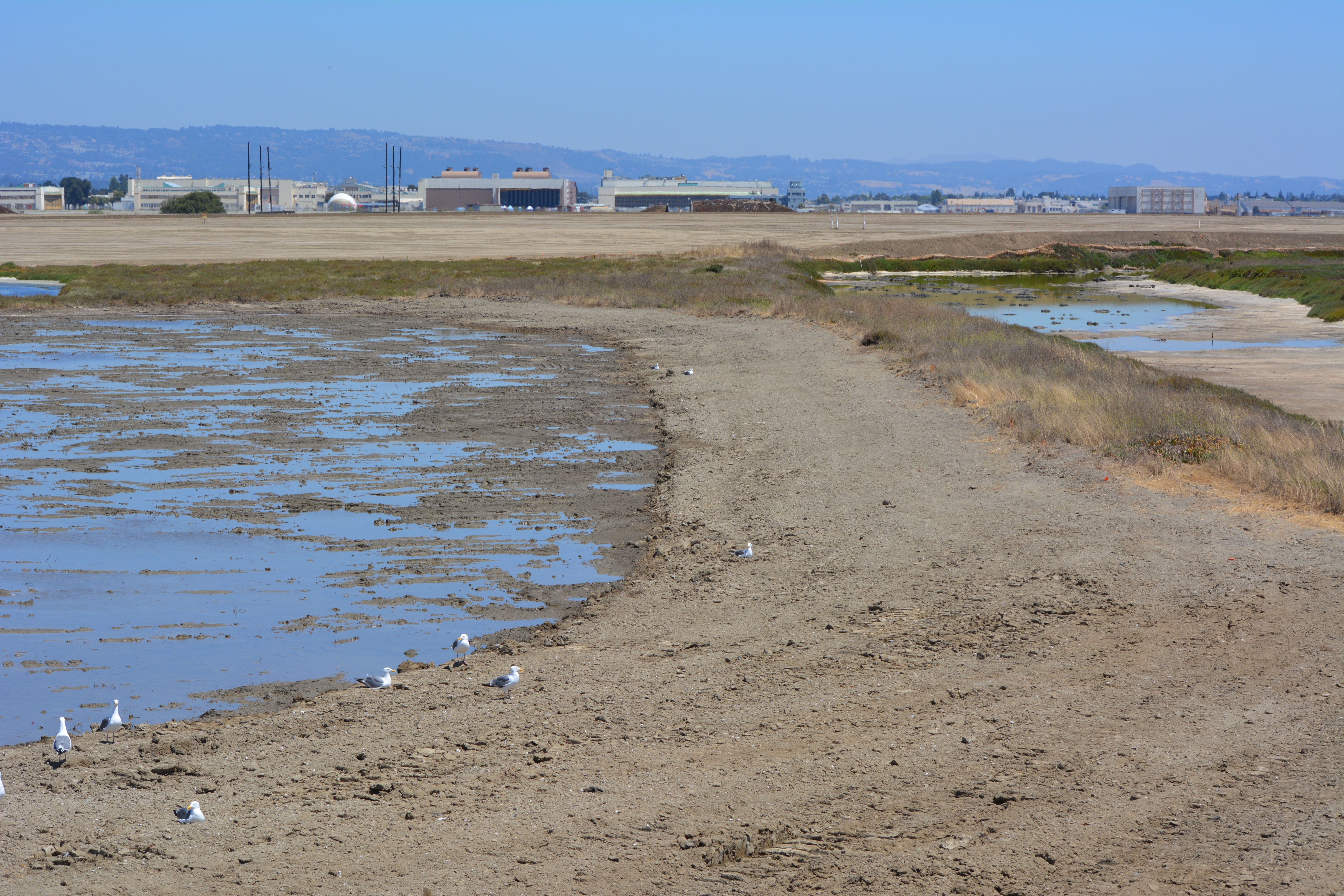
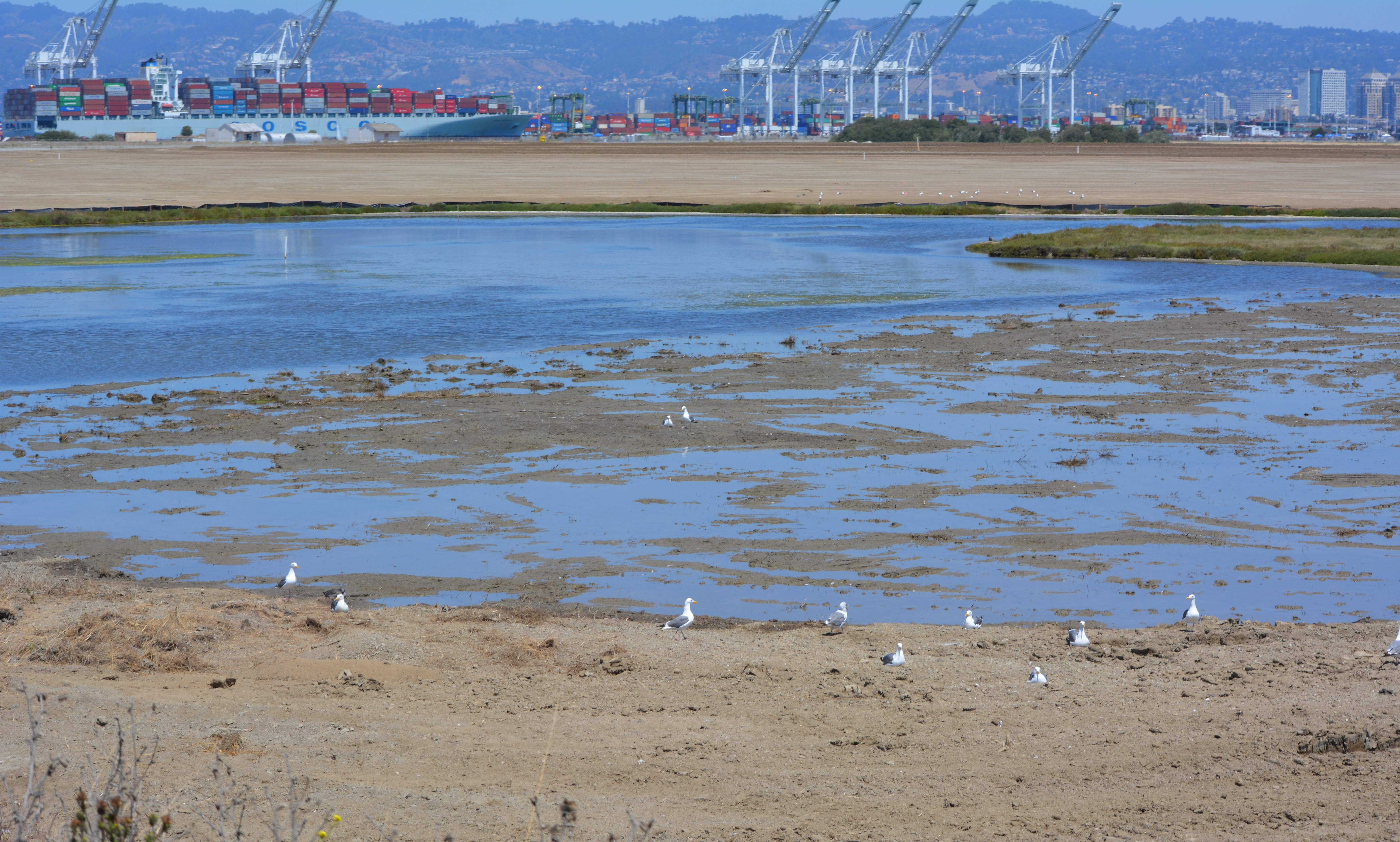
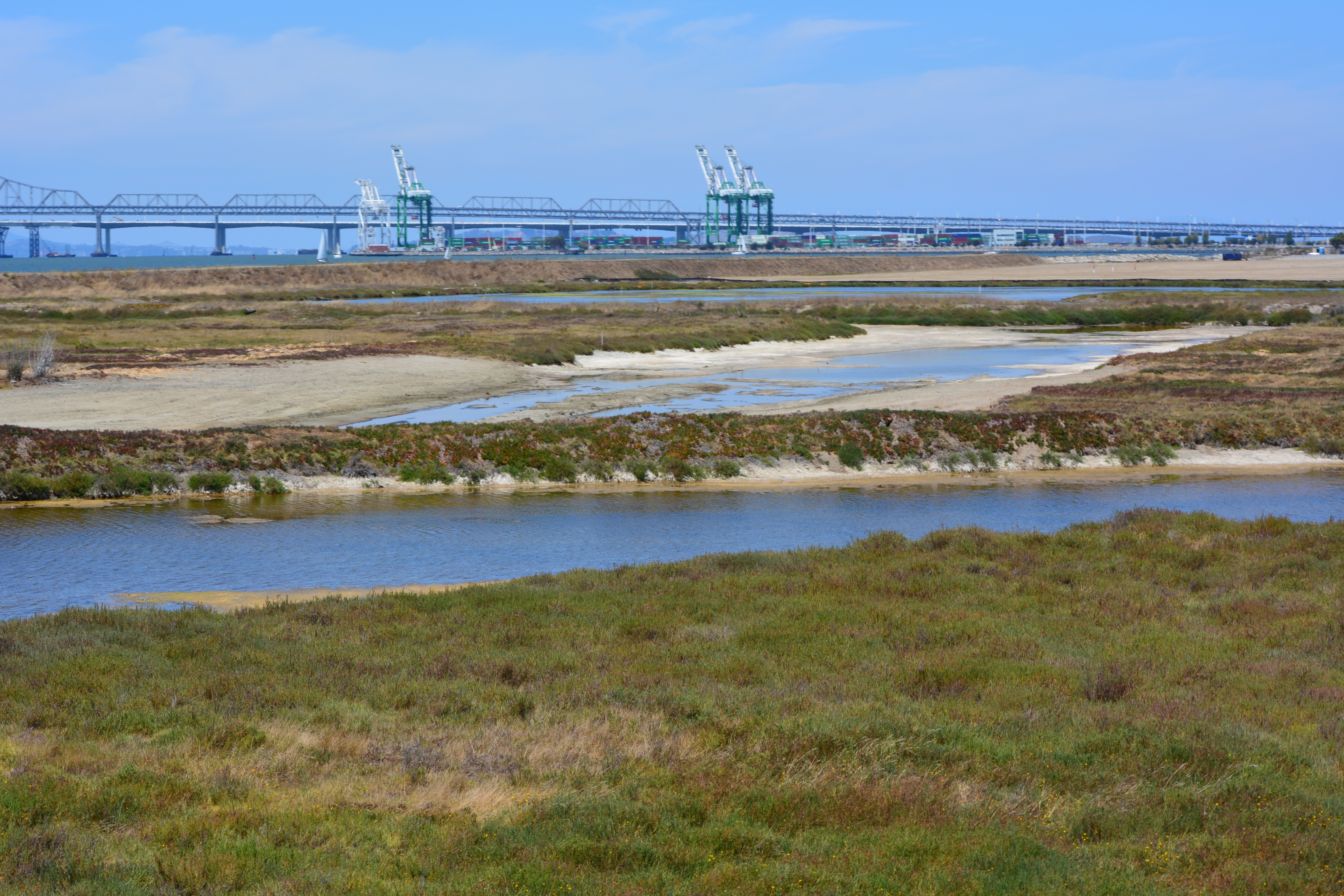
The 30-acre wetland area is not contaminated, but it will receive some upgrades with additional wetland. There is both a freshwater wetland area fed by rainwater, and a saltwater wetland area connected to San Francisco Bay via an underground culvert. The culvert will be replaced due to its age.
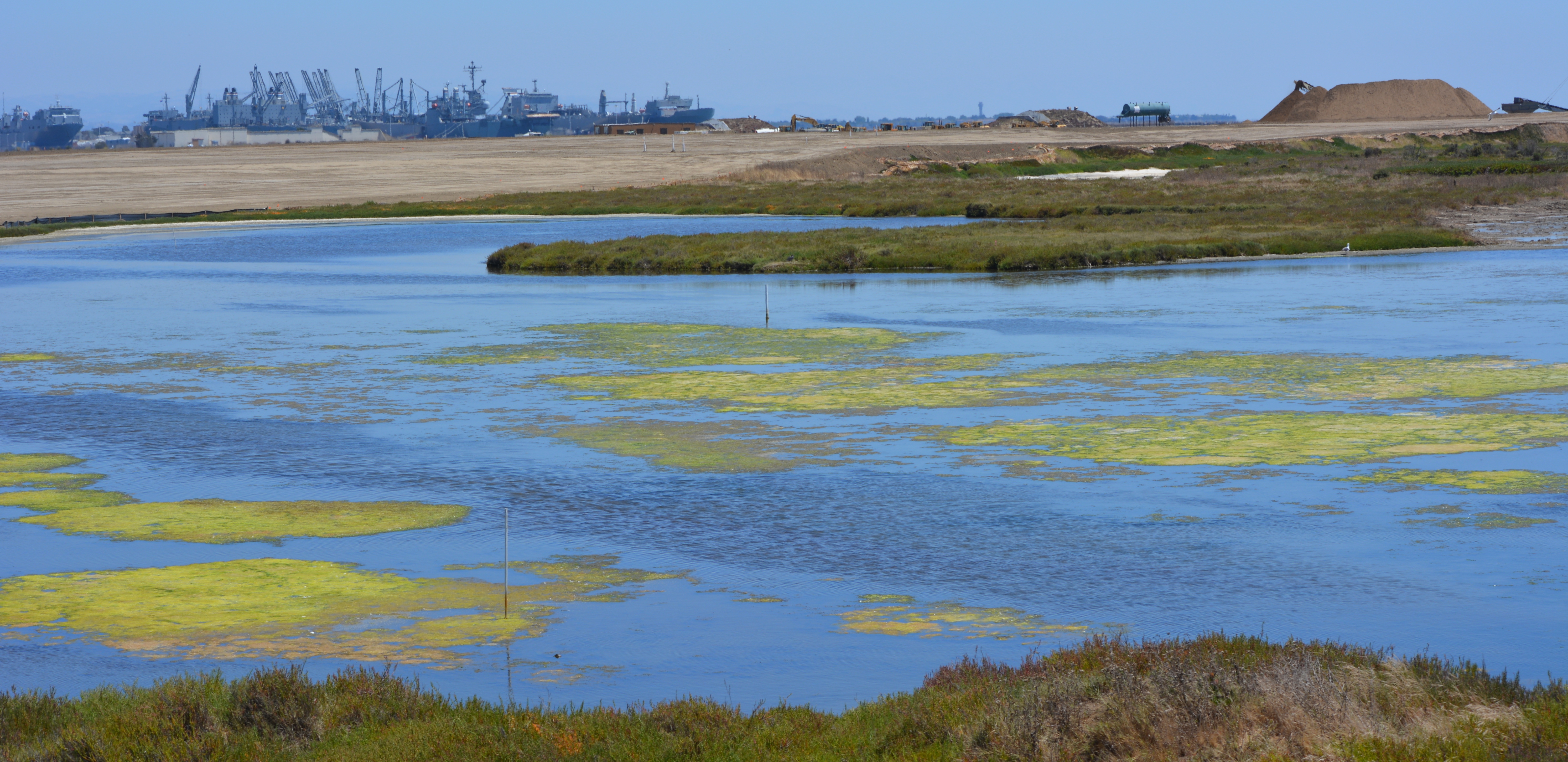
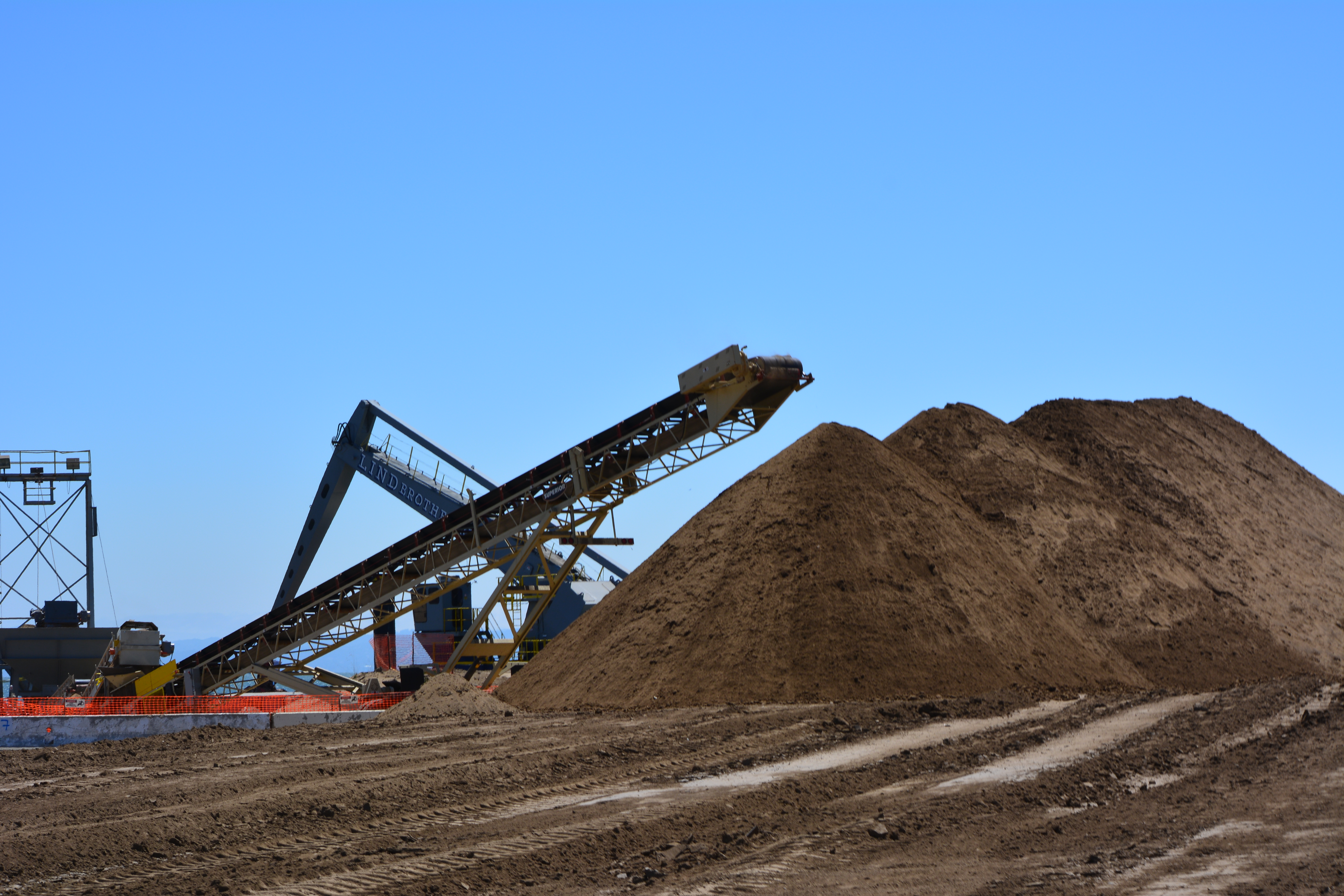
More than 600,000 cubic yards of soil is required to complete the project. Of that amount, 110,000 cubic yards have been recycled from the Seaplane Lagoon dredging after it tested clean. The rest is being barged in from Decker Island in the Sacramento River near the town of Rio Vista.
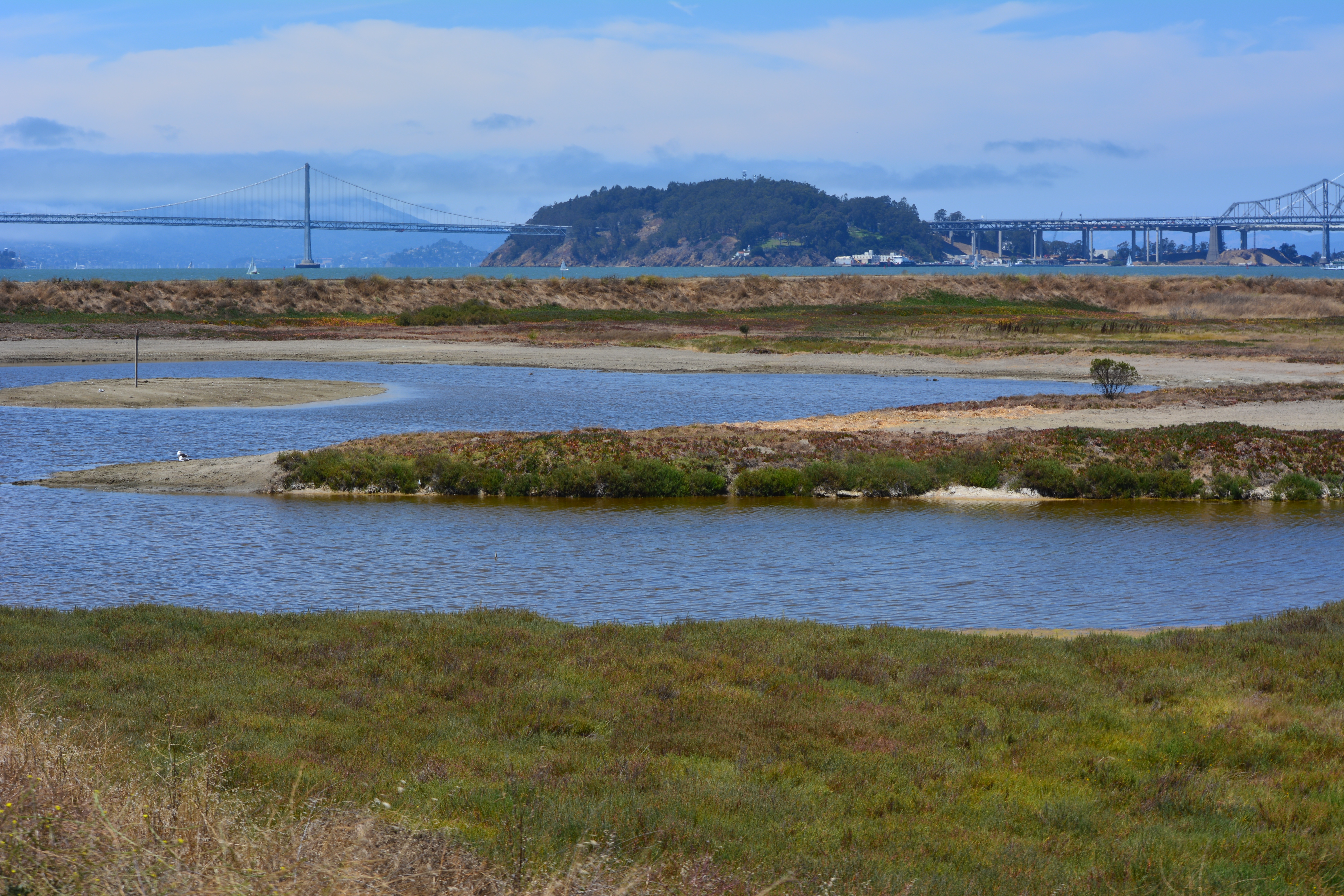
This 110-acre project site, featuring the most scenic viewpoint in all of Alameda, will be transferred to the U.S Department of Veterans Affairs (VA) along with another 400 acres of the Nature Reserve, and 112 acres for the VA’s clinic and columbarium. A nearby public access area on the western shoreline will be developed when the VA completes their road along the northern perimeter of the columbarium to the western shore. The Bay Trail will eventually run along the shoreline.
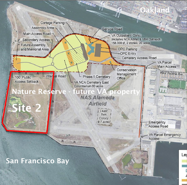
Google map showing Site 2 is here.
For more background, see previous story “Landscaping the Navy’s underground waste disposal site.”

wow this is a good articel,a beautiful place
LikeLike