Cleaning up radium paint contamination at Building 5

Building 5 SU 57

The middle of Building 5, in the mezzanine area, is where radium-226 luminescent paint was applied to aircraft dials and other devices from 1941 to the mid 1950s. The Navy plans to begin removing the radium contamination from the mezzanine area in December of 2012 or January of 2013. 

The harmful health effects of radium were not understood in the mid-20th century.  In fact, just the opposite was the case.  Hundreds of products were marketed that touted the health benefits of radium, including skin creams, bath salts, and even “growth-inducing” plant fertilizers.

It’s no wonder that paint waste was dumped down storm drains in those days.  That’s what happened in Building 5.  It ended up in storm drains leading to the Seaplane Lagoon and the lagoon itself.  By 2010 the Navy had either removed or cleaned the drains leading to the lagoon.  By spring of 2012, the dredging of the Seaplane Lagoon was completed.

There remain only three areas of concern for radium contamination at Building 5 – the mezzanine painting area, some storm sewer lines under the ground floor slab, and the old industrial waste line under West Tower Ave.  The Navy’s recently-proposed plan for leaving radium contaminated drain lines in place has been criticized by the city and the Restoration Advisory Board for being inadequate. 

Plans for removing radium paint stains from floors, walls, and ceiling areas have received little public attention, however. 

The scanning survey

Radiological scanning equipment being used in another building at Alameda Point.

The photos that accompany the Navy’s scanning survey say more about the obsolete condition of the mezzanine area than they do about radium.  Most of the contaminated areas are small patches, which are marked by spray paint and photo outlines.  Class 1 surveys covered 100 percent of floors and walls up to six feet.  Class 2 surveys covered 50% of areas above six feet.  Floors and walls were scanned with a cart-mounted device designed to eliminate human variations in scanning distances.  Hard to reach areas were scanned with handheld devices.

Radiological scanning equipment being used in another building at Alameda Point.

Areas that were scanned included the paint shops, instrument shops, pathways from the instrument shops to the first floor staging areas, as well as buffer areas around those rooms and the ventilation system.

Building 5 SU 43

Building 5 SU 10

Radium 226 poses a health risk when ingested.  The radiation is relatively low, but since the distance to cells within the body is effectively zero, the impact is high.  And it’s effects are relentless, since it is not easily expelled from the body.

DSC_1496The mezzanine area is in the area also known as the Breezeway, which runs east to west between the two hangar areas of Building 5.  Hopefully this lead paint contaminated architectural oddity will be torn down so that we can more readily attract businesses here and to the surrounding areas.  It has an easily identifiable wooden wall on the western side, marking it as one of Alameda Point’s most prominent eyesores. 

In the mid 1950s, the radium paint operation was moved across West Tower Avenue to Building 400.  This building will undergo radioactive paint remediation at the same time as Building 5.

Photo galleries: 

Click on any photo below to enlarge and play slideshow.                                                                                                                                                     

Photo sampling of survey areas within Building 5.


Scanning equipment being used in other buildings at Alameda Point.

Digitized image of normal background radiation.  The scanner looks for "hot spots" that exceed background.
Digitized image of normal background radiation. The scanner looks for “hot spots” that exceed background.

All photos are Navy photos, except for exterior photo of Building 5 Breezeway.

Related story published on the Alameda Patch.

Runway soil cleanup underway on wildlife refuge

Some of the toxic contamination at Alameda Point is not the result of Naval operations.

The Navy began cleaning up contaminated soil at five hot spots in the airplane runway area of Alameda Point in October.  Cleanup Site 33 – on the area commonly referred to as the wildlife refuge – encompasses the southern end of the main north-south runway and adjacent tarmac, and is near the Least Tern nesting site and a wetland area.

The soil here became contaminated with PAHs (polycyclic aromatic hydrocarbons) before it ever became part of Alameda Point.  The fill material used for creating this land mass was dredged from the Oakland Estuary primarily between 1936 and 1941 by means of a pumping system.  It was contaminated by a coal gasification plant, which operated in Oakland around 100 years ago that disposed of waste into the waterway.  Some of the sediment contamination may also have originated at the Pacific Coast Oil Refinery that once operated on the west end of Alameda.

Site 33 arresting gear structure remnant

The potential health risk from PAHs, normally through ingestion of dust, has been part of cleanup evaluations for over a decade.  The Navy and regulatory agencies agreed to the EPA’s residential soil standard in 2001.

PAH soil sampling began in 2002 at 300 locations throughout Alameda Point, including Site 33, producing over 1,200 samples.  The 500-plus acre wildlife refuge parcel had 79 soil borings that produced 316 samples.  Five boreholes exceeded residential use standards.

A 2008 report recommended additional testing at Site 33 that was done in 2010, leading to the current cleanup work at the five hot spot areas.

Over the past 22 years, more than 28 environmental studies have been conducted on the “refuge parcel,” looking at everything from volatile organic compounds, petroleum byproducts, PAHs, pesticides, PCBs, dioxins, explosives, metals, and radium.  They analyzed surface sediment, soil, surface water, underground water, manhole sediment, and animal and plant tissue samples.  Aerial photographs were also reviewed.

Talks between the Navy and US Fish & Wildlife Service for establishing a national wildlife refuge reached an impasse a decade ago, before many of these studies were completed, due to Fish & Wildlife’s concerns about liability for unforeseen cleanup expenses.

Refuge runway – Site 33 – one of five soil excavation areas

Today, the refuge parcel is slated to be transferred to the US Department of Veterans Affairs.  Only about 40 acres of the refuge will be needed for their national cemetery and clinic if plans are approved to move most of the project northward onto the city’s Northwest Territories parcel.

The Navy will present an update on Site 33’s soil cleanup at the next Restoration Advisory Board meeting, 6:30 PM, Thursday, Nov. 8 at 950 West Mall Square, Community Conference Room at rear of building.

California Brown Pelicans roosting at Alameda Point

L-shaped Breakwater Island – largest brown pelican roosting site in San Francisco Bay – with San Francisco in background. Breakwater rocks in foreground extend back to Encinal Boat Ramp.  Former Naval Air Station is located to the right.

The successful recovery effort for the once endangered California brown pelican is evident every summer through fall on Breakwater Island, an area which forms the beginning of the Alameda Point Channel leading to the ship docks and Seaplane Lagoon.  The breakwater is a wall of boulders built up from the Bay floor to reduce wave action in the harbor.

California brown pelicans were listed as an endangered species in 1970.  The pesticide DDT was identified as the cause of their decline.  It caused reproductive harm, and altered the birds’ calcium absorption, which led to thin eggshells that would break under the parents’ weight.  Use of DDT was banned in the United States 1972. 

A recovery effort was launched in the 1970s on Channel Islands National Park off the coast of Santa Barbara. The only breeding colonies of California brown pelicans in the western United States are within Channel Islands National Park on West Anacapa and Santa Barbara islands.

California brown pelican preening on Breakwater Island.

In the summer and fall, the brown pelicans can range from nesting colonies in Mexico and the Channel Islands all the way up to British Columbia.  Alameda Point’s Breakwater Island is the largest roosting site in San Francisco Bay. A safe, secure roosting area is essential for pelicans to rest, preen, dry their feathers, maintain body temperature, and socialize.

When the Naval Air Station was still active, the Navy enforced restrictions against boats landing on the Island and posted signs that warn against disturbing the birds.  Since the base closed, there has been no one to enforce regulations against disturbing the pelicans. 

California brown pelicans relaxing on Breakwater Island on sunny fall day. Their mouth sack is the largest of any bird and is used to scoop fish when they plunge into the water.

The California Brown Pelican was removed from the Endangered Species List in 2009 after an almost 40-year recovery.  There is currently no plan to look out for the welfare of these magnificent birds after the base is transferred out of Navy ownership.  One way to ensure adequate protection and provide public education and appreciation of this unique ecological asset is to have it be part of an “Alameda Point Wildlife Conservation Area.” The East Bay Regional Park District would be an excellent agency to manage it; they already have a marine conservation area at nearby Crab Cove.

Young California brown pelican with leg band.

Young brown pelican
Old-timer. Brown pelicans can live to 30 years.

Close-up photos of Breakwater Island pelicans were taken in October 2012 from a kayak.

View more Breakwater Island pelican photos in the Flickr photo set.

More information is available on the Channel Islands National Park website.

This story is reprinted on the Golden Gate Audubon Society’s blog Golden Gate Birder.

Update – October 23, 2012

The brown pelican pictured above with a leg band reading “K69” was brought to the International Bird Rescue clinic in Cordelia near Fairfield, CA on July 9, 2012 in a thin and weak condition.  It is less than a year old.  After a one-month rehab, it was released at the Elkhorn Slough Estuarine Reserve near Watsonville on August 10.  A blue band on a pelican leg means it was given a helping hand at one of the two clinics operated by International Bird Rescue – located in the San Francisco Bay Area and Los Angeles. Some of their released pelicans have been spotted in Oregon and Washington.  If you see a pelican with a blue leg band, they’d like to hear about it.

Least terns depart – volunteers move in at Alameda Point refuge

The last egg, abandoned at the end of the season.

The least tern nesting season ended in mid-August much as it usually does – a lonely and dangerous place for young terns.  There were three of four pairs of adults flying back and forth with food for their young chicks.  These late nesters are often the ones whose eggs or chicks were attacked by avian predators and have re-nested.  Their vulnerability is only compounded as the weeks wear on because the rest of the adults and their flight-ready young have left, leaving the remaining families without the strength of numbers to mob a predator.

Volunteers arrived at the nesting site on September 9th to begin gathering up the oyster shells, wooden A-frame shelters, and clay tiles randomly arrayed about the site that serve as camouflage and chick shelters from predators.  

They also carefully gathered up over 300 numbered nest markers that were placed near the nests by the US Fish & Wildlife biologist.  A tern nest consists of a small depression in the gravel – no twigs.  The four-inch white nest marker rings are set upright in a plaster base and each have a number.  This allows Fish & Wildlife to monitor breeding success and record predator activity such as taking of eggs.  Between now and next April when the terns return, the site’s substrate of gravel will be groomed and weeds removed.

On September 16th, volunteers returned to continue gathering oyster shells and taking care of another task:  Removing a pernicious weed call stinkwort.  It is virtually impossible to eradicate stinkwort with herbicides and must be removed by hand.  Pulling the tough sticky weed out by its roots is usually not successful, and volunteers were limited to chopping the weed off at its base.  If not removed by fall, the weed would begin releasing seeds that find their way through the gravel and into small crevices in the old pavement underneath.  The weed is so prolific that it can quickly inundate an area.

It is undesirable to have any weeds in the nesting site or in the immediate vicinity of the nesting site.  The historic nesting habitat of the terns is on beaches.  The presence of vegetation in close proximity to the nesting area signals possible hiding places for predators and may cause the terns to look elsewhere for safe nesting.

On both days, volunteers included members of the Key Club at Encinal High School  in Alameda, a student organization that encourages volunteerism.

Monthly work parties organized by the Friends of the Alameda Wildlife Refuge will continue through March of next year.  The terns arrive in April.  To get involved, contact FAWR.

Wildlife refuge gets the ax in VA development at Alameda Point

The US Department of Veterans Affairs (VA) received a green light from the US Fish & Wildlife Service (Fish & Wildlife) for their Alameda Point clinic and national cemetery project in late August.  Fish & Wildlife issued its biological opinion, which focuses only on the impacts to the least tern colony that nest on the previously proposed wildlife refuge.  While they agreed with the VA that the project would adversely affect the least tern, they concluded their review by saying the tern colony’s existence is not placed in jeopardy by the plans.

The area labeled “VA Undeveloped Area” used to be labeled “Wildlife Refuge”

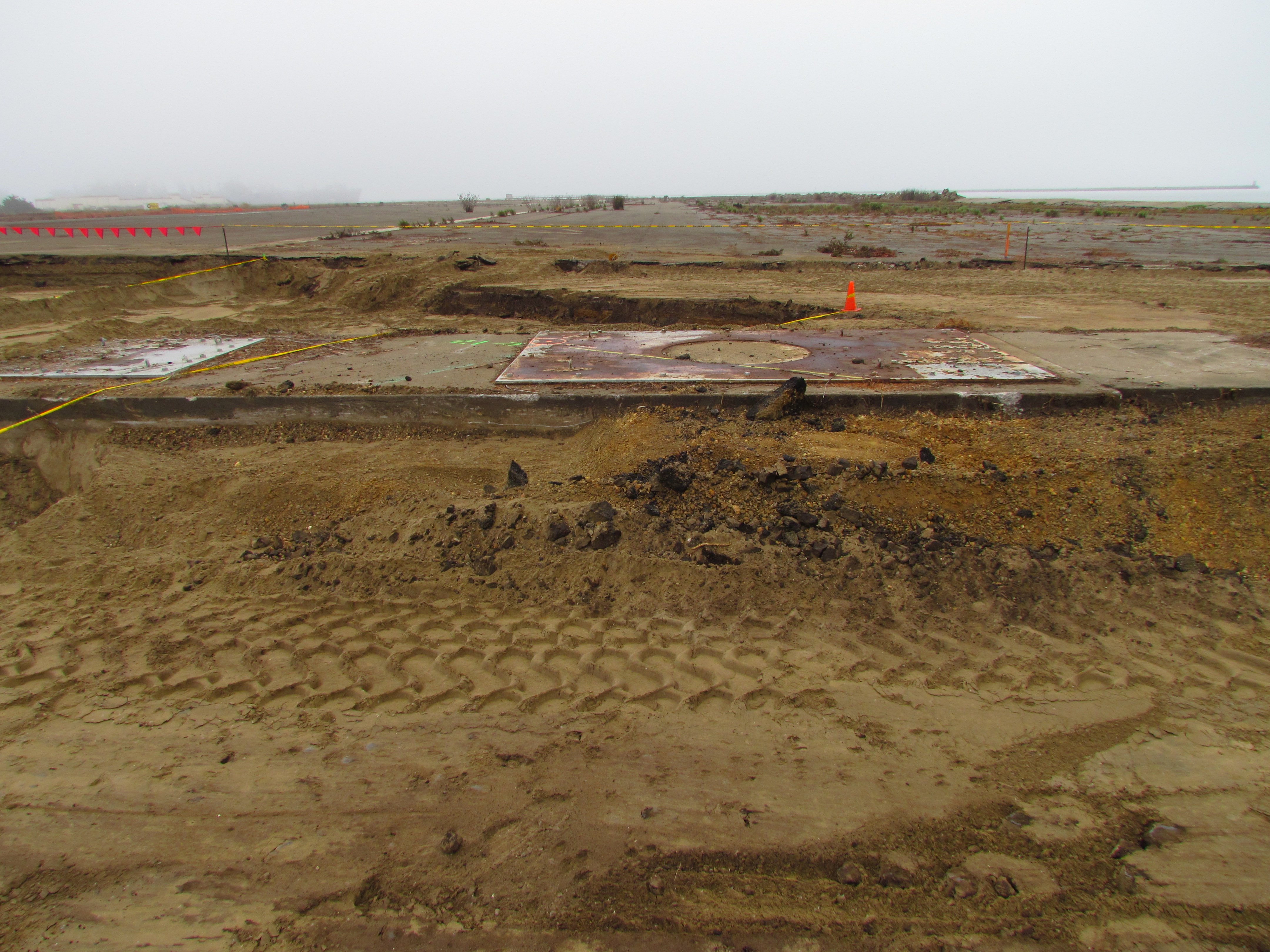
The opinion includes a description of the VA’s planned uses for the 511 acres, labeled “VA Undeveloped Area,” that will not be used for the clinic or cemetery.  The description makes clear for the first time that the national wildlife refuge envisioned by Fish & Wildlife in 1998 is dead.  Other than the 9.7-acre nesting area for the terns, the remainder of the tarmac, taxiway, and runway pavement will be used for emergency training exercises during the non-nesting season (August 16 – March 31), and set aside to be used as a staging area during emergencies and natural disasters.  Two ammo bunkers will be used to store emergency supplies.

The VA has been working with the Navy since 2005 to take over the proposed 549-acre wildlife refuge.  Previous talks between Fish & Wildlife and the Navy ended over disagreements about environmental cleanup.

Still, the Golden Gate Audubon Society, the main advocate for a wildlife refuge, held out hope for a full-fledged wildlife refuge.  Their website has a conservation page dedicated to the Alameda Wildlife Refuge that lists one of their goals as:  “Achieve transfer of land from the U.S. Navy to the U.S. Fish & Wildlife Service to create the Alameda National Wildlife Refuge.”

A colony of the endangered California Least Terns has been nesting here for decades.  The VA’s project stalled last year over proximity to the tern nesting site, but was revived when a compromise plan emerged that will move the clinic facilities and part of the cemetery northward away from the terns.  Due to the terns’ status as an endangered species, the VA needed clearance from Fish & Wildlife for their project to proceed.

Another indicator of the downgrade from wildlife refuge to surplus land with a small bird sanctuary is the amount of parking for the VA’s Conservation Management Office – the Nature Center – to be built next to their clinic.  It will have ten parking spaces.  In contrast, the 1998 Fish & Wildlife plan for a national wildlife refuge included visitor projections that ranged from a low of 46,000 to a high of 113,000 annually.

Fish & Wildlife’s funding projections in 1998 dollars were $848,000 for initial capital costs, and $299,000 per year for full staffing.  The Fish & Wildlife refuge plan called for wetland restoration, screened observation platforms for viewing and photographing wildlife in the wetland area, improving habitat quality for songbirds, and removal of non-native grasses.

Photo above shows weeds killed with herbicide.  Eliminating weed growth in areas like this one to the southeast of the nesting site creates an important roosting area for adult terns and for their chicks learning to fly.  This area is favored by the terns because of proximity to the nearby water in the Alameda Point Channel.  Areas to the far west and north of the nesting area, on the other hand, are poor candidates for weed removal and better candidates for grassland establishment.  New grassland is not part of the plan for managing this area.

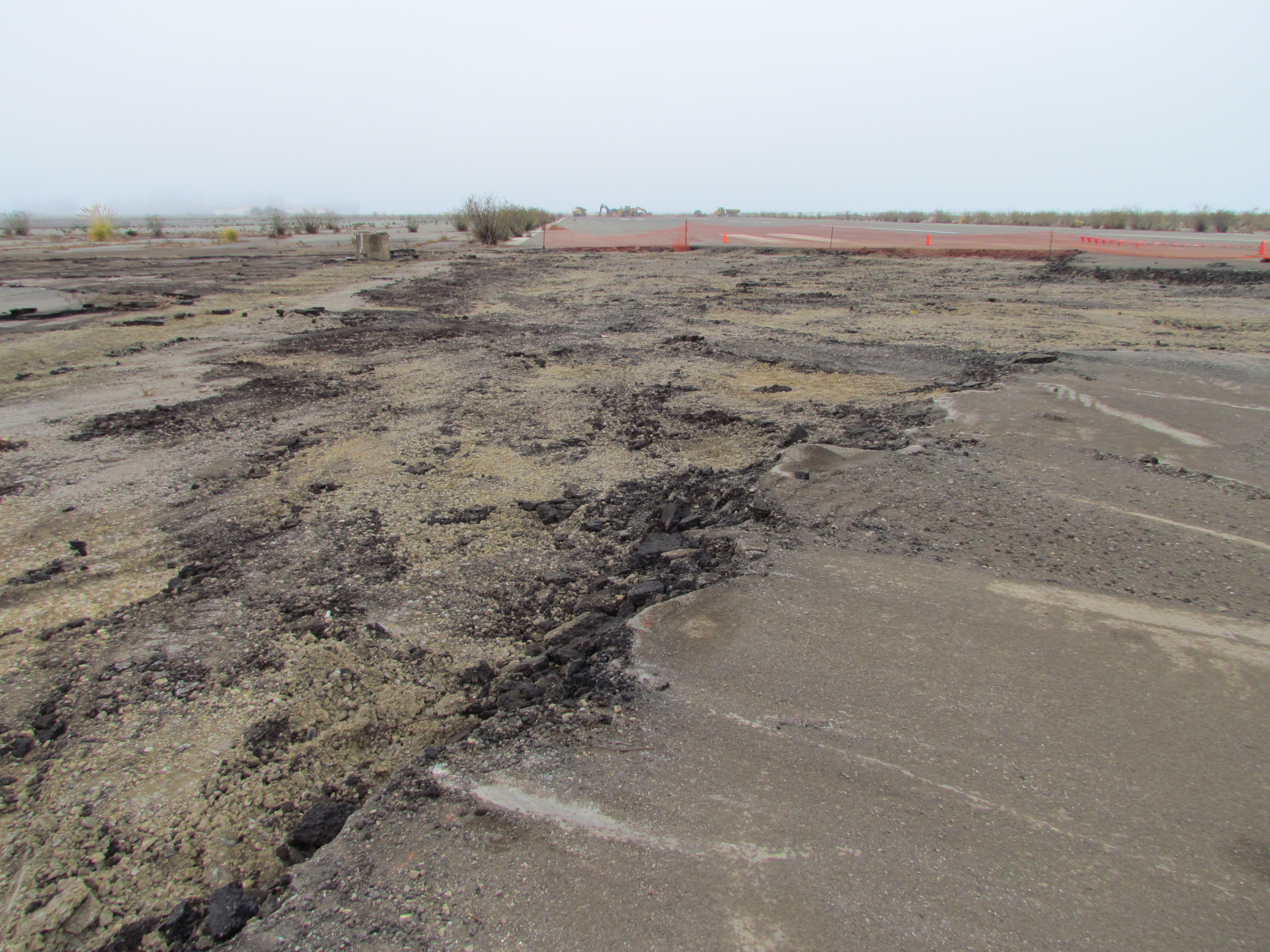
The VA’s plans call for removing the mostly non-native grasses that have grown between the hundreds of pavement slabs.  Herbicides and sealing the pavement cracks are listed as options.  They have no plans to eliminate the pervasive non-native ice plant or to plant native grasses.  Grasslands in the outlying areas of the refuge can provide habitat for prey species like small rodents that would be attractive to birds like hawks that might otherwise focus on the nesting terns for a food source.  Wild grasses are also used for shelter and foraging by common visitors like the killdeer, a shorebird that spends its time on the ground.

Above:  Pockets of grassland on the the far west and north parts of the wildlife refuge offer ideal habitat for prey species that would relieve pressure on the tern colony from avian predators like hawks.  Areas in between these grassland pockets are covered with pavement that would better serve the terns’ welfare if it were removed and converted to grassland.  Much of the remnant pavement is significantly farther away from the tern colony nesting site than the aircraft hangars.

The land transfer is expected to take place next year after other environmental documents are approved.  The City of Alameda will have to approve the change in location for the VA project.  The city is currently slated to receive the 220-acre area on the northwest part of the runway area along the Oakland Estuary – the Northwest Territories – where the VA clinic and part of the cemetery are planned.

Alameda’s city council must approve an amendment to the no-cost conveyance agreement with the Navy signed last year.  This will allow the Navy to keep 70 acres of the Northwest Territories that it will then include in the Navy-to-VA transfer.  Approval of the land transfer by the city council without conditions for establishment of a wildlife refuge will effectively amend the community reuse plan adopted in 1996.

A shorter version of this story was first published in the Alameda Sun.

More photos and commentary 

Above is a typical view of the vegetation-free zone around the tern nesting site.  This view is looking southeast toward the Alameda Point Channel.  Beyond the cleared pavement is the area shown in the article above with all the weeds killed.  

Photo above shows taxiway next to grassland in north part of wildlife refuge.  Instead of removing weeds between pavement cracks, the pavement itself should be removed and a contiguous band of grassland established for predators to hunt in.  A mismatched hodgepodge landscape is not scientific wildlife or ecosystem management.

Hodgepodge landscape such as the above in the far western area of the wildlife refuge is not helping the terns to thrive.  The ice plant does not offer the habitat quality that grasslands would offer.  And the adjacent patchwork of pavement does little if anything to simulate a beach habitat favored by the terns for nesting.  Grasslands here would do more to help the terns by providing prey for avian predators than by leaving it as is.  Leaving this amount of pavement to capture heat rather than capture carbon is at odds with climate change science.  This particular area is only a stone’s throw away from the water and could easily accommodate pockets of wetland supplied by water via an open culvert.

This wetland in the above photo is on the interior of the wildlife refuge.  It is not seasonal – it’s permanent.  This photo was taken on September 16, 2012 when all seasonal wetlands on the refuge and adjacent Northwest Territories were completely dry.  The water source can only be from the Bay via the tide.  The VA’s columbarium cemetery footprint currently includes this wetland, which is not officially mapped as a wetland.

This stand of willows above is a favorite area for songbirds.  It may be compromised or completely removed for construction of the VA clinic.

The photo above shows the Runway Wetland at the southeast corner of the wildlife refuge in mid-September 2012.  This area looks like a small lake during most of the year.  The southern edge of this wetland comes within 20 feet of the Alameda Point Channel and could easily become a year-round wetland if an open culvert were created in the seawall.  No plans for such environmental enhancements are likely to emerge for land that is labeled “VA Undeveloped Area.”  Not one additional acre of wetland is being suggested for the area formerly known as the wildlife refuge – a failing grade in environmental stewardship.

Killdeer love the wildlife refuge and the habitat shown in the photo above.  Only about a dozen pair nest here, but for reasons not entirely clear, between one hundred and two hundred killdeer arrive in the winter and can be seen roosting on the tarmac area.  Killing all vegetation between the pavement slabs would destroy valuable bird habitat.
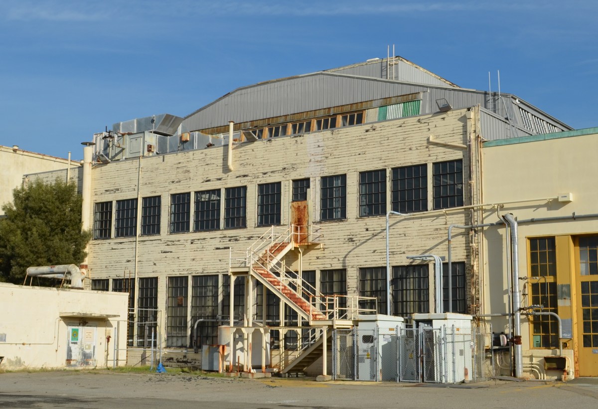
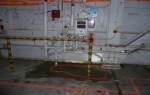
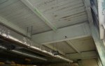
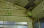
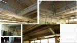
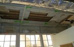
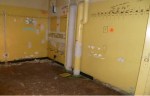
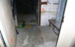
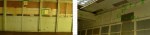
Ending threat of solvents in groundwater leaching into San Francisco Bay

Site 1 at the northwestern tip of Alameda Point was used as the principal disposal area for all waste generated at Naval Air Station-Alameda from 1943 to 1956.  This disposal area, which was once part of the Bay, was created by sinking pontoons and barges in the Bay and backfilling with dredge soil.

Disposal of cleaning solvents and petroleum products at one unlined pit within the landfill resulted in a groundwater plume that poses a threat of leaching into San Francisco Bay today.

In the 1990s the Navy installed an underground barrier system, called a funnel and gate permeable reactive barrier, to stem the flow of contaminants into the Bay.  It was not a permanent solution.  In July of this year the permanent solution began with the injection of neutralizing chemicals into the plume.

Protecting marine life

San Francisco Bay at Alameda Point western shoreline where threat of solvent leaching exists.

Most cleanup activities around the base are aimed at eliminating direct health risks to humans, such as from soil or from vapors that could enter a building.  In a few cases, the cleanup is focused first on direct impacts to marine life such as fish, which could in turn cause health problems for people who eat them.

The cleanup effort at the Site 1 plume is one of those cases.  This effort will keep toxins — solvents, petroleum products, and metals — from ever leaching into the Bay, being ingested by fish, and then consumed by humans.  The effort will also reduce unacceptable levels of vapors that are escaping directly above the plume.  The future use of the site will be restricted to open space recreational.

The process

July 2012 – Manifold system of hose lines that send oxidant chemicals to individual wells that go into the underground plume contamination area. Navy photo.

The chemical injection process, called In Situ Chemical Oxidation (ISCO), is accomplished by injecting oxidants (catalyzed hydrogen-peroxide and sodium persulfate) into the plume through injection wells.  “These oxidants produce short-lived reactions that directly destroy the targeted contaminants,” according to the Navy.  Groundwater tests will determine if further treatments are necessary.

Tanks of chemicals for neutralizing solvent plume. Shown as work area being set up in June 2012.

Treatments will continue until either the groundwater is clean enough, or the solvent and petroleum concentration has been reduced by 75%.  Once they get to 75% reduction, further injections are more or less a waste of money.  From then on, the contaminant concentration is low enough that the remainder will either degrade or disperse and dilute naturally without posing a risk to fish or humans.  This process is called natural attenuation and is often relied upon to finish the job when the bulk of contaminants are neutralized and treatment methods no longer yield effective results.

The groundwater plume is also contaminated with metals consisting of arsenic, copper, mercury, nickel, silver, and zinc.  The metals problem will, in theory, be taken care of when the solvents and petroleum products are eliminated.  This will cause the chemistry of the groundwater to change, which in turn will cause the metals to no longer remain dissolved in the water.  The metals will return to their solid state and remain where they are.  That’s the theory.

But to make sure it’s working, there will be a long-term groundwater monitoring program to make sure the metals aren’t moving.  If problems arise in the future, the Navy will have to come back and design a new remedy.  The Navy is responsible for the landfill’s contents staying in place in perpetuity.

Map of Site 1 disposal area with arrow from left indicating plume treatment area. Map also shows outlines of individual unlined pits that were used for disposal of waste. Half of the area is now covered by runway.

The Navy opted not to remove the landfill contents because of the $93 million price tag and because the risk of contaminant releases was deemed low.  A new set of environmental concerns associated with digging up and hauling away a landfill was also cited during the decision process.

The groundwater plume being treated is approximately 30 feet wide by 160 feet long, and it occurs mainly between depths of 5 and 10 feet below the ground surface.

Site 1 groundwater treatment work underway in July. San Francisco in background. Navy photo.

Delay on soil cover

All of 30-acre Site 1 will eventually be covered with soil and seeded with native grasses.  Work on the soil cover was delayed when the contractor discovered that the part of the landfill once used for burning waste was larger than expected.  The documentation has to go back through the review process, with a work plan for the soil cover hopefully prepared and ready to implement by 2014.

Wildlife refuge activist nominated for KTVU award – Vote online

Alameda resident Leora Feeney is one of three finalists in KTVU’s annual Cox Conserves Heroes contest.  KTVU, owned by Cox Media, is partnering with The Trust for Public Land to honor local environmental activists for their work and inspire others.  The winner will be determined through online voting that is underway now through September 24.

KTVU will donate $10,000 to the nonprofit of the winner’s choice.  Feeney’s choice will be the Friends of the Alameda Wildlife Refuge, a committee of the Golden Gate Audubon Society.  Feeney hopes that some of the money will go toward a video camera system on the perimeter of the Least Tern nesting area that would help with monitoring activity and public education.  The Friends of the Alameda Wildlife Refuge helps maintain the site during the non-nesting season and conducts educational programs in schools.

You can vote for Feeney, and help our wildlife refuge, by going to KTVU’s Cox Conserves Heroes page  and clicking on the headline ***Vote now through September 24***.

Feeney first got involved with the Least Terns at Alameda Point in the 1980s when it was still an active naval air station.  She was managing a small California Least Tern colony on the Oakland Airport property when she offered to help the Navy’s biologist overseeing the recently established tern colony at the Navy base.

When the announcement came down in 1993 that the base was closing, Feeney helped organize a symposium at the College of Alameda on “Alameda Naval Air Station’s Natural Resources and Base Closure.”  This symposium was instrumental in laying the groundwork for setting aside over 500 acres for a wildlife refuge in the 1996 Community Reuse Plan.

Horned Larks arrived shortly after weeds were pulled from this area near the tern nesting site in early 2012 to forage for food.

The Friends of the Alameda Wildlife Refuge became an official committee of the Golden Gate Audubon Society in 1997, the same year that Navy lowered the flag for the last time.  She has been working to protect the terns ever since.  She, along with other experienced birders, began doing twice-monthly bird surveys on the refuge in 2004, which she shares with the US Fish & Wildlife Service and the Navy.  One object of the surveys is to document predators of the Least Tern.

To date, Feeney has seen over 176 different species of birds on the refuge.  About 26 of these species, according to Feeney, have been documented as breeding on the refuge.  One of her most unusual sitings was of a Golden Eagle that came in one spring to eat goslings.  “When the eagle was hunting at the refuge, adult geese would be out on the Bay waters,” Feeney said.  “That was our clue to look for the eagle.”

The wildlife refuge property is slated for transfer to the US Department of Veterans Affairs next year.

Read more and watch a video:  “Protecting the California Least Terns at the Alameda Point Wildlife Refuge”  posted on the Alameda Point Environmental Report on May 3, 2012.

Semi-palmated Plover at Runway Wetlands – Alameda Point wildlife refuge
Plants growing between pavement cracks are a popular hiding place for Kildeer at Alameda Point’s wildlife refuge.
Great Blue Heron nesting in cypress tree on Alameda Point wildlife refuge – April 2012.